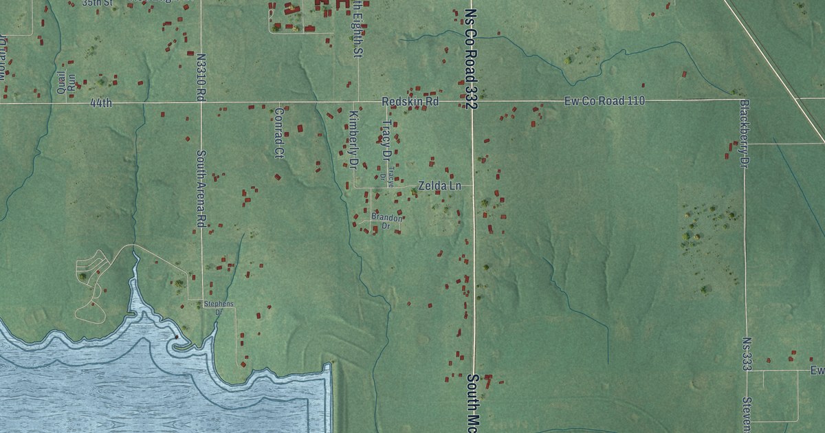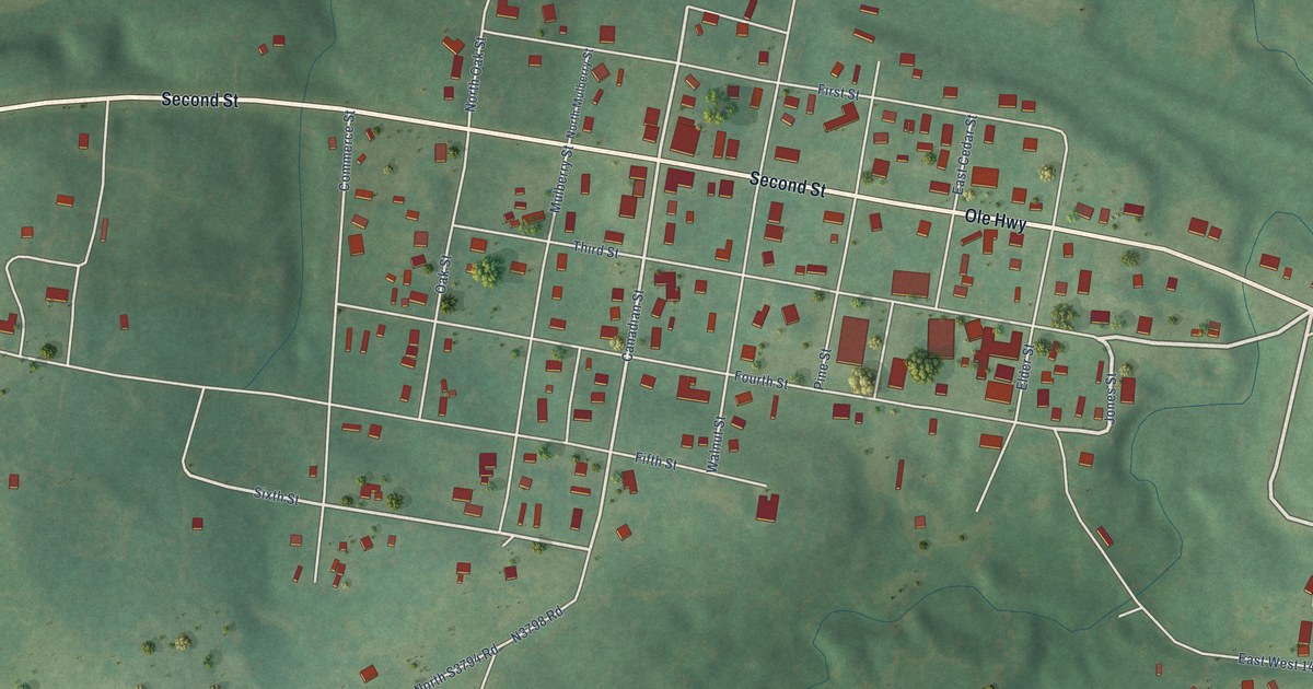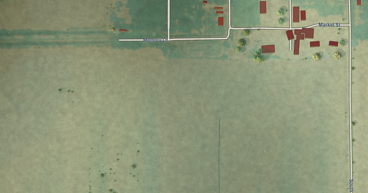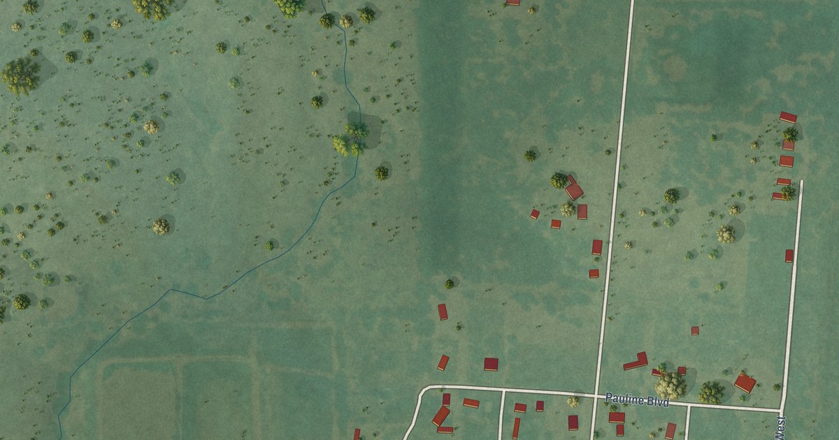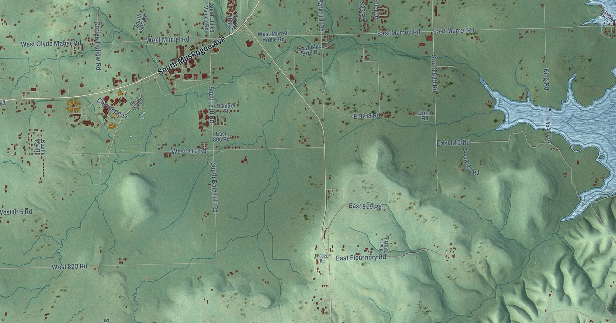
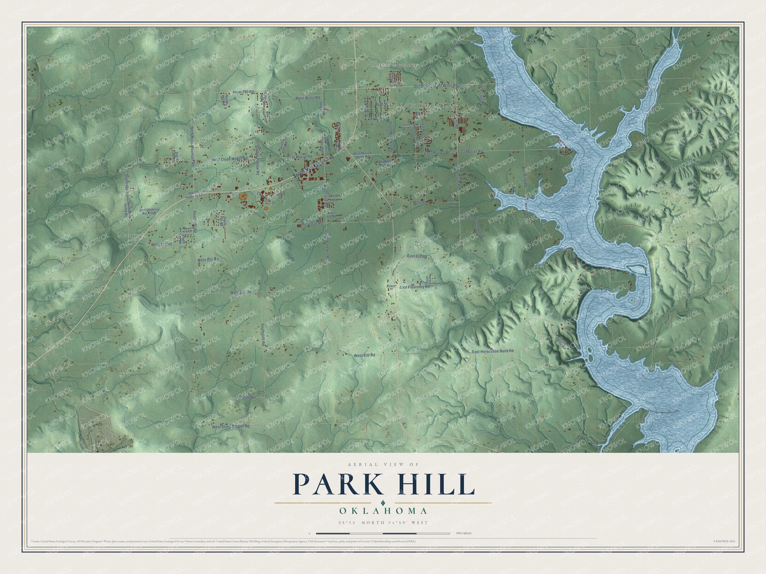
This beautifully detailed map of Park Hill, Oklahoma was created in 2026 using aerial imagery combined with modern topographical, census, street and landmark data. It's a modern aerial view of Park Hill in Cherokee County, Oklahoma, that combines modern data with a vintage aesthetic. The roads feature printed names, and if you look closely you can find your exact house accurately shown in its correct location.
Explore an aerial view of Park Hill, Oklahoma
On this map you'll find Indian Meadows, Metory, Tsa La Gi Indian Village, South Muskogee Avenue, Cherokee Street, West Willis Road, East Willis Road, East Murrel Road, East Murrell Road, D0790 Road, West 790 Road, Ridge Street, and more. Each red shape is a building, so zoom in on the preview and look for yours.
Here is a piece of Park Hill history. Park Hill was home to the original Cherokee Female Seminary, one of the first schools of higher learning built especially to educate women west of the Mississippi River. The seminary was lost to a fire in 1887, but three of its columns still stand on the grounds of the Cherokee Heritage Center. The Cherokee Heritage Center opened on the seminary grounds in 1967. In 2020 the Council of the Cherokee Nation passed an act that transferred the 44-acre campus to the tribe. That's from the Visit Cherokee Nation website.
Park Hill is a community in Cherokee County. The Census Bureau counted 3,193 people here in 2020.
Take a closer look at the Park Hill map
Names on this map
These names are printed on this map.
Places: Indian Meadows, Metory and Tsa La Gi Indian Village.
Streets and roads: South Muskogee Avenue, Cherokee Street, West Willis Road, East Willis Road, East Murrel Road, East Murrell Road, West 790 Road, Ridge Street, South 490 Road, East Horseshoe Bend Road, South 530 Road, West 810 Road.
More street names, A to Z
Byrd Street, Coffee Hollow Road, East 795 Road, East 806 Road, East 810 Road, East 819 Road, East Blue Bird Drive, East Flournory Road, East Turk Street, Frye Street, King Road, Lee Boulevard, Old US Highway 62, Post Oak Street, Rand Avenue, River Drive, River Road, Samuel Street, Sequoyah Club Drive, South 480 Road, South 486 Road, South 488 Road, South 494 Road, South 495 Road, South 500 Road, South 505 Road, South 510 Road, South 511 Road, South 512 Road, South 523 Road, South 526 Road, South 533 Road, South 534 Road, South Bald Hill Road, South Black Valley Road, South Colton Road, South Forrest Drive, South Jules Valdez Road, South Keeler Drive, South Park Hill Road, South Whitmore Lane, Stick Ross Mountain Road, Unkn Road, West 811 Road, West 813 Road, West 815 Road, West 820 Road, West 830 Road, West Clyde Maher Road, West Hickory Nut Ridge, West Maggie Road, West Murrell Home Road, West Murrel Road, West Stone Chapel Road.
See it on a wall
The Park Hill map as a framed print. Swipe for more.


Created by KNOWOL in 2026. The buildings are small red shapes, the roads carry their printed names, and shaded relief shows the shape of the land. The title panel reads "AERIAL VIEW OF PARK HILL, OKLAHOMA" with 35°50' NORTH 94°59' WEST.
It suits a den, a classroom or a front hall, and it makes a gift for anyone with Park Hill roots. Open the preview and find the block you know. See sizes and frames for the Park Hill map.