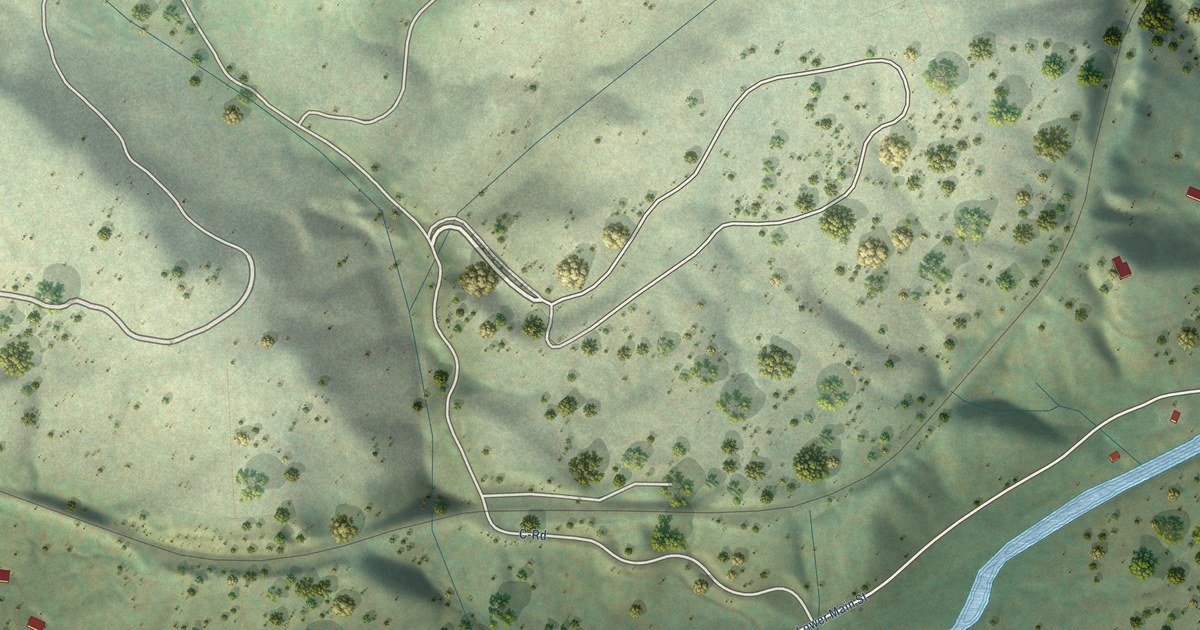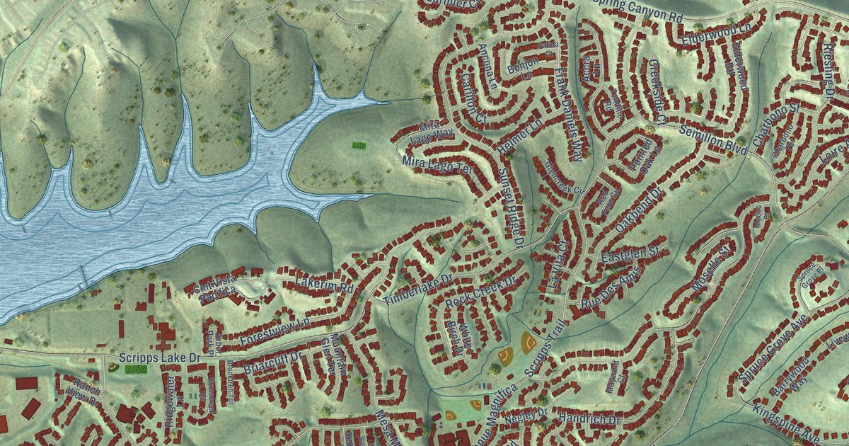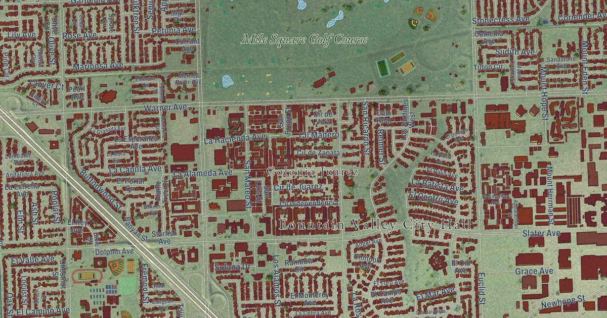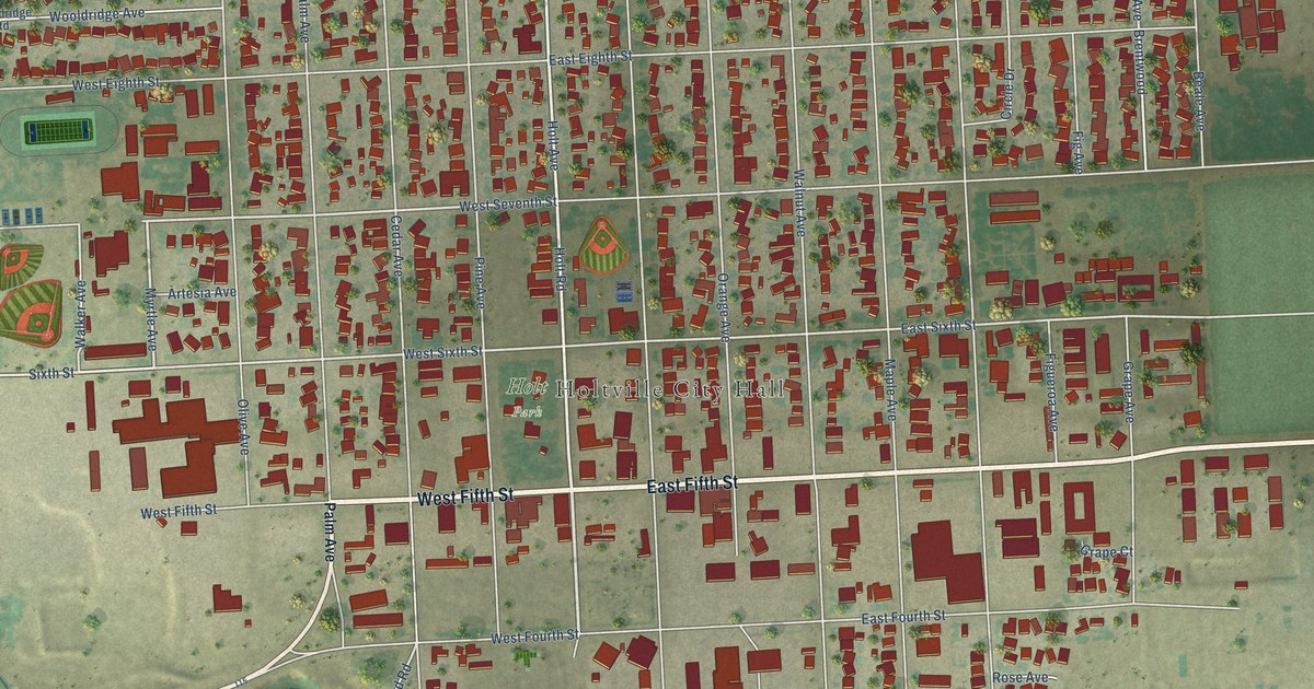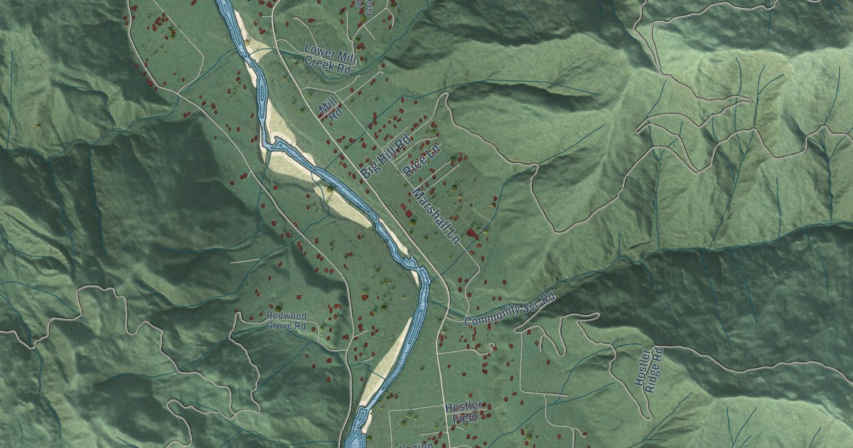
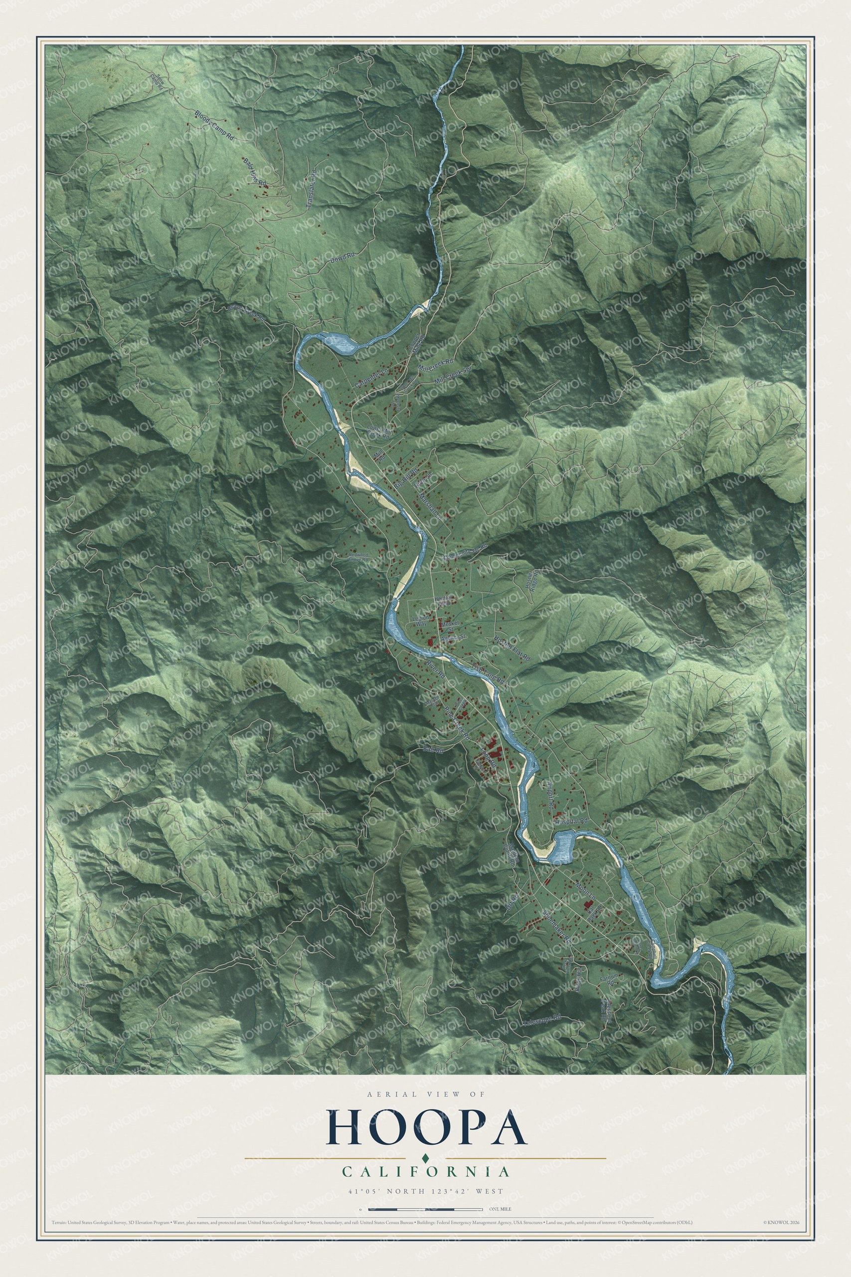
This beautifully detailed map of Hoopa, California was created in 2026 using aerial imagery combined with modern topographical, census, street and landmark data. It's a modern aerial view of Hoopa in Humboldt County, California, that combines modern data with a vintage aesthetic. The roads feature printed names, and if you look closely you can find your exact house accurately shown in its correct location.
Explore an aerial view of Hoopa, California
On this map you'll find Moon Lane, Pine Creek Road, Drt Road, Loop Road, Marshall Lane, Tish Tang Road, Bloody Camp Road, Telescope Road, Dowd Road, Big Hill Road, Shoemaker Road, Carpenter Lane, and more. Each red shape is a building, so zoom in on the preview and look for yours.
Every town has a first chapter, and Hoopa is no exception. In 1876 the Indian agent at Hoopa closed the agency and revived a plan to ship the Hupa people south to Mendocino County, or even to Indian Territory. Though much of the reservation was starving, the Hupa refused to move and held a ceremonial Jump Dance to renew their world and their bond with the Hoopa Valley. To avert war, they were not moved. When the reservation lands were threatened, President Ulysses S. Grant signed an order on June 23, 1876, confirming the 144 square mile Hoopa Valley Reservation, the largest Indian reservation in California. That's from the National Register of Historic Places.
Hoopa is a community in Humboldt County. The Census Bureau counted 3,167 people here in 2020.
Take a closer look at the Hoopa map
Names on this map
These names are printed on this map.
Streets and roads: Moon Lane, Pine Creek Road, Drt Road, Loop Road, Marshall Lane, Tish Tang Road, Bloody Camp Road, Telescope Road, Dowd Road, Big Hill Road, Shoemaker Road, Carpenter Lane.
More street names, A to Z
Agency Street, Airport Road, Bair Road, Bald Hills Road, Baldy Flat, Beaver Creek Road, Cal Pack Road, Campbell Creek Road, Campus Road, Community Svc Road, Copper Mine Road, Farnum Road, Heck Creek Road, Honey Bunch Lane, Hospital Road, Hostler Field, Hostler Flat Road, Hostler Ridge Road, Legion Way, Lower Mill Creek Road, Masten Flat, Matilton Cutoff Road, McCovey Flat, Mesket Street, Mill Creek Road, Mill Creek Spr, Mill Road, Pine Creek, Redwood Grove Road, Rice Lane, River Road, Snow Camp Road, Telescope Peak Road, Translator Road, Upper Mill Creek Road.
See it on a wall
The Hoopa map as a framed print. Swipe for more.


Created by KNOWOL in 2026. The buildings are small red shapes, the roads carry their printed names, and shaded relief shows the shape of the land. The title panel reads "AERIAL VIEW OF HOOPA, CALIFORNIA" with 41°05' NORTH 123°42' WEST.
Hang it in the hallway, the office or the cabin, or give it to someone who left Hoopa and still calls it home. Open the preview and look for a street you know. See sizes and frames for the Hoopa map.