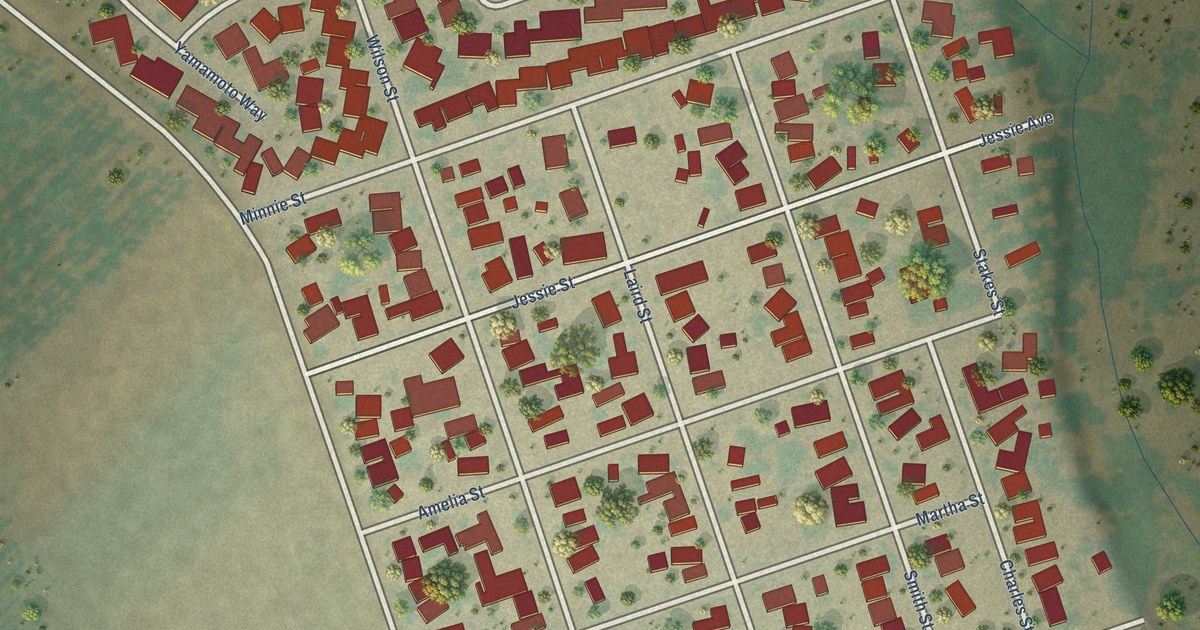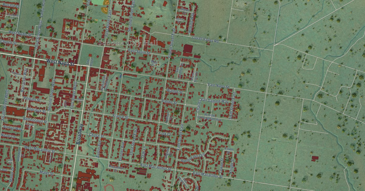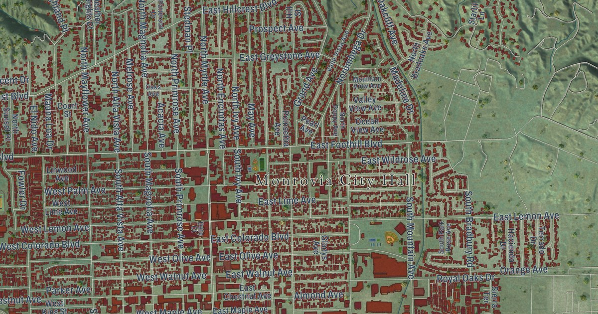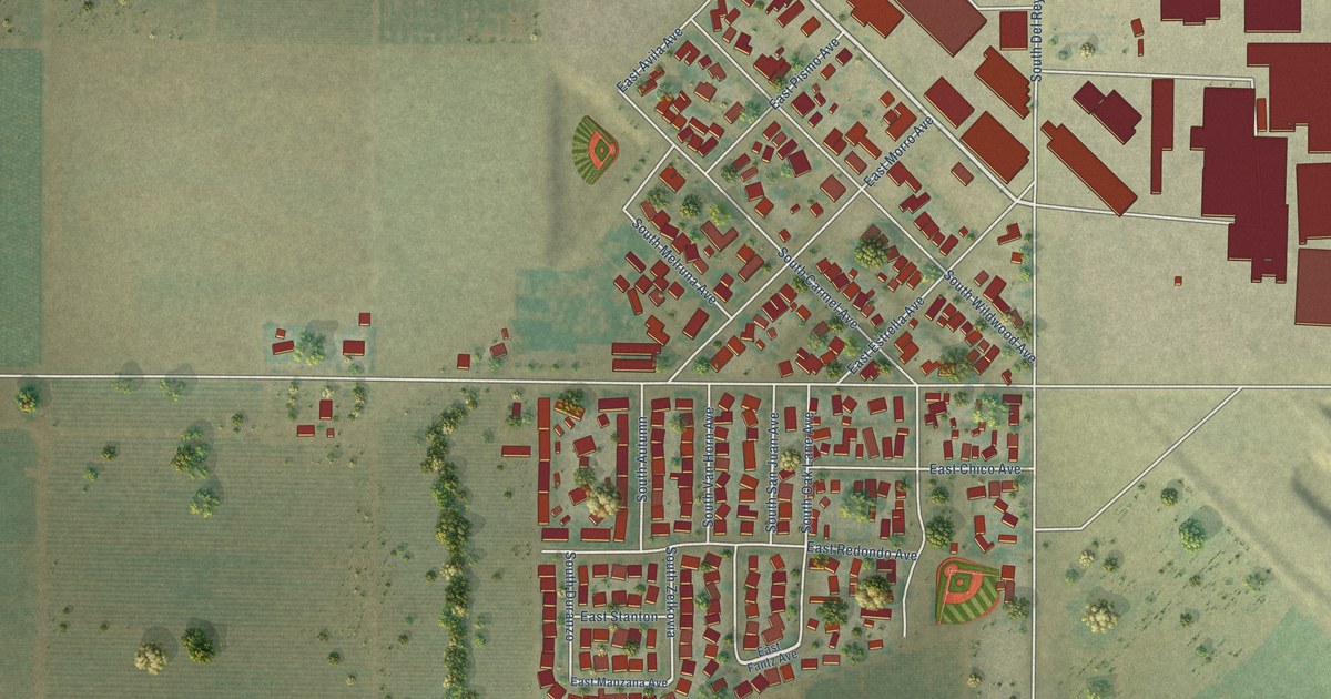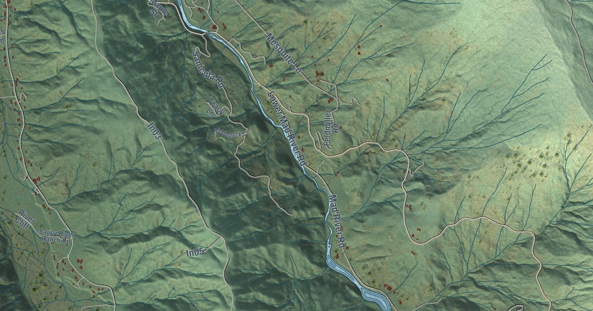
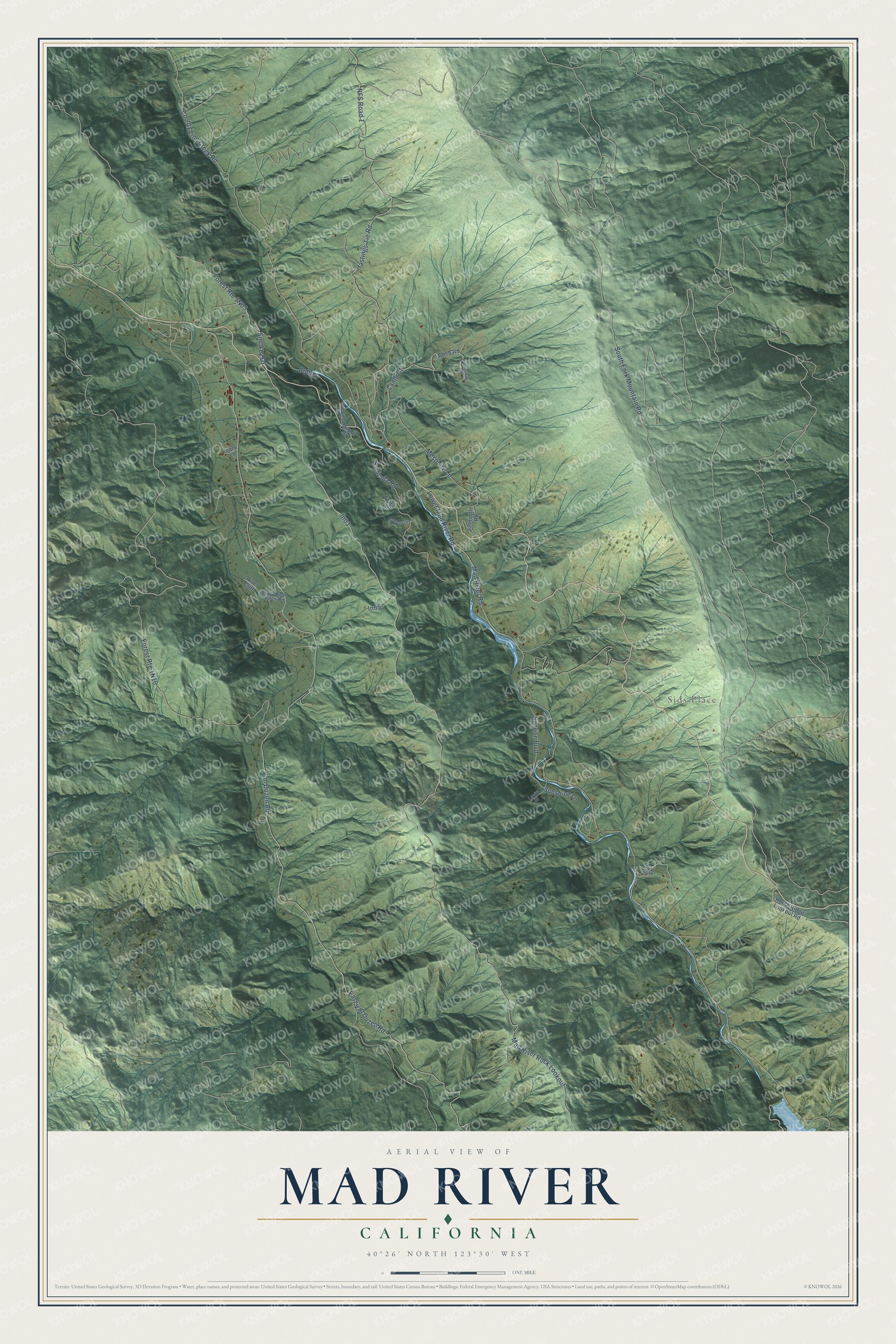
This beautifully detailed map of Mad River, California was created in 2026 using aerial imagery combined with modern topographical, census, street and landmark data. It's a modern aerial view of Mad River in Trinity County, California, that combines modern data with a vintage aesthetic. The roads feature printed names, and if you look closely you can find your exact house accurately shown in its correct location.
Explore an aerial view of Mad River, California
On this map you'll find Sids Place, South Fork Mountain Road, Smokey Drive, In03, Mad River Rock Lookout, Van Duzen Road, Lower Mad River Road, Hastings Tie Road, NFS Road 1, County Line Creek Road, Sanicula Road, Lamb Court, and more. Each red shape is a building, so zoom in on the preview and look for yours.
Every town has a first chapter, and Mad River is no exception. The Mad River got its name in December 1849 from an exploring party led by Dr. Josiah Gregg. Gregg flew into a rage when his companions would not wait while he measured the latitude at the river's mouth, so they named the stream for the quarrel. One of the party wrote that some of the men came close to throwing the doctor, instruments and all, into the river before calmer counsel won out. That's from the 1969 book California Place Names.
Mad River is a community in Trinity County. The Census Bureau counted 361 people here in 2020.
Take a closer look at the Mad River map
Names on this map
These names are printed on this map.
Places: Sids Place.
Streets and roads: South Fork Mountain Road, Smokey Drive, In03, Mad River Rock Lookout, Van Duzen Road, Lower Mad River Road, Hastings Tie Road, NFS Road 1, County Line Creek Road, Sanicula Road, Lamb Court, Mad River Road.
More street names, A to Z
95th Street, Bolton, Duncan Road, East Van Duzen Road, Feldmiller Road, Fiddleneck Lane, Horse Ridge Lookout Road, In05, Lambcreek Road, Lamb Road, Lars Lane, Levitt Street, Maple Street, Mesquite Lane, River Cliff, Saucy River Ranch Road, Sunrise Boulevard, Sunshine Lane, Tracy Lane.
See it on a wall
The Mad River map as a framed print. Swipe for more.


Created by KNOWOL in 2026. The buildings are small red shapes, the roads carry their printed names, and shaded relief shows the shape of the land. The title panel reads "AERIAL VIEW OF MAD RIVER, CALIFORNIA" with 40°26' NORTH 123°30' WEST.
Hang it in the hallway, the office or the cabin, or give it to someone who left Mad River and still calls it home. Open the preview and look for a street you know. See sizes and frames for the Mad River map.