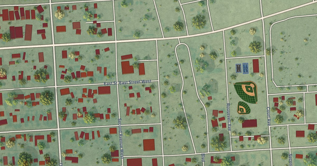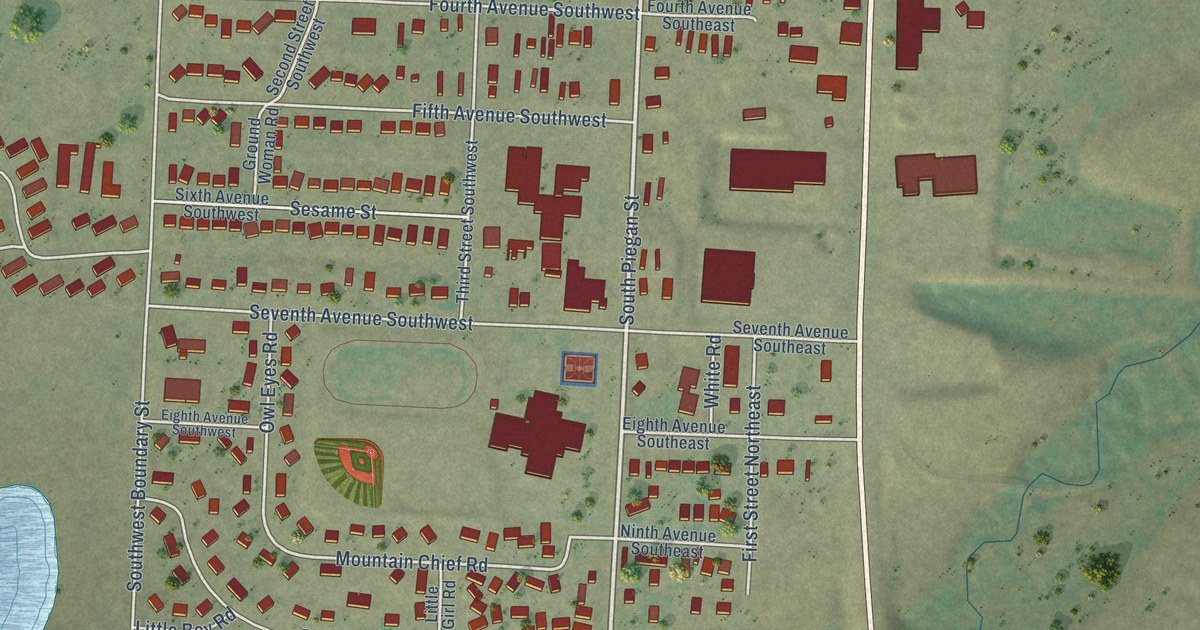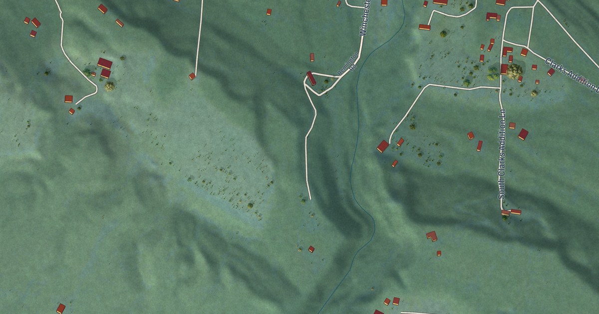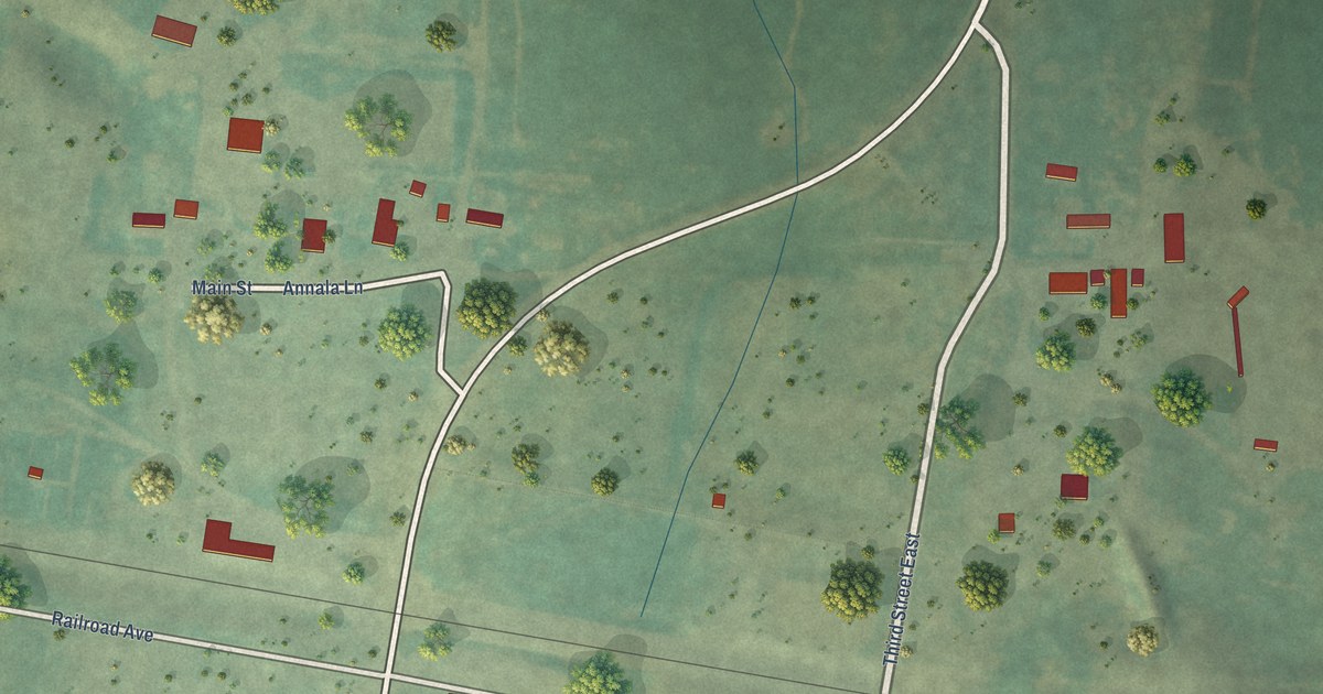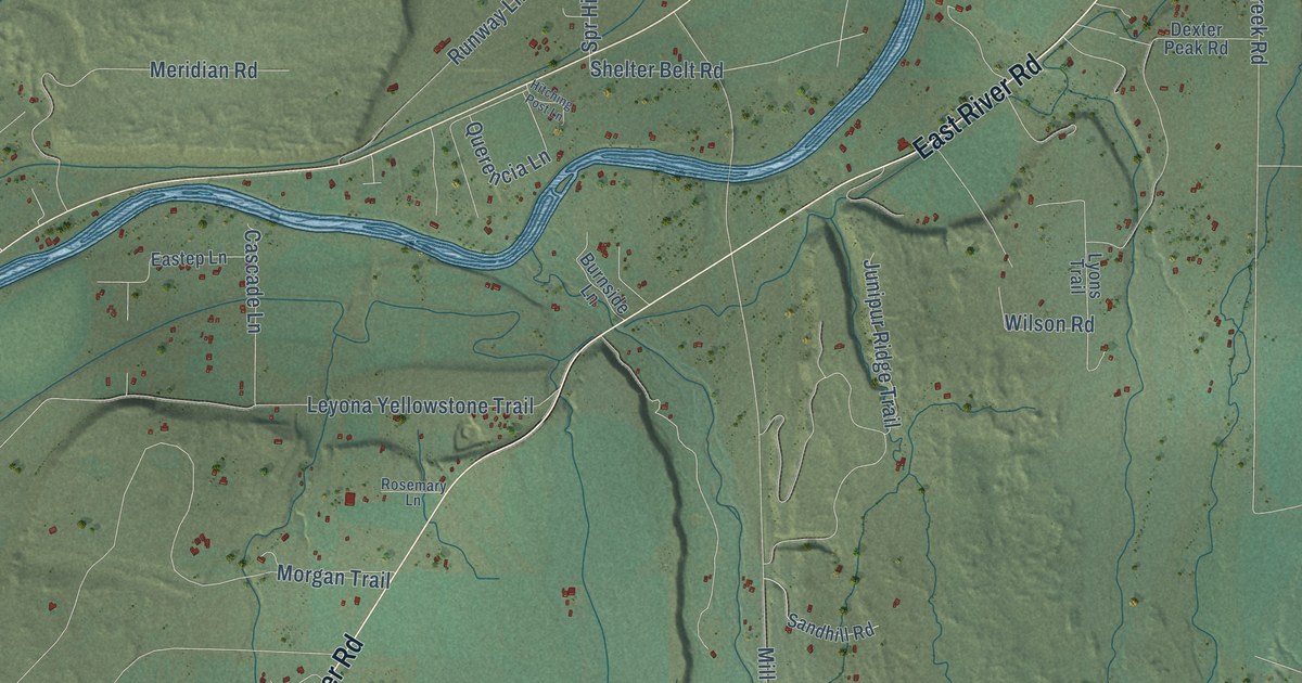
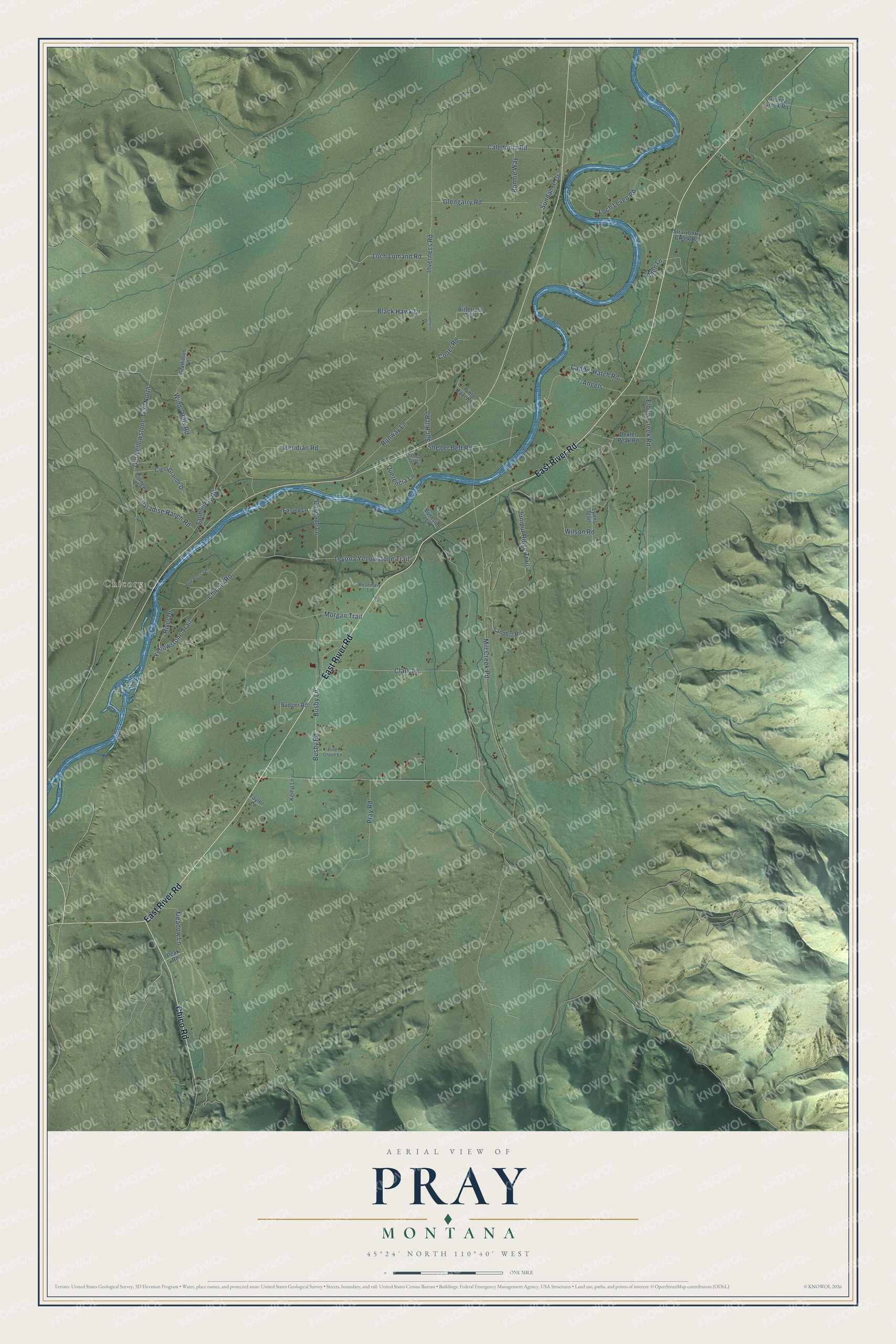
This beautifully detailed map of Pray, Montana was created in 2026 using aerial imagery combined with modern topographical, census, street and landmark data. It's a modern aerial view of Pray in Park County, Montana, that combines modern data with a vintage aesthetic. The roads feature printed names, and if you look closely you can find your exact house accurately shown in its correct location.
Explore an aerial view of Pray, Montana
On this map you'll find Chicory, East River Road, Chico Road, Pray Road, Busby Road, Querencia Lane, Shelter Belt Road, Inverness Road, Caledonia Road, Chicory Road, Leyona Yellowstone Trail, Morgan Trail, and more. Each red shape is a building, so zoom in on the preview and look for yours.
Every town has a first chapter, and Pray is no exception. Pray's post office was named for Charles N. Pray, an early U.S. Representative who later became a district judge. The little town had just two buildings, a saloon and a store, and for a long time the saloon's roof sign, easy to see from the highway and the heavens, read Pray, Eat, Drink. That's from the Yellowstone Conference Methodist history.
Pray is a community in Park County. The Census Bureau counted 790 people here in 2020.
Take a closer look at the Pray map
Names on this map
These names are printed on this map.
Places: Chicory.
Streets and roads: East River Road, Chico Road, Pray Road, Busby Road, Querencia Lane, Shelter Belt Road, Inverness Road, Caledonia Road, Chicory Road, Leyona Yellowstone Trail, Morgan Trail, Mill Creek Road.
More street names, A to Z
7-Angels, Allen Lane, Appalossa Circle, Badger Road, Bitterroot Trail, Black Hawk Drive, Bonnie Way, Burnside Lane, Busby Lane, Caddis Hatch Road, Cascade Lane, Cielo Grande Drive, Clark Lane, Colter Road, Dexter Peak Road, Eastep Lane, Elbow Creek Road, George Creek Road, Gladiolus Lane, Glengarry Road, Hitching Post Lane, Inverness Drive, Junipur Ridge Trail, Kemp Lane, Loch Leven Road, Loch Lomand Road, Lyons Trail, Meadow Lane, Meridian Road, Old Yellowstone Trail North, Paradise Ranch Road, Peak Road, Pine Grove Lane, Pinto Ranch Lane, Pioneer Lane, River Drive, Rosemary Lane, Runway Lane, Salmon Fly Road, Sandhill Road, Spr Hill Road, Strawberry Creek Road, Sundance Drive, Taylor Lane, Wilson Road, Windy Hills Road, Yellowstone Trail.
See it on a wall
The Pray map as a framed print. Swipe for more.


Created by KNOWOL in 2026. The buildings are small red shapes, the roads carry their printed names, and shaded relief shows the shape of the land. The title panel reads "AERIAL VIEW OF PRAY, MONTANA" with 45°24' NORTH 110°40' WEST.
Hang it in the hallway, the office or the cabin, or give it to someone who left Pray and still calls it home. Open the preview and look for a street you know. See sizes and frames for the Pray map.