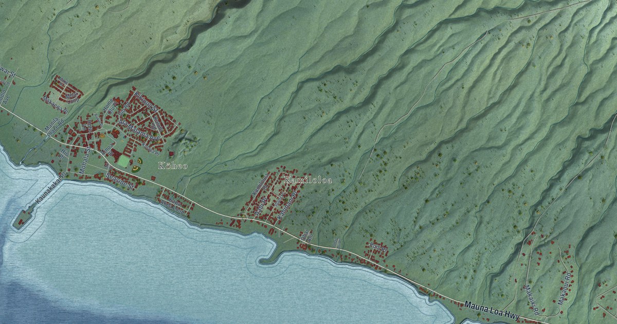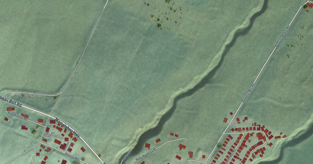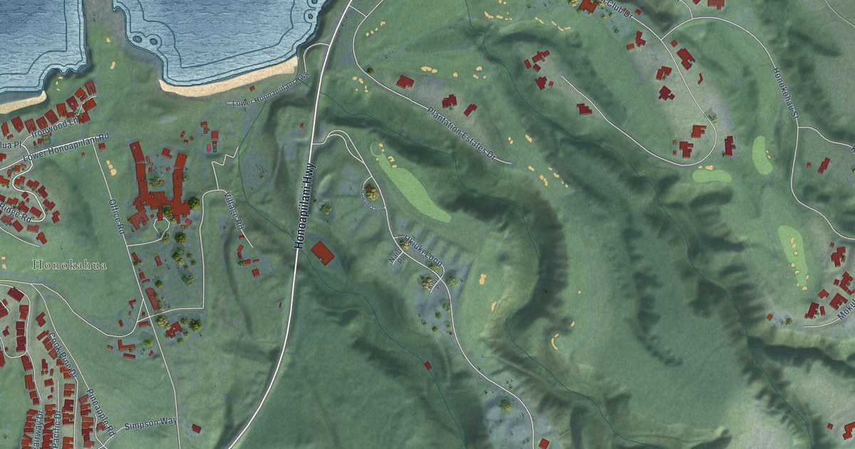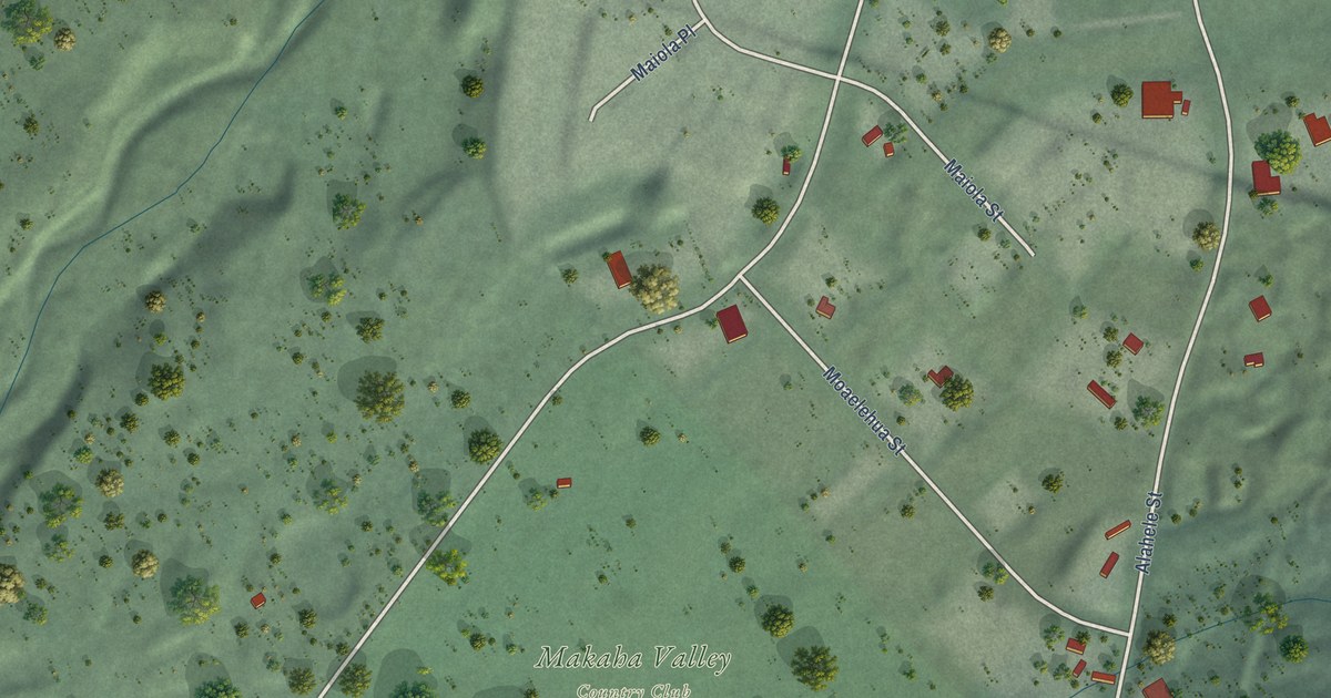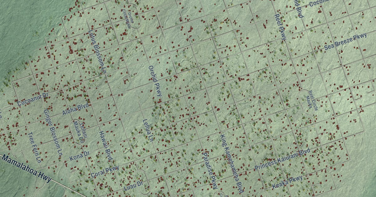
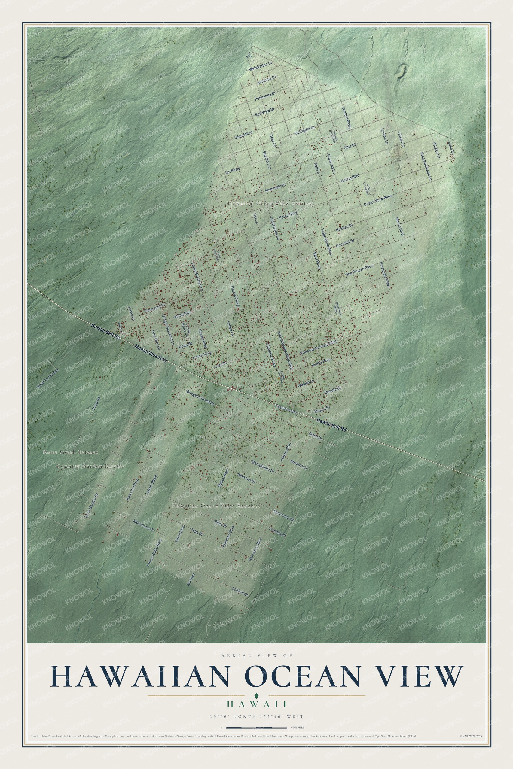
This beautifully detailed map of Hawaiian Ocean View, Hawaii was created in 2026 using aerial imagery combined with modern topographical, census, street and landmark data. It’s a one-of-a-kind view of Hawaiian Ocean View that combines accurate data with a vintage aesthetic. The map shows every building in its true location, many of the roads carry their names, and the shaded topographic relief shows the shape of the land.
Explore an aerial view of Hawaiian Ocean View, Hawaii
On the map you’ll find Kona South Estates, Hawaiian Ocean View Ranchos, Country Garden Estates, and Hawaiian Ocean View Estates, along with Hawaii Belt Road, Mamalahoa Highway, Reef Parkway, Pineapple Parkway, Koa Lane, Kona Garden Drive, Lei Parkway, Lotus Blossom Lane, and more. If you look closely you can even find your house accurately drawn in its correct location. Zoom in on the preview to look for yours.
Did You Know?
The state legislature found that ambulance delays in Hawaiian Ocean View Estates could last up to two hours when the Kau ambulance, based in Naalehu, was already on a call. Residents secured a charitable foundation grant to pay for an ambulance of their own, and the state paid to staff it. That's from the Hawaii State Legislature.
Take a closer look at the Hawaiian Ocean View map
Names on this map
These names are printed on this map.
Places: Kona South Estates, Hawaiian Ocean View Ranchos, Country Garden Estates and Hawaiian Ocean View Estates.
Streets and roads: Hawaii Belt Road, Mamalahoa Highway, Reef Parkway, Pineapple Parkway, Koa Lane, Kona Garden Drive, Lei Parkway, Lotus Blossom Lane, Catamaran Lane, Easement Road, Cocoanut Drive, Iwalani Parkway.
More street names, A to Z
Alaoli Drive, Alii Boulevard, Aloha Boulevard, Anuenue Drive, Bamboo Lane, Bougainvillaea Drive, Coconut Drive, Coral Parkway, Donola Drive, Ginger Blossom Lane, Hawaii Boulevard, Hibiscus Drive, Hokulani Boulevard, Hukilau Drive, Hula Lane, Iolani Lane, Island Boulevard, Iwalani Circle Makai, Jacaranda Drive, Jasmine Drive, Kahili Boulevard, Kailua Boulevard, Kamaaina Boulevard, Keaka Parkway, King Kalakaua Lane, King Kamehameha Boulevard, Kohala Boulevard, Kona Drive, Kona Kai Boulevard, Lanikai Drive, Lauhala Drive, Lehua Lane, Leilani Mauka Circle, Leilani Parkway, Liliana Lane, Lono Lane, Luau Drive, Lurline Lane, Macadamia Drive, Mahimahi Drive, Maikai Boulevard, Maile Drive, Marlin Boulevard, Menehune Drive, Moana Drive, Ocean View Parkway, Ohia Drive, Orchid Circle Makai, Orchid Parkway, Outrigger Drive, Palm Parkway, Paradise Circle Mauka, Paradise Parkway, Pikake Lane, Pineapple Circle Makai, Plumeria Lane, Poha Drive, Poinciana Drive, Prince Kuhio Boulevard, Princess Kaiulani Boulevard, Pueo Road, Reef Circle, Reef Circle Mauka, Road To the Sea, Sea Breeze Parkway, Sea View Drive, Tapa Drive, Tiki Lane, Trade Wind Boulevard, Tree Fern Lane, Walaka Drive, Welakaltao Drive.
See it on a wall
The Hawaiian Ocean View map as a framed print. Swipe for more.


This beautifully detailed map of Hawaiian Ocean View makes an attractive addition to your office, library, or den, and it can even be used to teach children the geography and history of the area. It also makes a great gift for someone who left Hawaiian Ocean View and still calls it home. When you’re done exploring, click here to get your copy of the Hawaiian Ocean View map.