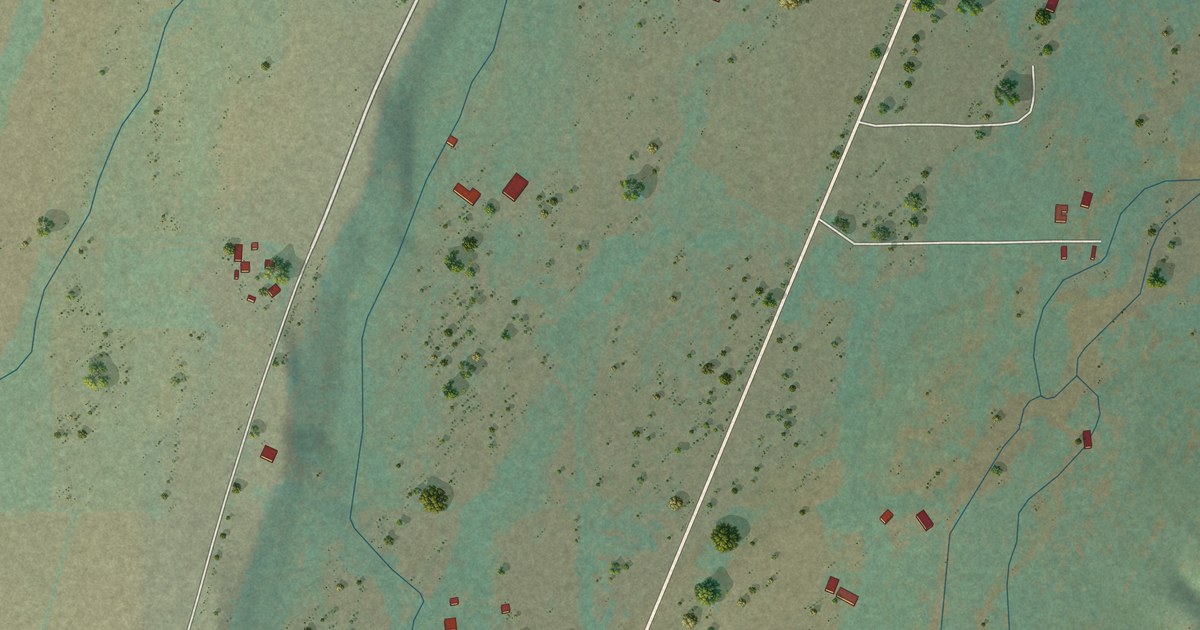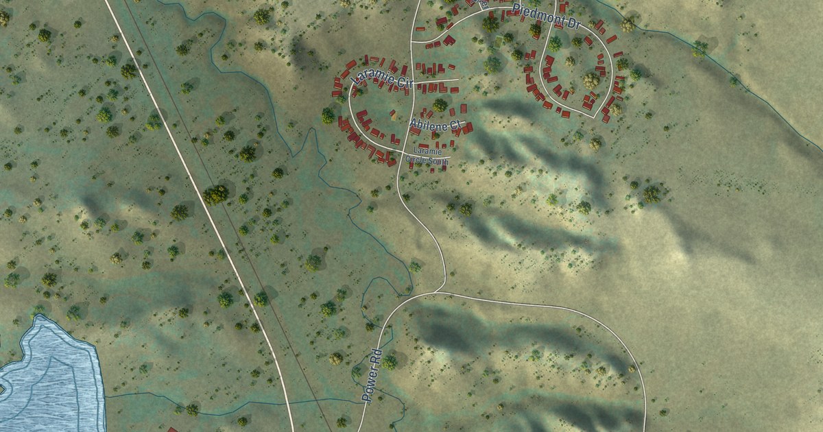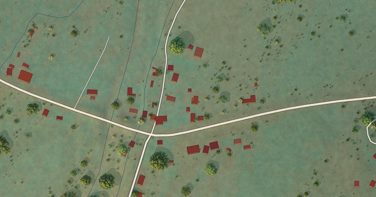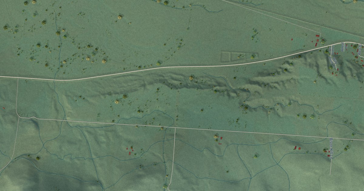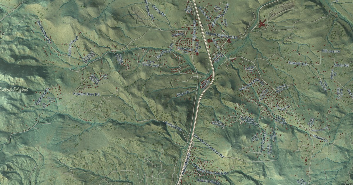
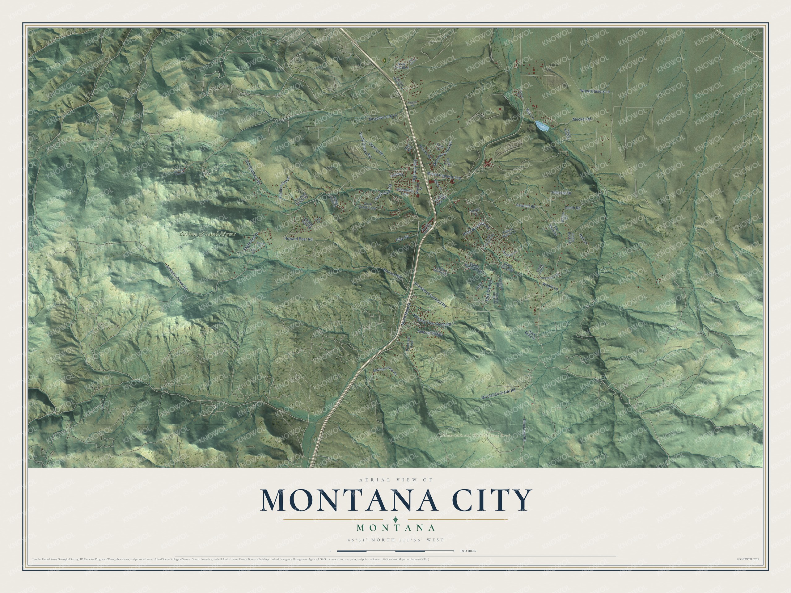
This beautifully detailed map of Montana City, Montana was created in 2026 using aerial imagery combined with modern topographical, census, street and landmark data. It’s a one-of-a-kind view of Montana City that combines accurate data with a vintage aesthetic. The map shows every building in its true location, many of the roads carry their names, and the shaded topographic relief shows the shape of the land.
Explore an aerial view of Montana City, Montana
On the map you’ll find Bureau of Land Mgmt and Helena-Lewis and Clark National Forest, along with McClellan Creek Road, Mount Highway 518, Ruby Mountain Road, Highway 282, Jackson Creek Road, Pinecrest Road, Strawberry Lookout Road, Mockel Road, Wood Haulers Lane, Microwave Hill Road, and more. If you look closely you can even find your house accurately drawn in its correct location. Zoom in on the preview to look for yours.
Did You Know?
Montana City was laid out by the Montana Town Company in October 1864 and named in honor of the brand-new territory. Gold prospectors had first come to the Prickly Pear Valley in the summer of 1862, and when the placer mines grew less profitable by 1868, Chinese miners moved in to rework the claims. For thousands of years before that, Native Americans quarried chert in the valley for arrowheads and spear points. That's from the Montana Historical Society.
Take a closer look at the Montana City map
Names on this map
These names are printed on this map.
Places: Bureau of Land Mgmt and Helena-Lewis and Clark National Forest.
Streets and roads: McClellan Creek Road, Mount Highway 518, Ruby Mountain Road, Highway 282, Jackson Creek Road, Pinecrest Road, Strawberry Lookout Road, Mockel Road, Wood Haulers Lane, Microwave Hill Road, Sawmill Road, Hill Brothers Road.
More street names, A to Z
Ambush Ridge, Big Dipper Drive, Big Indian Gulch Road, Bridle Bit Loop, Brow Tine Boulevard, Buffalo Run, Bull Elk Road, Cairn Lane, Clark Creek Loop, Country Meadow Lane, Deer Run, Dove Lane, Eagle Rock Drive, Eagleview Drive, Elk Drive, Elk Meadow, Faith Lane, Fiddlers Green, Flintlock Road, Grassy Mountain Road, Hall Lane, Hanging Tree Gulch Road, Hanson Road, Hillcrest Drive, Hilltop Drive, Howard Beer Road, Johns Street, Lana Lane, Lost Trail Lane, Market Street, Meadow Lark Lane, Mergenthaler Road, Moose Drive, Mountain View Road, North Main Street, Palmer Ranch Lane, Picayune Creek Road, Pika Road, Pinecrest Loop, Prickly Pear Road, Quarry Road, Ridge View Drive, Rock Butte Drive, Saddle Mountain Drive, Saddle Mountain Road, Sandy Lane, Shadow Ridge Road, Sidewinder Loop, Smith Road, South Quarry Road, South View Road, Star Lane, Stoney Brook Drive, Sunset View Drive, Thunder Ridge Road, Wagon Wheel Road, Wallace Road, Wapiti Lane, Willow Road, Wonder Road.
See it on a wall
The Montana City map as a framed print. Swipe for more.


This beautifully detailed map of Montana City makes an attractive addition to your office, library, or den, and it can even be used to teach children the geography and history of the area. It also makes a great gift for anyone with Montana City roots. When you’re done exploring, click here to get your copy of the Montana City map.