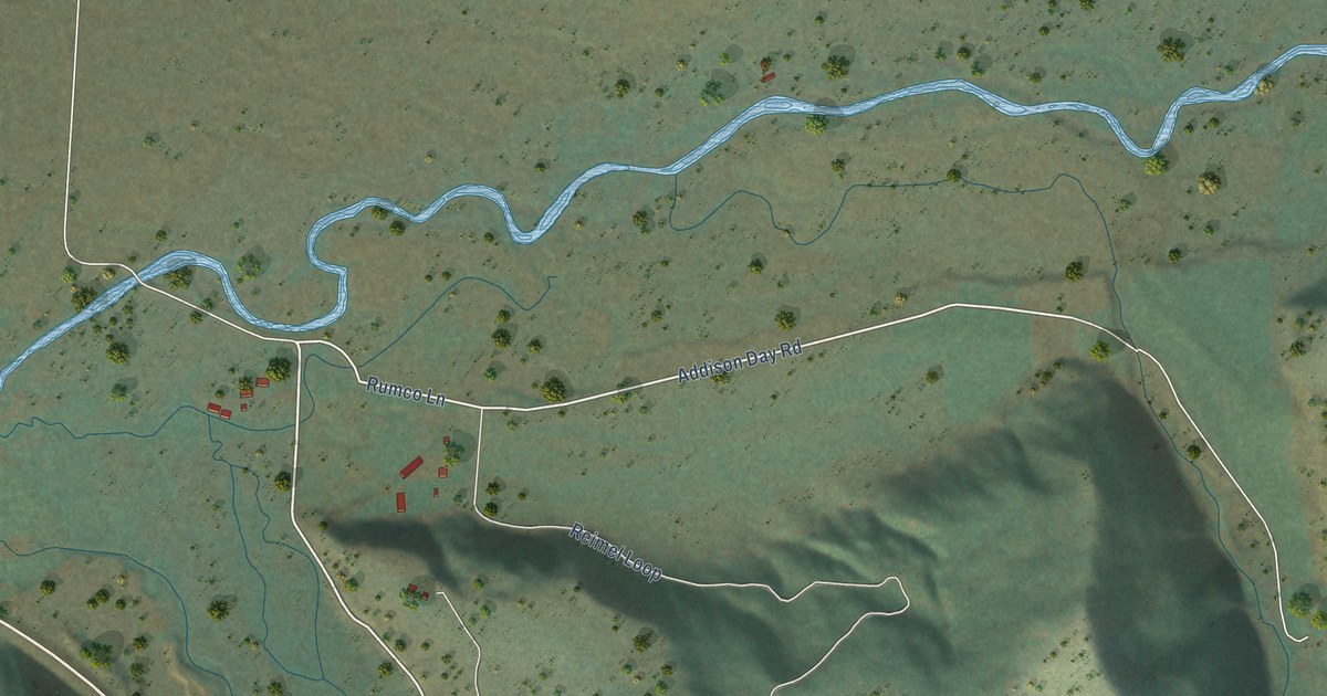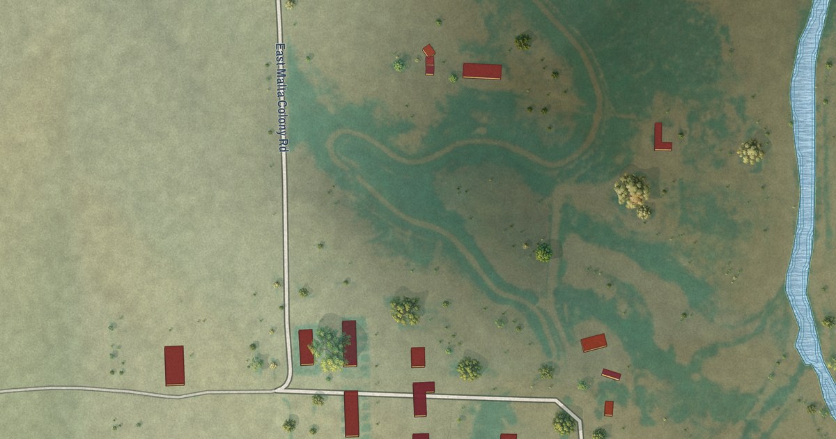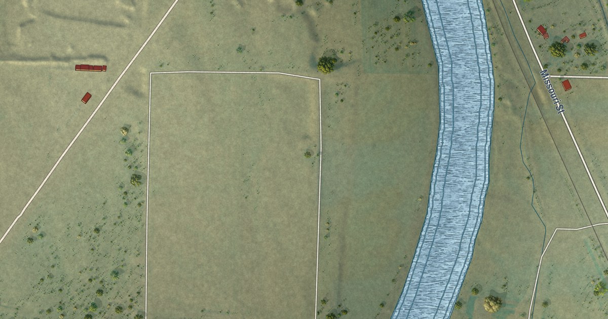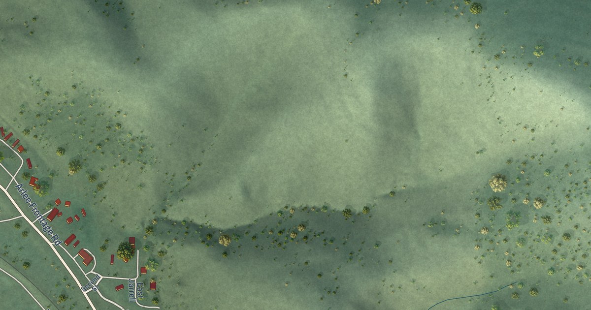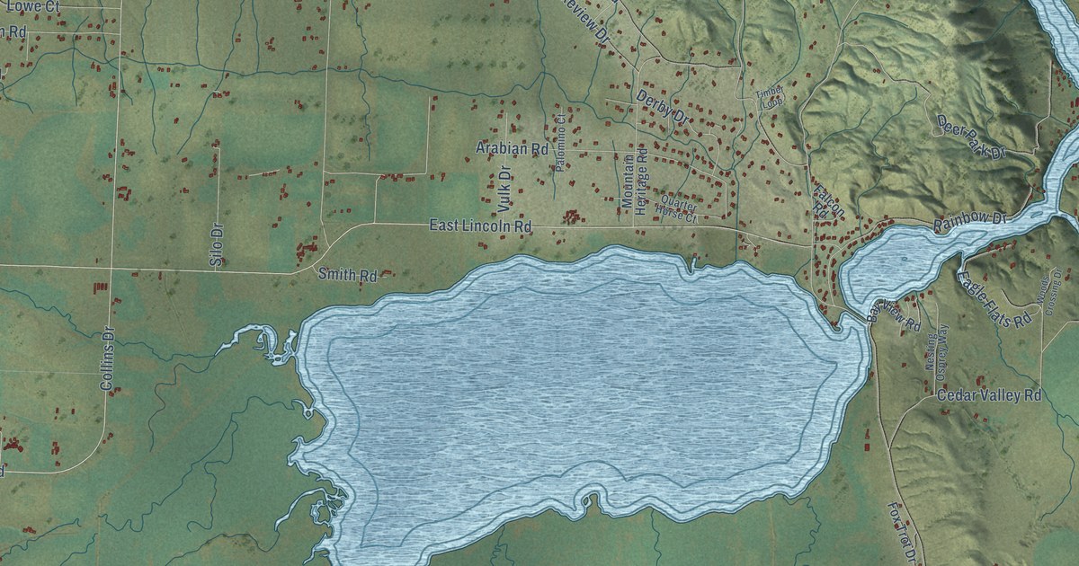
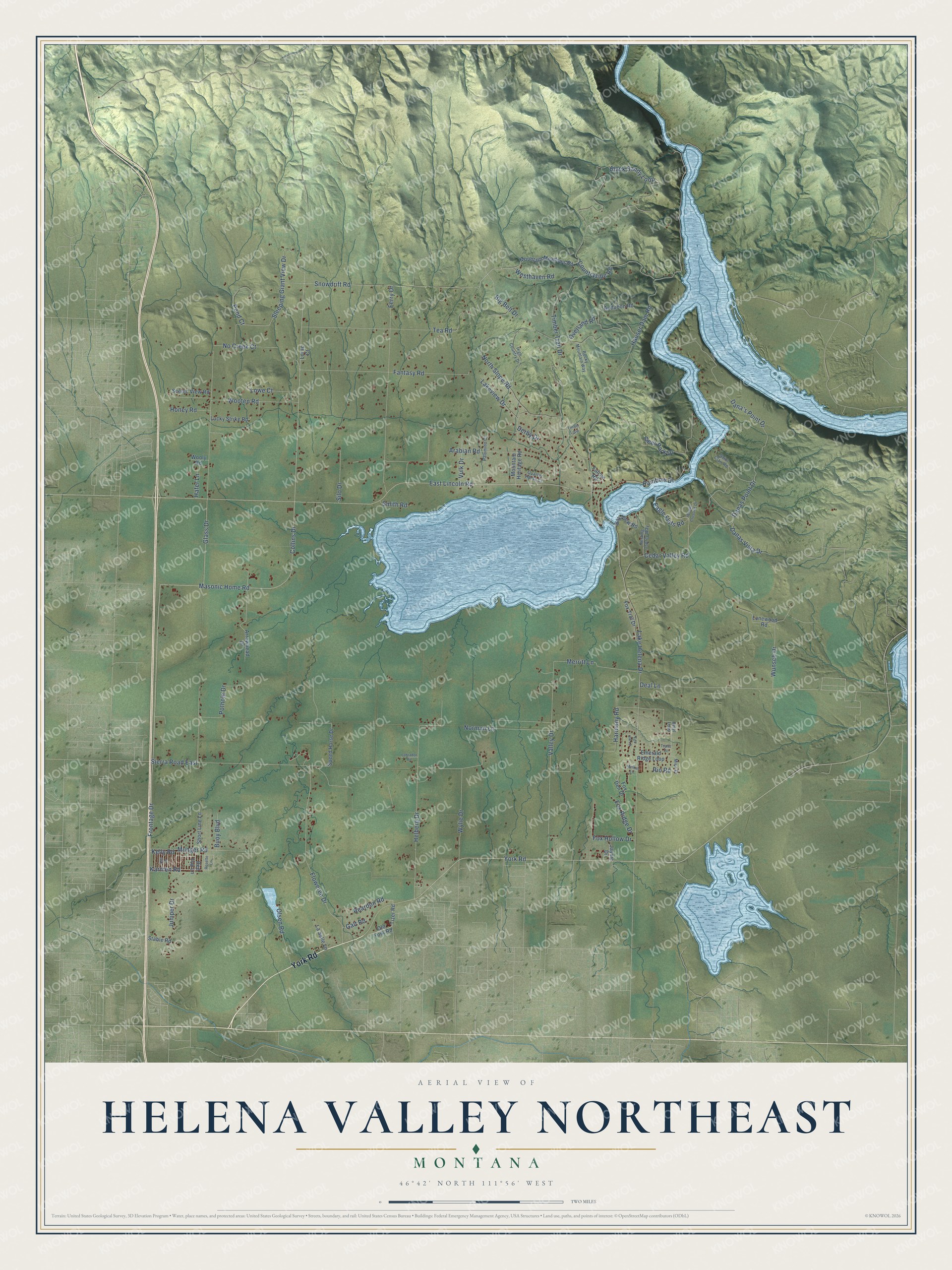
This beautifully detailed map of Helena Valley Northeast, Montana was created in 2026 using aerial imagery combined with modern topographical, census, street and landmark data. It's a modern aerial view of Helena Valley Northeast in Lewis and Clark County, Montana, that combines modern data with a vintage aesthetic. The roads feature printed names, and if you look closely you can find your exact house accurately shown in its correct location.
Explore an aerial view of Helena Valley Northeast, Montana
On this map you'll find York Road, Frontage Drive, Masonic Home Road, Collins Drive, Reardon Road, East Lincoln Road, Hauser Dam Road, Lake Helena Drive, Black Sandy Loop, Glass Drive, Timber Trail Drive, Helberg Drive, and more. Each red shape is a building, so zoom in on the preview and look for yours.
Helena Valley Northeast has a story worth telling. The Silver Creek School, known as the Little Red School House, was built in 1888 in the rural Helena Valley, three miles north of Helena. For the farm families around it, it was school, meeting hall, dance hall and picnic grounds all in one. In 1980 a group called Little Red School House, Inc. prepared its National Register nomination, hoping to restore the building. That's from the National Register of Historic Places.
Helena Valley Northeast is a community in Lewis and Clark County. The Census Bureau counted 3,813 people here in 2020.
Take a closer look at the Helena Valley Northeast map
Names on this map
These names are printed on this map.
Streets and roads: York Road, Frontage Drive, Masonic Home Road, Collins Drive, Reardon Road, East Lincoln Road, Hauser Dam Road, Lake Helena Drive, Black Sandy Loop, Glass Drive, Timber Trail Drive, Helberg Drive.
More street names, A to Z
Arabian Road, Arrowhead Drive, Audubon Road, Bay View Road, Beryl Loop, Big Belt Drive, Buoy Boulevard, Cedar Valley Road, Countryside Road, Dana's Point Drive, Danas Point Drive, Danas Vista Drive, Deal Lane, Deer Park Drive, Derby Drive, Eagle Flats Road, Emerald Ridge Loop, Falcon Road, Fantasy Road, Ferry Drive, Floweree Drive, Fox Den Drive, Fox Hollow Drive, Fox Ridge Drive, Fox Trot Drive, Fox Vw Lp, Galt Road, Hafer Lane, Harmony Road, High Country Drive, Honey Road, Jaynic Drive, Juniper Drive, Karmen Road, Kelly Road, Kitt Drive, Labrador Road, Lakeview Drive, La Salle Lane, Lonewood Road, Lorac Court, Lowe Court, Lucky Strike Road, Melkat Lane, Merritt Lane, Mica Drive, Mountain Heritage Road, Mountain Meadows Road, Munger Road, Nesting Osprey Way, No Creek Court, Norman Lane, North Slope Road, Old York Road, Olsen Road, Overland Road, Palomino Court, Pond Court, Pothole Drive, Quarter Horse Court, Rainbow Drive, Red Top Lane, Rio Road, Rocky Mountain Way, Rosette Lane, Saint Clair Road, Scenic View Road, Short Line Lane, Sierra Road East, Silo Drive, Sleeping Giant View Drive, Smith Road, Snowdrift Road, Speed Horse Drive, Stable Road, Tea Road, Timber Loop, Tizer Road, Topaz Court, Valley Drive, Vulk Drive, Westhaven Road, Woods Crossing Drive, Wooly Road, Wooten Road, Wunsch Drive, Wylie Drive.
See it on a wall
The Helena Valley Northeast map as a framed print. Swipe for more.


Created by KNOWOL in 2026. The buildings are small red shapes, the roads carry their printed names, and shaded relief shows the shape of the land. The title panel reads "AERIAL VIEW OF HELENA VALLEY NORTHEAST, MONTANA" with 46°42' NORTH 111°56' WEST.
It looks right in a kitchen, an office or a den, and it's a gift for anyone who grew up in Helena Valley Northeast or moved away. Open the preview and find your street. See sizes and frames for the Helena Valley Northeast map.