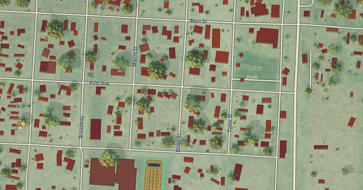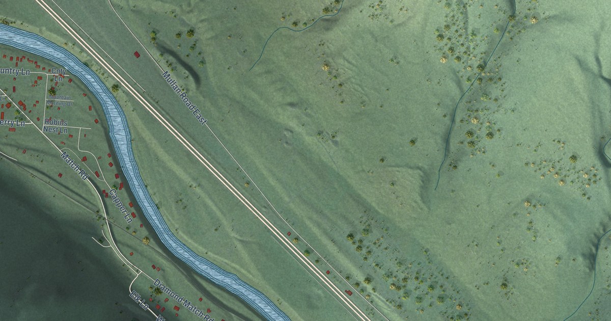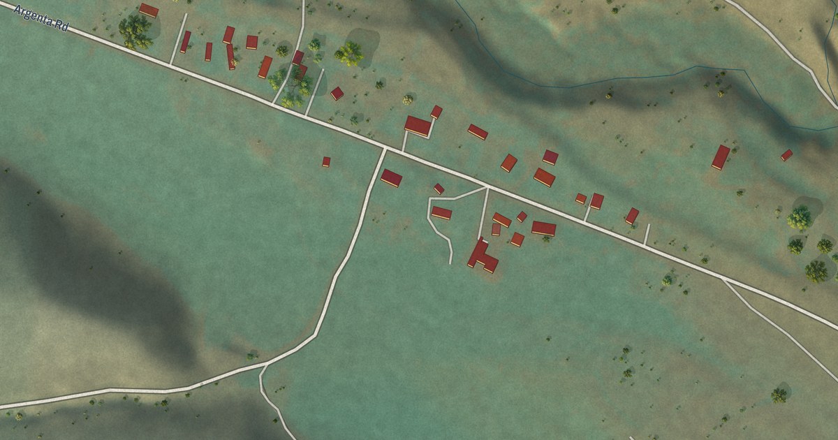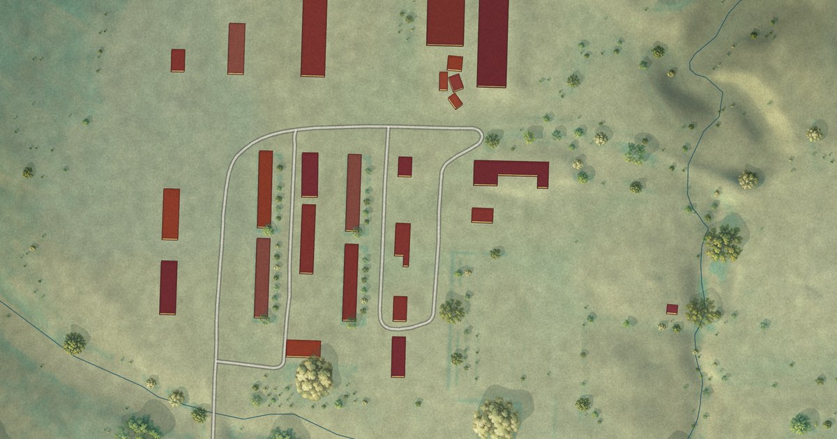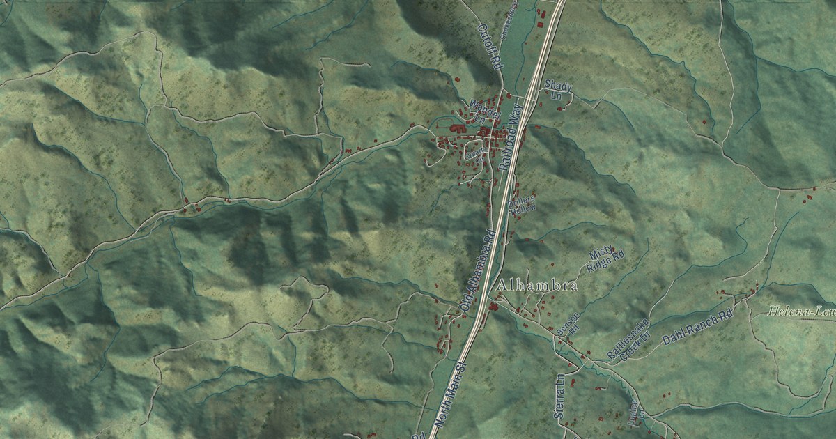
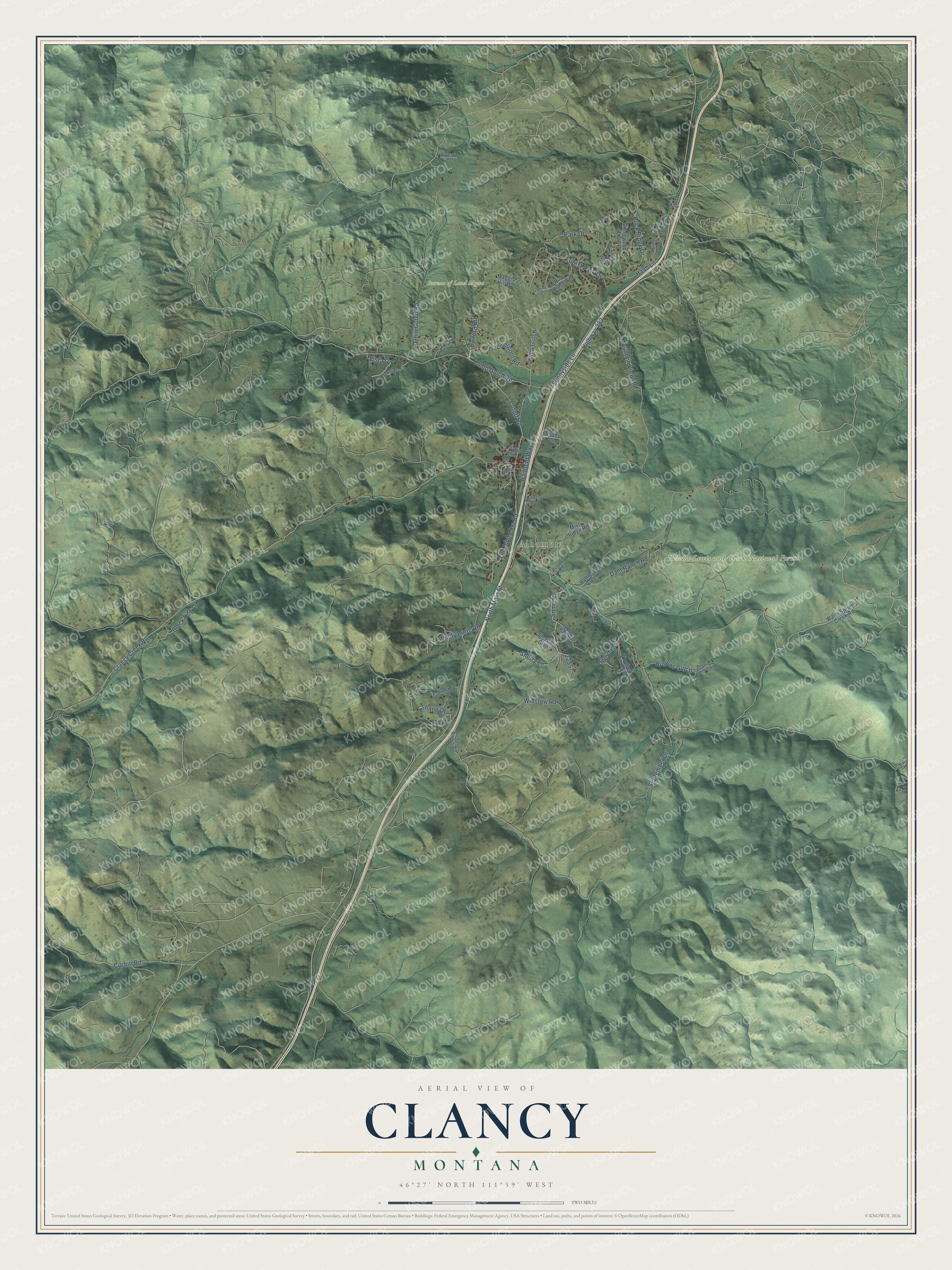
This beautifully detailed map of Clancy, Montana was created in 2026 using aerial imagery combined with modern topographical, census, street and landmark data. It’s a one-of-a-kind view of Clancy that combines accurate data with a vintage aesthetic. The map shows every building in its true location, many of the roads carry their names, and the shaded topographic relief shows the shape of the land.
Explore an aerial view of Clancy, Montana
On the map you’ll find Alhambra, Bureau of Land Mgmt, and Helena-Lewis and Clark National Forest, along with North Main Street, Old Alhambra Road, Highway 282, Clancy Creek Road, Lump Gulch Road, Sierra Lane, Winslow Road, Sherry Lane, Forest Park Drive, and more. If you look closely you can even find your house accurately drawn in its correct location. Zoom in on the preview to look for yours.
Did You Know?
Clancy began in 1873 as a gold camp along Clancy Creek and was named for prospector William Clancey. In 1879 resident Henry Hill helped establish Montana's first woolen mill near Clancy. When the placer gold played out, Hill would not let the town die, and the railroad yard he sold to the Montana Central Railway in 1896 brought shops, a depot and a roundhouse. A winter fire in 1902 destroyed most of the town's buildings. That's from the Montana Historical Society.
Take a closer look at the Clancy map
Names on this map
These names are printed on this map.
Places: Alhambra, Bureau of Land Mgmt and Helena-Lewis and Clark National Forest.
Streets and roads: North Main Street, Old Alhambra Road, Highway 282, Clancy Creek Road, Lump Gulch Road, Sierra Lane, Winslow Road, Sherry Lane, Forest Park Drive, Haab Lane, Corbin Road, September Drive.
More street names, A to Z
Alpine Valley Lane, Ante Lane, Benson Road, Black Dog Lane, Browns Gulch, Browns Gulch Road, Chokecherry Lane, Cutoff Road, Dahl Ranch Road, Drillers Hollow, Ford Lane, Forrest Drive, Greenwood Trail, Halford Road, Juniper Lane, Leaning Tree Lane, Liverpool Road, Lump Gulch, Lupine Lane, Maggie Hill Road, Misty Ridge Road, Mountain View Road, Ohio Gulch Road, Park Drive, Pine Ridge Circle, Ponderosa Ranch Road, Quartz Circle, Railroad Way, Rattlesnake Creek Drive, Rock Ridge Drive, Rocky Mountain Drive, Rolling Stone Lane, Shady Lane, Shane Drive, Silvertip Place, Sleeping Giant, Sleepy Hollow Lane, Spruce Street, Sunnyside Lane, Vista Drive, Warm Springs Creek Road, Wendel Lane, Whitetail Lane, Windy Butte Road, Woodland Park Loop.
See it on a wall
The Clancy map as a framed print. Swipe for more.


This beautifully detailed map of Clancy makes an attractive addition to your office, library, or den, and it can even be used to teach children the geography and history of the area. It also makes a great gift for anyone who grew up in Clancy or moved away. When you’re done exploring, click here to get your copy of the Clancy map.