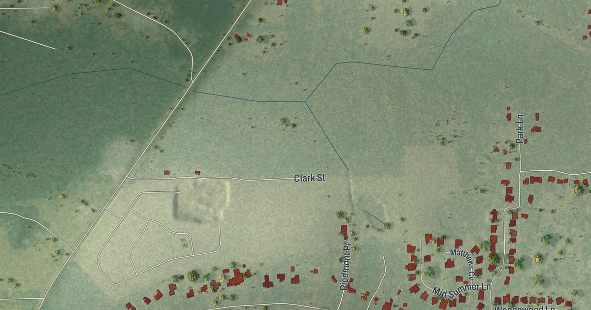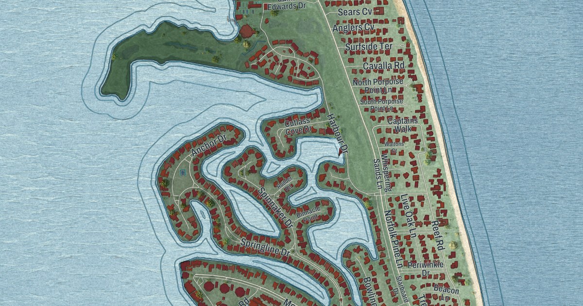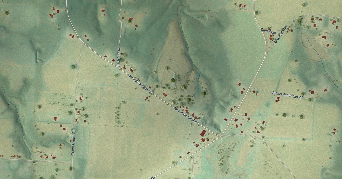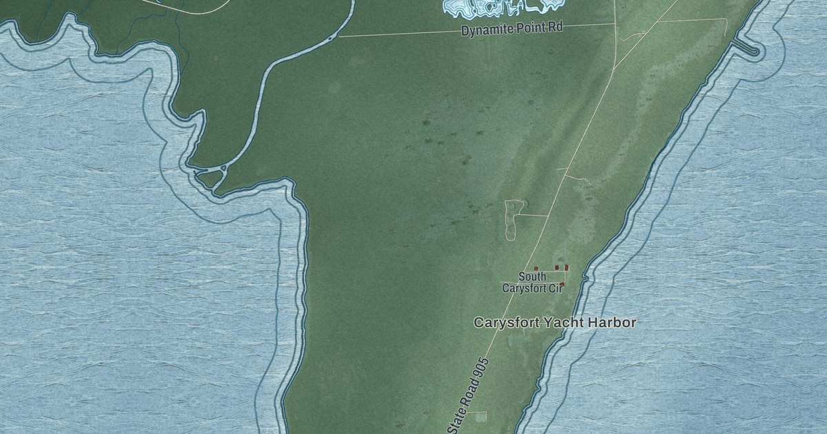
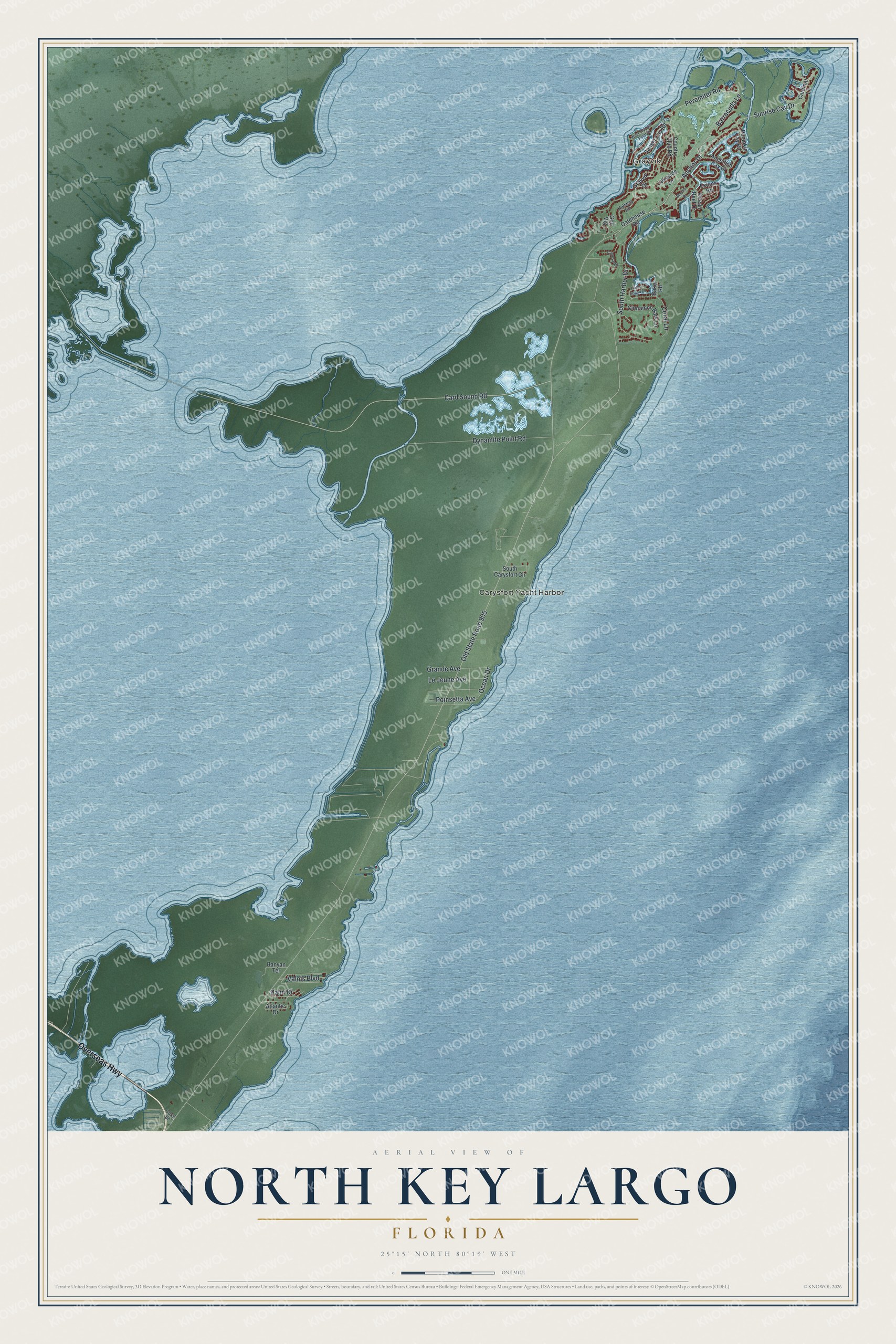
This beautifully detailed map of North Key Largo, Florida was created in 2026 using aerial imagery combined with modern topographical, census, street and landmark data. It's a modern aerial view of North Key Largo in Monroe County, Florida, that combines modern data with a vintage aesthetic. The roads feature printed names, and if you look closely you can find your exact house accurately shown in its correct location.
Explore an aerial view of North Key Largo, Florida
On this map you'll find Grayvik, Carysfort Yacht Harbor, Overseas Highway, Peremiter Road, Anchor Drive, Barracuda Lane, Sunrise Cay Drive, Old State Road 905, Card Sound Road, Dynamite Point Road, South Harbor Drive, Ocean Drive, and more. Each red shape is a building, so zoom in on the preview and look for yours.
Here is a piece of North Key Largo history. Through the 1970s, 80s and 90s, local environmental activist Dagny Johnson led the Upper Keys Citizens Association and other groups that fought the development planned for much of north Key Largo. The state park created on the northern third of the island in 1982 was later named for her. The activists also wanted to protect the coral reefs offshore. The park holds the largest remaining tracts of West Indian hardwood hammock in the continental United States, with more than 80 kinds of trees. That's from the Florida State Parks guide.
North Key Largo is a community in Monroe County. The Census Bureau counted 1,431 people here in 2020.
Take a closer look at the North Key Largo map
Names on this map
These names are printed on this map.
Places: Grayvik and Carysfort Yacht Harbor.
Streets and roads: Overseas Highway, Peremiter Road, Anchor Drive, Barracuda Lane, Sunrise Cay Drive, Old State Road 905, Card Sound Road, Dynamite Point Road, South Harbor Drive, Ocean Drive, Grande Avenue, Le Jeune Avenue.
More street names, A to Z
Angelfish Cay Drive, Atlantic Drive, Baker Road, Banyan Terrace, Caloosa Road, Cardinal Lane, Cinnamon Bark Lane, Coral Drive, Coral Lane, Country Club Road, Exuma Road, Gatehouse Road, Golf Vlg, Grayvik Drive, Halfway Road, Harbor Island Drive, Lakeside Lane, Marina Drive, Ocean Reef Drive, Palm Drive, Poinsetta Avenue, Pumpkin Cay Road, South Carysfort Circle, Sunset Cay Road, Valois Boulevard, West Snapper Point Drive.
See it on a wall
The North Key Largo map as a framed print. Swipe for more.


Created by KNOWOL in 2026. The buildings are small red shapes, the roads carry their printed names, and shaded relief shows the shape of the land. The title panel reads "AERIAL VIEW OF NORTH KEY LARGO, FLORIDA" with 25°15' NORTH 80°19' WEST.
It suits a den, a classroom or a front hall, and it makes a gift for anyone with North Key Largo roots. Open the preview and find the block you know. See sizes and frames for the North Key Largo map.