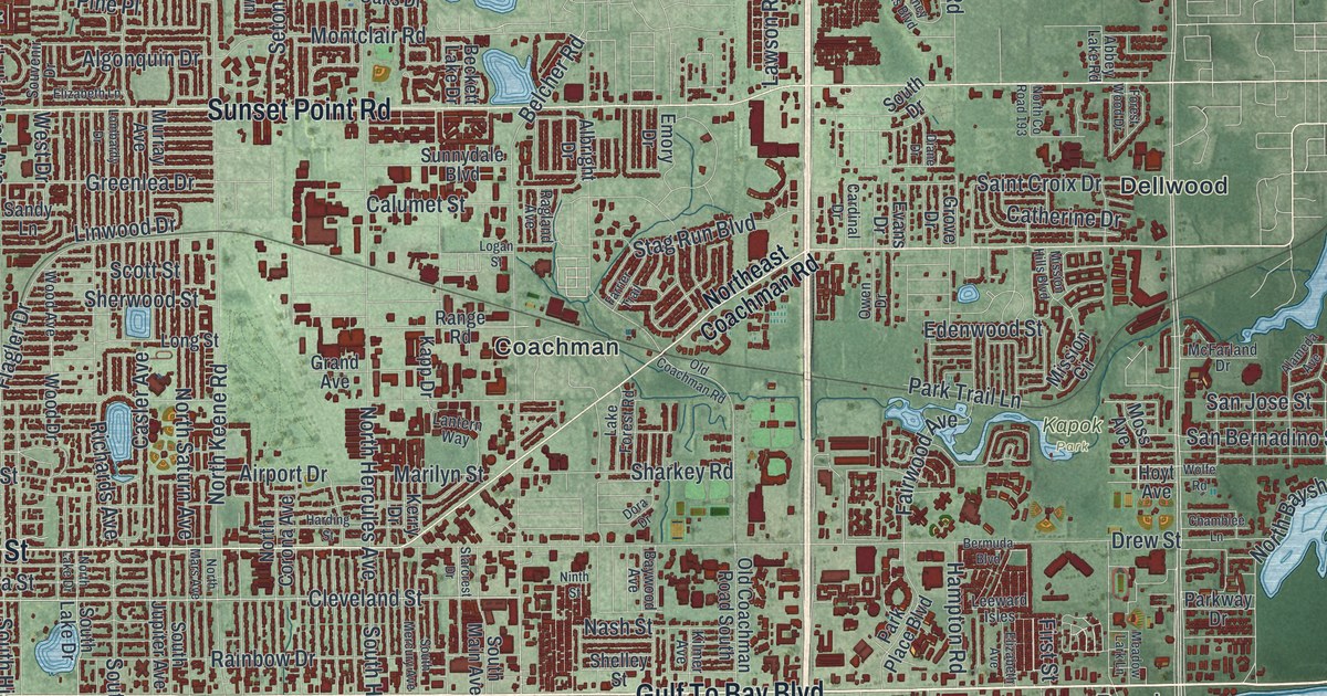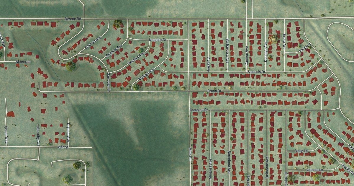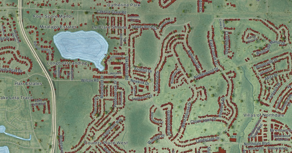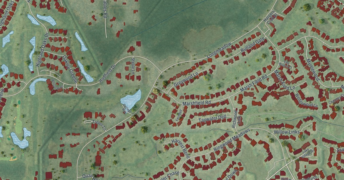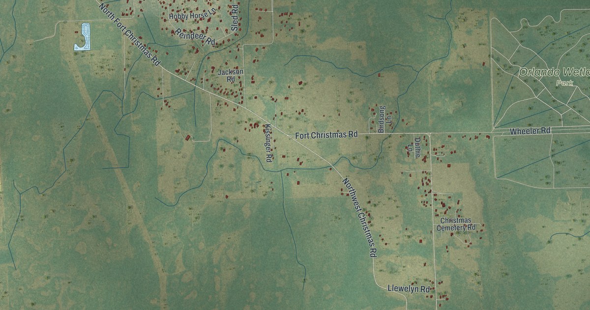
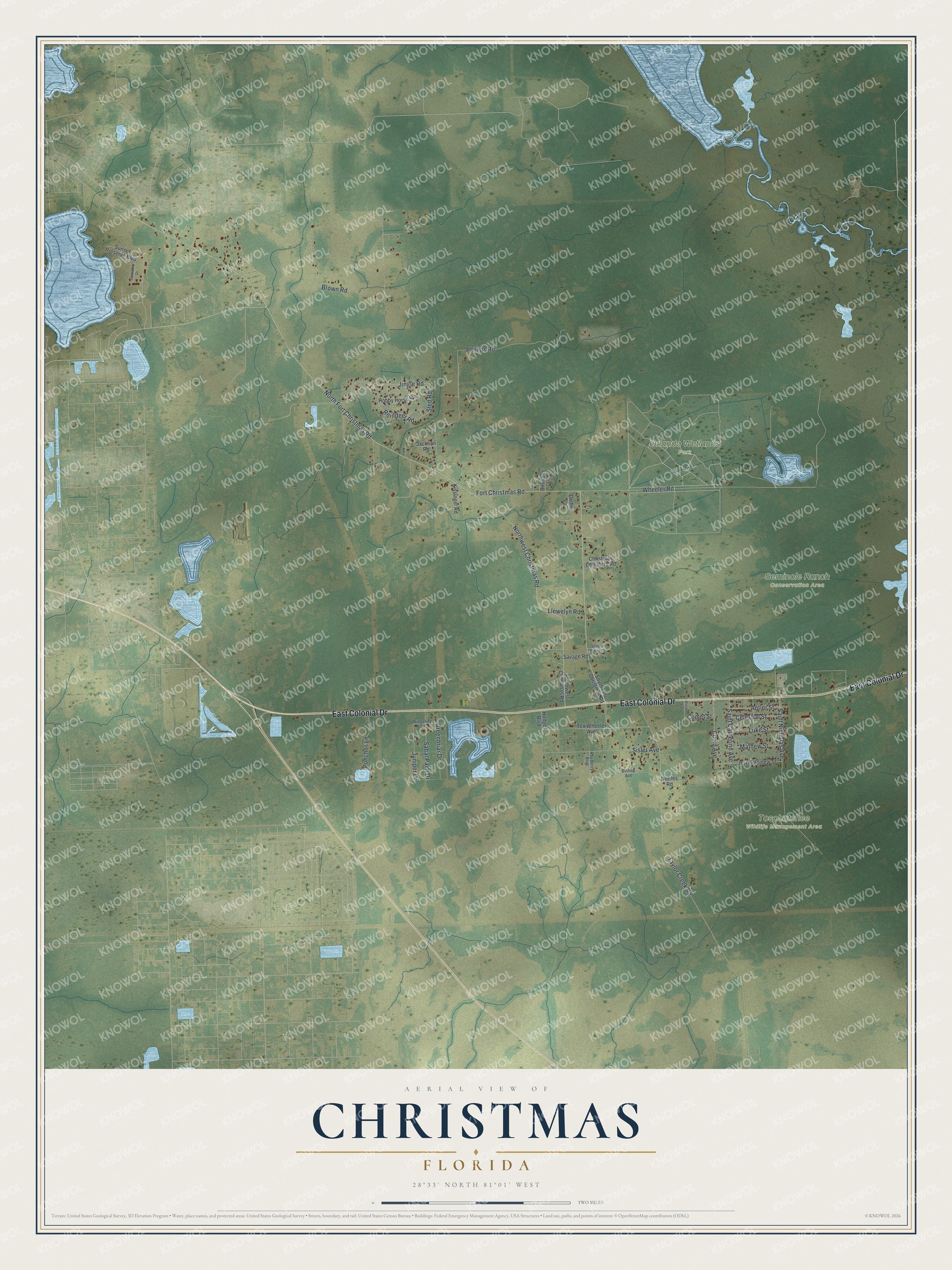
This beautifully detailed map of Christmas, Florida was created in 2026 using aerial imagery combined with modern topographical, census, street and landmark data. It's a modern aerial view of Christmas in Orange County, Florida, that combines modern data with a vintage aesthetic. The roads feature printed names, and if you look closely you can find your exact house accurately shown in its correct location.
Explore an aerial view of Christmas, Florida
On this map you'll find Orlando Wetlands Park, Seminole Ranch Conservation Area, Tosohatchee Wildlife Management Area, East Colonial Drive, Northwest Christmas Road, North Fort Christmas Road, Sled Road, Fort Christmas Road, Phillips Road, Taylor Creek Road, Wheeler Road, Brown Road, and more. Each red shape is a building, so zoom in on the preview and look for yours.
Christmas has a story worth telling. Christmas is named for Fort Christmas. During the Seminole War, General Abraham Eustis marched more than a thousand men to the St. Johns River, arriving on December 25, and ordered a fort built there. Juanita Tucker, made postmistress in 1932, added her own imprint to the postmark: a Christmas tree and the words Glory to God in the Highest. People from all over the country sent holiday cards here to be mailed with it. That's from the book Florida Place Names by Allen Morris.
Christmas is a community in Orange County. The Census Bureau counted 2,439 people here in 2020.
Take a closer look at the Christmas map
Names on this map
These names are printed on this map.
Places: Orlando Wetlands Park, Seminole Ranch Conservation Area and Tosohatchee Wildlife Management Area.
Streets and roads: East Colonial Drive, Northwest Christmas Road, North Fort Christmas Road, Sled Road, Fort Christmas Road, Phillips Road, Taylor Creek Road, Wheeler Road, Brown Road, Saint Nicholas Avenue, Reindeer Road, Sisler Avenue.
More street names, A to Z
Antler Street, Bartholomew Street, Birdsong Lane, Bishop Avenue, Blitzen Avenue, Celestial Street, Christmas Cemetery Road, Comet Street, Cupid Avenue, Cutwater Drive, Duthie Lane, Greenbriar Drive, Hobby Horse Lane, Hodges Boulevard, Jackson Road, Jingle Road, Juniper Drive, Kissinger Road, Llewelyn Road, Luke Street, Mathew Street, Nettles Road, Ponchos Lane, Ridgeline Court, Roy Berry Boulevard, Sabal Palm Drive, Saint Catherine Avenue, Savage Road, Seneca Ridge Court, South Fort Christmas Road, Southwest Christmas Road, Sunset Preserve Boulevard, Tex Wheeler Avenue.
See it on a wall
The Christmas map as a framed print. Swipe for more.


Created by KNOWOL in 2026. The buildings are small red shapes, the roads carry their printed names, and shaded relief shows the shape of the land. The title panel reads "AERIAL VIEW OF CHRISTMAS, FLORIDA" with 28°33' NORTH 81°01' WEST.
It looks right in a kitchen, an office or a den, and it's a gift for anyone who grew up in Christmas or moved away. Open the preview and find your street. See sizes and frames for the Christmas map.