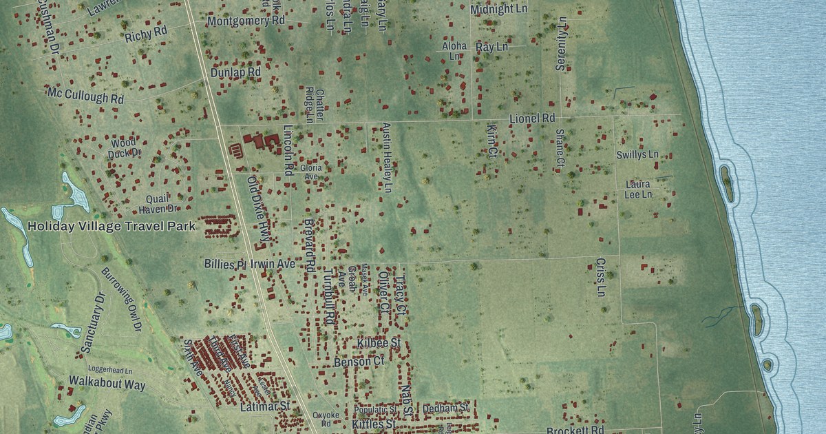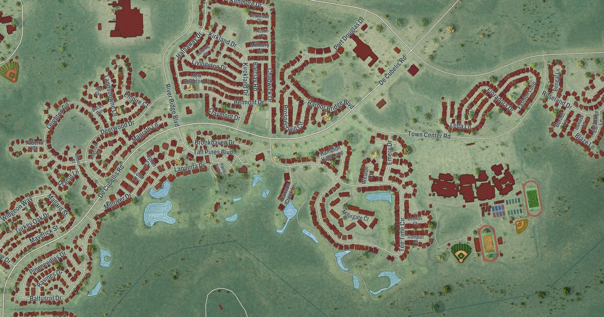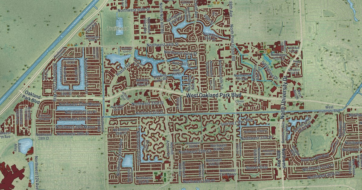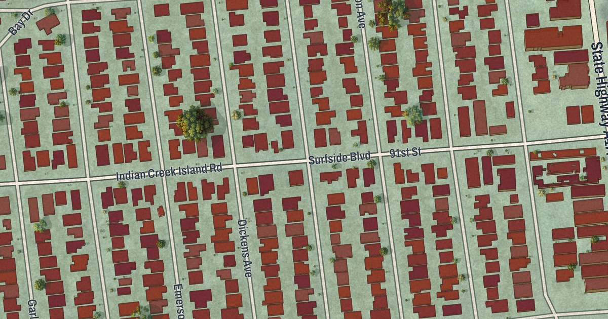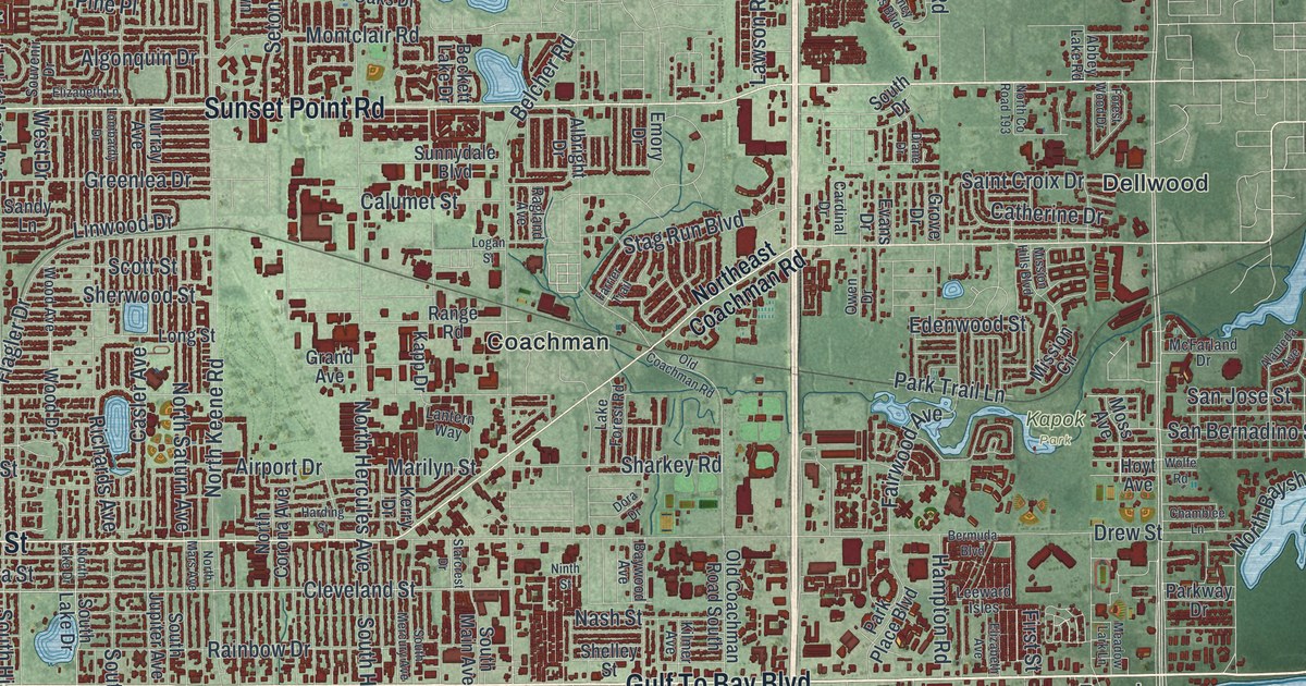
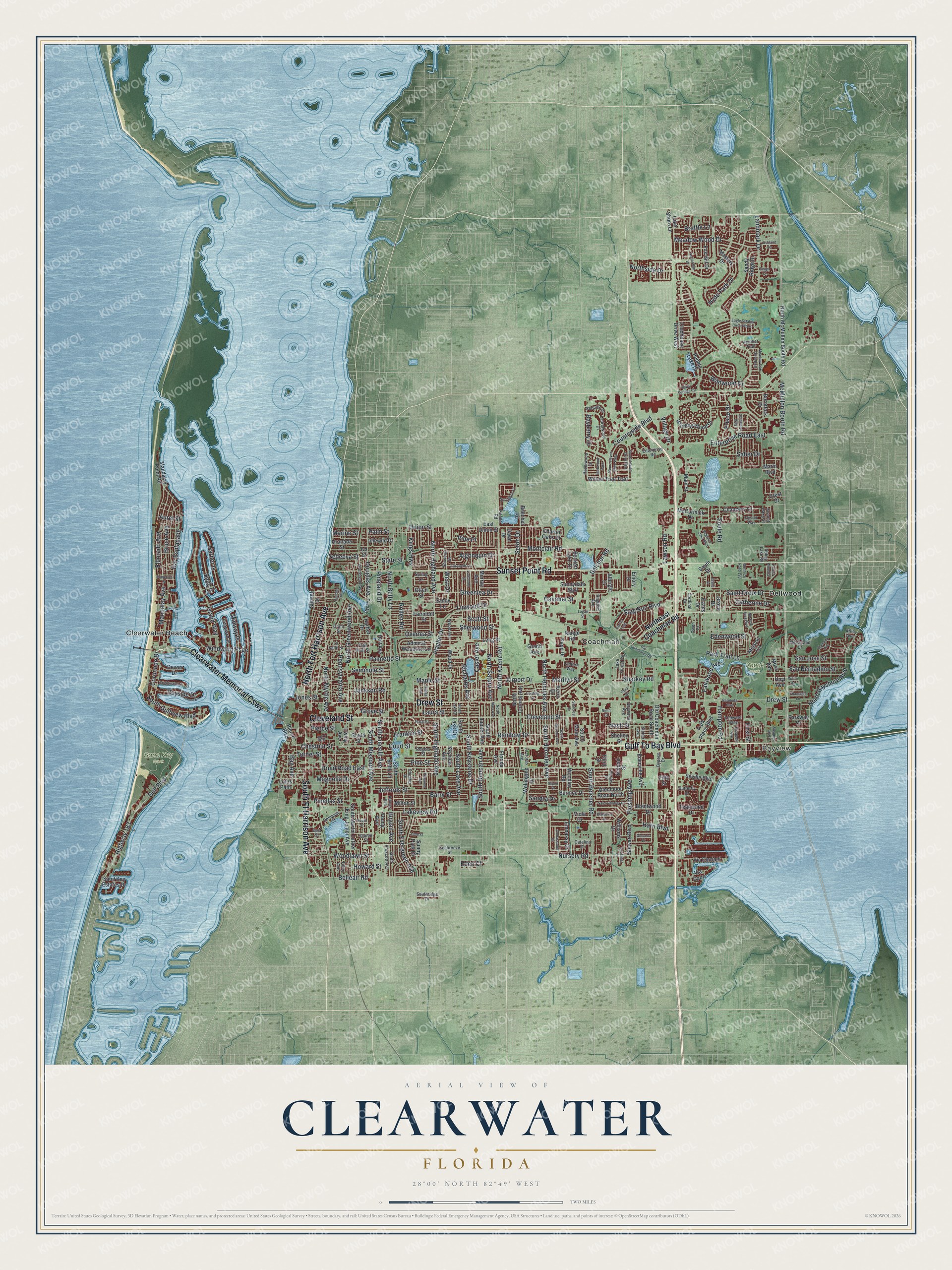
This beautifully detailed map of Clearwater, Florida was created in 2026 using aerial imagery combined with modern topographical, census, street and landmark data. It’s a one-of-a-kind view of Clearwater that combines accurate data with a vintage aesthetic. The map shows every building in its true location, many of the roads carry their names, and the shaded topographic relief shows the shape of the land.
Explore an aerial view of Clearwater, Florida
On the map you’ll find Bayview, Kapok Park, Sand Key Park, Clearwater Beach, Coachman, Dellwood, and Clearwater Memorial Cswy, along with Gulf To Bay Boulevard, Sunset Point Road, Drew Street, South Ft Harrison Avenue, North Fort Harrison Avenue, and more. If you look closely you can even find your house accurately drawn in its correct location. Zoom in on the preview to look for yours.
Did You Know?
Around 1835, the U.S. Army began building Fort Harrison here during the Seminole Wars. It was named for William Henry Harrison and stood on a bluff above Clearwater Harbor. Mark Wyllie later came upon a buried ammunition bunker while he was planting a tree in his yard. Archaeologists dug at the site in 1962.
Take a closer look at the Clearwater map
Names on this map
These names are printed on this map.
Places: Bayview, Kapok Park, Sand Key Park, Clearwater Beach, Coachman and Dellwood.
Streets and roads: Gulf To Bay Boulevard, Clearwater Memorial Causeway, Sunset Point Road, Drew Street, South Ft Harrison Avenue, North Fort Harrison Avenue, Cleveland Street, Union Street, Nursery Road, Mandalay Avenue, Eldorado Avenue, Chestnut Street.
More street names, A to Z
Abbey Lake Road, Adams Avenue, Admiral Woodson Lane, Airport Drive, Alameda Avenue, Albright Drive, Algonquin Drive, Ambassador Drive, Apache Trail, Arcturas Avenue, Arlie Avenue, Ashland Terrace, Aurel Street, Barber Drive, Barkwood Pass, Barry Street, Bay Avenue, Bayberry Drive, Bay Esplanade, Bayside Drive, Baywood Avenue, Beckett Lake Drive, Beecher Road, Belcher Road, Belleair Road, Bermuda Boulevard, Boylan Avenue, Brattle Lane, Brentwood Drive, Brightwater Drive, Bruce Avenue, Burnice Drive, Burntfork Drive, Butterfly Drive, Bypass, Bypass Drive, Calumet Street, Cardinal Drive, Casler Avenue, Catalina Drive, Catherine Drive, Chamblee Lane, Chancery Lane, Charter Oaks Drive, Chester Drive, Claiborne Drive, Clubhouse Drive West, Coronado Drive, Countryside Boulevard, Court Street, Crest Drive, Cxr RR, Dawn Drive, Dempsey Street, Devon Drive, Diane Drive, Dora Drive, Douglas Avenue, Druid Road East, Eagle Estates Circle North, East Street, East Union Street, Eden Court, Edenville Avenue, Edenwood Street, Elizabeth Avenue, Elizabeth Lane, Elysium Way, Embassy Drive, Emory Drive, Enterprise Road, Enterprise Road East, Evans Drive, Ewing Avenue, Excaliber Drive, Fairmont Street, Fairwood Avenue, Farrier Trail, Fifth Street, First Street, Flagler Drive, Florida Avenue, Flushing Avenue, Forest Wood Drive, Fox Hill Drive, Franklin Street, Frisco Drive, Geiger Court, Glenann Drive, Glenmoor Road North, Gould Street, Granada Street, Grand Avenue, Grant Street, Greenlea Drive, Grove Drive, Grove Street, Gulf Boulevard, Hampton Road, Harbor Drive, Harbor Is, Harding Street, Harn Boulevard, Hazelwood Lane, Heather Trail, Highway 183, Hilltop Avenue, Holt Avenue, Howard Street, Hoyt Avenue, Hyde Park Drive, Idlewild Drive, Island Way, Iva Street, Jackson Road, Jeffords Street, Jones Street, Kapp Drive, Keene Road, Kerry Drive, Kilmer Avenue, Kings Highway, Lake Forest Road, Lake Shore Lane, Lakeview Road, Landmark Drive, Lantern Way, La Salle Street, Laura Street, Laurelwood Drive, Lawson Road, Leeward Is, Leeward Isles, Lime Street, Linwood Drive, Logan Street, Lombardy Drive, Long Street, Lotus Path, Magnolia Drive, Main Street, Mandalay Point Road, Maple Street, Marilyn Street, Marine Street, Marlo Boulevard, Masters Drive, McCormick Drive, McFarland Drive, McMullen Booth Road, Meadow Lark Lane, Meadow Oak Drive East, Meadow Wood Drive, Midway Is, Milton Street, Mission Circle, Mission Hills Boulevard, Montclair Road, Moore Haven Drive East, Moore Haven Drive West, Moss Avenue, Murray Avenue, Nash Street, Ninth Street, North Bayshore Boulevard, North Betty Lane, North Corona Avenue, North County Road 193, Northeast Coachman Road, North Greenwood Avenue, North Hercules Avenue, North Highland Avenue, North Keene Road, North Lake Drive, North Mars Avenue, North McMullen Booth Road, North Myrtle Avenue, Northridge Drive, North Saturn Avenue, Northside Drive, Old Coachman Road, Old Coachman Road South, Otten Street, Overbrook Avenue, Overlea Street, Owen Drive, Palm Bluff Street, Palmetto Street, Palm Street, Park Place Boulevard, Park Street, Park Trail Lane, Parkway Drive, Pebble Lake Drive, Pennsylvania Avenue, Pierce Boulevard, Pierce Street, Pineland Drive, Pinellas Street, Pine Place, Pine Street, Pineview Avenue, Queen Street, Ragland Avenue, Rainbow Drive, Range Road, Regency Oaks Boulevard, Richards Avenue, Ripon Drive, Rogers Street, Rollen Road, Sabal Springs Circle, Saber Drive, Saint Charles Drive, Saint Croix Drive, San Bernadino Street, Sand Key Estates Drive, Sandra Drive, Sandy Lane, Sandy Ridge Drive, San Jose Street, Scarlet Oaks Street, Scott Street, Seabreeze Street, Second Street, Sedeeva Street, Seminole Street, Sequoia Drive, Seton Drive, Seville Boulevard, Sharkey Road, Shelley Street, Sherwood Street, Skyview Avenue, Snug Is, Somerset Street, Soule Road, South Belcher Road, South Betty Lane, South Drive, South Duncan Avenue, South Evergreen Avenue, South Gulfview Boulevard, South Hercules Avenue, South Highland Avenue, South Jupiter Avenue, South Keystone Drive, South Lake Avenue, South Lake Drive, South Lincoln Avenue, South Main Avenue, South Martin Luther King Junior Avenue, South Mercury Avenue, South Missouri Avenue, South Prescott Avenue, Southridge Drive, South Street, Souvenir Drive, Splitwood Way, Spring Lane, Springrain Drive, Stag Run Boulevard, Starcrest Drive, State Street, Stewart Boulevard, Sunnydale Boulevard, Sunny Park Drive, Sunset Drive, Teakwood Drive, Third Street, Tilley Avenue, Turner Street, Via Capri, Via Cipriani, Village Drive, Viola Drive, Wellington Drive, West Drive, Wildwood Drive, Williams Drive, Willow Tree Trail, Winding Wood Drive, Windward Psge, Wolfe Road, Wood Avenue, Wood Drive, Woodlawn Street, Woodley Road, Young Avenue.
See it on a wall
The Clearwater map as a framed print. Swipe for more.


This beautifully detailed map of Clearwater makes an attractive addition to your office, library, or den, and it can even be used to teach children the geography and history of the area. It also makes a great gift for someone who left Clearwater and still calls it home. When you’re done exploring, click here to get your copy of the Clearwater map.