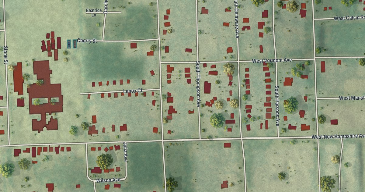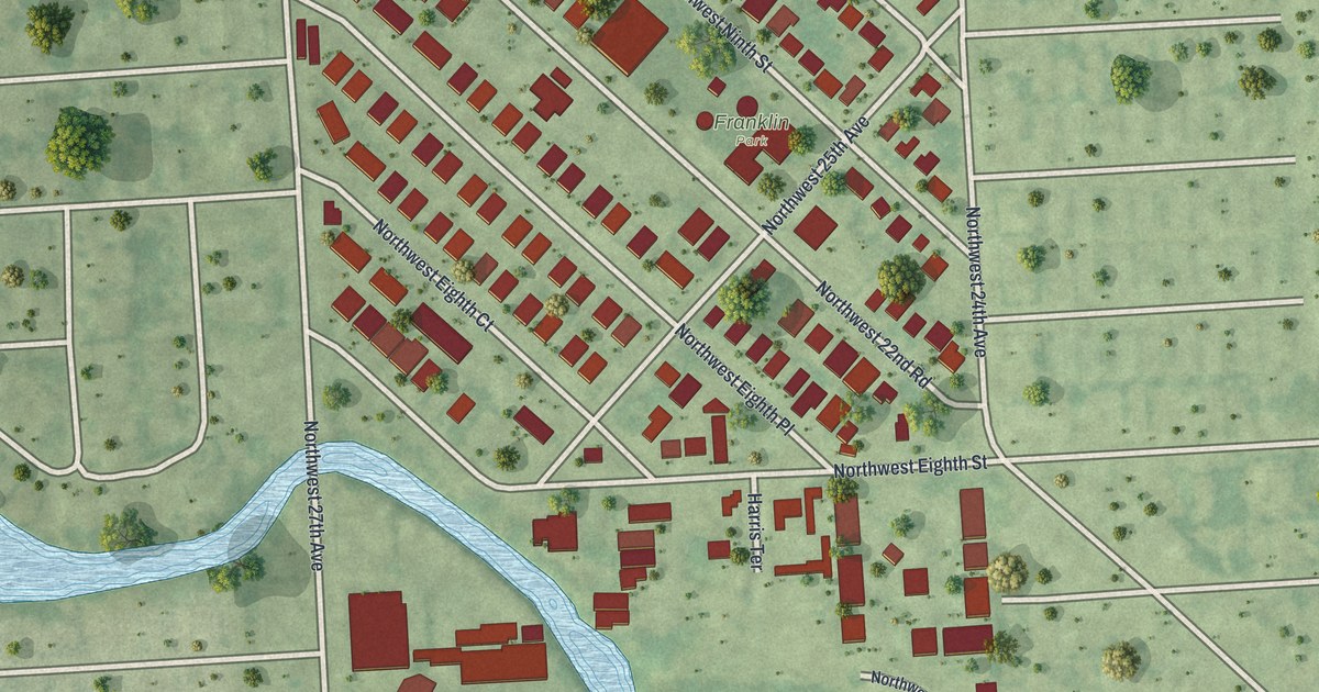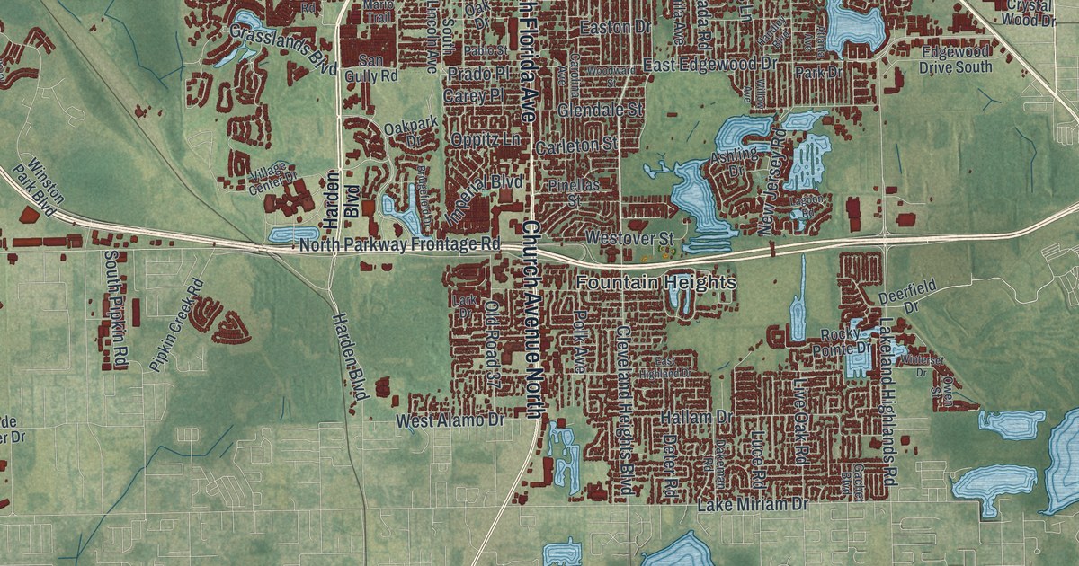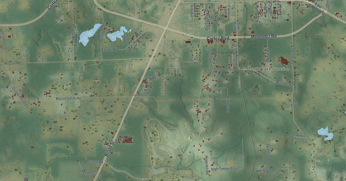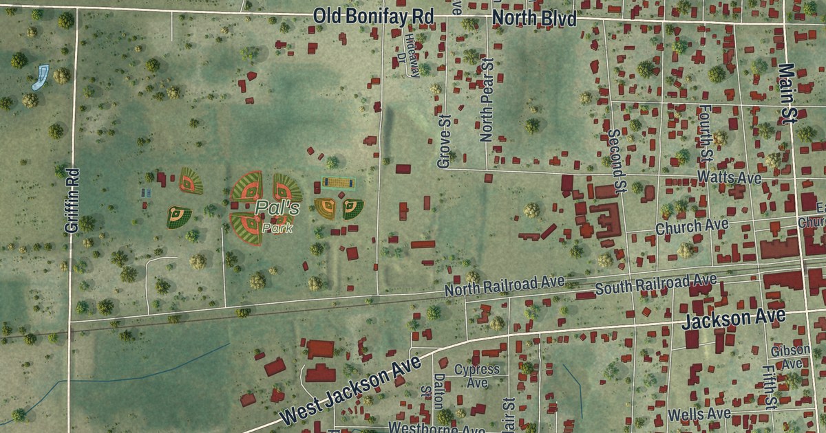
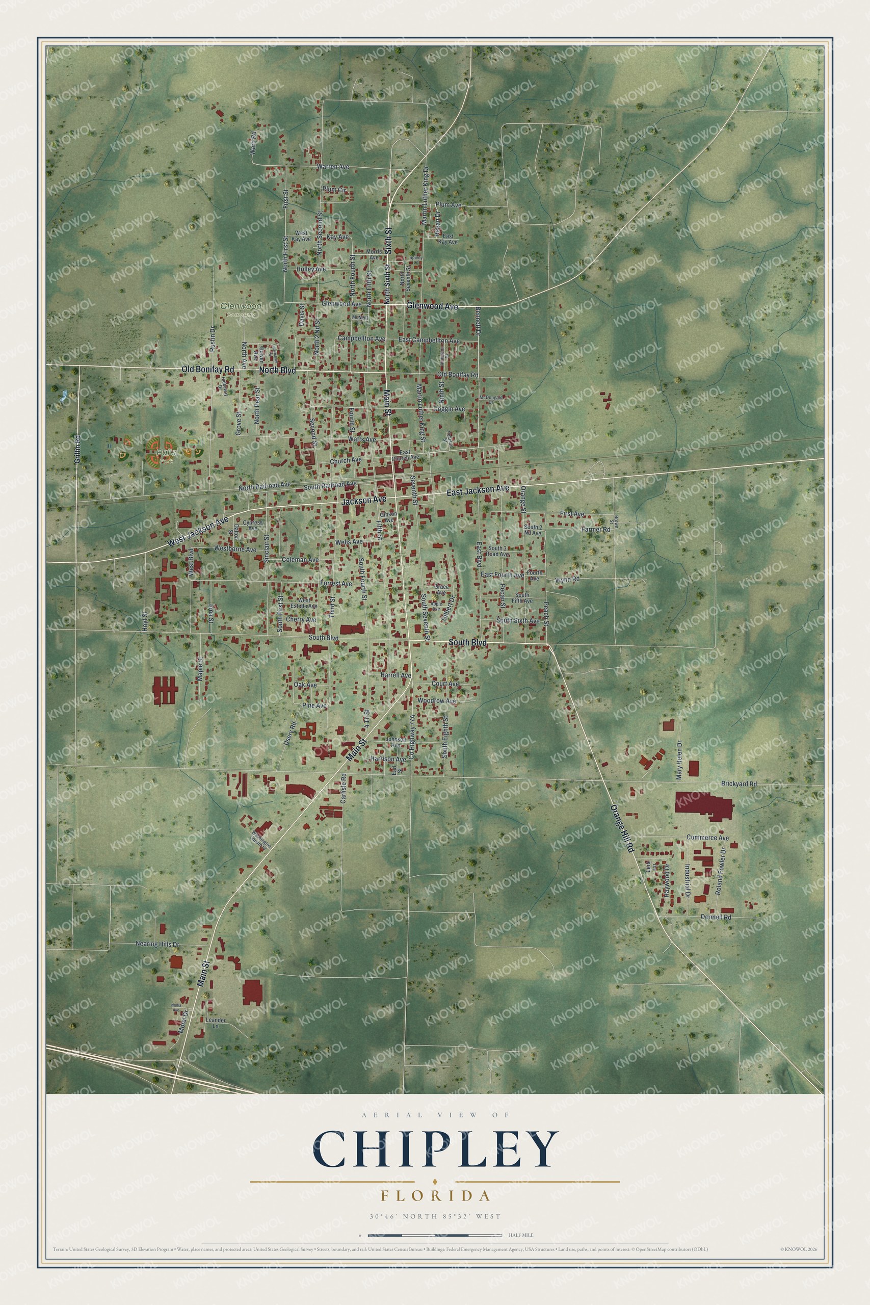
This beautifully detailed map of Chipley, Florida was created in 2026 using aerial imagery combined with modern topographical, census, street and landmark data. It’s a one-of-a-kind view of Chipley that combines accurate data with a vintage aesthetic. The map shows every building in its true location, many of the roads carry their names, and the shaded topographic relief shows the shape of the land.
Explore an aerial view of Chipley, Florida
On the map you’ll find Glenwood Cemetery and Pal’s Park, along with Glenwood Avenue, Sixth Street, Main Street, South Boulevard, West Jackson Avenue, Jackson Avenue, North Boulevard, Orange Hill Road, Old Bonifay Road, East Jackson Avenue, and more. If you look closely you can even find your house accurately drawn in its correct location. Zoom in on the preview to look for yours.
Did You Know?
Chipley was first called Orange when it was settled in 1882. The new name honored William Dudley Chipley, who led the Pensacola and Atlantic Railroad as its president. He also sat in the Florida Senate from 1895 to 1897. Chipley incorporated as a city in 1901.
Take a closer look at the Chipley map
Names on this map
These names are printed on this map.
Places: Glenwood Cemetery and Pal's Park.
Streets and roads: Glenwood Avenue, Sixth Street, Main Street, South Boulevard, West Jackson Avenue, Jackson Avenue, North Boulevard, Orange Hill Road, Old Bonifay Road, East Jackson Avenue, Bennett Drive, Church Avenue.
More street names, A to Z
4 Th Street, Anderson Street, Apple Avenue, Bowen Avenue, Brickyard Road, Brown Street, Campbellton Avenue, Carlisle Road, Carmichael Drive, Cherry Avenue, Coggin Avenue, Coleman Avenue, Commerce Avenue, Court Avenue, Cypress Avenue, Dalton Street, Davis Street, Donnell Road, Earl Street, East Boulevard, East Campbellton Avenue, East Church Avenue, East Fourth Avenue, East Kay Avenue, Farmer Road, Fifth Street, First Avenue, First Street, Forrest Avenue, Fourth Avenue, Fourth Street, Gibson Avenue, Gilbert Drive, Grace Avenue, Griffin Road, Grove Street, Harrell Avenue, Harrison Avenue, Haywood Drive, Hideaway Drive, Holley Avenue, Hoyt Street, Industrial Drive, Iona Street, Johnson Avenue, Kay Avenue, Leander Lane, Lera Lane, Maple Street, Martin Luther King Drive, Martin Luther King Street, Mary Helen Drive, McDougald Drive, McNeill Lane, Morris Avenue, Motel Drive, Nadia Avenue, Nearing Hills Drive, Ninth Street, North 2 Nd Street, North Avenue, North Fifth Street, North First Street, North Fourth Street, North Pear Street, North Railroad Avenue, North Second Street, North Seventh Street, North Sixth Street, Oak Avenue, Orange Street, Peach Street, Pearson Street, Pecan Street, Pine Avenue, Plum Avenue, Plum Circle, Regan Drive, Roland Fowler Drive, Rustin Drive, Second Street, Seventh Street, Sinclair Street, South 2 Nd Avenue, South 3 Road Avenue, South Eighth Street, South Fifth Avenue, South First Street, South Fourth Street, South Railroad Avenue, South Seventh Street, South Sixth Avenue, Spivey Lane, Third Street, Usery Road, Ward Road, Warren Avenue, Washington Square Drive, Watts Avenue, Wells Avenue, Westborne Avenue, West Boulevard, West Estelle Avenue, West Kay Avenue, Woodrow Avenue, Wynn Road.
See it on a wall
The Chipley map as a framed print. Swipe for more.


This beautifully detailed map of Chipley makes an attractive addition to your office, library, or den, and it can even be used to teach children the geography and history of the area. It also makes a great gift for anyone who grew up in Chipley or moved away. When you’re done exploring, click here to get your copy of the Chipley map.