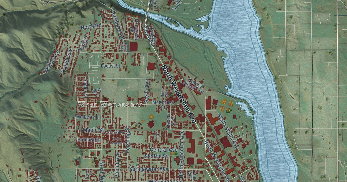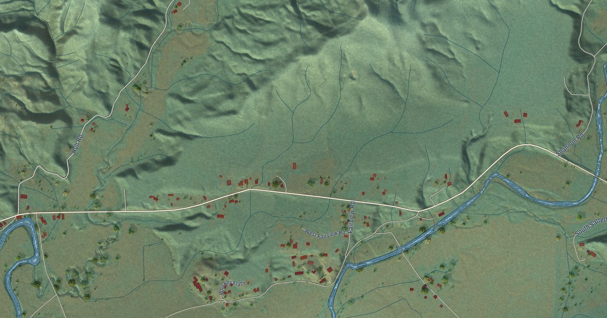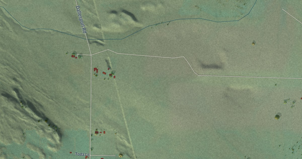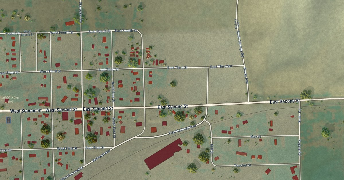
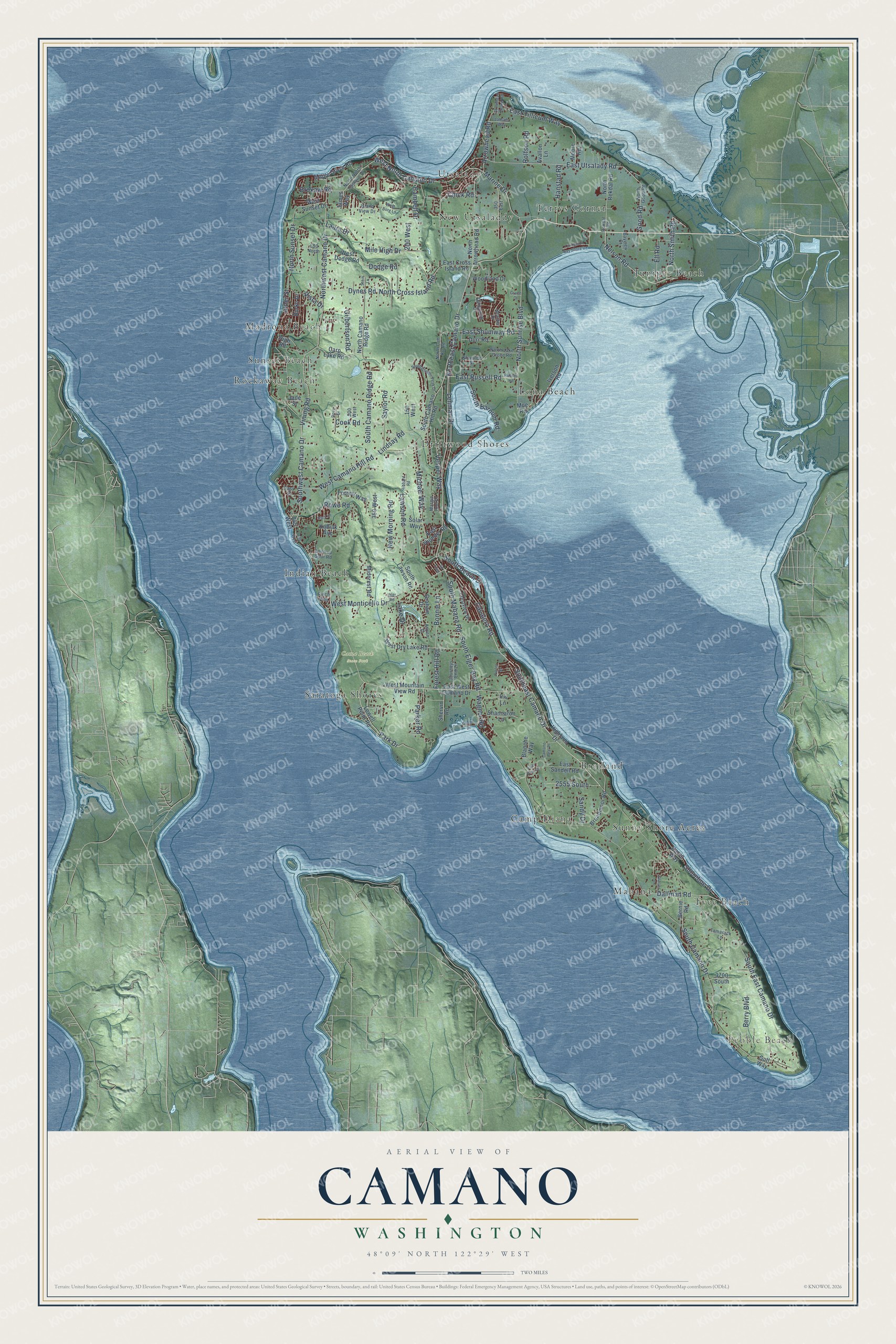
This beautifully detailed map of Camano, Washington was created in 2026 using aerial imagery combined with modern topographical, census, street and landmark data. It's a modern aerial view of Camano in Island County, Washington, that combines modern data with a vintage aesthetic. The roads feature printed names, and if you look closely you can find your exact house accurately shown in its correct location.
Explore an aerial view of Camano, Washington
On this map you'll find Pebble Beach, Cama Beach State Park, Rockaway Beach, Lona Beach, Tyee Beach, Juniper Beach, Bretland, Indian Beach, Driftwood Shores, Madrona Beach, Utsalady, Saratoga Shores, and more. Each red shape is a building, so zoom in on the preview and look for yours.
Camano has a story worth telling. Camano Island State Park was built by volunteers in a single day. On July 27, 1949, more than 500 people came with 3 bulldozers, 9 farm tractors, 34 pickup trucks and a team of horses, and by evening they had placed picnic tables and benches, cleared paths and leveled the road and parking area. The South Camano Grange organized the workday. Local mayors proclaimed a State Park Day, merchants closed so their employees could help, and the women of the Grange served their traditional clam chowder. That's from the Washington State Parks.
Camano is a community in Island County. The Census Bureau counted 17,356 people here in 2020.
Take a closer look at the Camano map
Names on this map
These names are printed on this map.
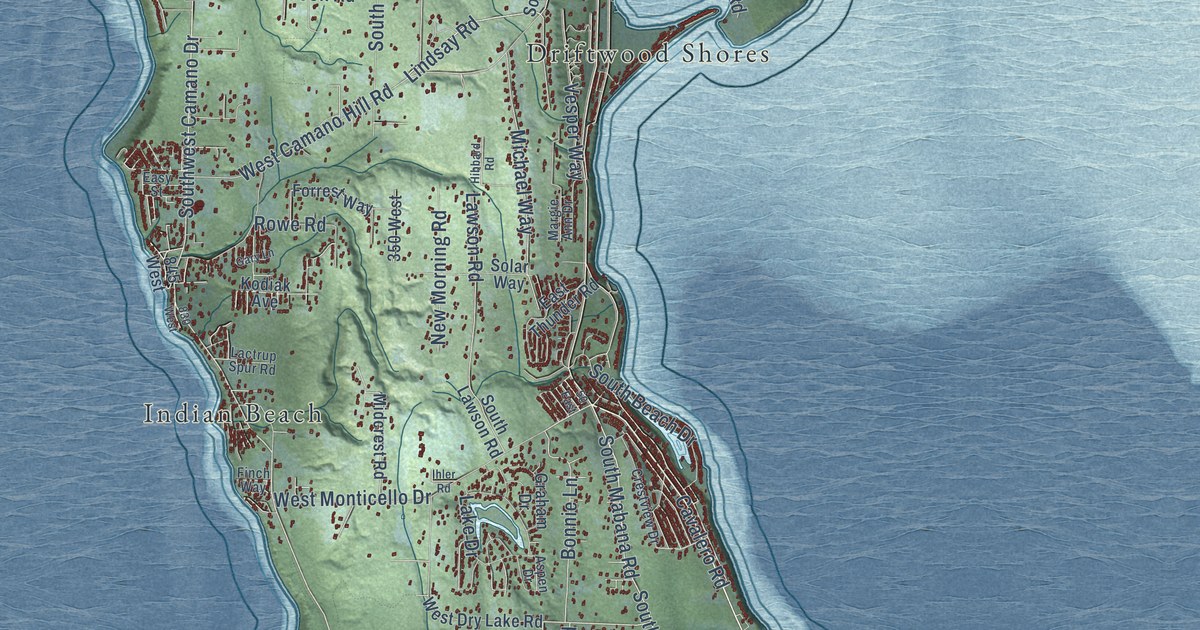
Places: Pebble Beach, Cama Beach State Park, Rockaway Beach, Lona Beach, Tyee Beach, Juniper Beach, Bretland, Indian Beach, Driftwood Shores, Madrona Beach, Utsalady, Saratoga Shores, Mabana, Sunny Shore Acres, New Utsaladdy, Camp Diana, Terrys Corner and Sunset Beach.
Streets and roads: Southeast Camano Drive, Southwest Camano Drive, Cavalero Road, Northeast Camano Drive, Northwest Camano Drive, North Sunrise Boulevard, West North Camano Drive, South Elger Bay Road, Nelson Road, East Russell Road, North Smith Road, Park Drive.
More street names, A to Z
50 East, 150 West, 200 West, 350 East, 350 West, 500 West, 650 North, 830 West, 845 West, 2555 South, 3700 South, Alder Street, Arrowhead Beach Road, Arrowhead Road, Aspen Drive, Avallon Lane, Bayview Court, Bernie Road, Berry Boulevard, Blanche Way, Bonnie Lane, Broadmoor Road, Brokaw Road, Burke Drive, Camaloch Drive, Camano Real Place, Cambell Drive, Carp Lake Road, Chick Road, Cook Road, Crestview Drive, Dallman Road, Dodge Road, Dove Drive, Durr Road, Dynes Road, East Awa Lane, East Cross Island Road, East Sandell Road, East Shumway Road, East Thunder Road, East Tillicum Way, East Utsalady Road, East West Camano Drive, Easy Street, Ell Road, Finch Way, Forest Hill Road, Forrest Way, Gary Lane, Gilbertson Road, Glacier Lane, Good Road, Gough Drive, Grace Court, Graham Drive, Gull Way, Hanstad Road, Heather Drive, Hibbard Road, Highland Drive, High Road, Ihler Road, Iris Lane, Island View Drive, Iverson Road, Jade Street, James Way, Journeys End Lane, Karen Way, Kodiak Avenue, Kowntee Street, Lactrup Spur Road, Lake Drive, Latham Way, Laura Drive, Lawson Road, Lehman Drive, Lindsay Road, Livingston Bay Shore Drive, Lowell Point Road, Maple Grove Road, Margie Ann Drive, Marine Drive, Michael Way, Midcrest Road, Mile High Drive, Moe Road, Moore Road, New Morning Road, North Arrowhead Road, North Camano Ridge Road, North Can Ku Road, North Cross Island Road, North Good Road, North Lake Grove Road, North North Camano Drive, North Rekdal Road, North Sunset Drive, Parker Road, Porter Street, Rekdal Road, Rolfson Road, Rowe Road, Russell Road, Sandy Drive, Saylor Road, Shannaron Lane, Shervin Road, Shoreline Drive, Solar Way, South Barnum Road, South Beach Drive, South Camano Drive, South Camano Hill Road, South Camano Ridge Road, South East Camano Drive, South Glacier Peak Drive, South Lawson Road, South Mabana Road, Stein Lane, Tamarack Lane, Vesper Way, Vining Road, Vista Drive, Wagner Road, West Borg Lane, West Camano Hill Road, West Dodge Road, West Dry Lake Road, West Monticello Drive, West Mountain View Road, West Sunset Drive, Woodland Drive.
See it on a wall
The Camano map as a framed print. Swipe for more.


Created by KNOWOL in 2026. The buildings are small red shapes, the roads carry their printed names, and shaded relief shows the shape of the land. The title panel reads "AERIAL VIEW OF CAMANO, WASHINGTON" with 48°09' NORTH 122°29' WEST.
It looks right in a kitchen, an office or a den, and it's a gift for anyone who grew up in Camano or moved away. Open the preview and find your street. See sizes and frames for the Camano map.