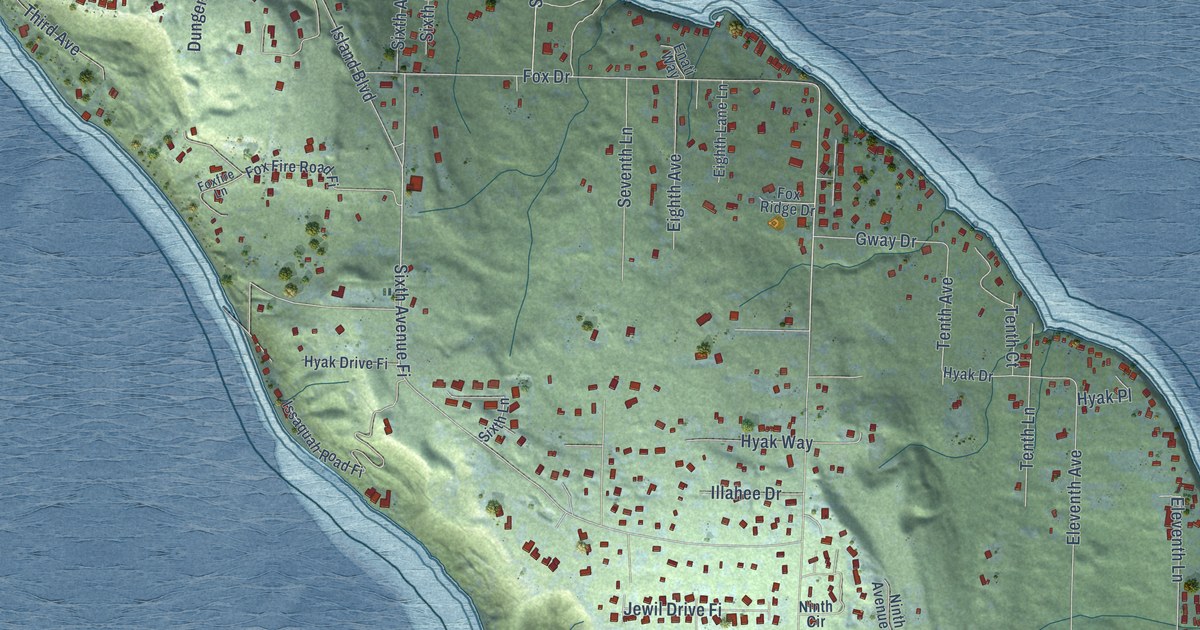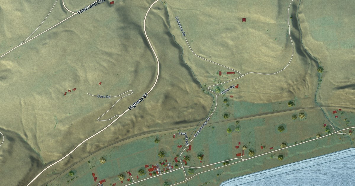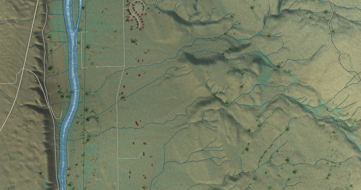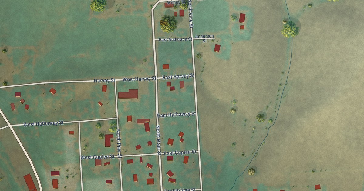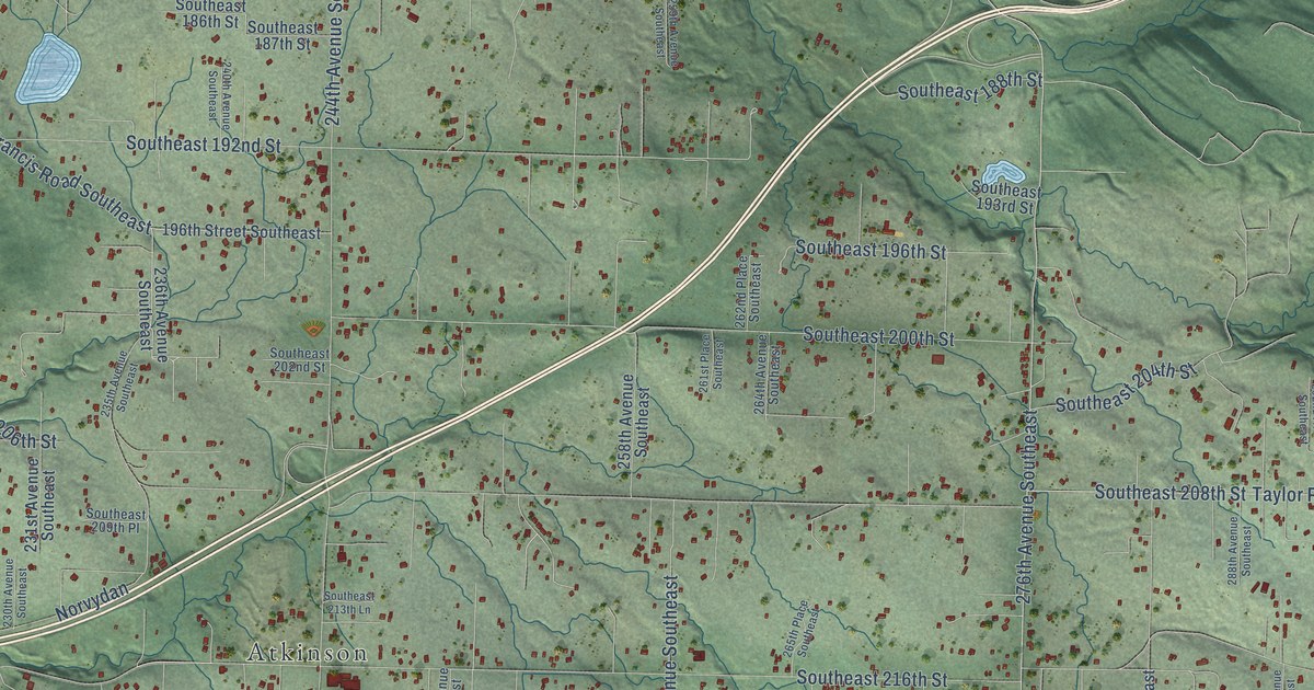
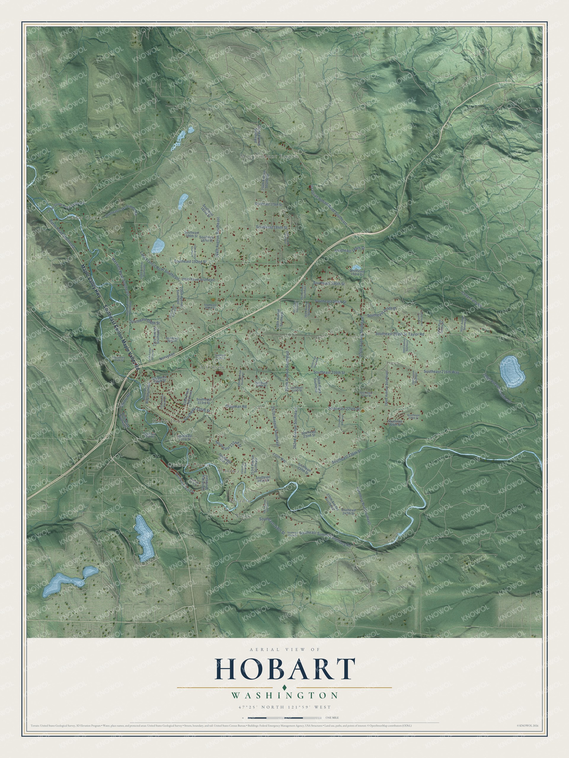
This beautifully detailed map of Hobart, Washington was created in 2026 using aerial imagery combined with modern topographical, census, street and landmark data. It's a modern aerial view of Hobart in King County, Washington, that combines modern data with a vintage aesthetic. The roads feature printed names, and if you look closely you can find your exact house accurately shown in its correct location.
Explore an aerial view of Hobart, Washington
On this map you'll find Cedar Grove, Noble, Mirrormount Estates, Atkinson, Dorre Don, Orchard Grove, Tahoma, Arcadia, Maple Valley Highway, Southeast Renton Maple Valley Road, Southeast 184th Street, Issaquah Hobart Road Southeast, and more. Each red shape is a building, so zoom in on the preview and look for yours.
Hobart has a story worth telling. By 1909 William Washington Wood and Ivar C. Iverson had bought timber land at Hobart, and in 1915 they opened a large sawmill with a log pond and a wooden flume more than half a mile long. Hobart became a company town with a general store, 35 company houses, a three-story hotel and a post office. Because no bank was near, the company issued its own aluminum money, called hickeys. They were honored at the general store and also in Renton, Maple Valley, Issaquah and even the Seattle Hotel. That's from the Museum of History and Industry.
Hobart is a community in King County. The Census Bureau counted 6,767 people here in 2020.
Take a closer look at the Hobart map
Names on this map
These names are printed on this map.
Places: Cedar Grove, Noble, Mirrormount Estates, Atkinson, Dorre Don, Orchard Grove, Tahoma and Arcadia.
Streets and roads: Maple Valley Highway, Southeast Renton Maple Valley Road, Southeast 184th Street, Issaquah Hobart Road Southeast, Lake Francis Road Southeast, 276th Avenue Southeast, Southeast 208th Street, 244th Avenue Southeast, Southeast 216th Street, Southeast 224th Street, Maxwell Road Southeast, Southeast 200th Street.
More street names, A to Z
196th Street Southeast, 225th Avenue Southeast, 228th Avenue Southeast, 230th Avenue Southeast, 231st Avenue Southeast, 233rd Avenue Southeast, 235th Avenue Southeast, 235th Way, 236th Avenue Southeast, 238th Place Southeast, 240th Avenue Southeast, 242nd Way Southeast, 250th Avenue Southeast, 250th Place Southeast, 252nd Avenue Southeast, 253rd Avenue Southeast, 254th Avenue Southeast, 256th Avenue Southeast, 257th Avenue Southeast, 258th Avenue Southeast, 259th Avenue Southeast, 260th Avenue Southeast, 261st Place Southeast, 262nd Avenue Southeast, 262nd Place Southeast, 264th Avenue Southeast, 265th Place Southeast, 266th Place Southeast, 270th Avenue Southeast, 272nd Avenue Southeast, 284th Avenue Southeast, 288th Avenue Southeast, 290th Avenue Southeast, 292nd Avenue Southeast, 295th Place Southeast, 298th Avenue Southeast, 301st Avenue Southeast, Byers Road Southeast, Cedar Falls Road, Cedar Grove Road Southeast, Chapman Road, Dorre Don Way Southeast, Landsburg Road Southeast, Norvydan, Southeast 179th Street, Southeast 182nd Street, Southeast 186th Street, Southeast 187th Street, Southeast 188th Street, Southeast 192nd Street, Southeast 193rd Street, Southeast 196th Street, Southeast 202nd Street, Southeast 204th Street, Southeast 206th Street, Southeast 209th Place, Southeast 213th Lane, Southeast 214th Street, Southeast 216th Way, Southeast 218th Street, Southeast 219th Street, Southeast 220th Street, Southeast 221st Street, Southeast 223rd Street, Southeast 225th Street, Southeast 226th Street, Southeast 228th Street, Southeast 230th Place, Southeast 230th Street, Southeast 231st Street, Southeast 232nd Street, Southeast 235th Place, Southeast 236th Street, Southeast 237th Street, Southeast 240th Street, Southeast 241st Street, Southeast 243rd Street, Southeast 247th Street, Southeast 248th Street, Southeast 252nd Street, Southeast Lake Francis Road, Southeast Summit Landsburg Road, Taylor Road, Whitte Road, Witte Road Southeast.
See it on a wall
The Hobart map as a framed print. Swipe for more.


Created by KNOWOL in 2026. The buildings are small red shapes, the roads carry their printed names, and shaded relief shows the shape of the land. The title panel reads "AERIAL VIEW OF HOBART, WASHINGTON" with 47°25' NORTH 121°59' WEST.
It looks right in a kitchen, an office or a den, and it's a gift for anyone who grew up in Hobart or moved away. Open the preview and find your street. See sizes and frames for the Hobart map.