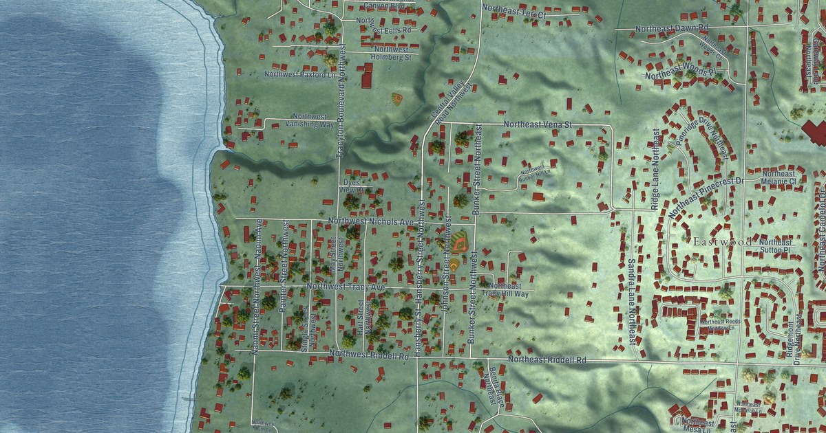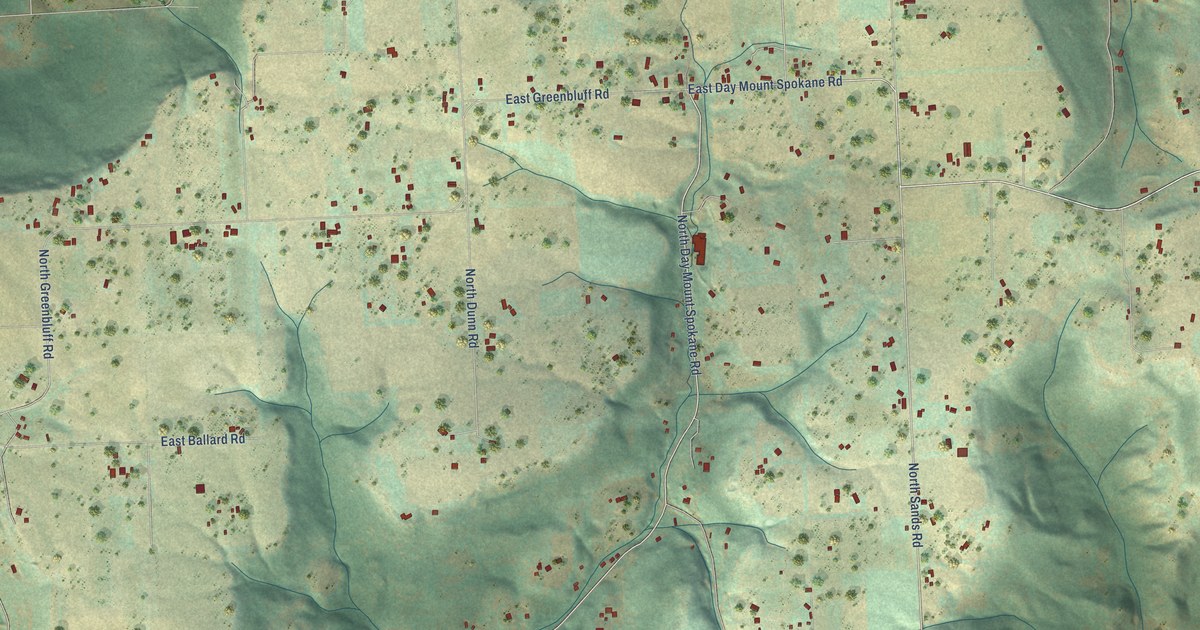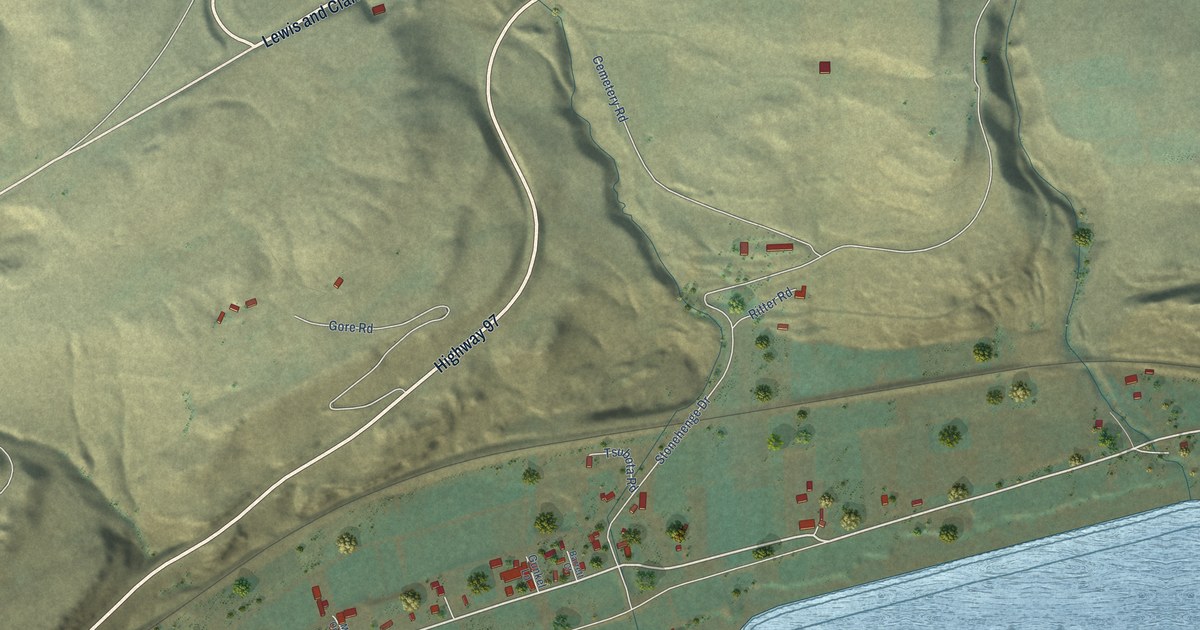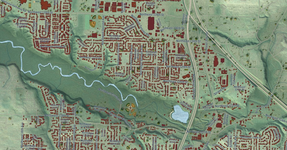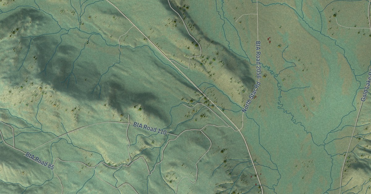
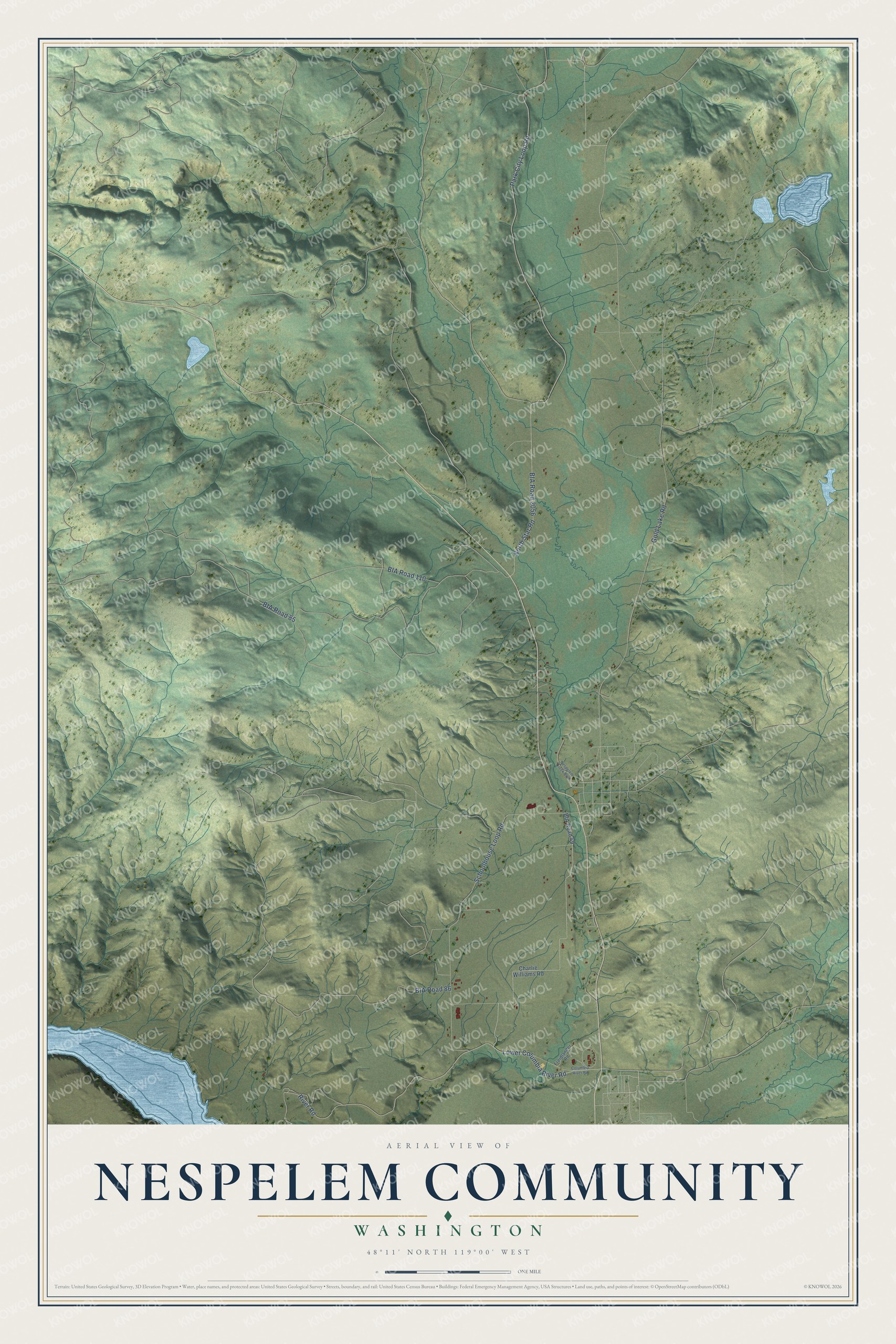
This beautifully detailed map of Nespelem Community, Washington was created in 2026 using aerial imagery combined with modern topographical, census, street and landmark data. It's a modern aerial view of Nespelem Community in Okanogan County, Washington, that combines modern data with a vintage aesthetic. The roads feature printed names, and if you look closely you can find your exact house accurately shown in its correct location.
Explore an aerial view of Nespelem Community, Washington
On this map you'll find Lower Columbia River Road, River Road, BIA Road 2056, Gold Lake Road, Park City Loop Road, BIA Road 110, BIA Road 85, BIA Road 86, Schoolhouse Loop Road, North Star Road, Charlie Williams Road, BIA Road 49, and more. Each red shape is a building, so zoom in on the preview and look for yours.
Every town has a first chapter, and Nespelem Community is no exception. Chief Moses invited Chief Joseph to live on the Colville Reservation, and in 1885 Joseph and about 150 members of his band arrived and were allowed to settle near Nespelem. When the government offered them allotments at Lapwai in 1889, Chief Joseph refused, hoping to return to the Wallowa. Chief Joseph visited the Wallowa in 1899 and 1900. He was greeted warmly, but he was told he would not be allowed to live there again. That's from the Colville Confederated Tribes.
Nespelem Community is a community in Okanogan County. The Census Bureau counted 283 people here in 2020.
Take a closer look at the Nespelem Community map
Names on this map
These names are printed on this map.
Streets and roads: Lower Columbia River Road, River Road, BIA Road 2056, Gold Lake Road, Park City Loop Road, BIA Road 110, BIA Road 85, BIA Road 86, Schoolhouse Loop Road, North Star Road, Charlie Williams Road, BIA Road 49.
More street names, A to Z
Columbia River Road, Freidlander Road, Nespelem Creek Boulevard.
See it on a wall
The Nespelem Community map as a framed print. Swipe for more.


Created by KNOWOL in 2026. The buildings are small red shapes, the roads carry their printed names, and shaded relief shows the shape of the land. The title panel reads "AERIAL VIEW OF NESPELEM COMMUNITY, WASHINGTON" with 48°11' NORTH 119°00' WEST.
Hang it in the hallway, the office or the cabin, or give it to someone who left Nespelem Community and still calls it home. Open the preview and look for a street you know. See sizes and frames for the Nespelem Community map.