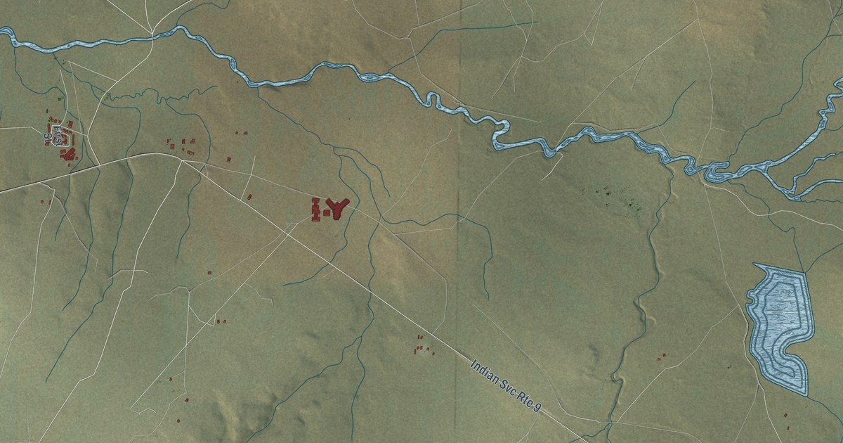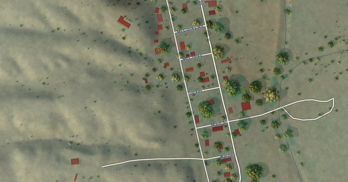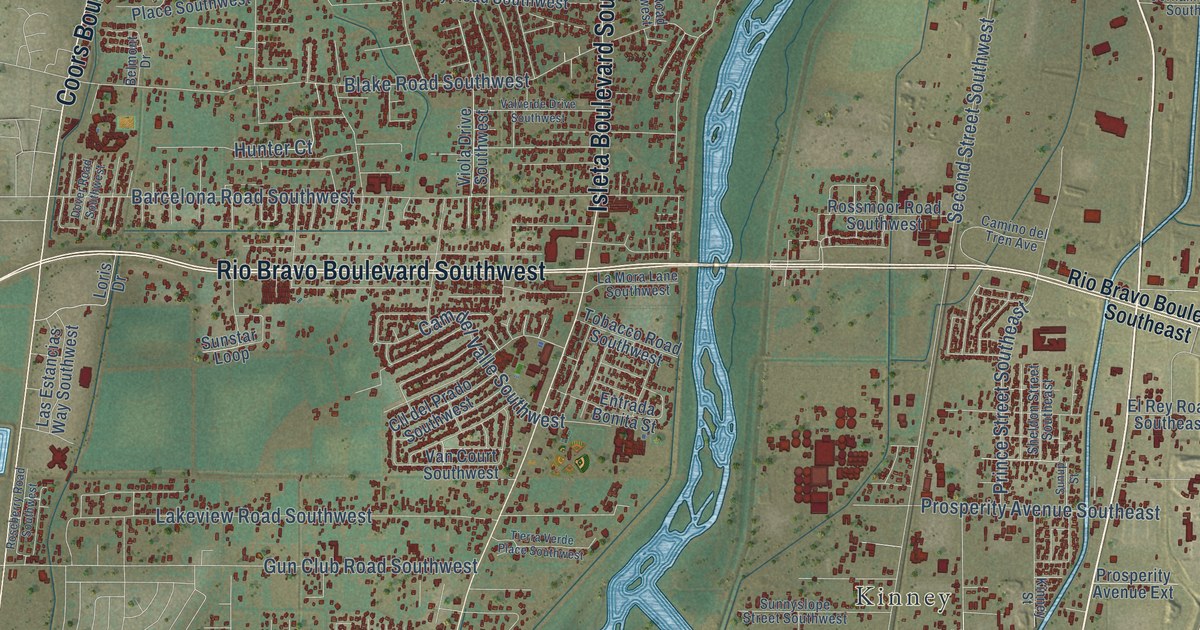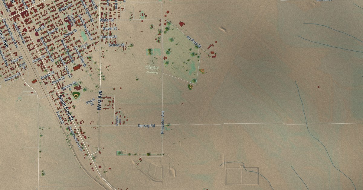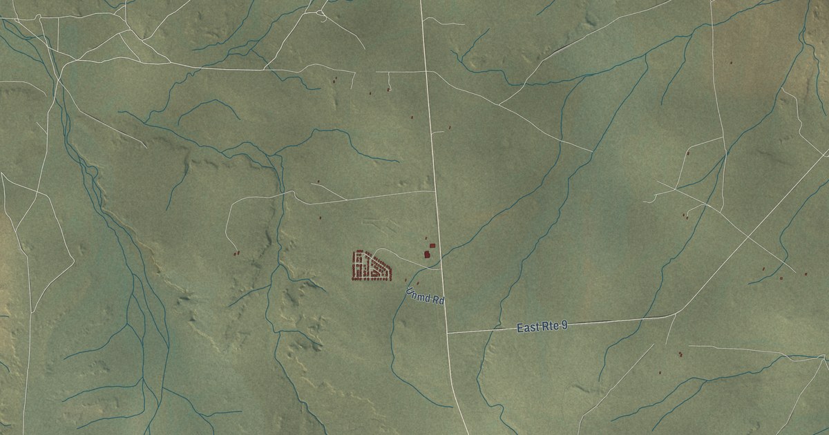
Crownpoint is a community of 2,900 in McKinley County, New Mexico. This beautifully detailed map of Crownpoint, New Mexico was created in 2026 using aerial imagery combined with modern topographical, census, street and landmark data. It's a modern aerial view of Crownpoint in McKinley County, New Mexico, that combines modern data with a vintage aesthetic. The roads feature printed names, and if you look closely you can find your exact house accurately shown in its correct location.
Explore an aerial view of Crownpoint, New Mexico
On this map you'll find Church Drive, Chaco Boulevard, Crownpoint, Rocky Canyon Road, Borrego Pass Road, King Street, Coal Canyon Road, Lowerpoint Road, Unmd Road, 4 Wh Drive Road, Blue Mesa Road, West Mesa Drive, and more. Each red shape is a building, so zoom in on the preview and look for yours.
Every town has a first chapter, and Crownpoint is no exception. The Diné called this area T'iis ts'ooz nideeshgiizh, for the greasewood and cottonwood that grew in the back canyons. In 1910 Samuel F. Stacher, the first superintendent of the new Eastern Navajo Agency, set up the agency and the Pueblo Bonito Boarding School at Crownpoint. Crownpoint's own chapter of the Navajo Nation government was established in 1965. That's from the Crownpoint Chapter of the Navajo Nation.
Take a closer look at the Crownpoint map
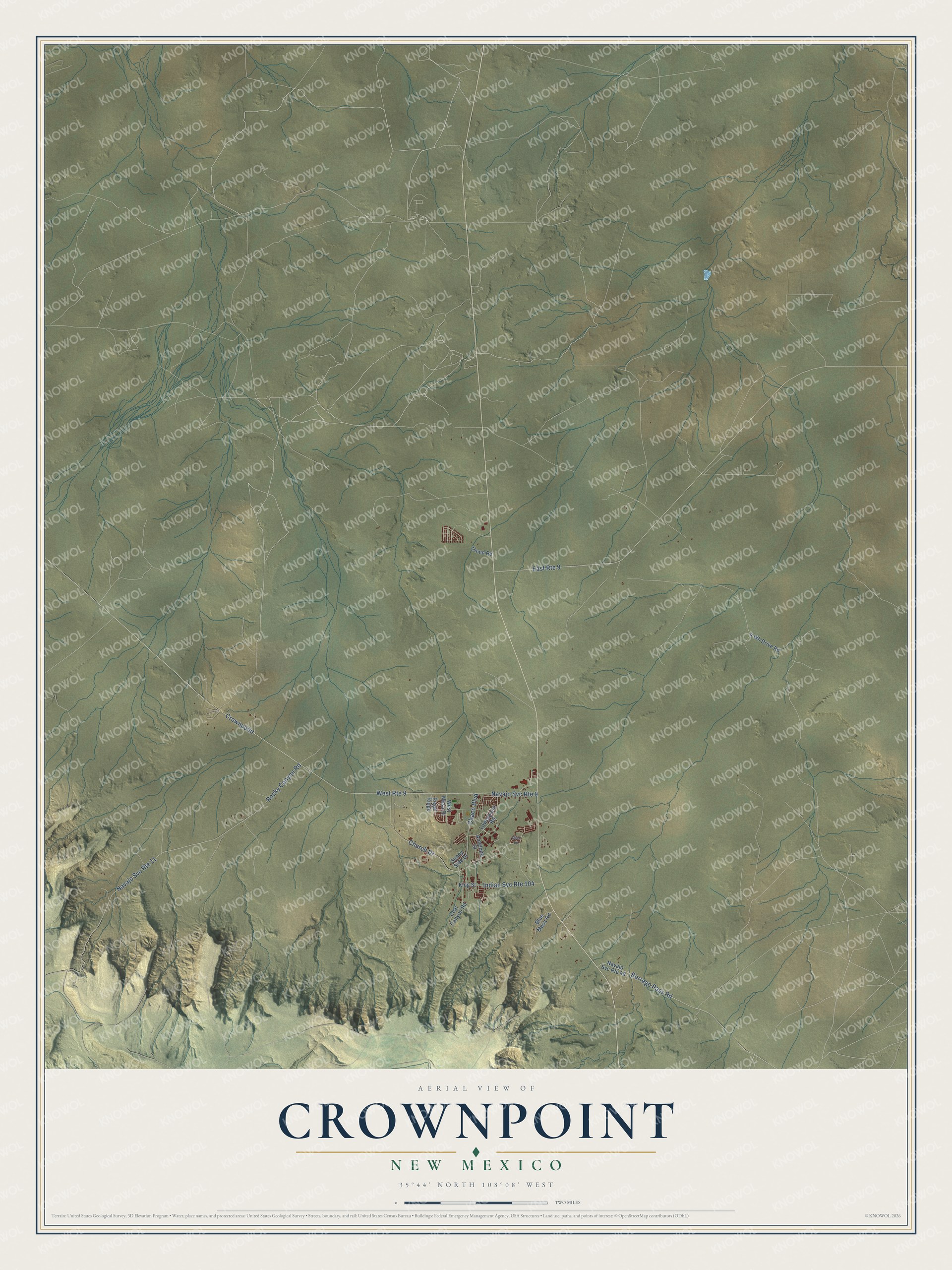
Names on this map
These names are printed on this map.
Streets and roads: Church Drive, Chaco Boulevard, Indian Svc Route 104, Crownpoint, Navajo Svc Route 9, East Route 9, West Route 9, Navajo Svc Route 11, Rocky Canyon Road, Borrego Pass Road, King Street, Navajo Svc Route 48.
More street names, A to Z
4 Wh Drive Road, Antelope Street, Blue Mesa Road, Coal Canyon Road, Deer Lane, Lowerpoint Road, Regal Ridge, Sunny Side Drive, Unmd Road, West Mesa Drive.
See it on a wall
The Crownpoint map as a framed print. Swipe for more.


Created by KNOWOL in 2026. The buildings are small red shapes, the roads carry their printed names, and shaded relief shows the shape of the land. The title panel reads "AERIAL VIEW OF CROWNPOINT, NEW MEXICO" with 35°44' NORTH 108°08' WEST.
Hang it in the hallway, the office or the cabin, or give it to someone who left Crownpoint and still calls it home. Open the preview and look for a street you know. See sizes and frames for the Crownpoint map.