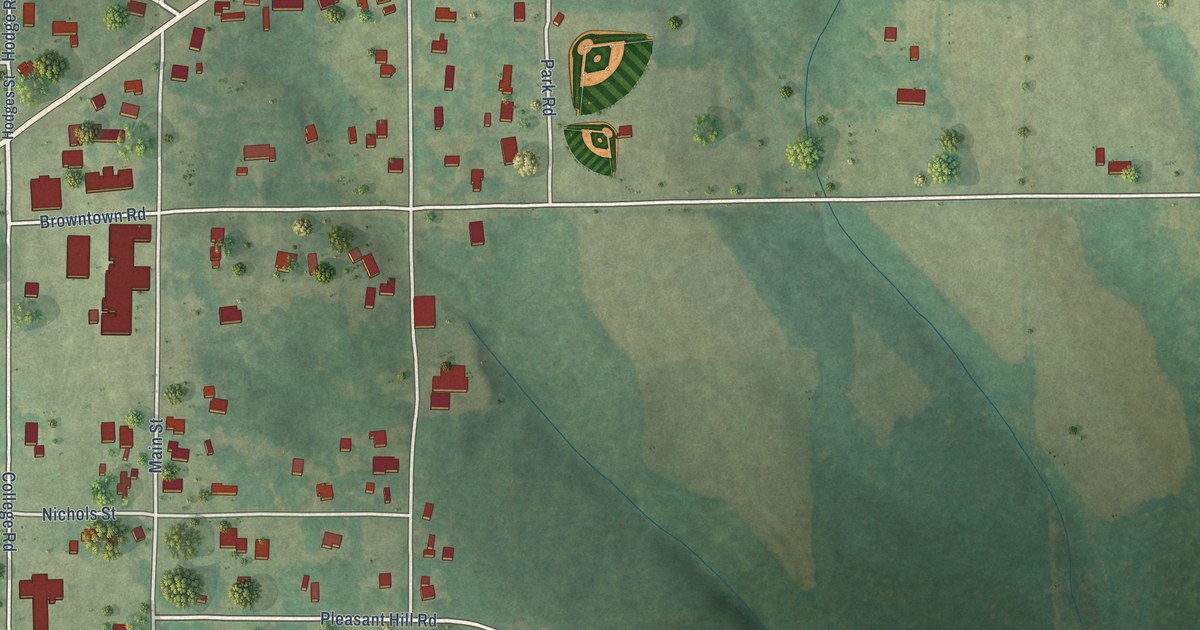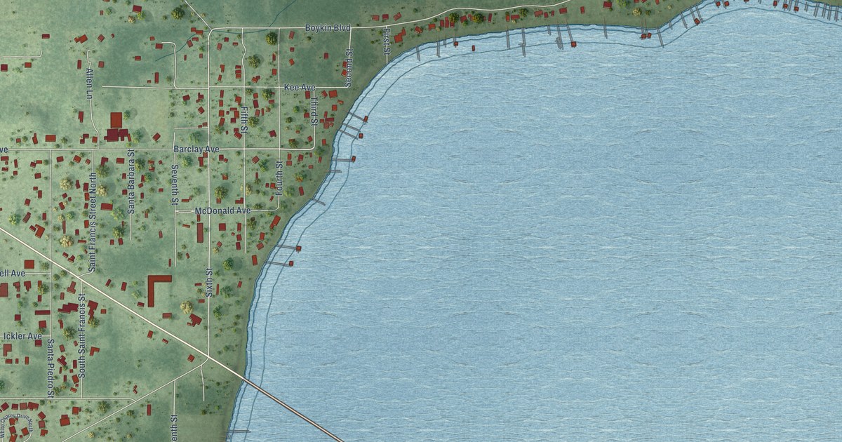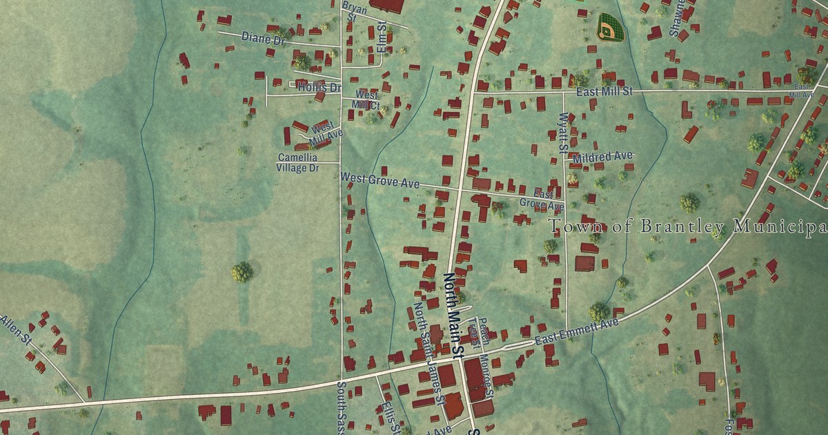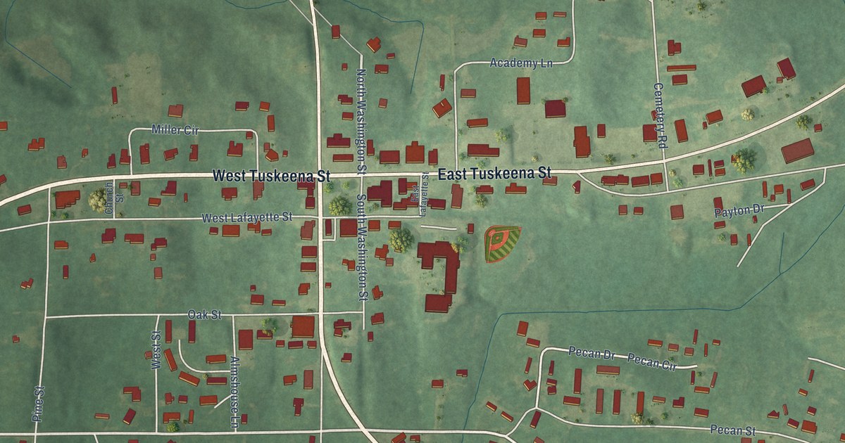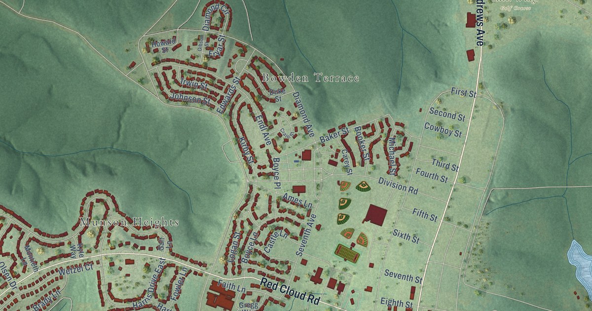
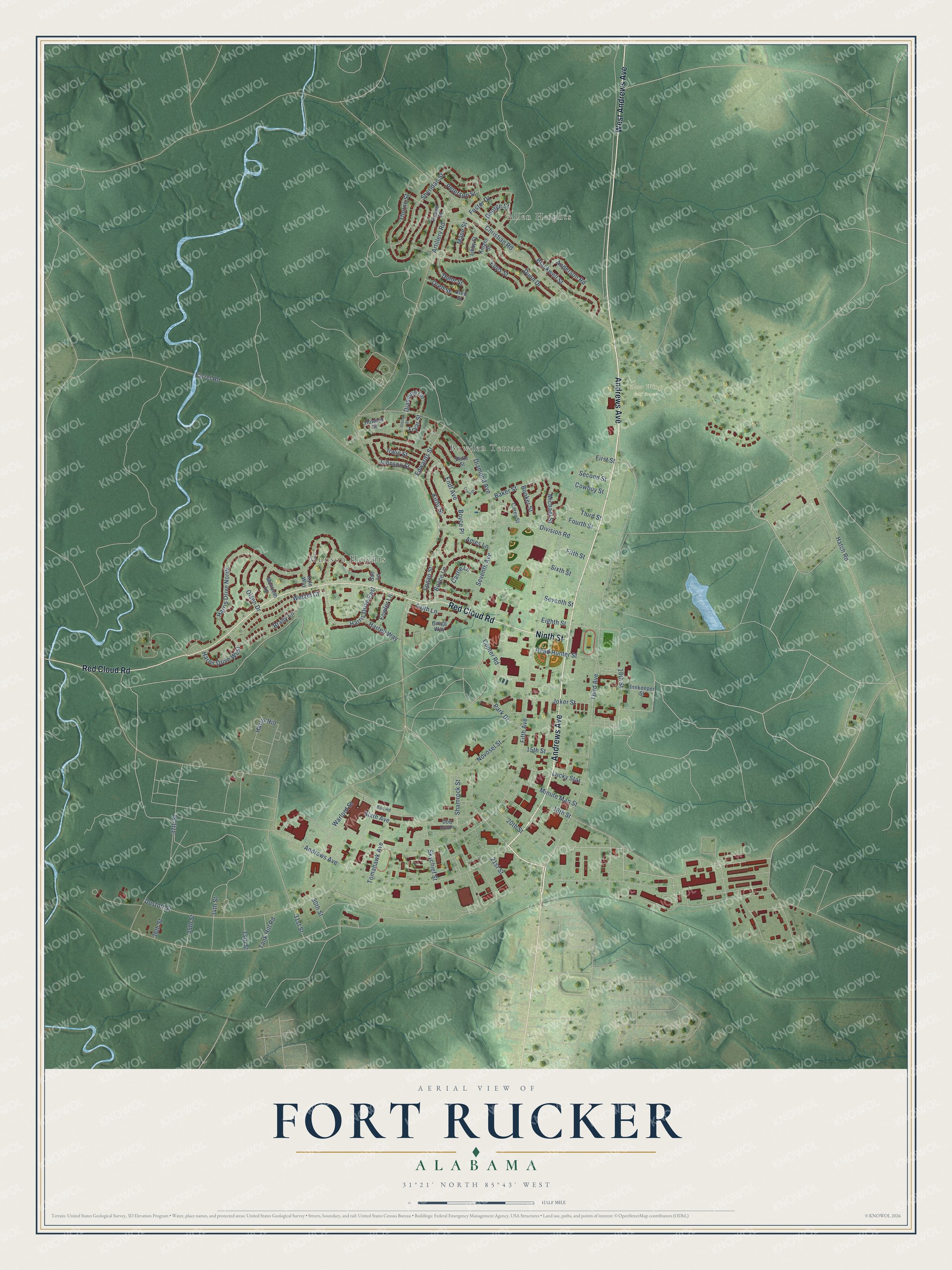
This beautifully detailed map of Fort Rucker, Alabama was created in 2026 using aerial imagery combined with modern topographical, census, street and landmark data. It's a modern aerial view of Fort Rucker in Dale County, Alabama, that combines modern data with a vintage aesthetic. The roads feature printed names, and if you look closely you can find your exact house accurately shown in its correct location.
Explore an aerial view of Fort Rucker, Alabama
On this map you'll find Munson Heights, Allen Heights, Bowden Terrace, Silver Wings Golf Course, West Andrews Avenue, Andrews Avenue, Red Cloud Road, Ninth Street, Third Avenue, Joker Street, 13th Street, Novosel Street, and more. Each red shape is a building, so zoom in on the preview and look for yours.
Fort Rucker has a story worth telling. The post opened on May 1, 1942, as Camp Rucker, and four infantry divisions trained there in World War II. The Army Aviation School moved in from Fort Sill, Oklahoma, in 1954, and in 1955 the camp became the permanent Fort Rucker, the home of Army Aviation. In 2023 the post was renamed Fort Novosel for Chief Warrant Officer Michael J. Novosel Sr., a Medal of Honor recipient who long lived in Enterprise. In 2025 it became Fort Rucker again, this time for World War I pilot Captain Edward Rucker. That's from the U.S. Army.
Fort Rucker is a community in Dale County.
Take a closer look at the Fort Rucker map
Names on this map
These names are printed on this map.
Places: Munson Heights, Allen Heights, Bowden Terrace and Silver Wings Golf Course.
Streets and roads: West Andrews Avenue, Andrews Avenue, Red Cloud Road, Ninth Street, Third Avenue, Joker Street, 13th Street, Novosel Street, First Street, Harris Hill, Harris Drive West, Harris Drive North.
More street names, A to Z
15th Street, 18th Street, 20th Street, 21st Street, 30th Street, 31st Street, 33rd Street, 34th Street, 35th Street, 36th Street, 37th Street, Ames Lane, Anderson Road, Artillery Road, Baker Street, Blackwell Street, Booker Street, Boq Road, Boyce Lane, Boyce Place, Brady Lane, Carey Street, Castle Lane, Christian Road, Copter Road, Cowboy Street, Crain Street, Diamond Avenue, Diamond Circle, Division Road, Duke Street, Dunn Drive, Dunn Street, Dustoff Street, Edwards Street, Eighth Street, Endl Avenue, Epps Street, Faith Lane, Farrel Road, Fifth Avenue, Fifth Street, Foster Drive, Fourth Street, Fowler Lane, Fryar Street, Galt Lane, George Street, Gibson Street, Gregg Way, Harris Drive East, Hartell Way, Hatch Road, Head Hunter Street, Howard Street, Innkeeper Street, Irwin Street, Johnson Street, Kirby Street, Knight Street, Kyle Way, Libby Street, Logan Street, Lucky Star, Mann Street, Michael Street, Minute Man Street, Montieth Lane, Olsen Drive, Orell Street, Park Drive, Peterson Street, Reese Street, Second Street, Seventh Avenue, Seventh Street, Shamrock Street, Sheridan Street, Sixth Avenue, Sixth Street, Skychief Street, Tank Hill Road, Third Street, Thorne Street, Tomahawk Avenue, Uoq Union, Urell Street, Warlord Street, Wetzel Court.
See it on a wall
The Fort Rucker map as a framed print. Swipe for more.


Created by KNOWOL in 2026. The buildings are small red shapes, the roads carry their printed names, and shaded relief shows the shape of the land. The title panel reads "AERIAL VIEW OF FORT RUCKER, ALABAMA" with 31°21' NORTH 85°43' WEST.
It looks right in a kitchen, an office or a den, and it's a gift for anyone who grew up in Fort Rucker or moved away. Open the preview and find your street. See sizes and frames for the Fort Rucker map.