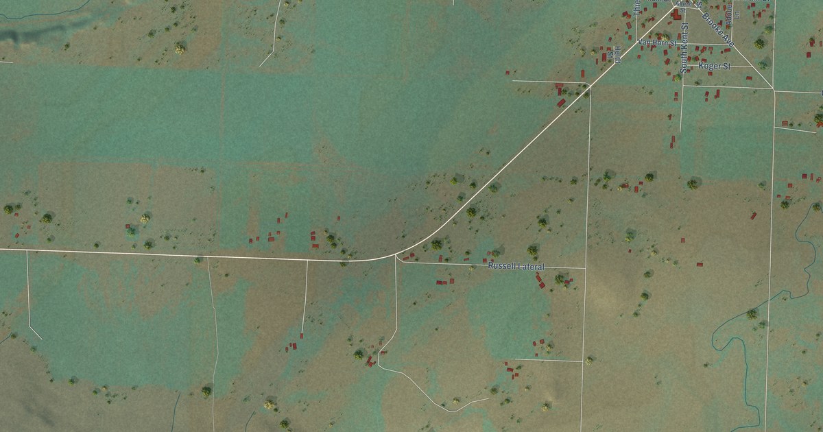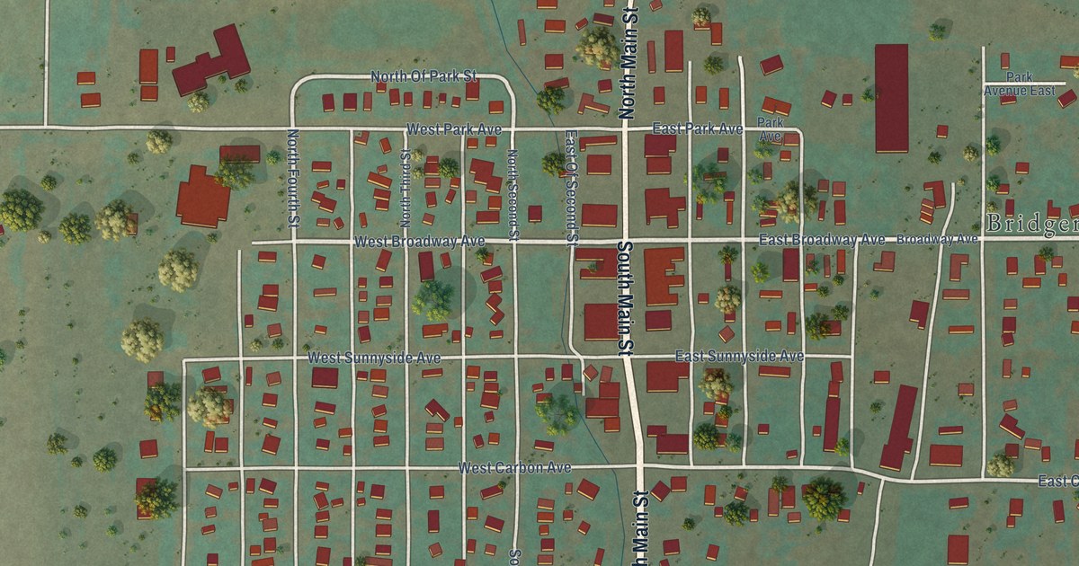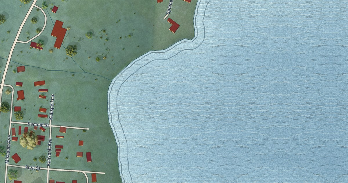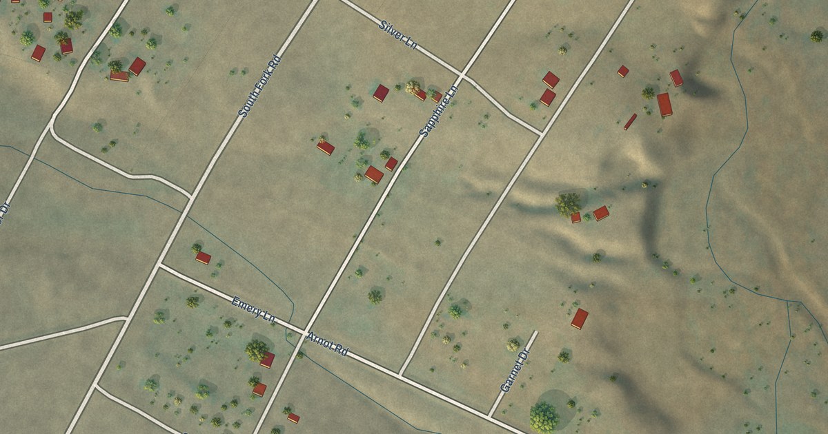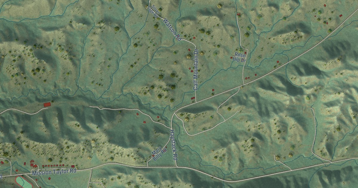
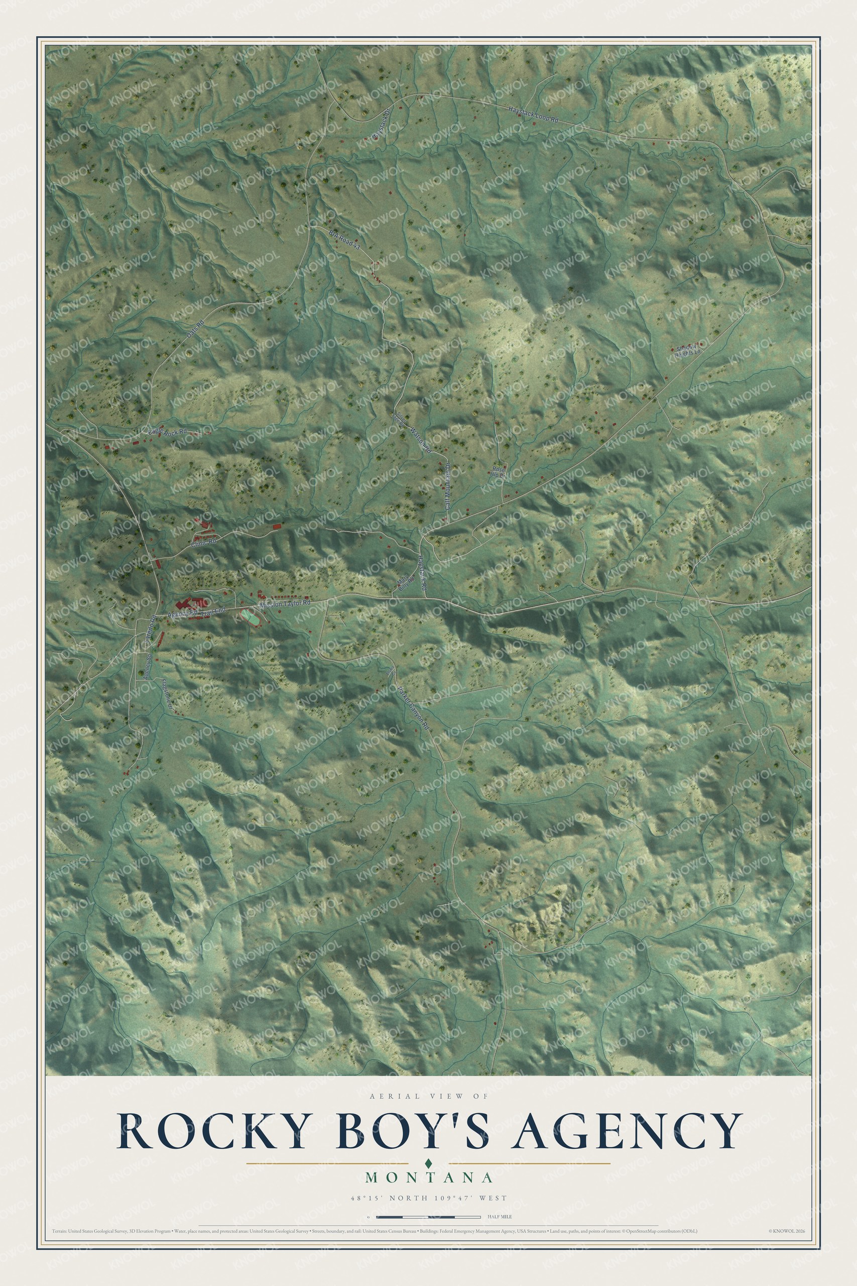
This beautifully detailed map of Rocky Boy's Agency, Montana was created in 2026 using aerial imagery combined with modern topographical, census, street and landmark data. It's a modern aerial view of Rocky Boy's Agency in Hill County, Montana, that combines modern data with a vintage aesthetic. The roads feature printed names, and if you look closely you can find your exact house accurately shown in its correct location.
Explore an aerial view of Rocky Boy's Agency, Montana
On this map you'll find Haystack Road, Mission Taylor Road, Laredo Road, Haystack Loop Road, Parker Canyon Road, Oats Road, Agency Road, Calf Mountain Drive, BIA Road 43, Clinic Road, Watson Road, Eagle Rock Road, and more. Each red shape is a building, so zoom in on the preview and look for yours.
Rocky Boy's Agency has a story worth telling. When the time came to name the reservation, Chief Little Bear's councilors and others chose to honor Chief Rocky Boy, whose Chippewa name was similar to the Cree Ah-si-niw-i-yi-niw, meaning Stone Indian. White men translated it as Rocky Boy. He had died on April 18, 1916, before the reservation was officially given to his people. In those years the spiritual leader Ke-nah-wash spoke to the people every morning from the hill behind the flour mill, and it was said his voice could be heard all the way to Parker Canyon. That's from the Stone Child College tribal history project.
Rocky Boy's Agency is a community in Hill County. The Census Bureau counted 404 people here in 2020.
Take a closer look at the Rocky Boy's Agency map
Names on this map
These names are printed on this map.
Streets and roads: Haystack Road, Mission Taylor Road, Laredo Road, Haystack Loop Road, Parker Canyon Road, Oats Road, Agency Road, Calf Mountain Drive, BIA Road 43, Clinic Road, Watson Road, Eagle Rock Road.
More street names, A to Z
Agency Square, Elsies Circle, Flagstone Drive, Haystack Drive, Mary Billy Road, Rose Hip Drive, Shadow Heights Lane, Silver Sage Road, Trail End.
See it on a wall
The Rocky Boy's Agency map as a framed print. Swipe for more.


Created by KNOWOL in 2026. The buildings are small red shapes, the roads carry their printed names, and shaded relief shows the shape of the land. The title panel reads "AERIAL VIEW OF ROCKY BOY'S AGENCY, MONTANA" with 48°15' NORTH 109°47' WEST.
It looks right in a kitchen, an office or a den, and it's a gift for anyone who grew up in Rocky Boy's Agency or moved away. Open the preview and find your street. See sizes and frames for the Rocky Boy’s Agency map.