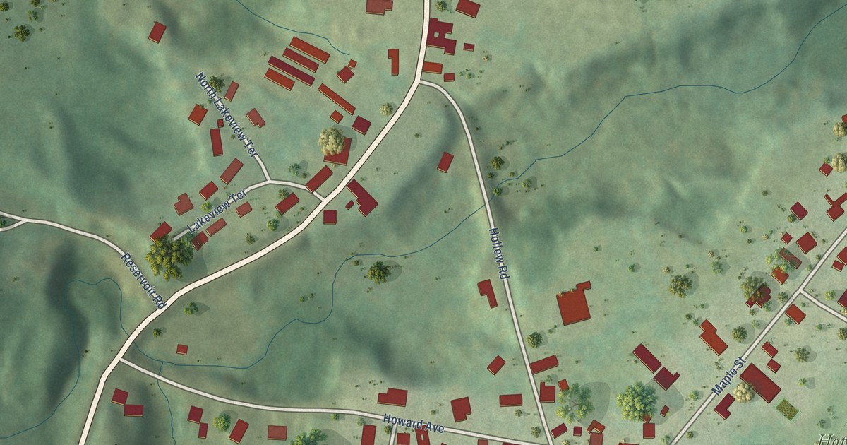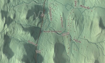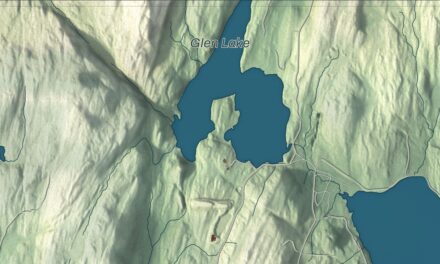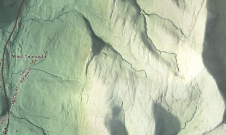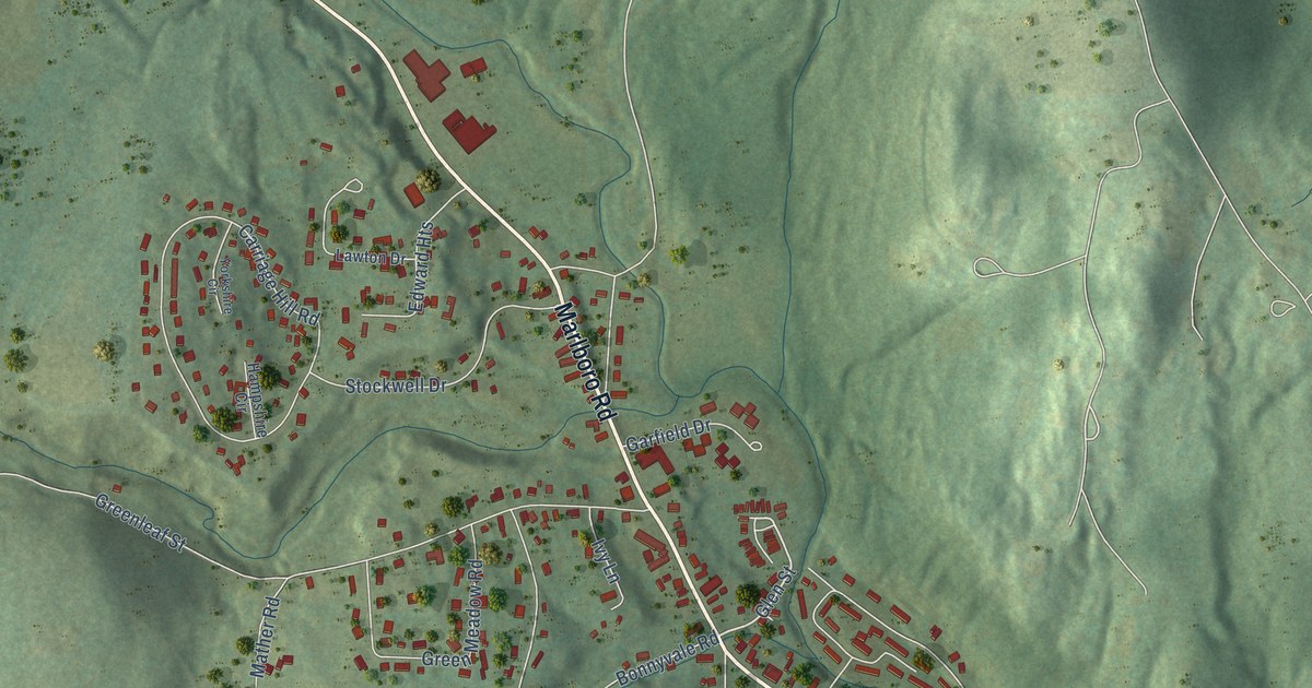
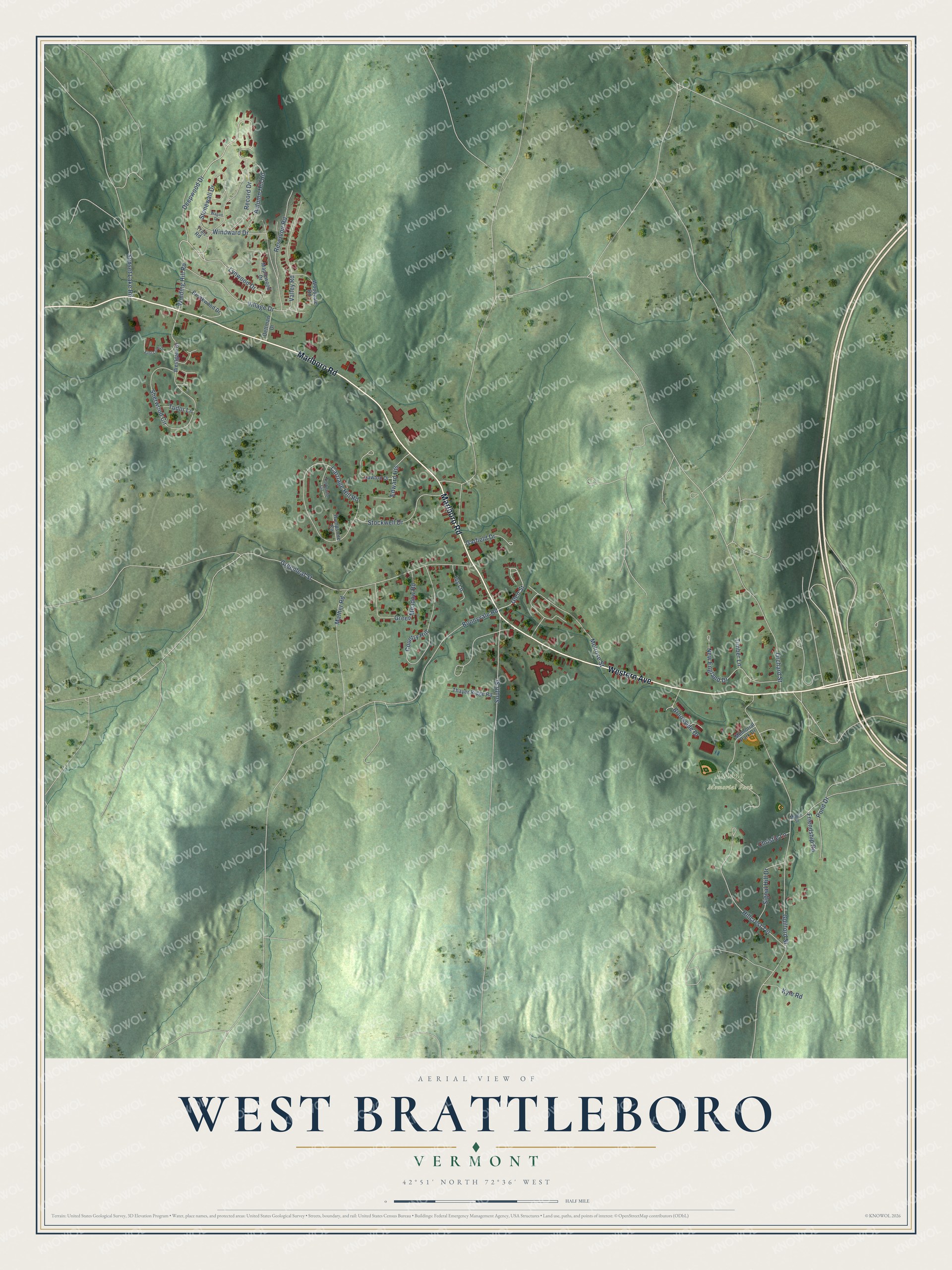
This beautifully detailed map of West Brattleboro, Vermont was created in 2026 using aerial imagery combined with modern topographical, census, street and landmark data. It’s a one-of-a-kind view of West Brattleboro that combines accurate data with a vintage aesthetic. The map shows every building in its true location, many of the roads carry their names, and the shaded topographic relief shows the shape of the land.
Explore an aerial view of West Brattleboro, Vermont
On the map you’ll find Living Memorial Park, along with Western Avenue, Marlboro Road, Deepwood Drive, Winding Hill Road, Glen Street, Guilford Street, Carriage Hill Road, Greenleaf Street, Melrose Street, Sherwood Circle, Bonnyvale Road, and more. West Brattleboro sits about 3 miles northwest of Algiers, 5 miles south of West Dummerston and 9 miles southwest of Putney. If you look closely you can even find your house accurately drawn in its correct location. Zoom in on the preview to look for yours.
Take a closer look at the West Brattleboro map
Names on this map
These names are printed on this map.
Places: Living Memorial Park.
Streets and roads: Western Avenue, Marlboro Road, Deepwood Drive, Winding Hill Road, Glen Street, Guilford Street, Carriage Hill Road, Greenleaf Street, Melrose Street, Sherwood Circle, Bonnyvale Road, Hillcrest Terrace.
More street names, A to Z
Autumn Hill Road, Brookside Drive, Brookwood Drive, Christie Lane, Country Hill, Dettman Drive, Edward Heights, First Level Drive, Friendship Road, Garfield Drive, Green Meadow Road, Hampshire Circle, Ivy Lane, Kyle Road, Lawton Drive, Lynwood Drive, Maple Street, Maplewood Drive, Mather Road, Memorial Park Drive, New England Drive, Orchard Street, Pond Drive, Record Drive, Reservoir Road, Signal Hill Drive, South Street, Stockwell Drive, Stonewall Drive, Sunset Lake Road, Thayer Ridge Road, Timber Lane, Trail Road, Tudor Lane, Valley Road, Village Drive, Wagon Drive, Westgate Drive, Windward Drive, Woodvale Road, Yorkshire Circle.
See it on a wall
The West Brattleboro map as a framed print. Swipe for more.


This beautifully detailed map of West Brattleboro makes an attractive addition to your office, library, or den, and it can even be used to teach children the geography and history of the area. It also makes a great gift for anyone who grew up in West Brattleboro or moved away. When you’re done exploring, click here to get your copy of the West Brattleboro map.