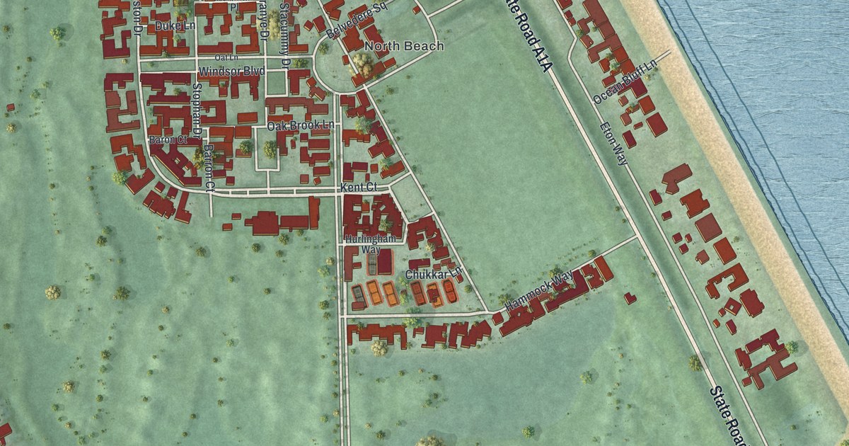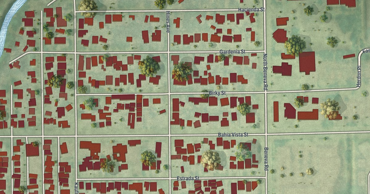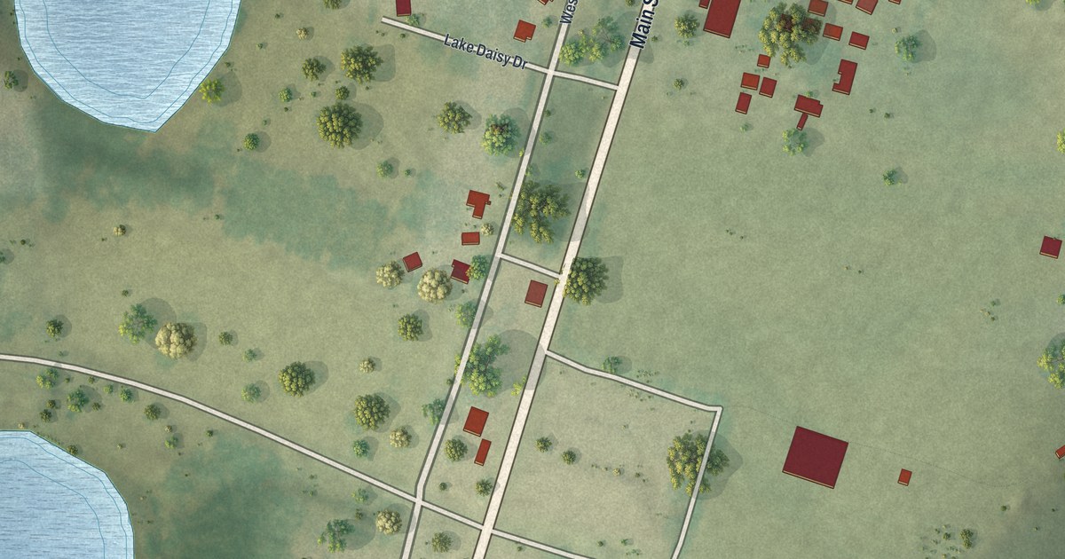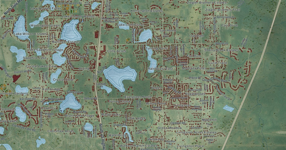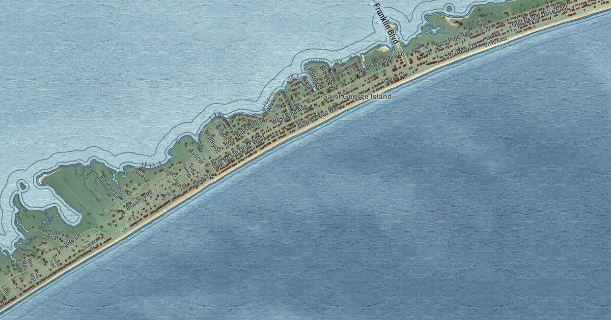
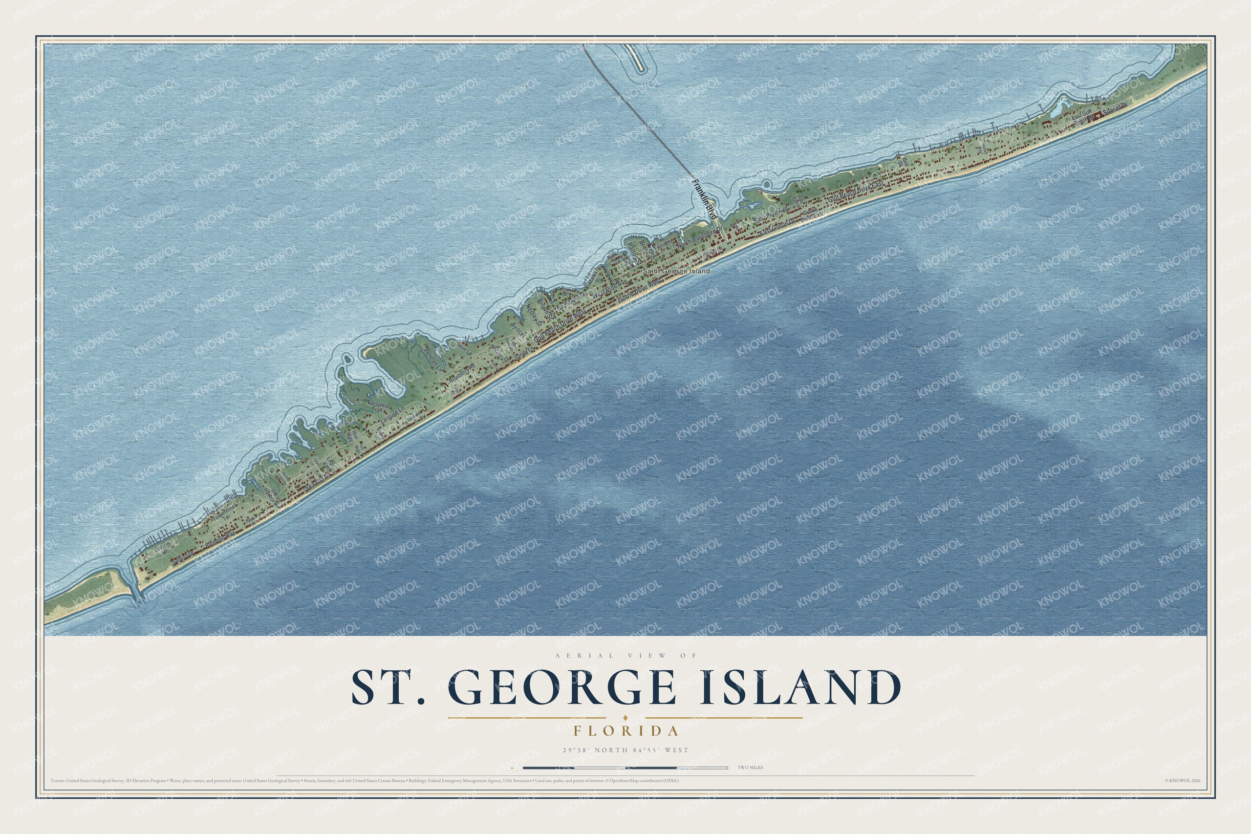
This beautifully detailed map of St. George Island, Florida was created in 2026 using aerial imagery combined with modern topographical, census, street and landmark data. It’s a one-of-a-kind view of St. George Island that combines accurate data with a vintage aesthetic. The map shows every building in its true location, many of the roads carry their names, and the shaded topographic relief shows the shape of the land.
Explore an aerial view of St. George Island, Florida
On the map you’ll find Franklin Boulevard, Leisure Lane, Bayshore Drive, East Gorrie Drive, East Pine Avenue, West Pine Avenue, North Bayshore Drive, Pelican Lane, Bruce Street, Patton Street, Brown Street, and more. If you look closely you can even find your house accurately drawn in its correct location. Zoom in on the preview to look for yours.
Did You Know?
The lighthouse at the center of St. George Island was first built in 1852 at Cape St. George. After 153 years of hurricanes, war and erosion, it fell into the Gulf on October 21, 2005. The St. George Lighthouse Association salvaged the pieces with the state, and the rebuilt light opened to the public in December 2008. It had gone dark during the Civil War, and keeper James Reilly relit the beacon on August 1, 1865. That's from the St. George Lighthouse Association.
Take a closer look at the St. George Island map
Names on this map
These names are printed on this map.
Places: Saint George Island.
Streets and roads: Franklin Boulevard, Gulf Beach Drive West, Leisure Lane, Gulf Beach Drive East, Gorrie Drive West, Bayshore Drive, East Gorrie Drive, East Pine Avenue, West Pine Avenue, North Bayshore Drive, Pelican Lane, Bruce Street.
More street names, A to Z
Acacia Drive, Avocet, Azalea Drive, Bell Street, Blueberry Road, Brown Street, Buck Street, Cook Street, Coquin Drive, Dove Lane, East Gulf Beach Drive, East Sixth Street, Elm Court, Forsythia Trail, Gorrie Drive, Gorrie Drive East, Guava Trail, Gunn Street, Harbor Light Lane, Ibis Way, Indian Harbor Road, Ivy Way, Land Street, Lark Lane, Lilac Lane, Marks Street, Mc Cloud Street, Nedley Street, Palmetto Way, Patton Street, Russell Way, Sailfish Drive, Sandy Lane, Sea Dune Drive, Sea Oat Drive, Seaside Drive, Sunset Drive, Tarpon Lane, Turpentine Terrace.
See it on a wall
The St. George Island map as a framed print. Swipe for more.


This beautifully detailed map of St. George Island makes an attractive addition to your office, library, or den, and it can even be used to teach children the geography and history of the area. It also makes a great gift for someone who left St. George Island and still calls it home. When you’re done exploring, click here to get your copy of the St. George Island map.