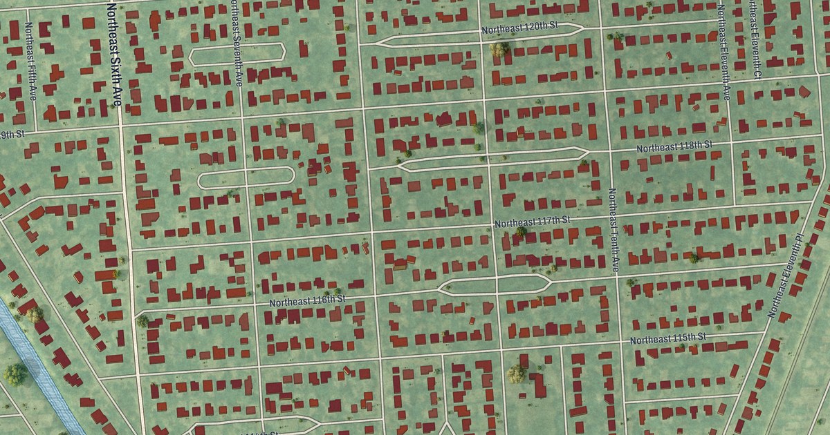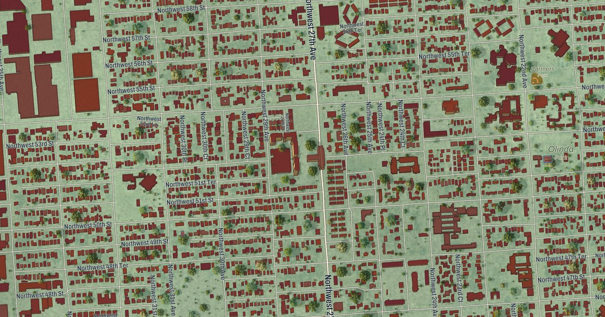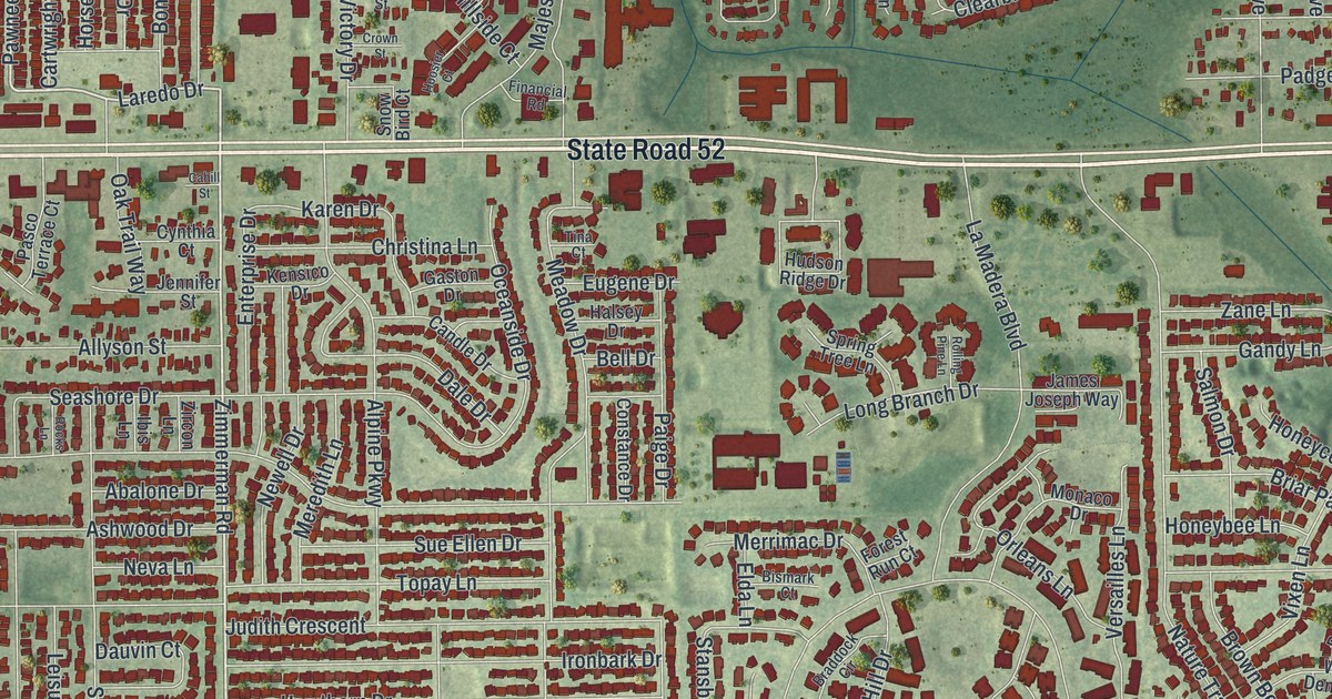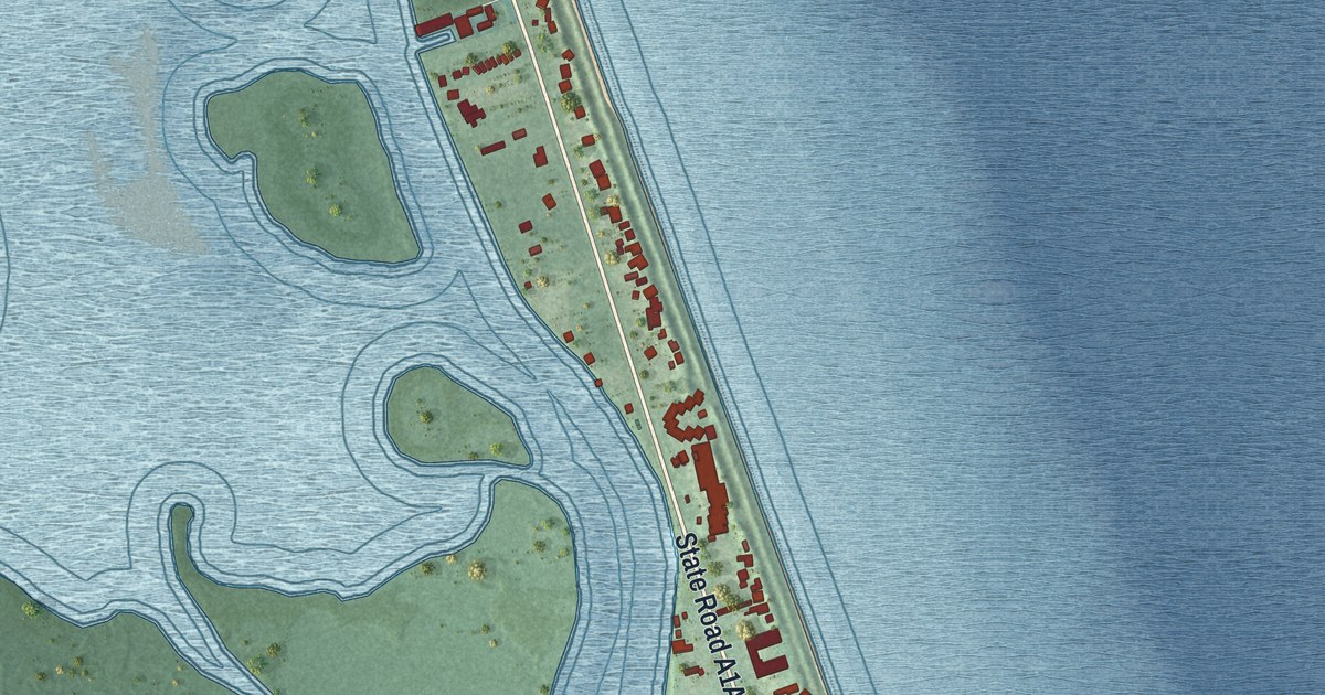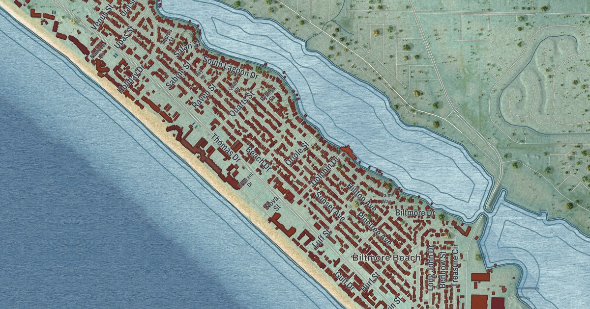
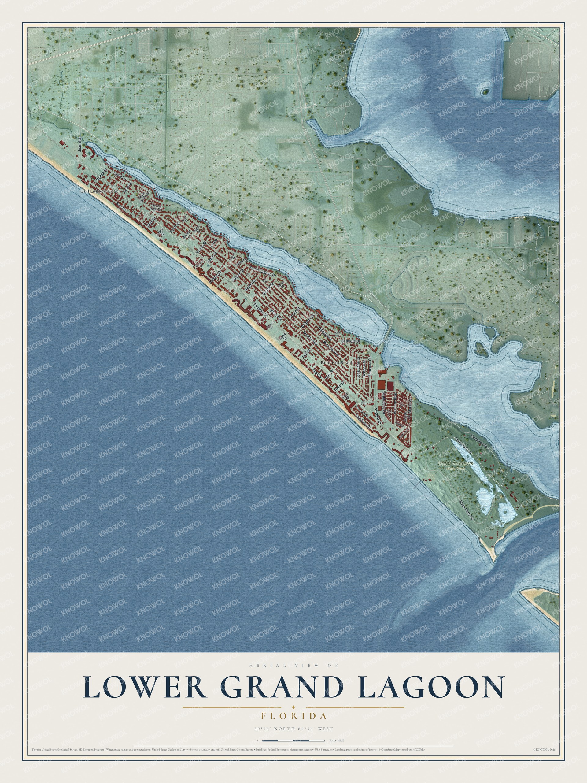
This beautifully detailed map of Lower Grand Lagoon, Florida was created in 2026 using aerial imagery combined with modern topographical, census, street and landmark data. It’s a one-of-a-kind view of Lower Grand Lagoon that combines accurate data with a vintage aesthetic. The map shows every building in its true location, many of the roads carry their names, and the shaded topographic relief shows the shape of the land.
Explore an aerial view of Lower Grand Lagoon, Florida
On the map you’ll find Gulf Lagoon Beach, Biltmore Beach, and Saint Andrews State Park, along with State Park Lane, Lydia Lane, Thomas Drive, South Lagoon Drive, Beach Drive, Sunset Avenue, State Park Circle, Pinetree Avenue, Gulf Drive, and more. If you look closely you can even find your house accurately drawn in its correct location. Zoom in on the preview to look for yours.
Did You Know?
St. Andrews State Park sits at the pass between St. Andrew Bay and the Gulf of Mexico. During World War II its land was part of the St. Andrews Military Reservation, and a platoon of the 13th Coast Artillery manned two coastal guns on the dunes to help guard Panama City's harbor. That's from the Florida Division of Recreation and Parks.
Take a closer look at the Lower Grand Lagoon map
Names on this map
These names are printed on this map.
Places: Gulf Lagoon Beach, Biltmore Beach and Saint Andrews State Park.
Streets and roads: State Park Lane, Lydia Lane, Thomas Drive, South Lagoon Drive, Beach Drive, Sunset Avenue, State Park Circle, Pinetree Avenue, Gulf Drive, Hilltop Avenue, Treasure Circle, Surf Drive.
More street names, A to Z
Benbow Street, Biltmore Drive, Bonita Street, Campers Drive, Creek Street, Crescent Drive, Dolphin Drive, Dolphin Lane, Gulf Loop, Hispaniola Street, Holiday Drive, Huff Street, Hurt Street, Irwin Street, Joan Avenue, Long John Drive, Luff Street, Marlin Drive, Nancee Drive, Nova Street, Ocean Street, Ocean View Drive, Oriole Street, Palm Way, Python Street, Quail Street, Quarts Street, Raven Street, Ray Street, Sabine Street, Safari Street, Seabreeze Drive, Seal Drive, Silver Sands Road, Silver Street, Snook Lane, Spyglass Drive, Tarpon Drive, Taurus Street, Upas Street, Ural Street, Utes Drive, Vega Street, Venture Boulevard, Venus Street, Walnut Street, Wasp Street, Xavier Street.
See it on a wall
The Lower Grand Lagoon map as a framed print. Swipe for more.


This beautifully detailed map of Lower Grand Lagoon makes an attractive addition to your office, library, or den, and it can even be used to teach children the geography and history of the area. It also makes a great gift for anyone with Lower Grand Lagoon roots. When you’re done exploring, click here to get your copy of the Lower Grand Lagoon map.