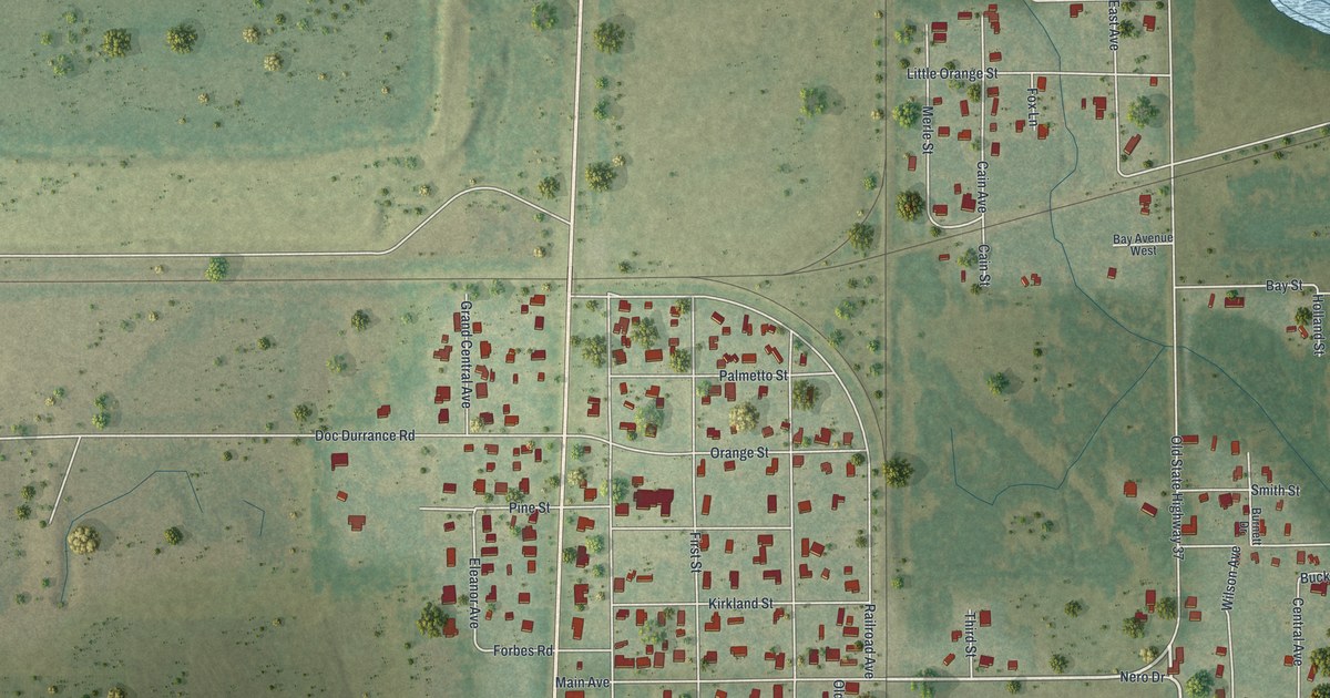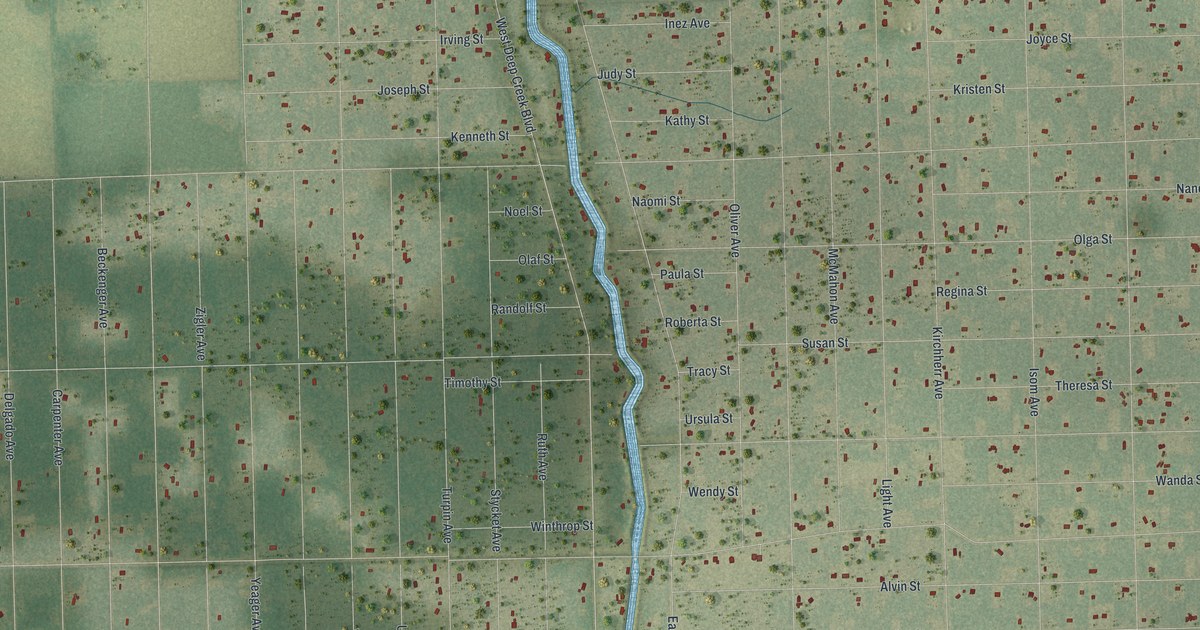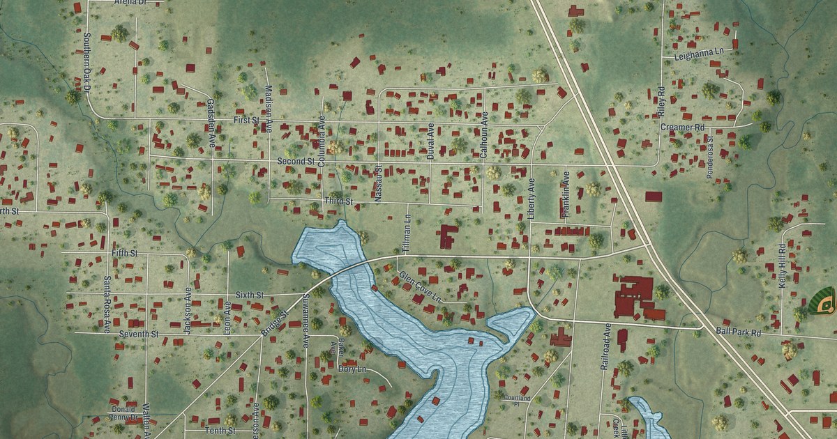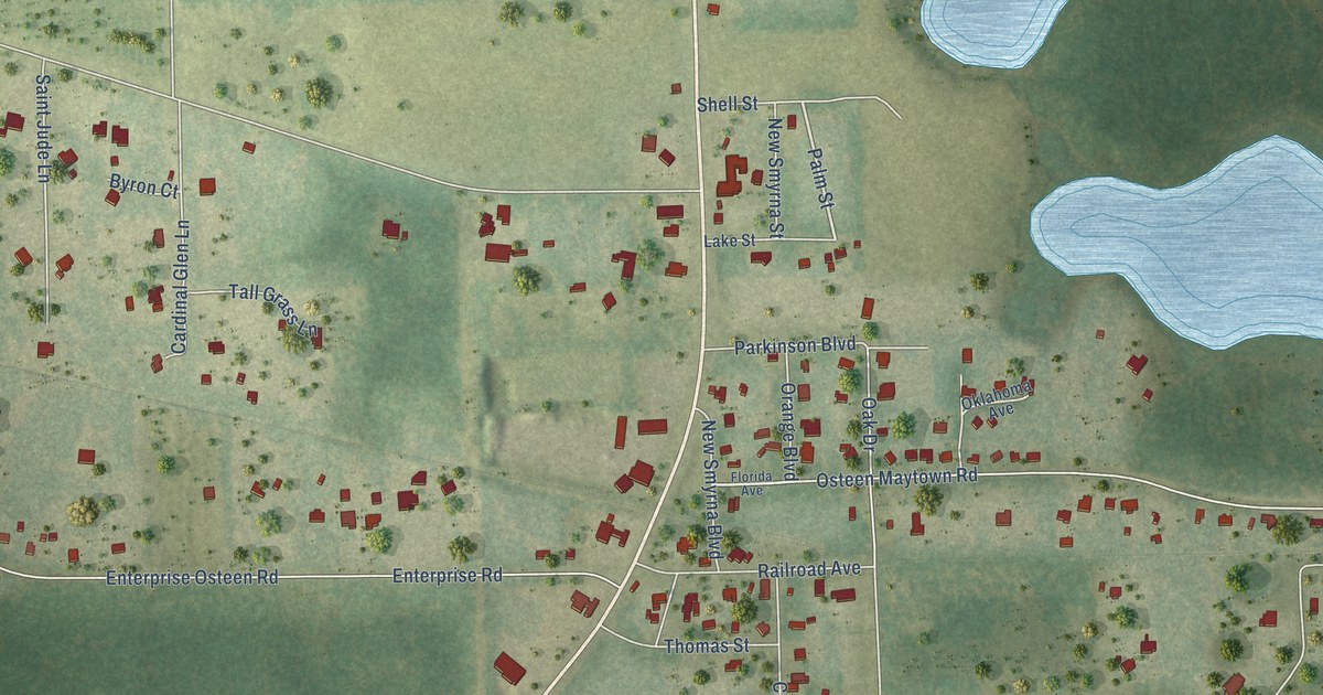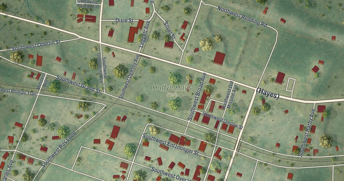
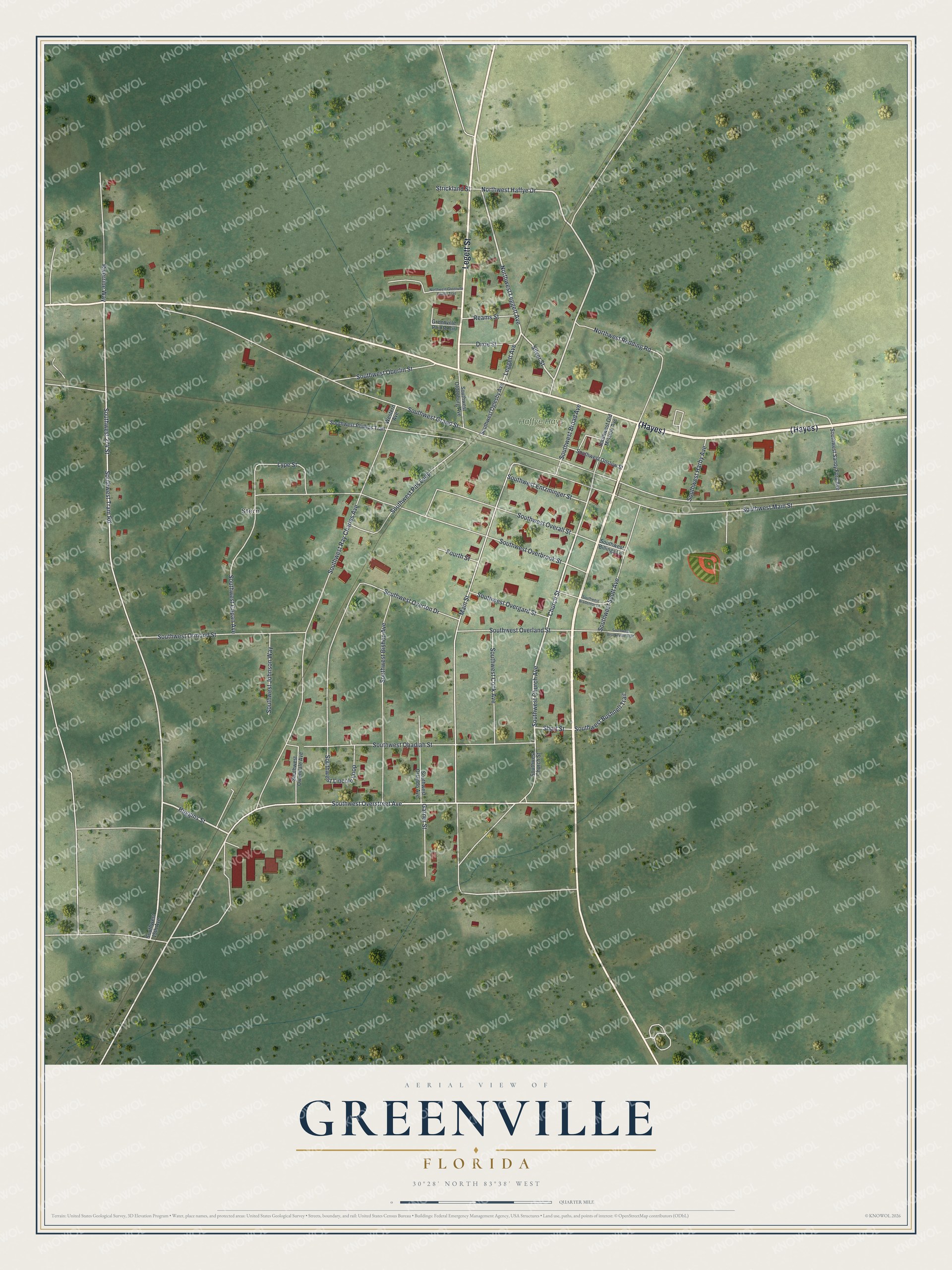
This beautifully detailed map of Greenville, Florida was created in 2026 using aerial imagery combined with modern topographical, census, street and landmark data. It’s a one-of-a-kind view of Greenville that combines accurate data with a vintage aesthetic. The map shows every building in its true location, many of the roads carry their names, and the shaded topographic relief shows the shape of the land.
Explore an aerial view of Greenville, Florida
On the map you’ll find Stern, Haffye Hays Park, and (Hayes), along with Legett Street, Southwest Church Avenue, Southwest 274 Street, Church Street, Huggins Street, Southwest Tram Road, Southwest Overstreet Avenue, Northwest Haffye Drive, Northwest Leggett Avenue, and more. If you look closely you can even find your house accurately drawn in its correct location. Zoom in on the preview to look for yours.
Did You Know?
The town was first called Sandy Ford, then Station Five during the Civil War for its place on the railroad. In that war, a women’s sewing circle here sewed for Confederate soldiers. Afterward, residents named the town for the birthplace of the circle’s president, Mrs. U.M. Roberts: Greenville, North Carolina.
Take a closer look at the Greenville map
Names on this map
These names are printed on this map.
Places: Stern and Haffye Hays Park.
Streets and roads: Legett Street, Southwest Church Avenue, Southwest 274 Street, Church Street, Huggins Street, Southwest Tram Road, Southwest Overstreet Avenue, Northwest Haffye Drive, Northwest Leggett Avenue, Silver Street, Leggett Avenue, Main Street.
More street names, A to Z
Dixie Street, Fourth Street, Garner Street, Greenville Pointe Circle, Lype Street, Northwest Greenvlle Pointe Trail, Northwest Redding Road, Reams Street, Riverrine Way, Short Street, Southwest 15th Avenue, Southwest Billings Lane, Southwest Bishop Avenue, Southwest Bradenton Lane, Southwest Broad Avenue, Southwest Brooksville Trail, Southwest Bushnell Trail, Southwest Capan Avenue, Southwest Church Street, Southwest Cook Avenue, Southwest Entzminger Street, Southwest Grand Street, Southwest Harby Avenue, Southwest Johnson Way, Southwest Lincoln Loop, Southwest Main Street, Southwest Obadiah Street, Southwest Oberlin Street, Southwest Oglesby Avenue, Southwest Oldenburg Avenue, Southwest Old Mission Avenue, Southwest Onslow Street, Southwest Orlando Avenue, Southwest Ormond Street, Southwest Overall Street, Southwest Overbrook Street, Southwest Overgard Street, Southwest Overland Street, Southwest Overton Drive, Southwest Owendale Avenue, Southwest Phillips Trail, Southwest Pits Loop, Southwest Ray Charles Avenue, Southwest Sandy Ford Avenue, Southwest Scott Avenue, Strickland Street, Western Avenue.
See it on a wall
The Greenville map as a framed print. Swipe for more.


This beautifully detailed map of Greenville makes an attractive addition to your office, library, or den, and it can even be used to teach children the geography and history of the area. It also makes a great gift for anyone who grew up in Greenville or moved away. When you’re done exploring, click here to get your copy of the Greenville map.