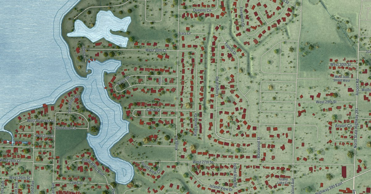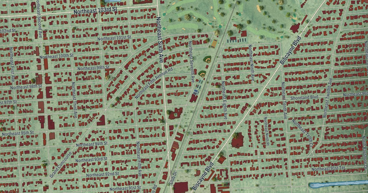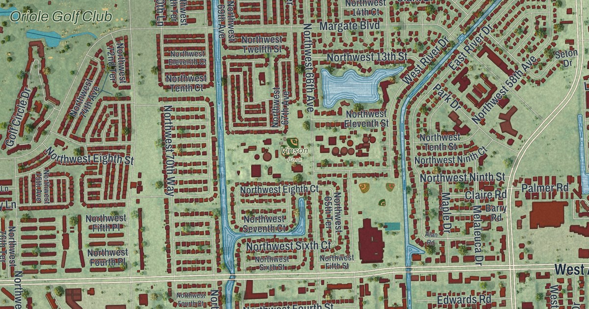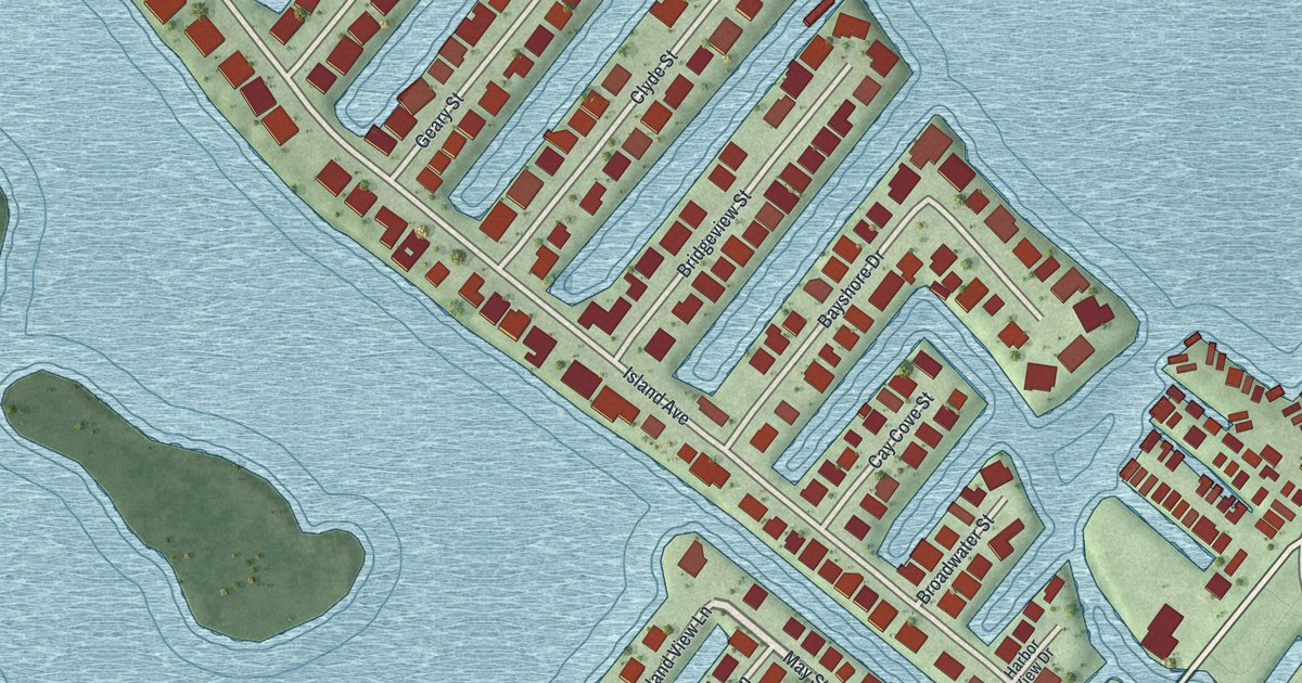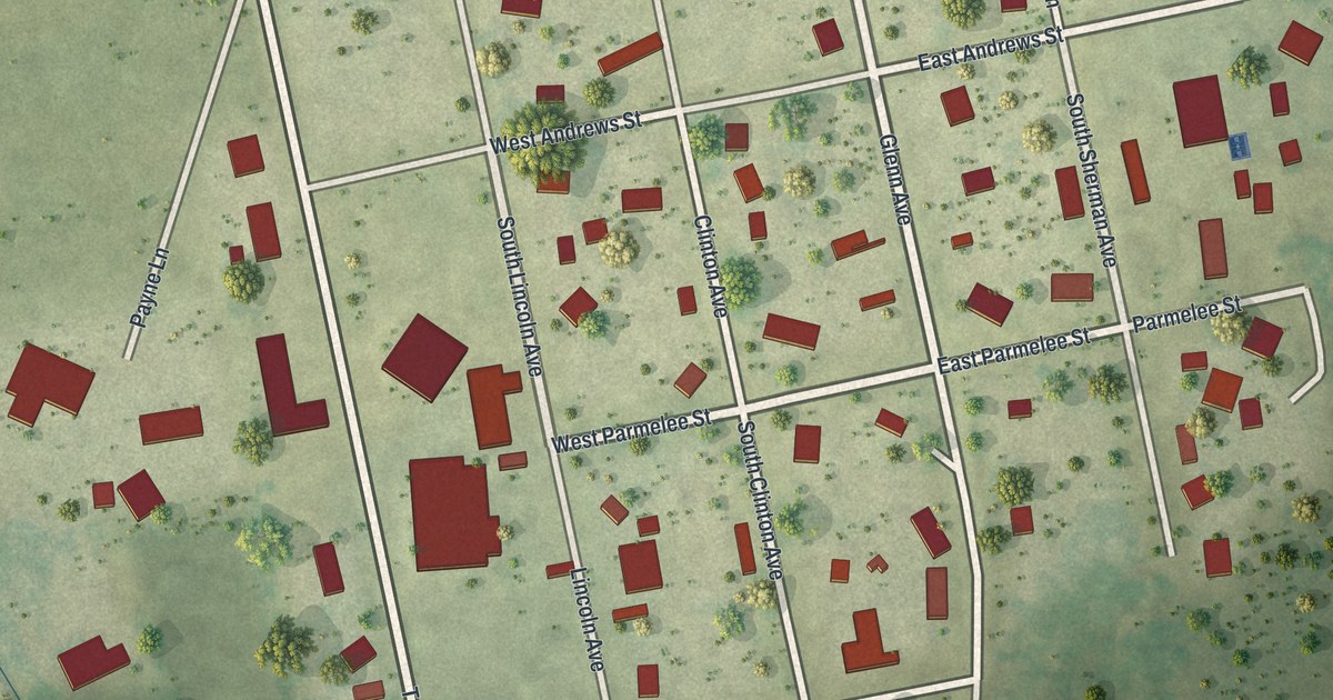
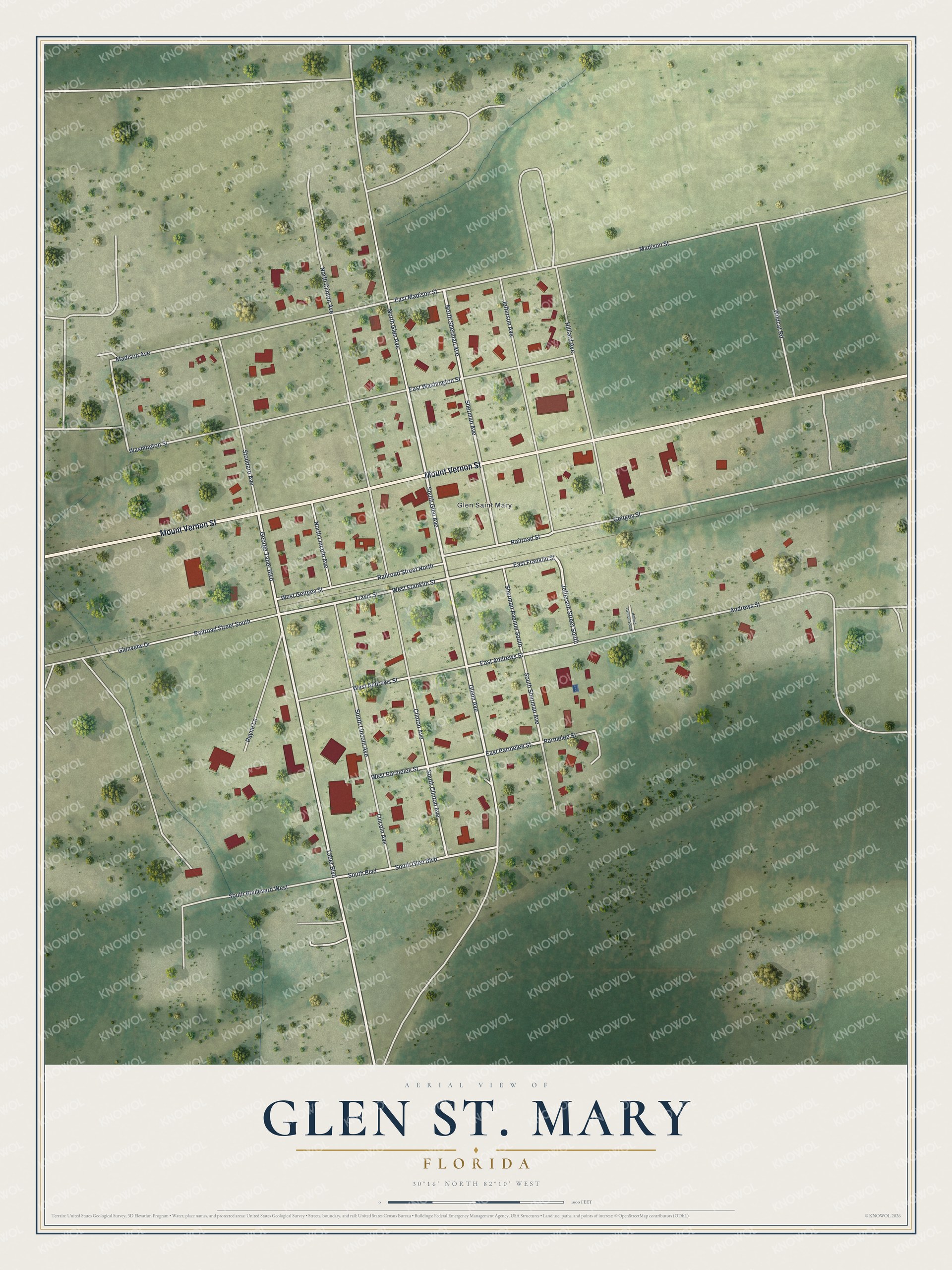
This beautifully detailed map of Glen St. Mary, Florida was created in 2026 using aerial imagery combined with modern topographical, census, street and landmark data. It’s a one-of-a-kind view of Glen St. Mary that combines accurate data with a vintage aesthetic. The map shows every building in its true location, many of the roads carry their names, and the shaded topographic relief shows the shape of the land.
Explore an aerial view of Glen St. Mary, Florida
On the map you’ll find Mount Vernon Street, South Glen Avenue, West Parmelee Street, East Washington Street, North Sherman Avenue, Travis Street, Sherman Avenue, South Lincoln Avenue, Jefferson Street South, Taber Boulevard, East Andrews Street, and more. If you look closely you can even find your house accurately drawn in its correct location. Zoom in on the preview to look for yours.
Did You Know?
George Taber Sr. founded Glen Saint Mary Nurseries here in 1882. After the hard freezes of 1894 and 1895, he tested cold-hardy citrus such as kumquats and satsumas. Within twenty years it was one of the country’s leading citrus producers. The Taber azalea, introduced in 1929, grows on the U.S. Capitol grounds.
Take a closer look at the Glen St. Mary map
Names on this map
These names are printed on this map.
Places: Glen Saint Mary.
Streets and roads: Mount Vernon Street, South Glen Avenue, West Parmelee Street, East Washington Street, North Sherman Avenue, Travis Street, Sherman Avenue, South Lincoln Avenue, Jefferson Street South, Taber Boulevard, East Andrews Street, East Parmelee Street.
More street names, A to Z
Andrews Street, Clinton Avenue, East Franklin Street, East Madison Street, Geitgey Street, George Taber Boulevard, Glenn Avenue, Glenveiw Drive, Hilliard Avenue, Hilliard Avenue South, Jefferson Avenue, Lincoln Avenue, Madison Avenue, Madison Street, North Clinton Avenue, North Glen Avenue, North Lincoln Avenue, Parmelee Street, Payne Lane, Railroad Street, Railroad Street North, Railroad Street South, Sherman Avenue South, South Boulevard, South Boulevard West, South Clinton Avenue, South Glen Boulevard, South Sherman Avenue, Stoddard Avenue, Washington Street, West Andrews Street, West Franklin Street, West Geitgey Street, Wildcat Road.
See it on a wall
The Glen St. Mary map as a framed print. Swipe for more.


This beautifully detailed map of Glen St. Mary makes an attractive addition to your office, library, or den, and it can even be used to teach children the geography and history of the area. It also makes a great gift for anyone who grew up in Glen St. Mary or moved away. When you’re done exploring, click here to get your copy of the Glen St. Mary map.