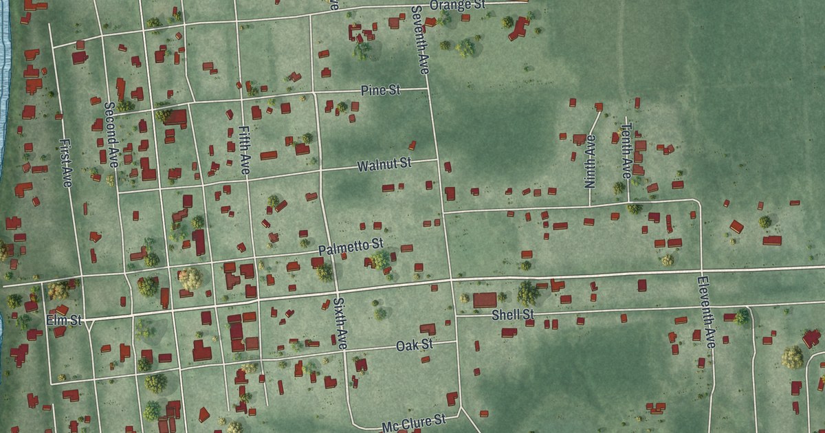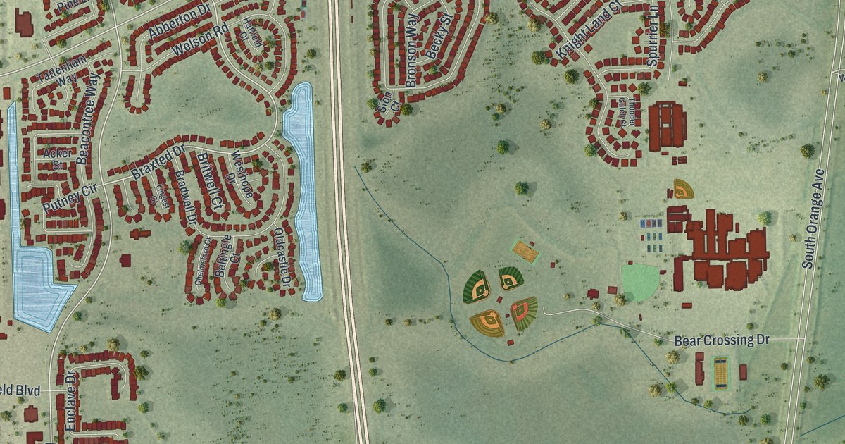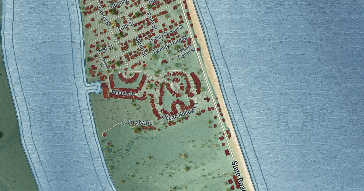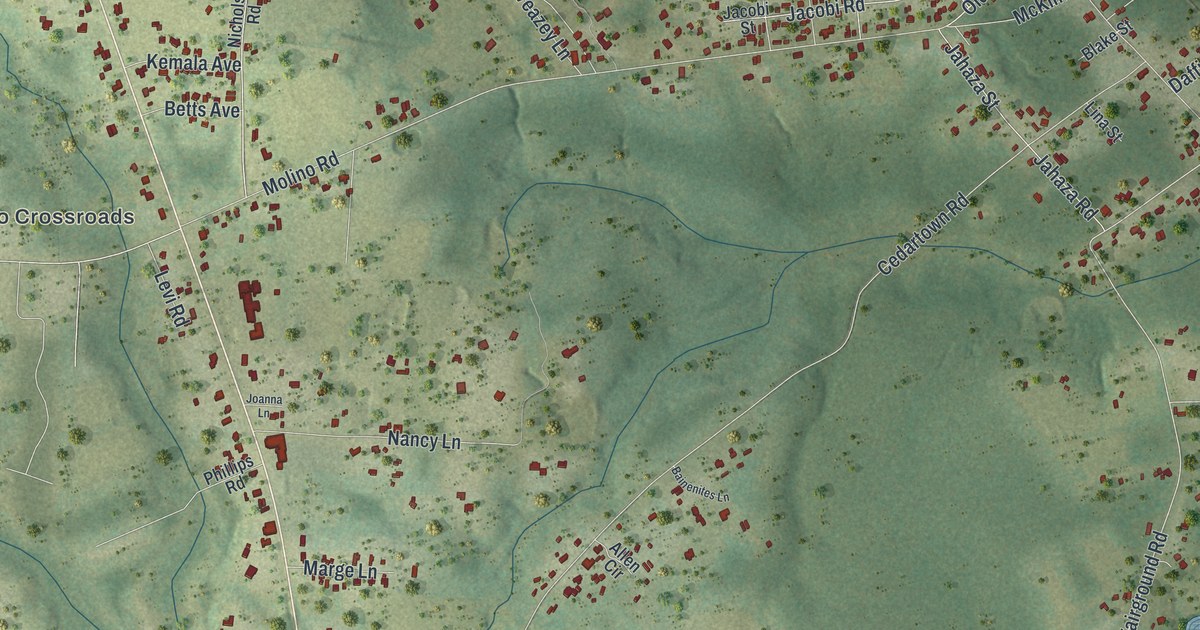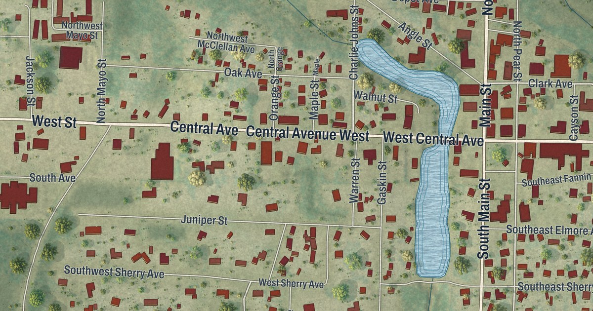
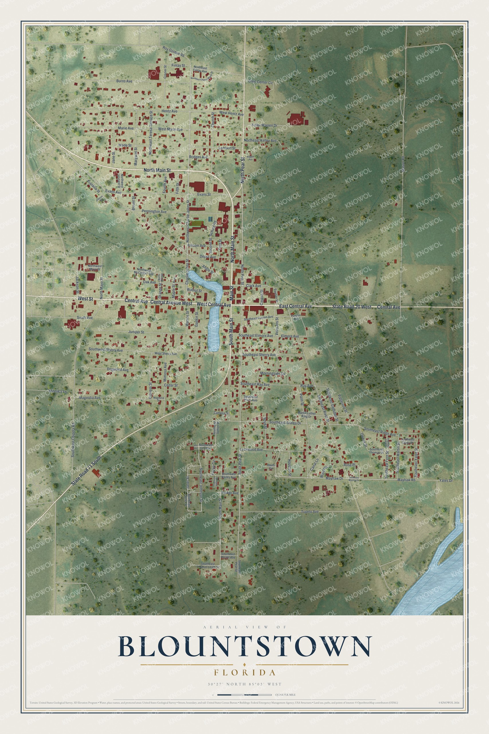
This beautifully detailed map of Blountstown, Florida was created in 2026 using aerial imagery combined with modern topographical, census, street and landmark data. It’s a one-of-a-kind view of Blountstown that combines accurate data with a vintage aesthetic. The map shows every building in its true location, many of the roads carry their names, and the shaded topographic relief shows the shape of the land.
Explore an aerial view of Blountstown, Florida
On the map you’ll find North Main Street, East Central Avenue, Main Street, West Street, Central Avenue, South Main Street, West Central Avenue, State Road 71 South, State Road 20 West, North Pear Street, Central Avenue West, Mayhaw Drive, and more. If you look closely you can even find your house accurately drawn in its correct location. Zoom in on the preview to look for yours.
Did You Know?
Blountstown is named for John Blount, a Creek chief who guided General Andrew Jackson in 1818. Jackson awarded him land here. Under the Indian Removal Act, Blount was forced to move to Texas in the 1830s, and he died soon after.
Take a closer look at the Blountstown map
Names on this map
These names are printed on this map.
Streets and roads: North Main Street, East Central Avenue, Main Street, West Street, Central Avenue, South Main Street, West Central Avenue, State Road 71 South, State Road 20 West, North Pear Street, Central Avenue West, Mayhaw Drive.
More street names, A to Z
Angle Street, Baggett Avenue, Blount Street, Boyd Street, Bridges Avenue, Burns Avenue, Camelia Drive, Canal Lane, Cayson Street, Cedar Street, Charlie Johns Street, Church Street, Civic Center Circle, Clark Avenue, Crozier Street, Cypress Street, Davis Circle, Depot Avenue, Dogwood Avenue, Elmore Avenue, Evans Avenue, Evans Street, Fannin Avenue, Fifth Street, Finlay Street, First Street, Folsom Avenue, Fourth Avenue, Franklin Street, Fuller Warren Drive, Fuqua Circle, Gaskin Street, Hentz Avenue, Houston Street, Iola Avenue, Jackson Street, Jane Street, Janet Street, Juniper Street, Lambert Street, Lockwood Avenue, Magnolia Avenue, Magnolia Street, Maple, Maple Street, Margaret Street, Marie Avenue, Martin Luther King Drive, Mason Road, Mayhaw Road, Mimosa Avenue, Minnie's Lane, Morningside Circle, Northeast Chipola Manor Drive, Northeast Finlay Avenue, Northeast Kelley Avenue, Northeast Teresa Terrace Street, North Mayo Street, North Orange, Northwest Charlie Johns Street, Northwest Leonard Street, Northwest Mayo Street, Northwest McClellan Avenue, Oak Avenue, Orange Street, Owens Street, Palm Street, Parker Avenue, Patterson Street, Pennington Avenue, Pittman Drive, Rauson Street, Ray Avenue, Rose Place, Roy Golden Road, School Road, Second Street, South Avenue, Southeast Arrant Avenue, Southeast Azalea Drive, Southeast Bailey Avenue, Southeast Carey Drive, Southeast Elmore Avenue, Southeast Fannin Avenue, Southeast Fern Street, Southeast Gadsden Street, Southeast Iola Avenue, Southeast Janet Street, Southeast Jeffrey Street, Southeast Johnson Street, Southeast Martin Street, Southeast Mayhaw Drive, Southeast Pear Street, Southeast Plum Avenue, Southeast Ray Avenue, Southeast Ridge Avenue, Southeast River Street, Southeast Sherry Avenue, Southeast Smith Street, Southeast Sutton Street, Southeast Thomas Drive, Southeast Thomas Leath Drive, Southeast Yates Street, South Pear Street, Southwest Chipola Road, Southwest Sherry Avenue, Tupelo Avenue, Veterans Street, Wade Street, Walnut Street, Ward Road, Warren Street, West Hentz Avenue, West Marie Avenue, West Sherry Avenue, Yates Drive.
See it on a wall
The Blountstown map as a framed print. Swipe for more.


This beautifully detailed map of Blountstown makes an attractive addition to your office, library, or den, and it can even be used to teach children the geography and history of the area. It also makes a great gift for anyone with Blountstown roots. When you’re done exploring, click here to get your copy of the Blountstown map.