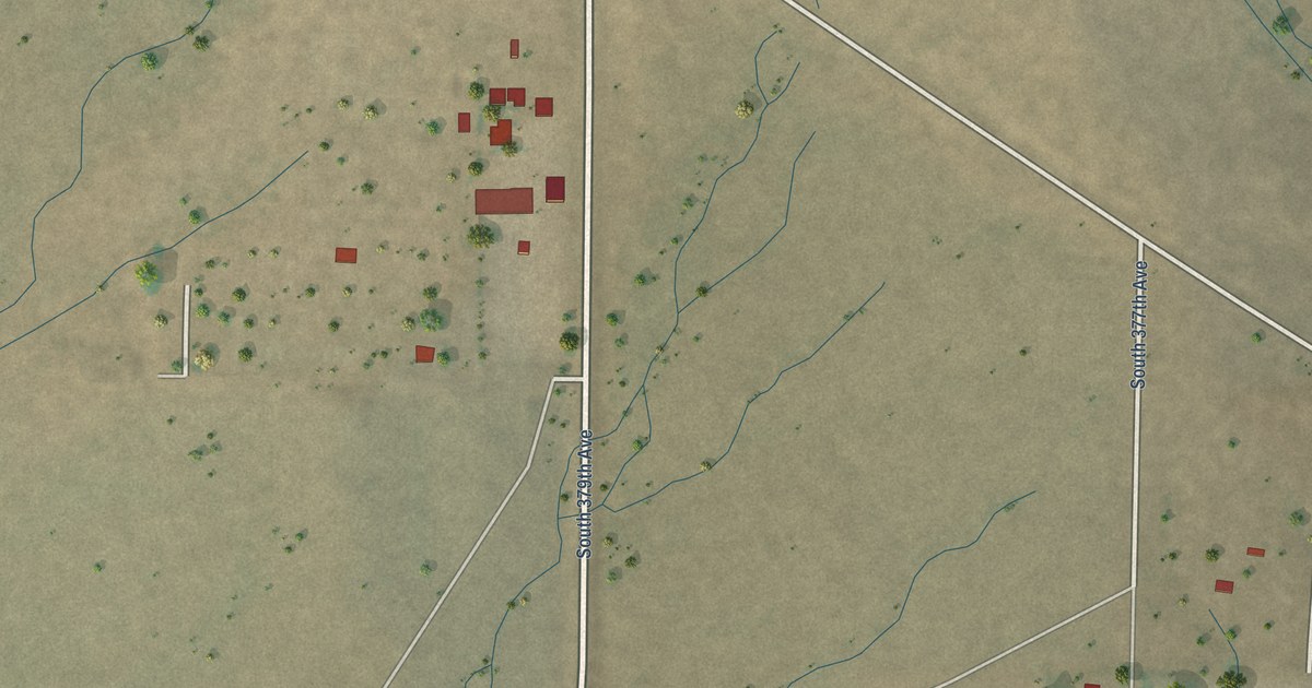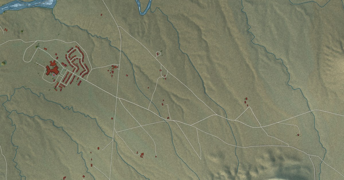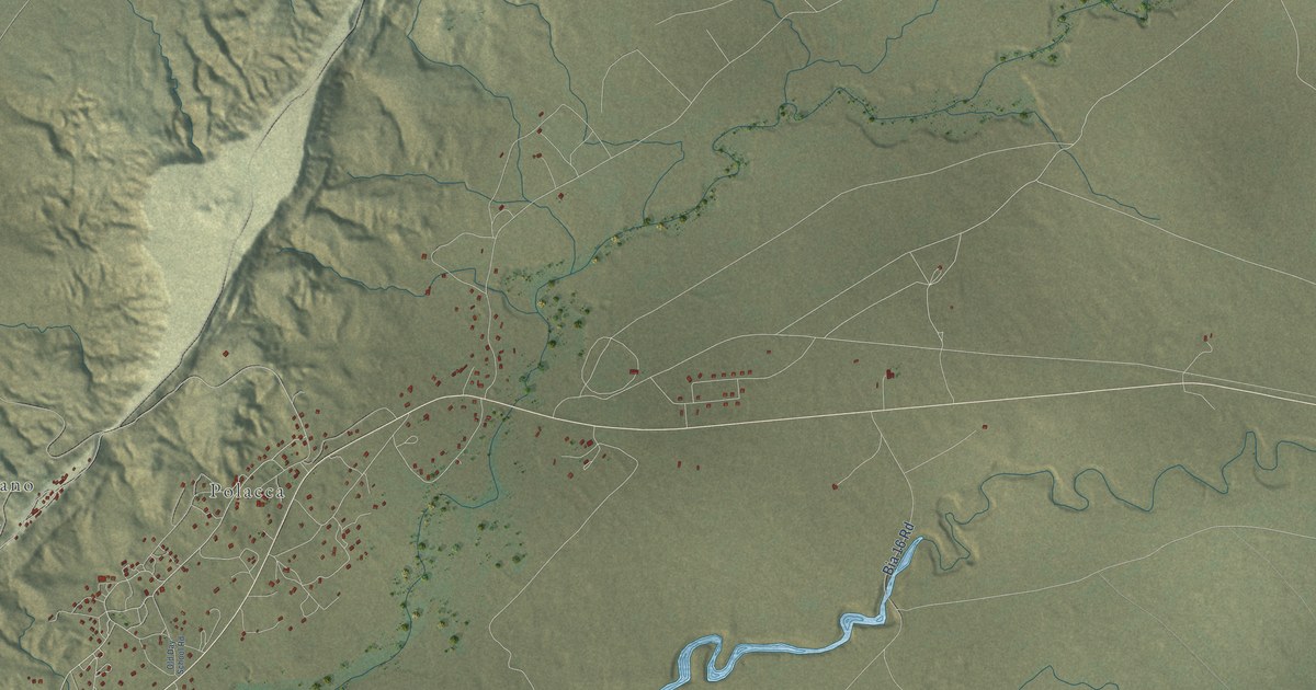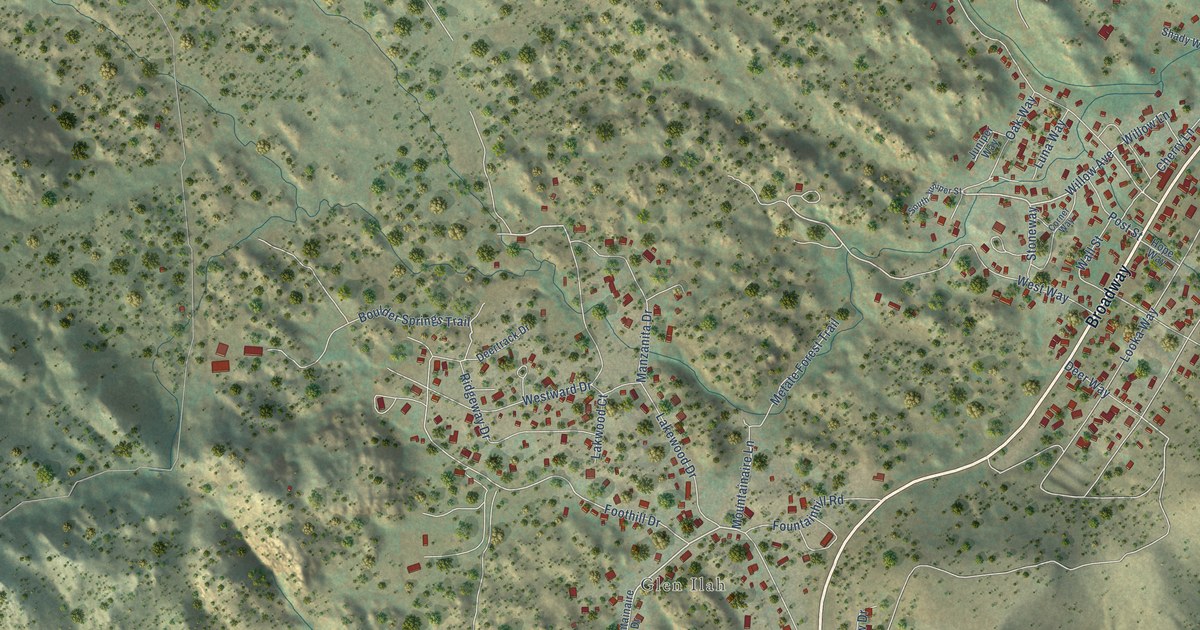
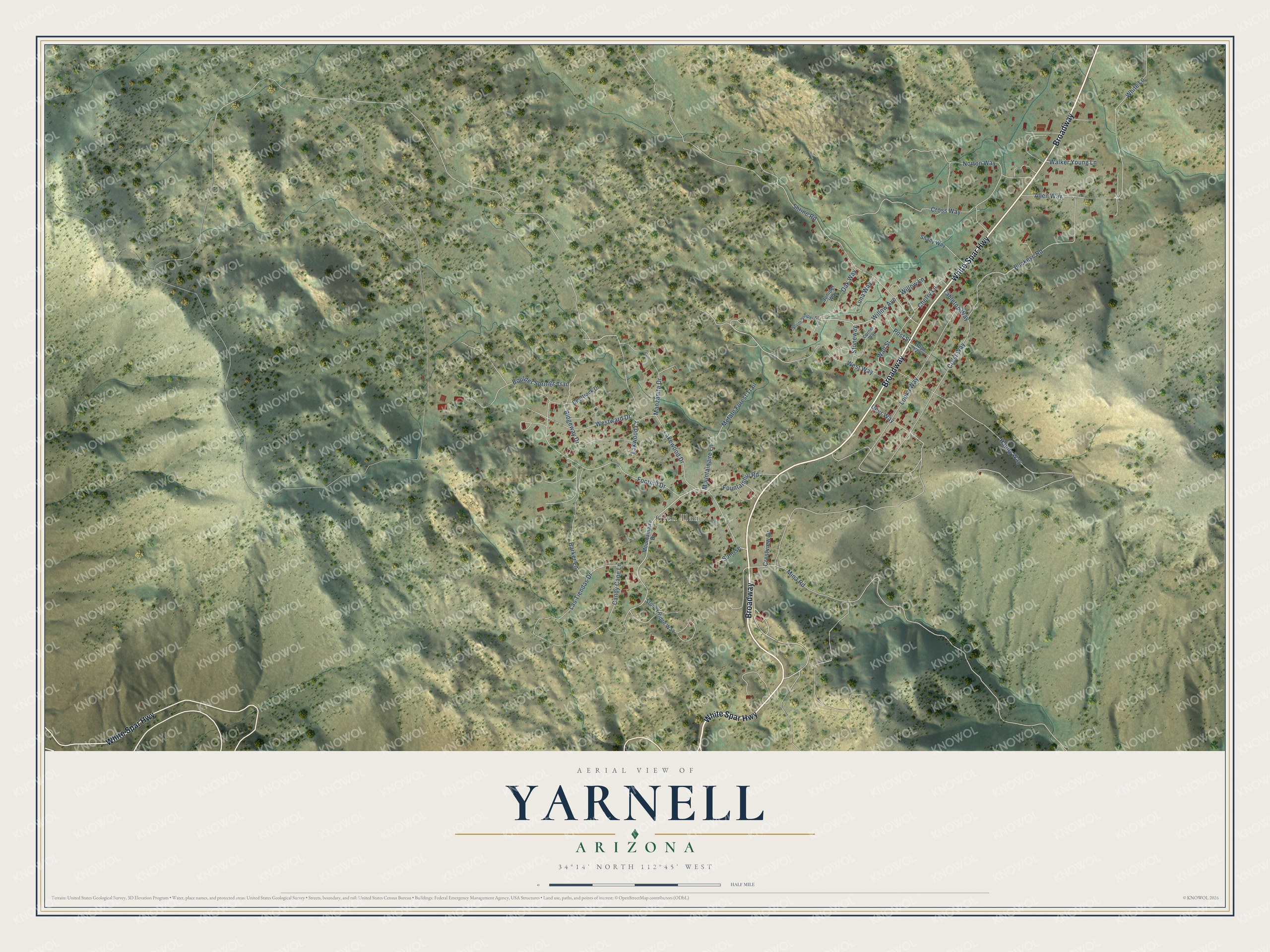
This beautifully detailed map of Yarnell, Arizona was created in 2026 using aerial imagery combined with modern topographical, census, street and landmark data. It’s a one-of-a-kind view of Yarnell that combines accurate data with a vintage aesthetic. The map shows every building in its true location, many of the roads carry their names, and the shaded topographic relief shows the shape of the land.
Explore an aerial view of Yarnell, Arizona
On the map you’ll find Glen Ilah and Broadway, along with White Spar Highway, Willow Avenue, Willow Lane, Mountainaire Lane, Mina Road, Ridgeway Drive, Foothill Drive, Lakewood Drive, Happy Way, White Lane, and more. Yarnell sits about 3 miles south of Peeples Valley, 8 miles northeast of Congress and 15 miles southwest of Wilhoit. If you look closely you can even find your house accurately drawn in its correct location. Zoom in on the preview to look for yours.
Take a closer look at the Yarnell map
Names on this map
These names are printed on this map.
Places: Glen Ilah.
Streets and roads: White Spar Highway, Broadway, Willow Avenue, Willow Lane, Mountainaire Lane, Mina Road, Ridgeway Drive, Foothill Drive, Lakewood Drive, Happy Way, White Lane, Cross Way.
More street names, A to Z
Allen Way, Barker Lane, Boulder Springs Trail, Buckeye Road, Candy Cane Lane, Cherry Lane, Corner Way, Crestview Drive, Crest Way, Deertrack Drive, Deer Way, Fountainhill Road, Hope Way, Juniper Way, Lakwood Court, Las Tiendas Drive, Looka Way, Luna Way, Manzanita Drive, Metate Forest Trail, Mountainaire Drive, Norton Way, Oak Way, Post Street, Shady Way, Shrine Road, South Juniper Street, Stoneway, Stoney Ridge Way, Sunrise, Tabletop Way, Walker Young Lane, Wall Street, Westward Drive, West Way.
See it on a wall
The Yarnell map as a framed print. Swipe for more.


This beautifully detailed map of Yarnell makes an attractive addition to your office, library, or den, and it can even be used to teach children the geography and history of the area. It also makes a great gift for anyone with Yarnell roots. When you’re done exploring, click here to get your copy of the Yarnell map.