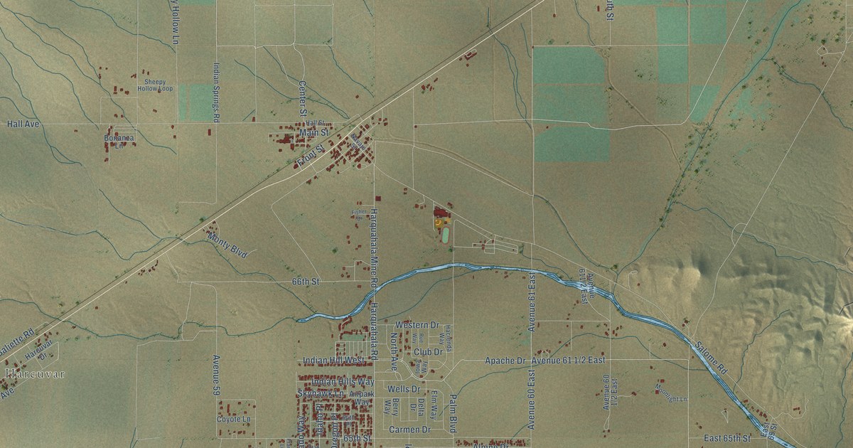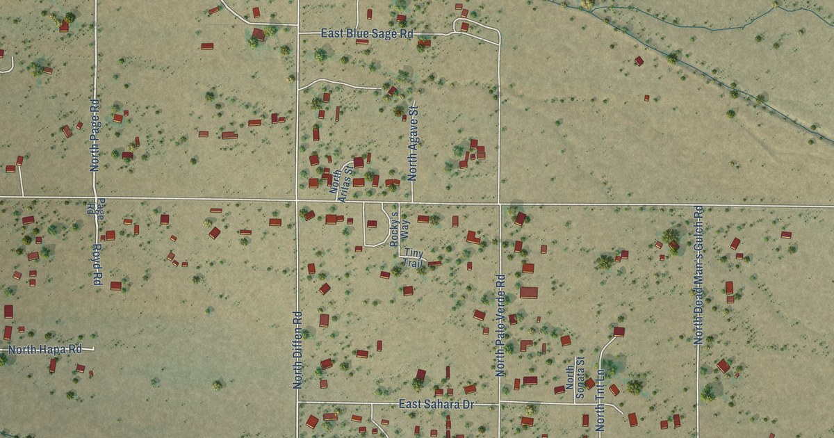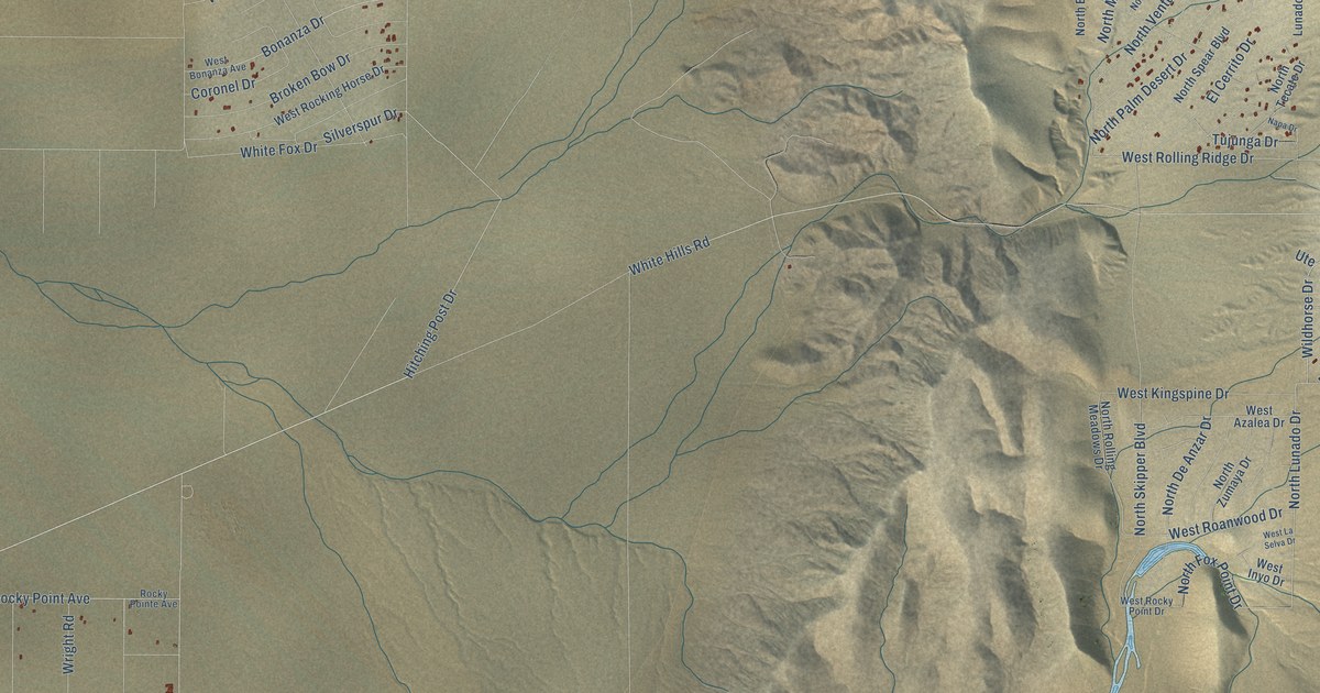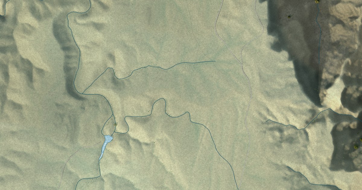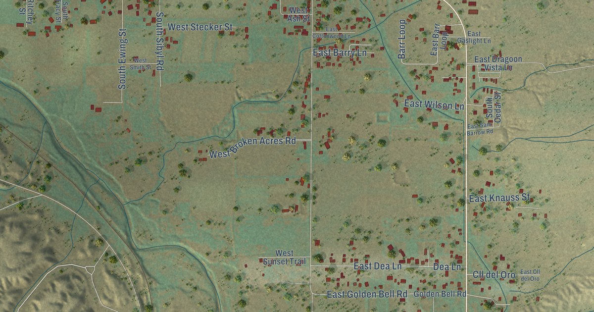
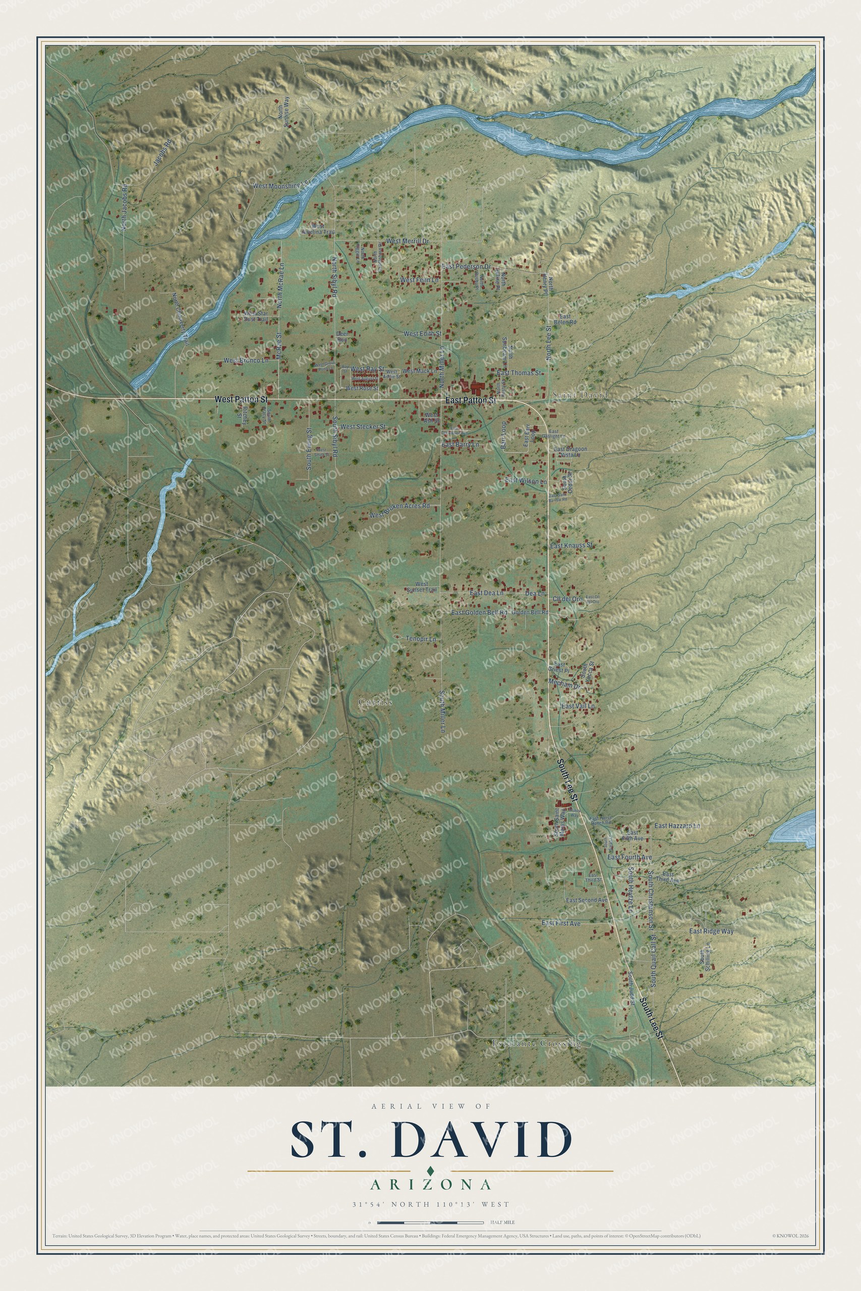
This beautifully detailed map of St. David, Arizona was created in 2026 using aerial imagery combined with modern topographical, census, street and landmark data. It’s a one-of-a-kind view of St. David that combines accurate data with a vintage aesthetic. The map shows every building in its true location, many of the roads carry their names, and the shaded topographic relief shows the shape of the land.
Explore an aerial view of St. David, Arizona
On the map you’ll find Escalante Crossing and Curtiss, along with East Patton Street, South Lee Street, West Patton Street, West Ray Street, North Lee Street, East Dea Lane, South Christenson Street, South Miller Lane, North Sibyl Road, and more. If you look closely you can even find your house accurately drawn in its correct location. Zoom in on the preview to look for yours.
St. David sits about 7 miles east of Benson, 12 miles north of Whetstone and 14 miles southeast of Mescal.
Take a closer look at the St. David map
Names on this map
These names are printed on this map.
Places: Saint David, Escalante Crossing and Curtiss.
Streets and roads: East Patton Street, South Lee Street, West Patton Street, West Ray Street, North Lee Street, East Dea Lane, South Christenson Street, South Miller Lane, North Sibyl Road, Jacobs Road, McRae Street, North McRae Lane.
More street names, A to Z
Barr Loop, Cll del Oro, Dea Lane, Deer Run, East Barr Loop, East Barry Lane, East Belen Road, East Cll del Oro, East Cottonwood Lane, East Dragoon Vista Lane, East Fifth Avenue, East First Avenue, East Fourth Avenue, East Gaslight Lane, East Golden Bell Road, East Griest Place, East Hazzard Lane, East Horse Ranch Road, East Knauss Street, East Pederson Drive, East Ridge Way, East Sam Barrow Road, East Second Avenue, East Third Avenue, East Third Street, East Thomas Street, East Vail Lane, East Wilson Lane, Golden Bell Road, Mecham Drive, North Busby Place, North Chihaverty Trail, North Henry Place, North Higgie Lane, North Jacobs Road, North Juline Place, North Miller Lane, North Rusty Street, North Saddlehorn Drive, North Sunbeam Lane, North Sunrise Way, Ray Street, Ritchey Street, South Cedar Street, South Ewing Street, South Heytze Lane, South Judd Street, South Quail Call Street, South Saint Marys Way, South Sarah Lane, South Schilling Lane, South Sibyl Road, South Tracy Street, South Yucca Street, Tenopir Lane, Trinity Way, West Addie Street, West Ash Street, West August Street, West Broken Acres Road, West Bronco Lane, West Edith Street, West Fenn Lane, West Grove Pond Lane, West Javelina Trail, West Mack Lane, West Merrill Drive, West Moonshine Lane, West Rose Street, West Smith Street, West Star Dust Trail, West Stecker Street, West Sunset Trail.
See it on a wall
The St. David map as a framed print. Swipe for more.


This beautifully detailed map of St. David makes an attractive addition to your office, library, or den, and it can even be used to teach children the geography and history of the area. It also makes a great gift for someone who left St. David and still calls it home. When you’re done exploring, click here to get your copy of the St. David map.