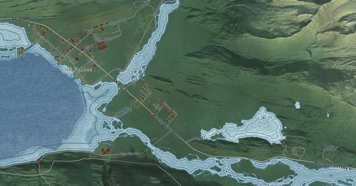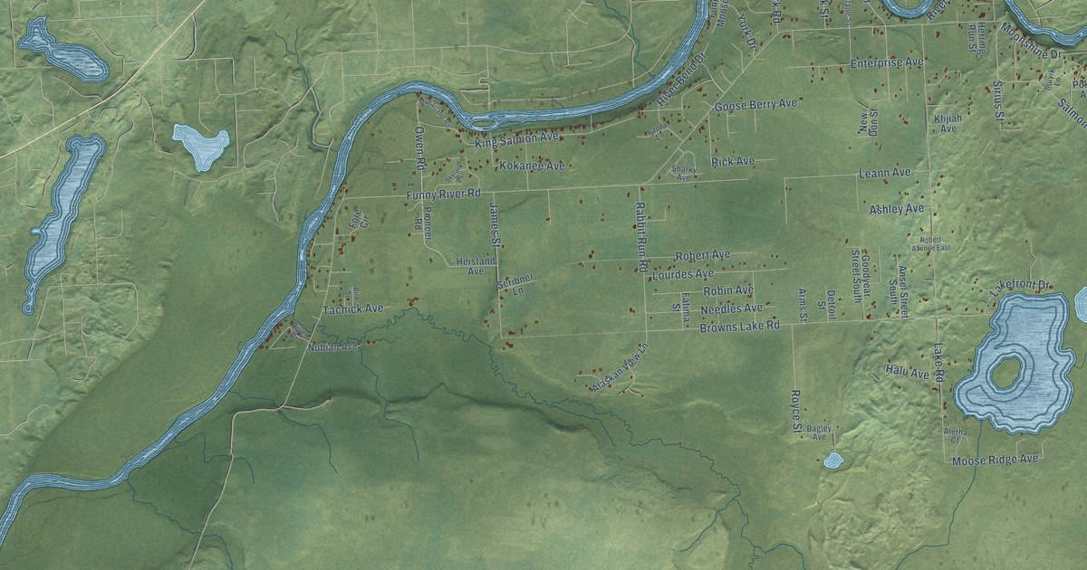
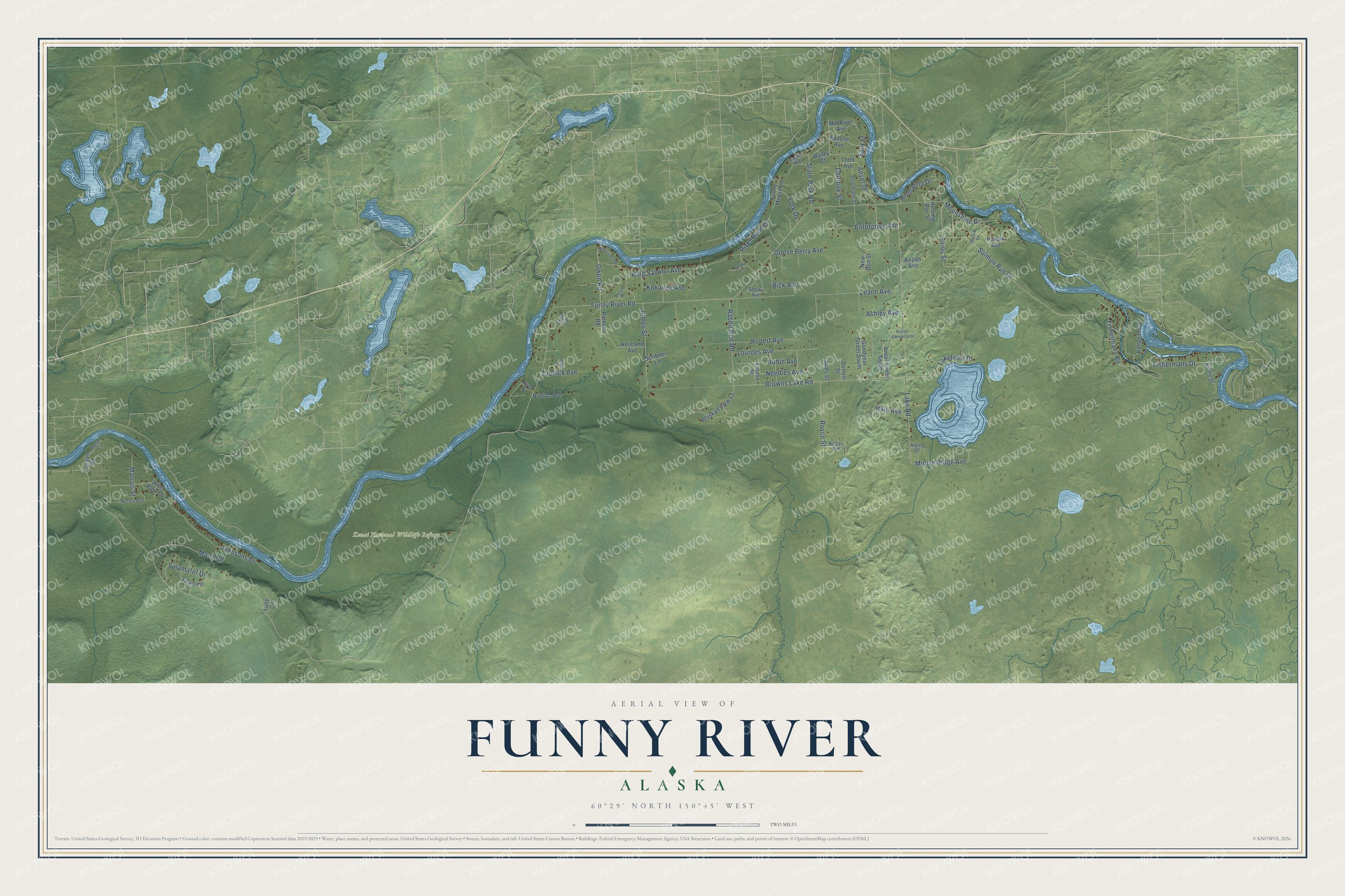
This beautifully detailed map of Funny River, Alaska was created in 2026 using aerial imagery combined with modern topographical, census, street and landmark data. It’s a one-of-a-kind view of Funny River that combines accurate data with a vintage aesthetic. The map shows every building in its true location, many of the roads carry their names, and the shaded topographic relief shows the shape of the land.
Explore an aerial view of Funny River, Alaska
On the map you’ll find Kenai National Wildlife Refuge, along with Owen Road, Ansel Drive, Salmon Run Drive, Fishermans Road, Moose Ridge Avenue, Funny River Road, Lake Road, Browns Lake Road, Leann Avenue, Johnsons Drive, King Salmon Avenue, and more. Funny River sits about 4 miles south of Sterling, 10 miles east of Ridgeway and 10 miles east of Soldotna. If you look closely you can even find your house accurately drawn in its correct location. Zoom in on the preview to look for yours.
Take a closer look at the Funny River map
Names on this map
These names are printed on this map.
Places: Kenai National Wildlife Refuge.
Streets and roads: Owen Road, Ansel Drive, Salmon Run Drive, Fishermans Road, Moose Ridge Avenue, Funny River Road, Lake Road, Browns Lake Road, Leann Avenue, Johnsons Drive, King Salmon Avenue, State Park Road.
More street names, A to Z
Aero Plane Street, Alaskan View Lane, Aletha Court, Ansel Street South, Apache Avenue, Arms Street, Ashley Avenue, Bagley Avenue, Bailey Court, Bird Street, Chinook Street, Detroit Street, Eaglet Way, Enterprise Avenue, Fatima Street, Fishermans Drive, Fore Circle, Funny Moose Lane, Goodyear Street South, Goose Berry Avenue, Halu Avenue, Heistand Avenue, Herring Run Street, Inuvik Lane, James Street, Kaltag Loop, Killey Street, Klijiah Avenue, Kokanee Avenue, Lakefront Drive, Laura Lane, Lourdes Avenue, Mann Road, Marcus Street, McFarland Road, Mid River Avenue, Moonshine Drive, Needles Avenue, New Don Street, Norma Avenue, Nubian Avenue, Patson Circle, Patson Road, Pioneer Road, Pokiak Avenue, Rabbit Run Road, Rick Avenue, River Bend Drive, River Drive, River Park Drive, Riverwind Drive, Robert Avenue, Robert Avenue East, Robin Avenue, Royce Street, Sacaloff Drive, Salamatof Drive, Sara Street, Scribner Lane, Sharky Avenue, Sirius Street, Skylark Lane, Tachick Avenue, Todd Avenue, Tulip Circle, York Drive.
See it on a wall
The Funny River map as a framed print. Swipe for more.


This beautifully detailed map of Funny River makes an attractive addition to your office, library, or den, and it can even be used to teach children the geography and history of the area. It also makes a great gift for anyone with Funny River roots. When you’re done exploring, click here to get your copy of the Funny River map.