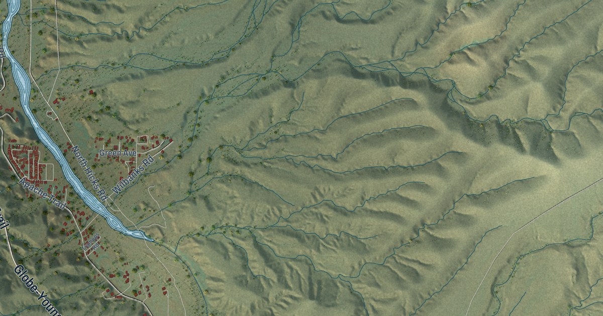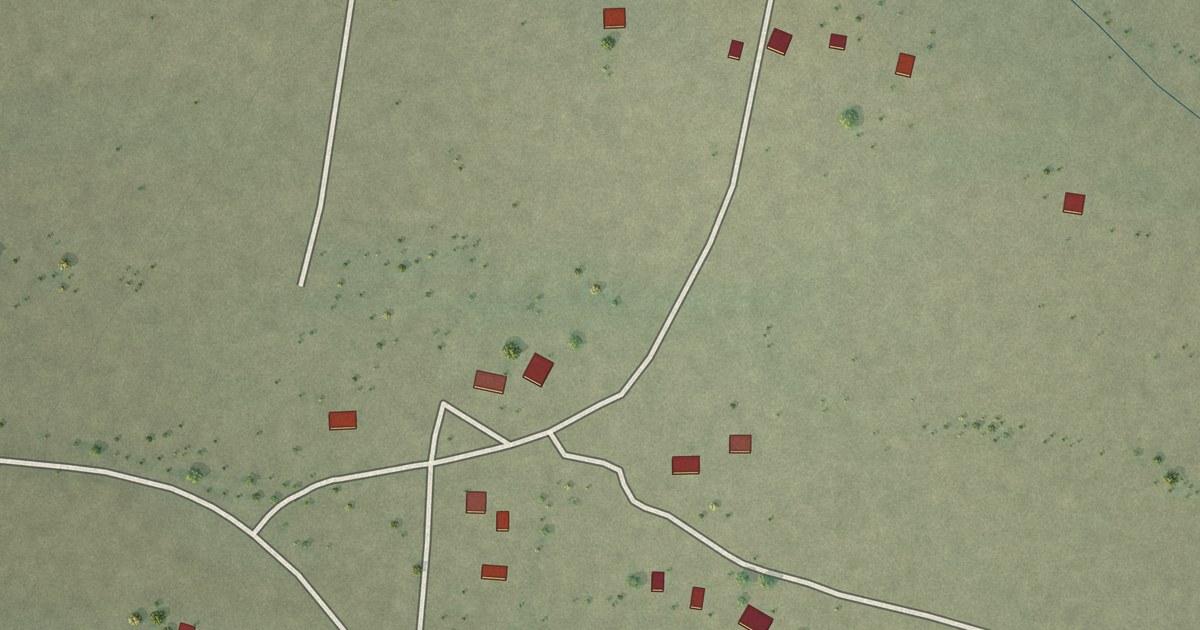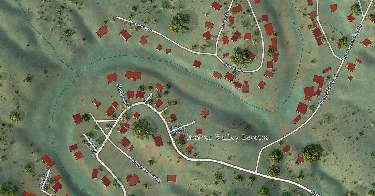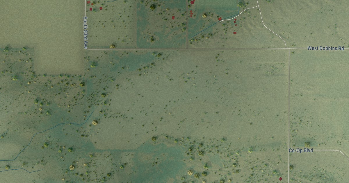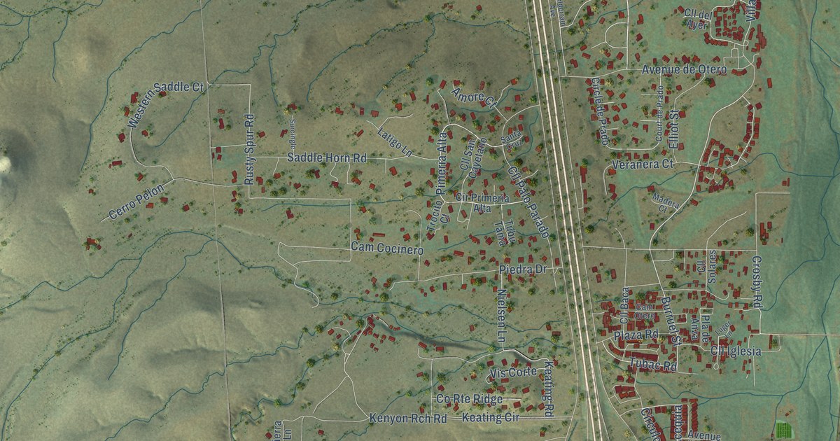
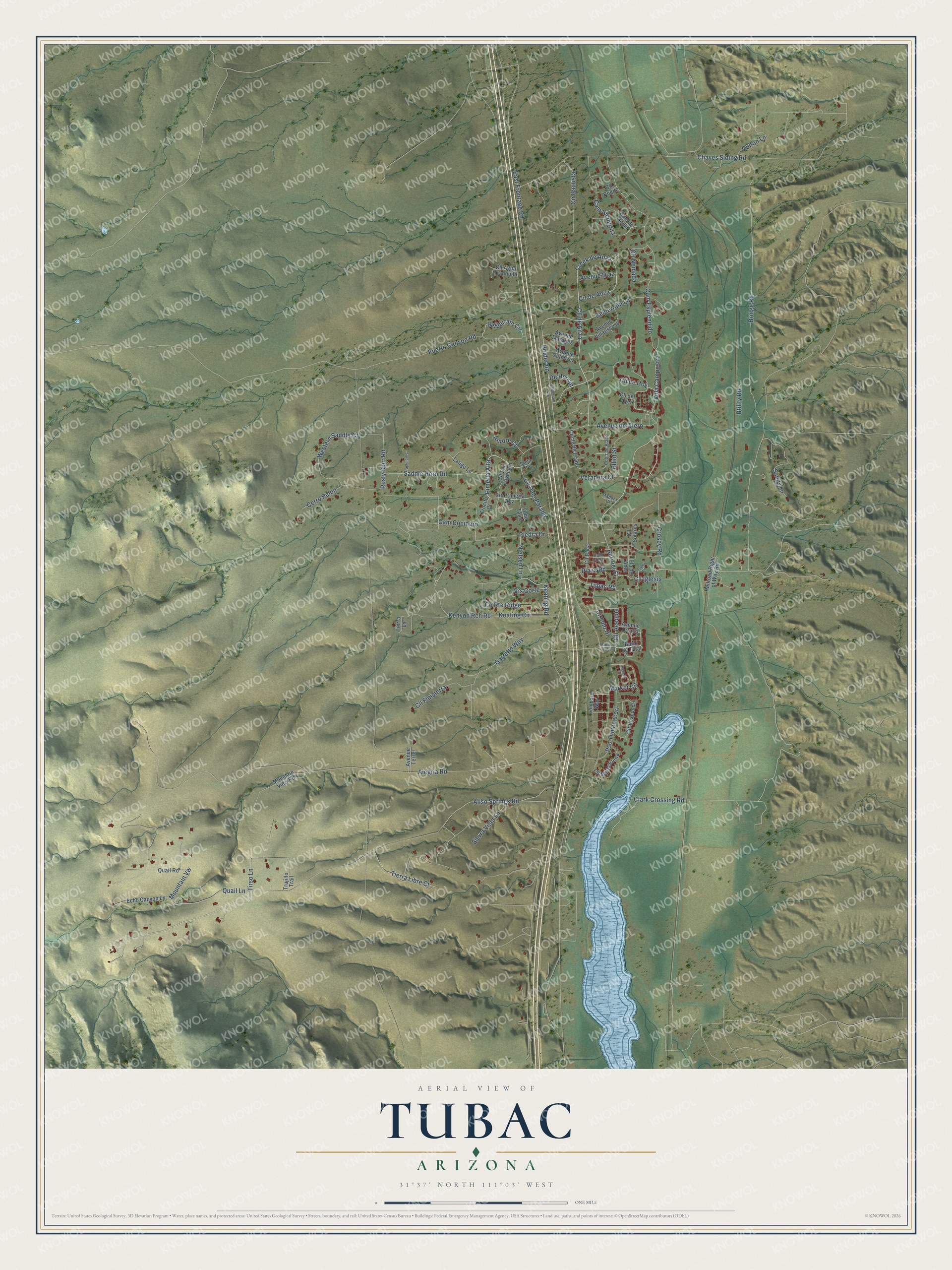
This beautifully detailed map of Tubac, Arizona was created in 2026 using aerial imagery combined with modern topographical, census, street and landmark data. It’s a one-of-a-kind view of Tubac that combines accurate data with a vintage aesthetic. The map shows every building in its true location, many of the roads carry their names, and the shaded topographic relief shows the shape of the land.
Explore an aerial view of Tubac, Arizona
On the map you’ll find Cír de Anza, Cll de Anza, Creek de Anza, Cll Acequia, Pimeria Alta, Villa Campestre, De Herran, and Belderain, along with Burruel Street, Tubac Road, Tirso Lane, Aliso Springs Road, and more. Tubac sits about 3 miles north of Tumacacori-Carmen, 6 miles south of Amado and 9 miles northwest of Rio Rico. If you look closely you can even find your house accurately drawn in its correct location. Zoom in on the preview to look for yours.
Take a closer look at the Tubac map
Names on this map
These names are printed on this map.
Streets and roads: Burruel Street, Tubac Road, Cír de Anza, Cll de Anza, Creek de Anza, Tirso Lane, Cll Acequia, Pimeria Alta, Villa Campestre, Aliso Springs Road, De Herran, Belderain.
More street names, A to Z
Alegria Road, Amore Court, Avenue de Otero, Avenue Diaz, Avenue Gutierrez, Avenue Marquez, Avenue Terrel, Avenue Urrutia, Avenue Villaescusa, Bario de Tulal, Barrio de Tubac, Belderrain Avenue, Belderrain Circle, Belderrain Lane, Bridge Road, Cam Cocinero, Cam de Media, Cam Esplendido, Cam Otero, Cam Shangrila, Cerro Pelon, Chaves Siding Road, Circle de Prado, Circulo Drive, Clark Crossing Road, Cll Agua Tranquila, Cll Baca, Cll de Hoy, Cll del Ayer, Cll Finisterra, Cll Iglesia, Cll Maria Elena, Cll Palo Parado, Cll Poqito, Cll San Cayetano, Cll Solares, County Route Ridge, Court de Prado, Crosby Road, Culton Lane, Cír Bautista, Cír Nomada, Cír Primeria Alta, Cír Vespucci, East Frontage Road, Echo Canyon Lane, Elliot Street, Garretts Way, Keating Circle, Keating Road, Kenyon Rch Road, Latigo Lane, Lombard Way, Luger Lane, Madera Court, Market Circle, Mountain View Road, Mountain Vw, Nielsen Lane, Piedra Drive, Pla de Anza, Plaza Road, Powell Court, Pso Tumacacori, Puerto Canyon Road, Quail Lane, Quail Road, Railroad Right of Way Road, Rusty Spur Road, Saddle Horn Road, Sandy Lane, Santa Cruz, Sierra Vista Lane, Surcingle, Tierra Lane, Tierra Libre Court, Trocito Court, Trujillo Trail, Tubu Tama, Utility Road, Veranera Court, Vis Corte, Western Saddle Court.
See it on a wall
The Tubac map as a framed print. Swipe for more.


This beautifully detailed map of Tubac makes an attractive addition to your office, library, or den, and it can even be used to teach children the geography and history of the area. It also makes a great gift for someone who left Tubac and still calls it home. When you’re done exploring, click here to get your copy of the Tubac map.