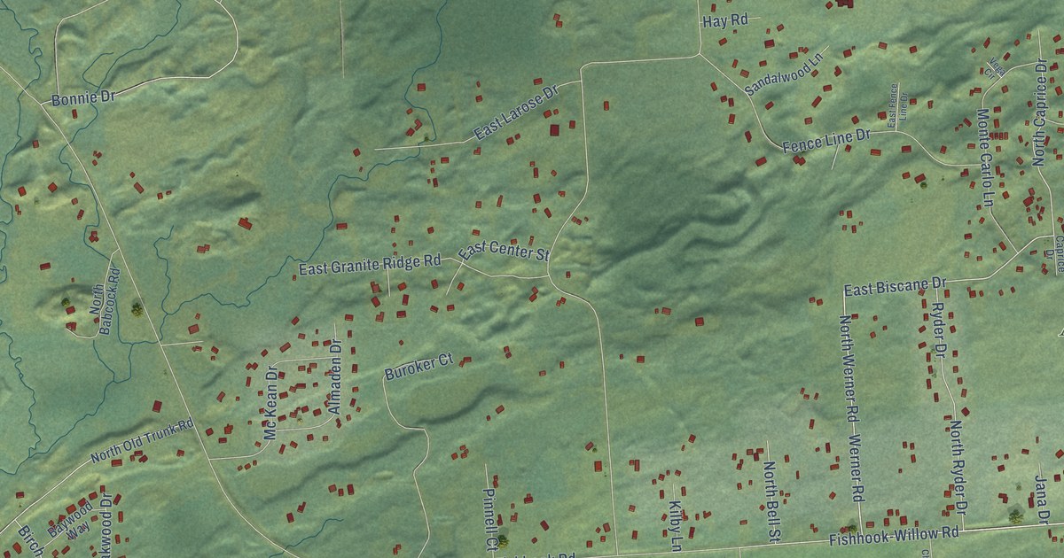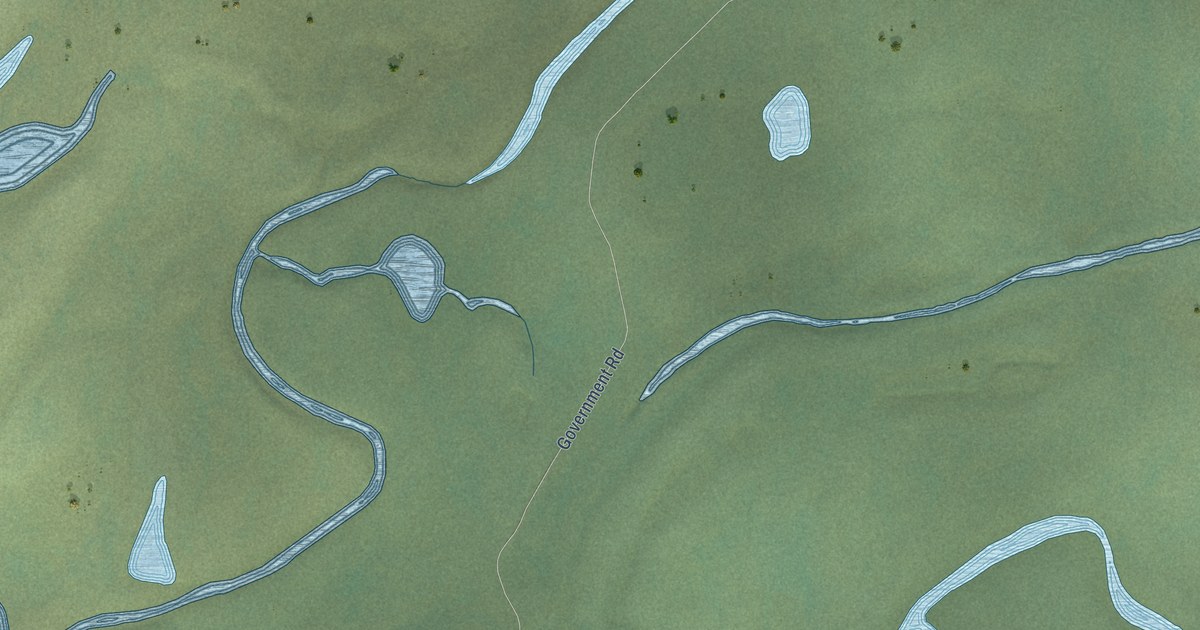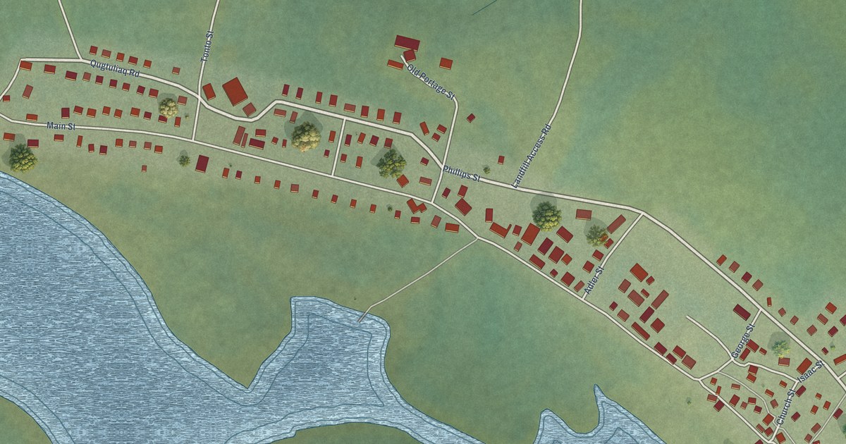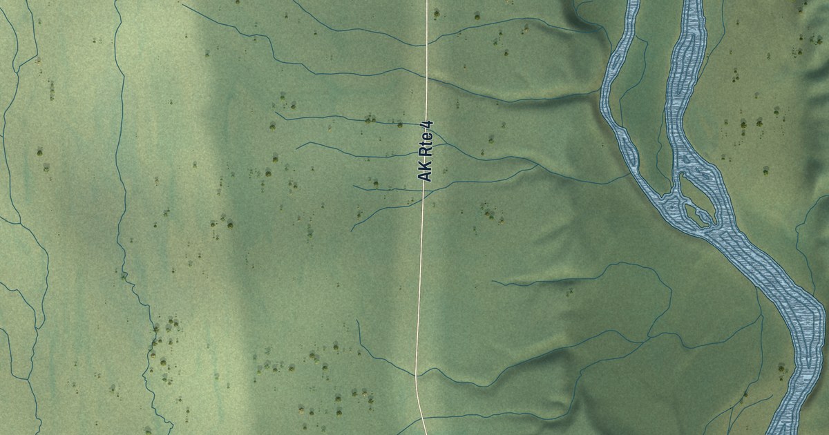
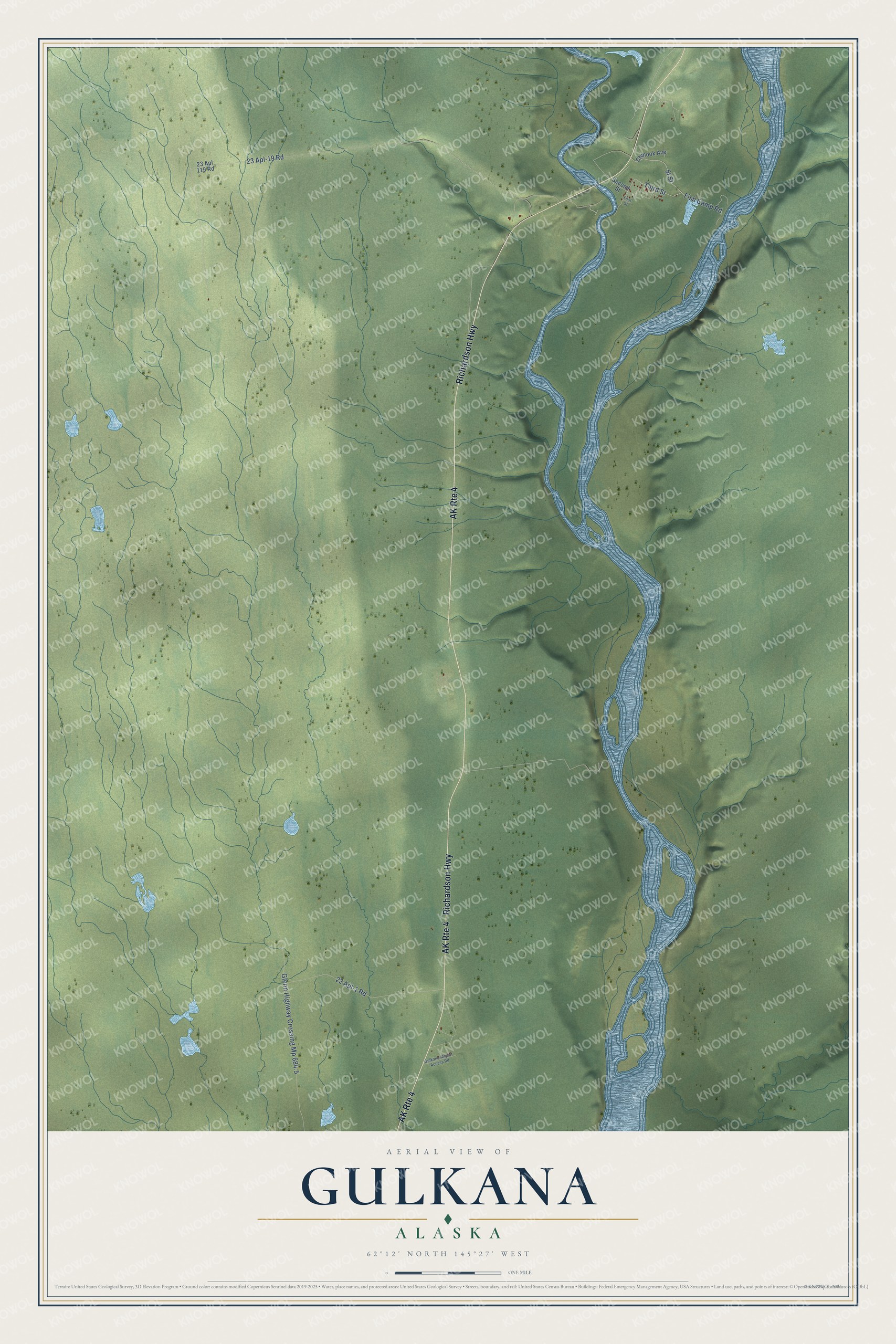
This beautifully detailed map of Gulkana, Alaska was created in 2026 using aerial imagery combined with modern topographical, census, street and landmark data. It’s a one-of-a-kind view of Gulkana that combines accurate data with a vintage aesthetic. The map shows every building in its true location, many of the roads carry their names, and the shaded topographic relief shows the shape of the land.
Explore an aerial view of Gulkana, Alaska
On the map you’ll find Richardson Highway, 5t Street, Third Street, 23 Apl-19 Road, 22 Apl-1 Road, Fish Camp Road, Second Street, Chinook Avenue, 23 Apl 119 Road, Gulkana Airport Access Road, First Street, and more. Gulkana sits about 11 miles north of Tazlina, 11 miles south of Gakona and 13 miles east of Glennallen. If you look closely you can even find your house accurately drawn in its correct location. Zoom in on the preview to look for yours.
Take a closer look at the Gulkana map
Names on this map
These names are printed on this map.
Streets and roads: Richardson Highway, AK Route 4, Third Street, 23 Apl-19 Road, Glenn Highway Crossing Mp 684.5, 22 Apl-1 Road, Fish Camp Road, Second Street, Chinook Avenue, 23 Apl 119 Road, Gulkana Airport Access Road and First Street.
See it on a wall
The Gulkana map as a framed print. Swipe for more.


This beautifully detailed map of Gulkana makes an attractive addition to your office, library, or den, and it can even be used to teach children the geography and history of the area. It also makes a great gift for someone who left Gulkana and still calls it home. When you’re done exploring, click here to get your copy of the Gulkana map.