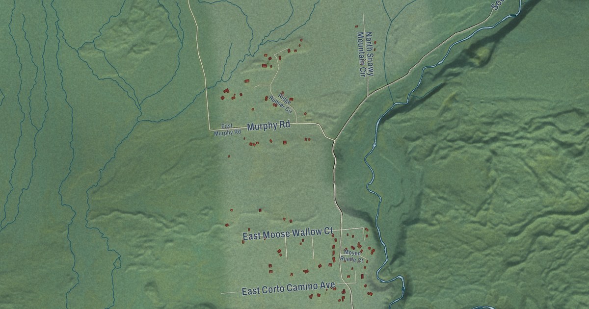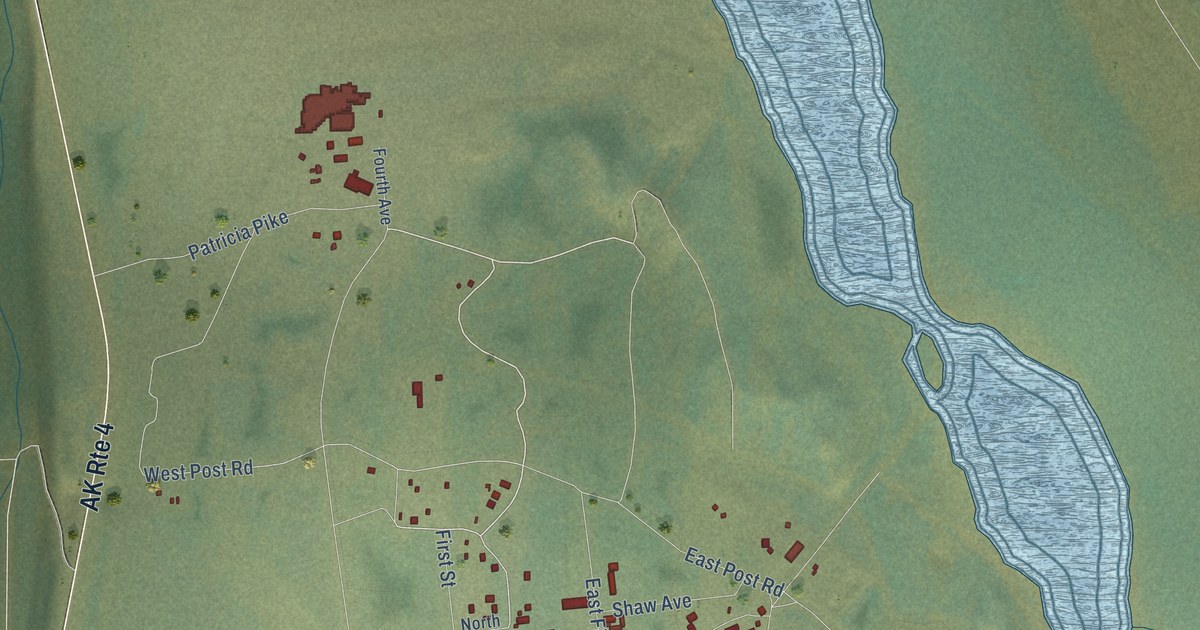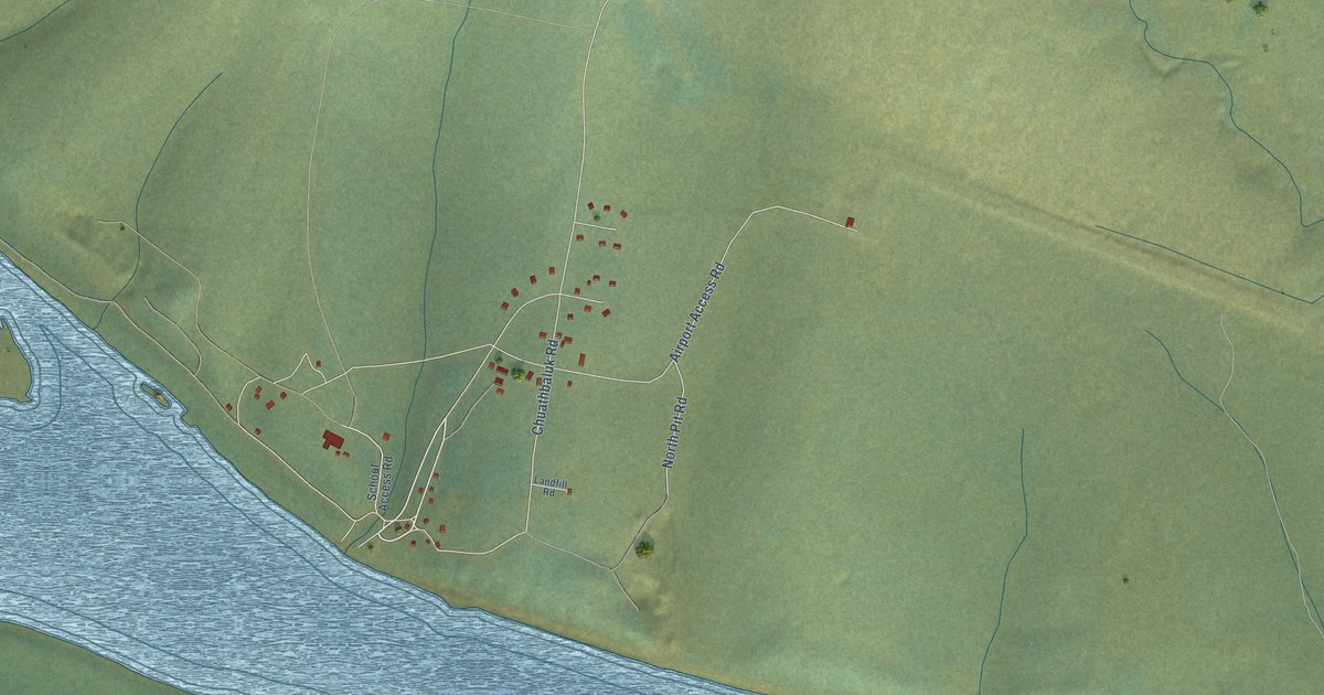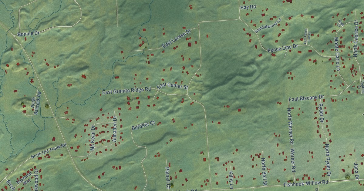
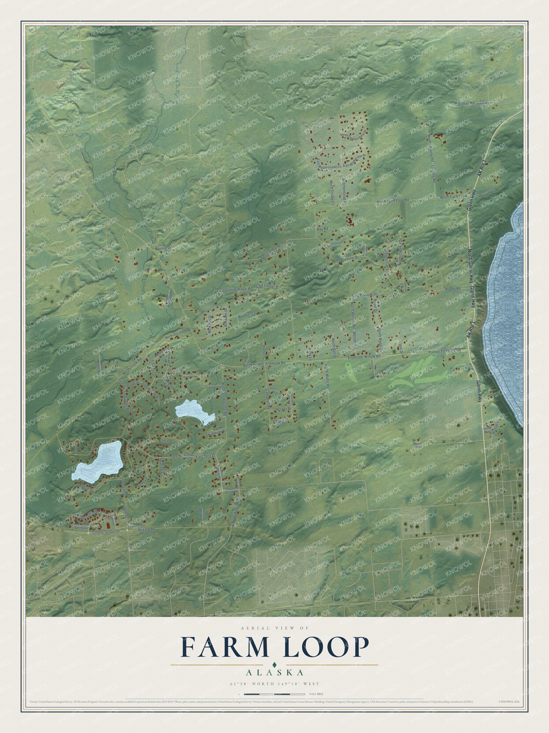
This beautifully detailed map of Farm Loop, Alaska was created in 2026 using aerial imagery combined with modern topographical, census, street and landmark data. It’s a one-of-a-kind view of Farm Loop that combines accurate data with a vintage aesthetic. The map shows every building in its true location, many of the roads carry their names, and the shaded topographic relief shows the shape of the land.
Explore an aerial view of Farm Loop, Alaska
On the map you’ll find Cedar Park and Musk Ox Farm, along with Glenn Highway, North Glenn Highway, North Snowgoose Road, Palmer Fishhook Road, Werner Road, North Arabian Lane, East Biscane Drive, Fishhook-Willow Road, North Caprice Drive, Colony School Drive, and more. Farm Loop sits about 3 miles northwest of Palmer, 4 miles south of Buffalo Soapstone and 5 miles northeast of Gateway. If you look closely you can even find your house accurately drawn in its correct location. Zoom in on the preview to look for yours.
Take a closer look at the Farm Loop map
Names on this map
These names are printed on this map.
Places: Cedar Park and Musk Ox Farm.
Streets and roads: AK Route 1, Glenn Highway, North Glenn Highway, North Snowgoose Road, Palmer Fishhook Road, Werner Road, North Arabian Lane, East Biscane Drive, Fishhook-Willow Road, North Caprice Drive, Colony School Drive, Forestwood Drive.
More street names, A to Z
49th State Street, 49th Street, Almaden Drive, Amfay Drive, Archie Road, Baywood Way, Birch Forest Drive, Bogard Road, Bonnie Drive, Britchenstrap Drive, Buroker Court, Campbell Road, Caprice Drive, Collier Road, Dove Lane, East Center Street, East Collier Road, East Colony Way, East Fence Line Drive, East Granite Ridge Road, East Larose Drive, East Marsh Road, East Nighthawk Circle, East Riverwood Circle, East Scott Road, East Silver Spring Circle, East Snowgoose Circle, East Spring Creek Circle, East Tern Drive, East Weathervane Circle, East Winkerstay Drive, Fence Line Drive, Forest Wood Drive, Glenn Way, Grow Lane, Hassen Bey Drive, Hay Road, Hazelwood Circle, Hecker Drive, Hilltop Drive, Jana Drive, Kilby Lane, Lossing Road, Marsh Road, Mc Kean Drive, Monte Carlo Lane, North 49th State Street, North Babcock Road, North Bell Street, North Christiansen Lane, North Crupperdock Drive, North Farm Loop, North Farm Loop Road, North Frisby Circle, North Heaton Road, North Lazy Aurora Circle, North Liahona Drive, North Lossing Road, North Moffit Road, North Old Trunk Road, North Palmer-Fishhook Road, North Ryder Drive, North Trunk Road, North Werner Road, North West Lake Avenue, North Wolverine Road, Oakwood Drive, Olivewood Drive, Pinnell Court, Puffin Drive, Ryder Drive, Sandalwood Lane, Seagull Drive, Sparrow Court, Teakwood Way, Tern Court, Tern Drive, Vega Circle.
See it on a wall
The Farm Loop map as a framed print. Swipe for more.


This beautifully detailed map of Farm Loop makes an attractive addition to your office, library, or den, and it can even be used to teach children the geography and history of the area. It also makes a great gift for anyone who grew up in Farm Loop or moved away. When you’re done exploring, click here to get your copy of the Farm Loop map.