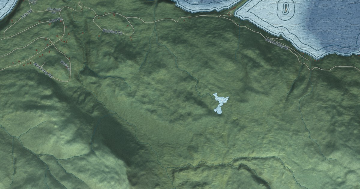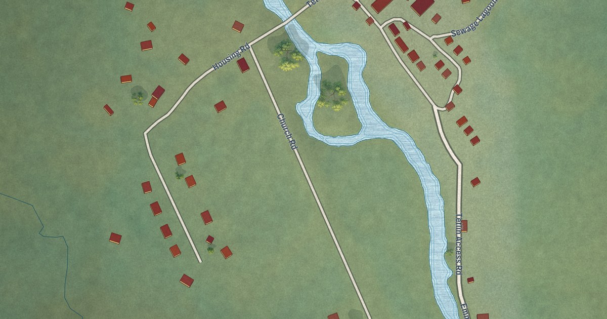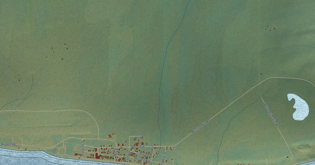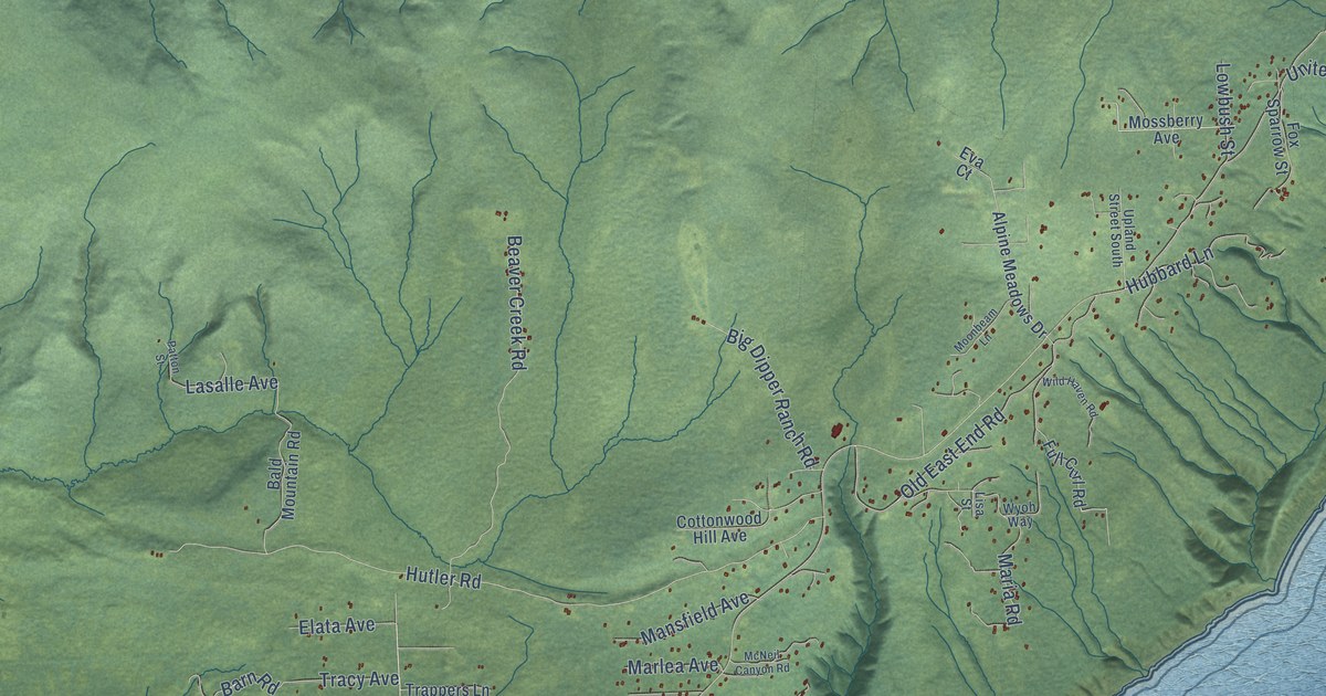
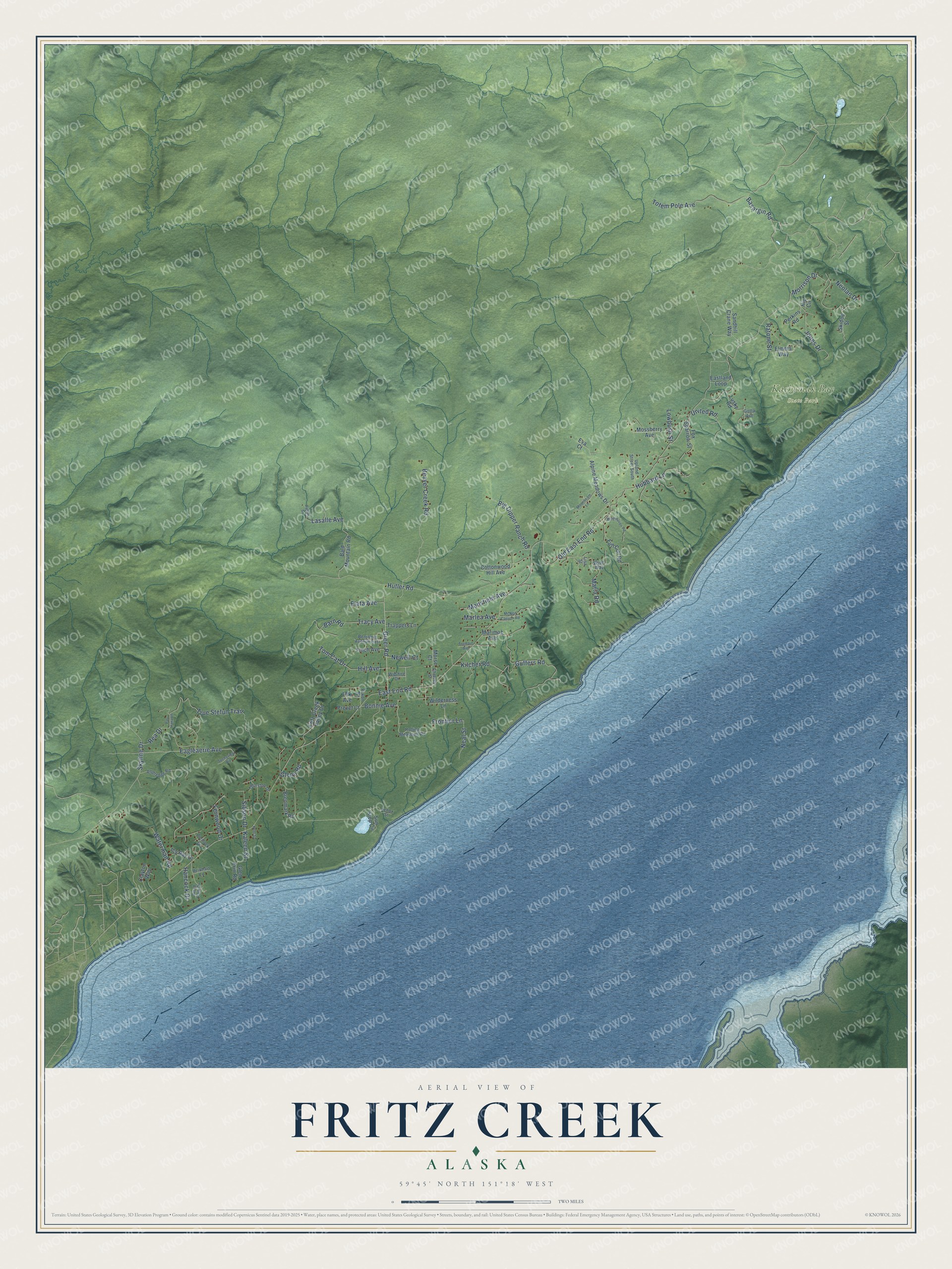
This beautifully detailed map of Fritz Creek, Alaska was created in 2026 using aerial imagery combined with modern topographical, census, street and landmark data. It’s a one-of-a-kind view of Fritz Creek that combines accurate data with a vintage aesthetic. The map shows every building in its true location, many of the roads carry their names, and the shaded topographic relief shows the shape of the land.
Explore an aerial view of Fritz Creek, Alaska
On the map you’ll find Kachemak Bay State Park, along with Greer Road, Eagleaerie Avenue, Lasalle Avenue, East End Road, Hutler Road, Skyline Drive, Old East End Road, Guffers Road, Beaver Creek Road, True Stefun Trail, Totem Pole Avenue, and more. Fritz Creek sits about 8 miles northeast of Kachemak, 10 miles northeast of Diamond Ridge and 11 miles southeast of Nikolaevsk. If you look closely you can even find your house accurately drawn in its correct location. Zoom in on the preview to look for yours.
Take a closer look at the Fritz Creek map
Names on this map
These names are printed on this map.
Places: Kachemak Bay State Park.
Streets and roads: Greer Road, Eagleaerie Avenue, Lasalle Avenue, East End Road, Hutler Road, Skyline Drive, Old East End Road, Guffers Road, Beaver Creek Road, True Stefun Trail, Totem Pole Avenue, Morrison Drive.
More street names, A to Z
Alldredge Road, Alpine Meadows Drive, Bald Mountain Road, Barn Road, Basargin Road, Benjamin Avenue East, Big Dipper Ranch Road, Birch Park Drive, Bonnie Avenue, Brenmark Road, Chelsey Street, Clayton Way, Cottonwood Hill Avenue, Eastland Loop, Elata Avenue, Elmers Way, Eva Court, Fernwood Drive, Finch Avenue, Fox Sparrow Street, Fritz Creek Valley Drive, Frontier Lane, Full Curl Road, Glen Erin Road, Glenn Road, Gotta Avenue, Hancock Drive, Hill Avenue, Hip Circle, Hubbard Lane, Icy Bay Drive, Jones Drive, Kaleen Street, Kent Street, Kilcher Road, Lenox Street, Lisa Street, Lowbush Street, Lusky Road, Mansfield Avenue, Maria Road, Marimac Avenue, Marlea Avenue, McNeil Canyon Road, Moonbeam Lane, Morse Court, Mossberry Avenue, Neal Street, Neolan Drive, Newell Court, Patton Street, Pau Hana Lane, Perkins Road, Portlock Drive, Prevet Court, Ratone Street, Rea Drive, Reinhart Lane, Rolling Meadows Road, Sandhill Crane Way, Sibson Drive, Skidoo Street, Suchaview Road, Sun Step Circle, Thurston Drive, Tok Avenue, Tom Cat Drive, Tracy Avenue, Trappers Lane, Tremain Avenue, United Road, Upland Street South, Waterman Road, Wilderness Lane, Wild Haven Road, Wilshire Drive, Wyoh Way, Yukon Street.
See it on a wall
The Fritz Creek map as a framed print. Swipe for more.


This beautifully detailed map of Fritz Creek makes an attractive addition to your office, library, or den, and it can even be used to teach children the geography and history of the area. It also makes a great gift for anyone who grew up in Fritz Creek or moved away. When you’re done exploring, click here to get your copy of the Fritz Creek map.