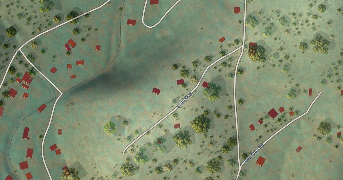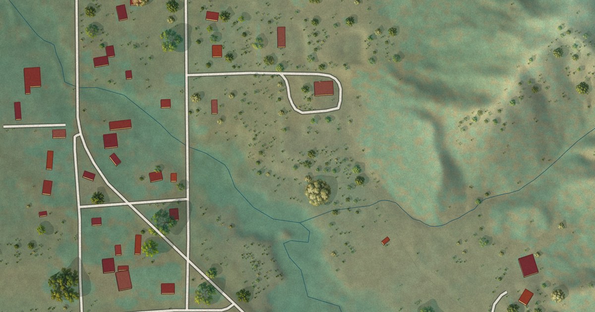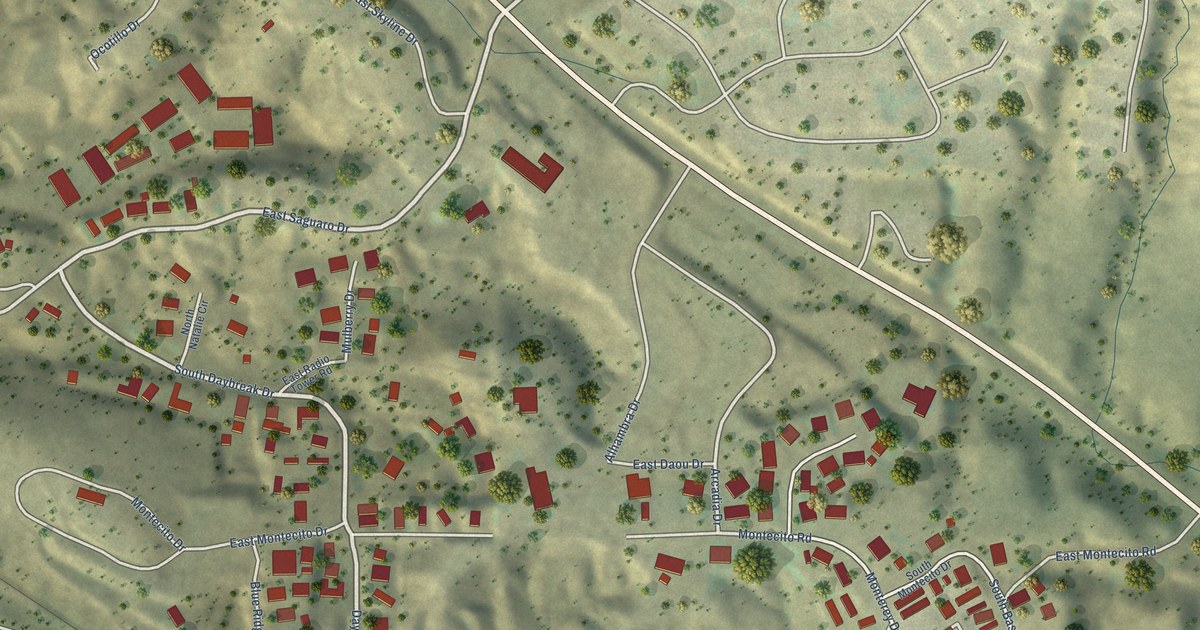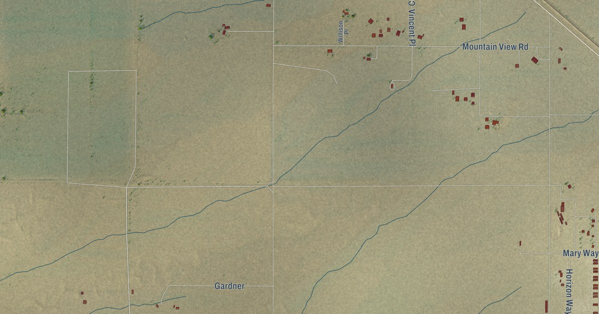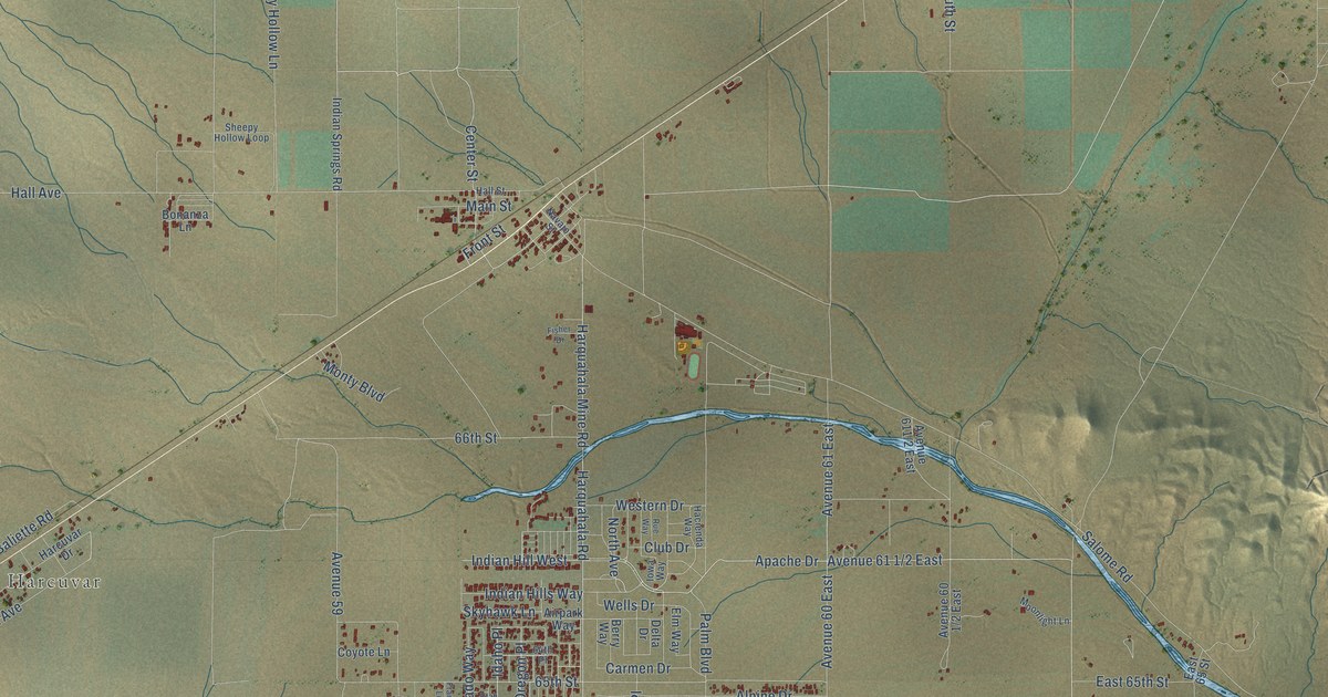
This beautifully detailed map of Salome, Arizona was created in 2026 using aerial imagery combined with modern topographical, census, street and landmark data. It’s a one-of-a-kind view of Salome that combines accurate data with a vintage aesthetic. The map shows every building in its true location, many of the roads carry their names, and the shaded topographic relief shows the shape of the land.
Explore an aerial view of Salome, Arizona
On the map you’ll find Harcuvar, Avenue 61 1/2 East, and Avenue 60 East, along with Winchester Avenue, Apache Drive, Palm Drive, Hess Lane, Center Street, Sheepy Hollow Lane, Hall Avenue, 65th Street, 66th Street, and more. Salome sits about 5 miles southwest of Wenden, 13 miles east of Vicksburg and 14 miles northwest of Sunwest. If you look closely you can even find your house accurately drawn in its correct location. Zoom in on the preview to look for yours.
Take a closer look at the Salome map
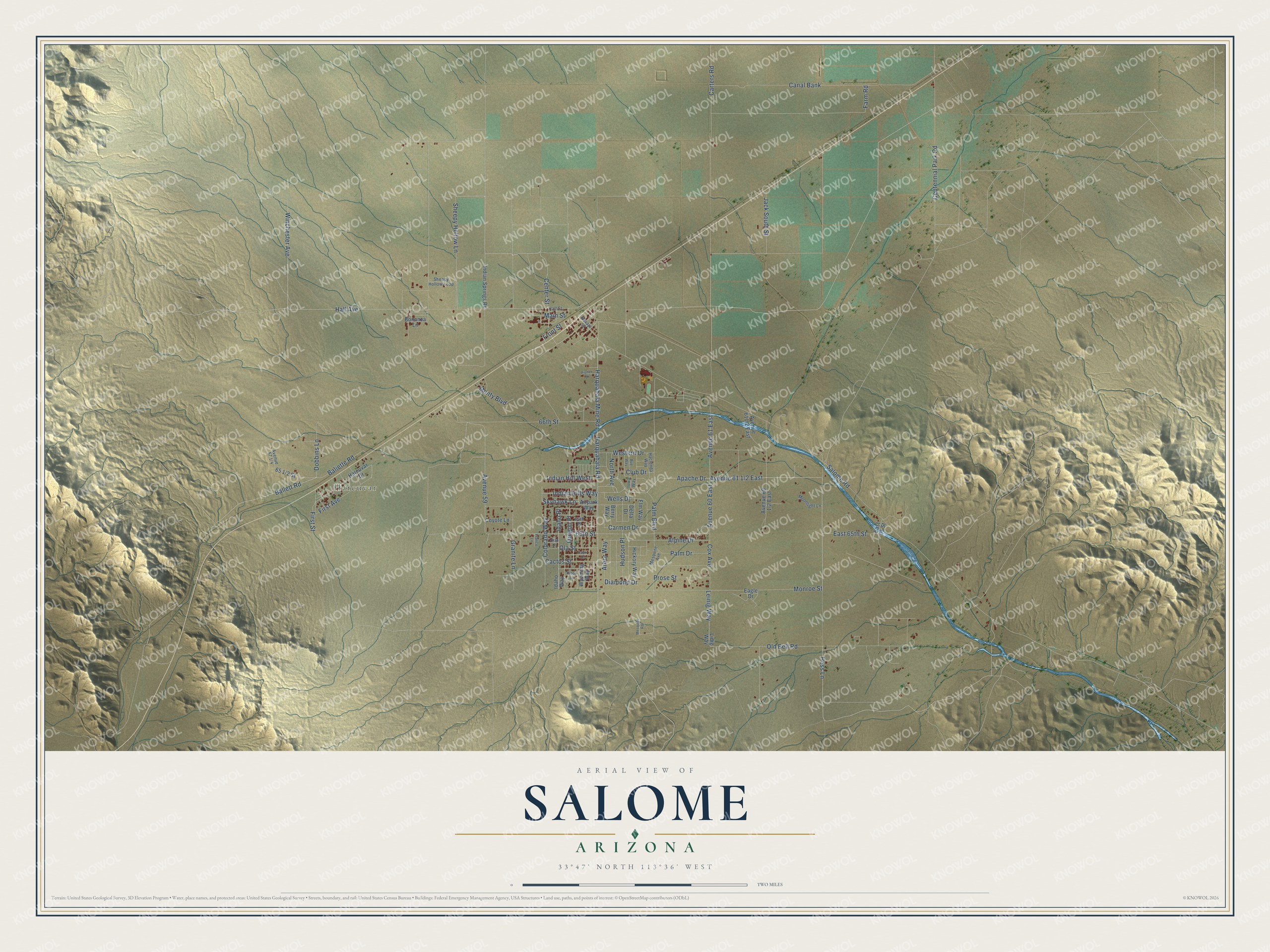
Names on this map
These names are printed on this map.
Places: Harcuvar.
Streets and roads: Winchester Avenue, Apache Drive, Palm Drive, Hess Lane, Center Street, Sheepy Hollow Lane, Avenue 60 East, Hall Avenue, 65th Street, 66th Street, Avenue 59, Ballett Road.
More street names, A to Z
64th Place, Airpark Way, Alpine Drive, Arbor Way, Avenue 61 East, Baliette Road, Berry Way, Bonanza Lane, Cactus Street, Canal Bank, Capri Lane, Carmen Drive, Carters Road, Centennial Park Road, Club Drive, Colorado Way, Cox Avenue, Coyote Lane, Delta Drive, Diamond Drive, Dobbins Lane, Eagle Drive, East 65 Street, East 65th Street, Elm Way, Farm Road, First Avenue, First Street, Fisher Drive, Franco Lane, Front Street, Granite Lane, Hacienda Way, Hall Street, Harcuvar Drive, Harquahala Mine Road, Harquahala Road, Hickory Way, Hudson Place, Idaho Place, Idaho Way, Indian Hills Way, Indian Hill West, Indian Springs Road, Iowa Way, Jack South Street, Leinig Way, Lidig Way, Main Street, Mesquite Avenue, Mesquite Road, Monroe Street, Monty Boulevard, Moonlight Lane, Navajo Street, North Avenue, Ola Street, Old Bell Road, Oregon Place, Palm Boulevard, Prose Lane, Prose Street, Rue Way, Salome Road, Sheepy Hollow Loop, Skyhawk Lane, Utah Lane, Wells Drive, Western Drive, Wyoming Way.
See it on a wall
The Salome map as a framed print. Swipe for more.


This beautifully detailed map of Salome makes an attractive addition to your office, library, or den, and it can even be used to teach children the geography and history of the area. It also makes a great gift for someone who left Salome and still calls it home. When you’re done exploring, click here to get your copy of the Salome map.