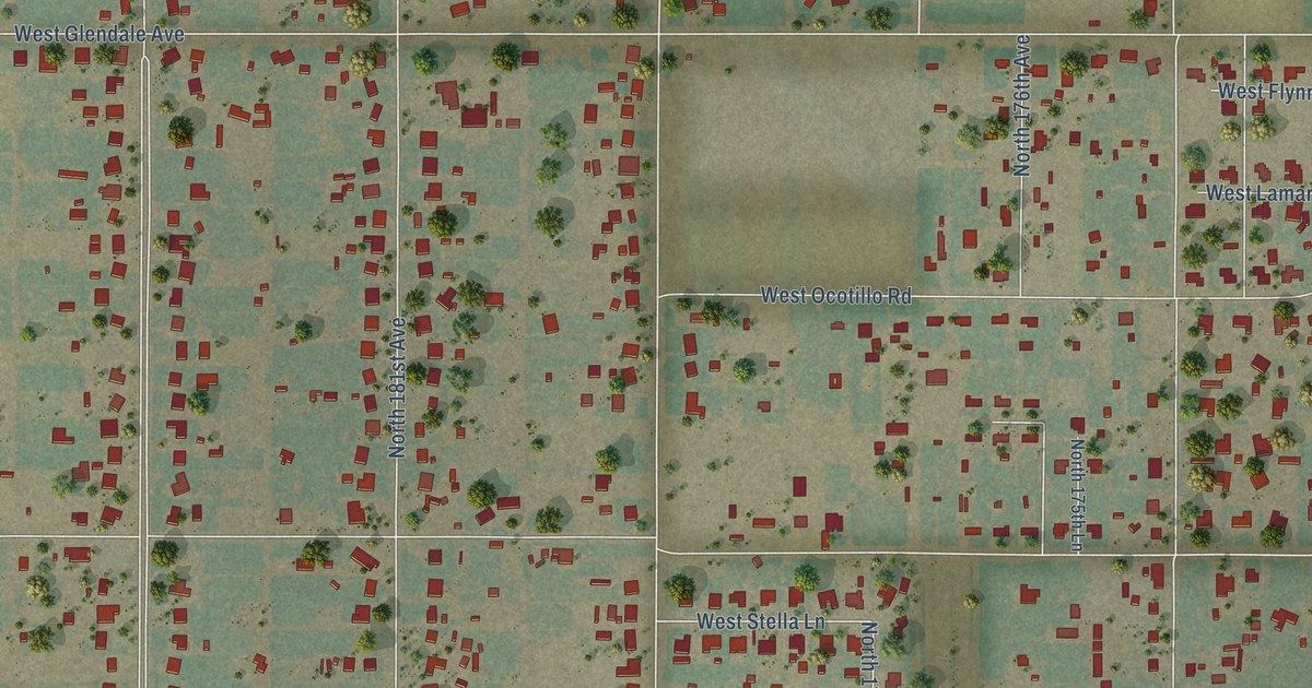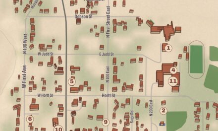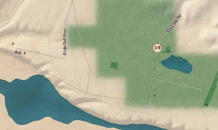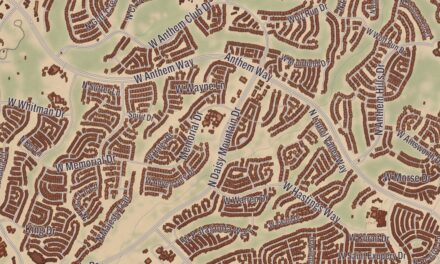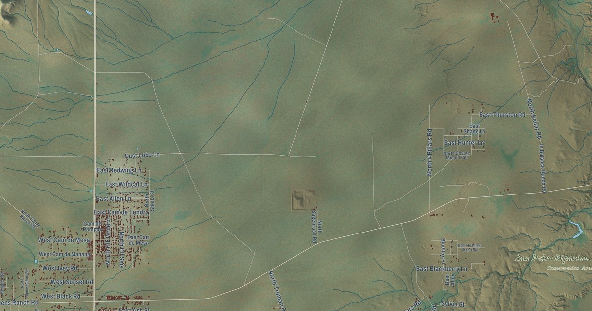
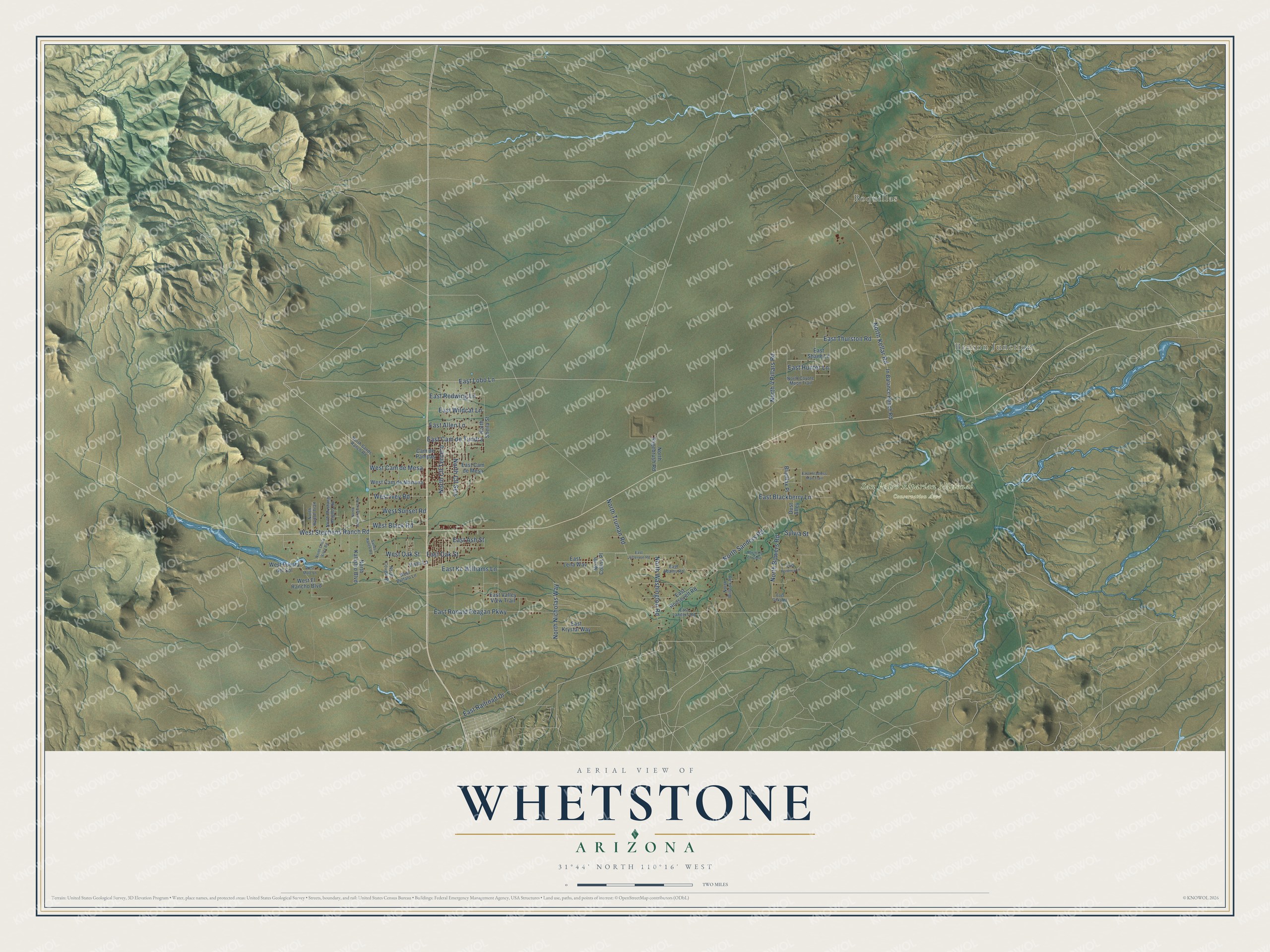
This beautifully detailed map of Whetstone, Arizona was created in 2026 using aerial imagery combined with modern topographical, census, street and landmark data. It’s a one-of-a-kind view of Whetstone that combines accurate data with a vintage aesthetic. The map shows every building in its true location, many of the roads carry their names, and the shaded topographic relief shows the shape of the land.
Explore an aerial view of Whetstone, Arizona
On the map you’ll find Benson Junction, Boquillas, San Pedro Riparian National Conservation Area, North Cll Seis, and North Cll Tercero, along with East Lobo Lane, North Kellar Road, North Sanders Road, East Ronald Reagan Parkway, North 4 Pillars Road, East Allen Lane, East Kc Williams Lane, and more. Whetstone sits about 7 miles northeast of Huachuca City, 11 miles north of Sierra Vista and 13 miles west of Tombstone. If you look closely you can even find your house accurately drawn in its correct location. Zoom in on the preview to look for yours.
Take a closer look at the Whetstone map
Names on this map
These names are printed on this map.
Places: Benson Junction, Boquillas and San Pedro Riparian National Conservation Area.
Streets and roads: East Lobo Lane, North Kellar Road, North Sanders Road, East Ronald Reagan Parkway, North Cll Seis, North 4 Pillars Road, East Allen Lane, East Kc Williams Lane, North Cll Tercero, East Railroad Drive, North Bowers Road, North Washington Road.
More street names, A to Z
Blueflax Place, Cam de Pampas, Dust Alley, East Adams Road, East Ash Street, East Blackberry Lane, East Cam de Mesa, East Cam de Tundra, East Fordney Lane, East Gilka Road, East Headless Man Trail, East Hunter Lane, East Jefferson Road, East Krystal Way, East Landers Road, East Lena Way, East Oak Street, East Redwing Lane, East Roosevelt Road, East Shane Lane, East Thurston Road, East Valley View Trail, East Wildcat Lane, In Balance Ranch Road, North Chula Vista Road, North Cll en Cielo, North Colins Place, North Cougar Place, North Coyote Moon Trail, North Hummingbird Road, North Kalastro Boulevard, North Mustang Heights Road, North Nicholas Way, North Ranch Trail, North Sagebrush Road, North Sands Ranch Road, North Sheila Street, North Truman Road, North Willcox Road, Sands Ranch Road, Sylvia Street, Vista Lane, West Black Road, West Buffalo Lane, West Cam de Manana, West Cam de Mesa, West El Rancho Boulevard, West Ivey Road, West Mule Lane, West Oak Street, West Puesta del Sol, West Stephens Ranch Road, West Sunset Road.
See it on a wall
The Whetstone map as a framed print. Swipe for more.


This beautifully detailed map of Whetstone makes an attractive addition to your office, library, or den, and it can even be used to teach children the geography and history of the area. It also makes a great gift for anyone with Whetstone roots. When you’re done exploring, click here to get your copy of the Whetstone map.