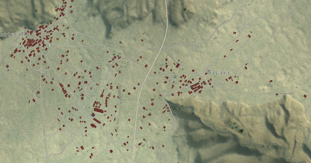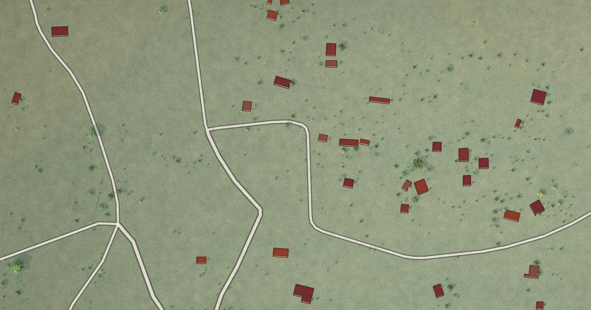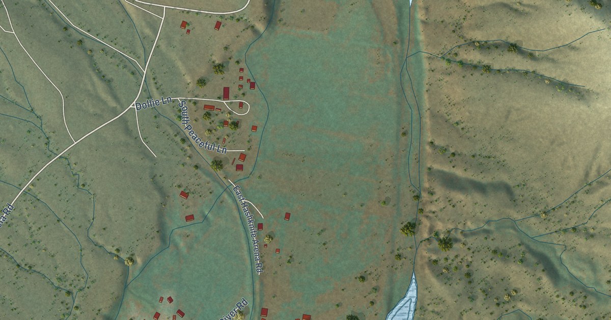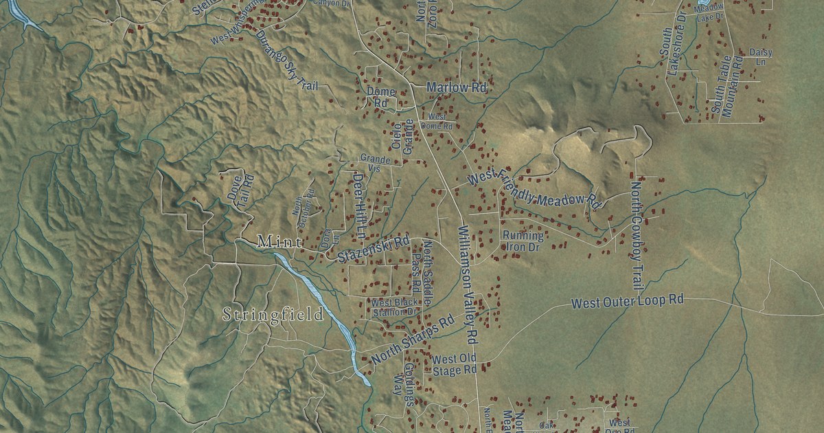
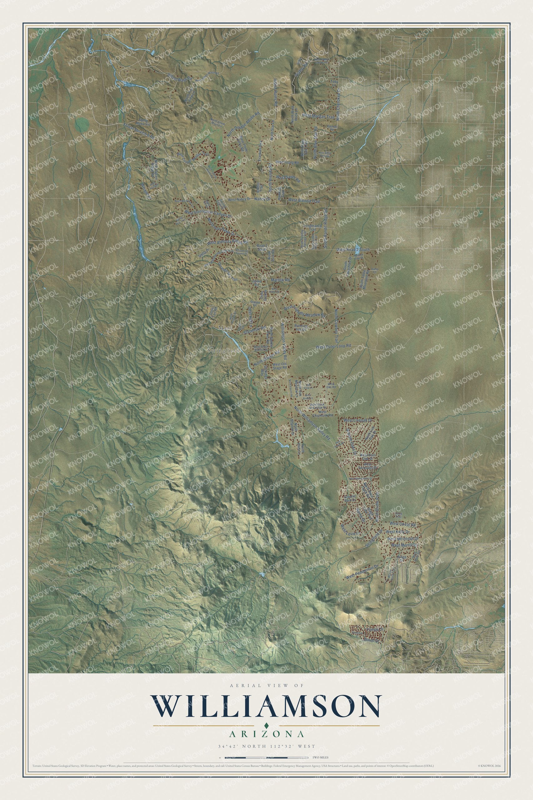
This beautifully detailed map of Williamson, Arizona was created in 2026 using aerial imagery combined with modern topographical, census, street and landmark data. It’s a one-of-a-kind view of Williamson that combines accurate data with a vintage aesthetic. The map shows every building in its true location, many of the roads carry their names, and the shaded topographic relief shows the shape of the land.
Explore an aerial view of Williamson, Arizona
On the map you’ll find Stringfield, Mint, and West Road 2 South, along with North Williamson Valley Road, Williamson Valley Road, North Cherokee Drive, Forest Service 6 Road, West Outer Loop Road, West Morgan Trail, North Double Adobe Road, West Almosta Ranch Road, Stazenski Road, and more. Williamson sits about 8 miles west of Chino Valley, 9 miles northwest of Prescott and 13 miles south of Paulden. If you look closely you can even find your house accurately drawn in its correct location. Zoom in on the preview to look for yours.
Take a closer look at the Williamson map
Names on this map
These names are printed on this map.
Places: Stringfield and Mint.
Streets and roads: North Williamson Valley Road, Williamson Valley Road, North Cherokee Drive, Forest Service 6 Road, West Outer Loop Road, West Road 2 South, West Morgan Trail, North Double Adobe Road, West Almosta Ranch Road, Stazenski Road, Dillon Wash Road, West Brenda Trail.
More street names, A to Z
Adobe Trail, Bard Ranch Road, Buena Vista Trail, Cielo Grande, Daisy Lane, Deer Hill Lane, Diablo, Diablo Road, Dineh Drive, Dome Road, Dora Lane, Dove Tail Road, Durango Sky Trail, Frankies Fwy, Goldings Way, Grande Vis, Granite Oaks Drive, Granite Park Drive, Harris Drive, Hawkins Trail, Indian Ruins Road, Longbranch Trail, Louis Trail, Marlow Road, Meadow Lake Drive, Nancy Drive, North Bailey Avenue, North Blue Star Road, North Brenda Road, North Bridle Path, North Cowboy Trail, North Equine Road, North Falcon Ridge Road, North Iron Hawk Drive, North Live Oak Drive, North Oak Meadow Lane, North October Road, North Papa Talk Trail, North Race Track Road, North Saddle Pass Road, North Scarlett Drive, North Sharps Road, North Silent Moon Lane, North Star Lane, North Talking Ranch Road, North Top View Lane, North Vista Lane, North Warbonnet Lane, North Wind Rock Lane, North Zoro Road, Oak View Lane, Ridge Drive, Road 2 South, Running Iron Drive, Santa Maria Vis, Shoshone Drive, Signal Hill Road, Sitting Bear Trail, South Bandit Ridge Road, South Cowboy Springs Trail, South Lakeshore Drive, South Saber River Trail, South Table Mountain Road, Spotted Eagle Drive, Stage Line Trail, Stella Drive, Stringfield Drive, Toby Lane, Trail, Varmint Road, Warbler Lane, West Black Jack Ridge Road, West Black Stallion Drive, West Bridle Lane, West Chipmunk Road, West Cooper Morgan Trail, West Dillon Wash Road, West Dome Road, West Friendly Meadow Road, West Glenshandra Drive, West Hidden Canyon Road, West Hualapai, West Inscription Canyon Drive, West Kelly Drive, West Levie Lane, West Liveoak Drive, West McIntosh Drive, West Merrill Drive, West Nancy Drive, West Old Stage Road, West Oneal Road, West Oso Road, West Pemberton Drive, West Post Oak Drive, West Sarah Road, West Three Forks Road, West Twinoaks Drive, West Whispering Canyon Drive, West White Rock Road, West Young Road, Whispering Canyon Drive, Yampa Drive.
See it on a wall
The Williamson map as a framed print. Swipe for more.


This beautifully detailed map of Williamson makes an attractive addition to your office, library, or den, and it can even be used to teach children the geography and history of the area. It also makes a great gift for anyone who grew up in Williamson or moved away. When you’re done exploring, click here to get your copy of the Williamson map.