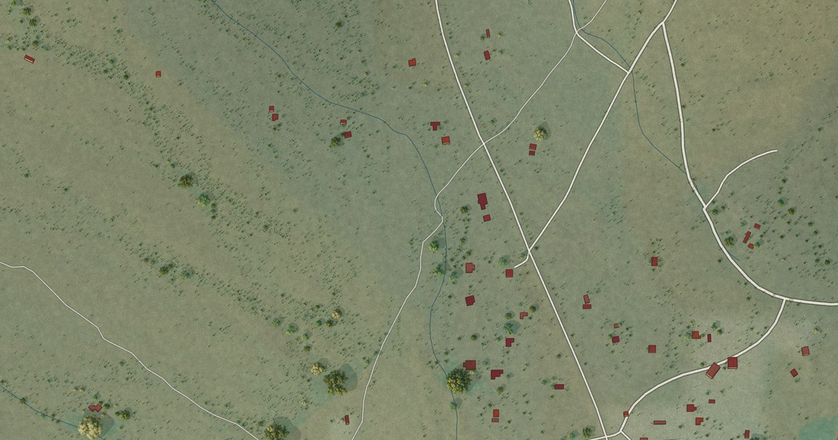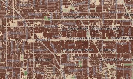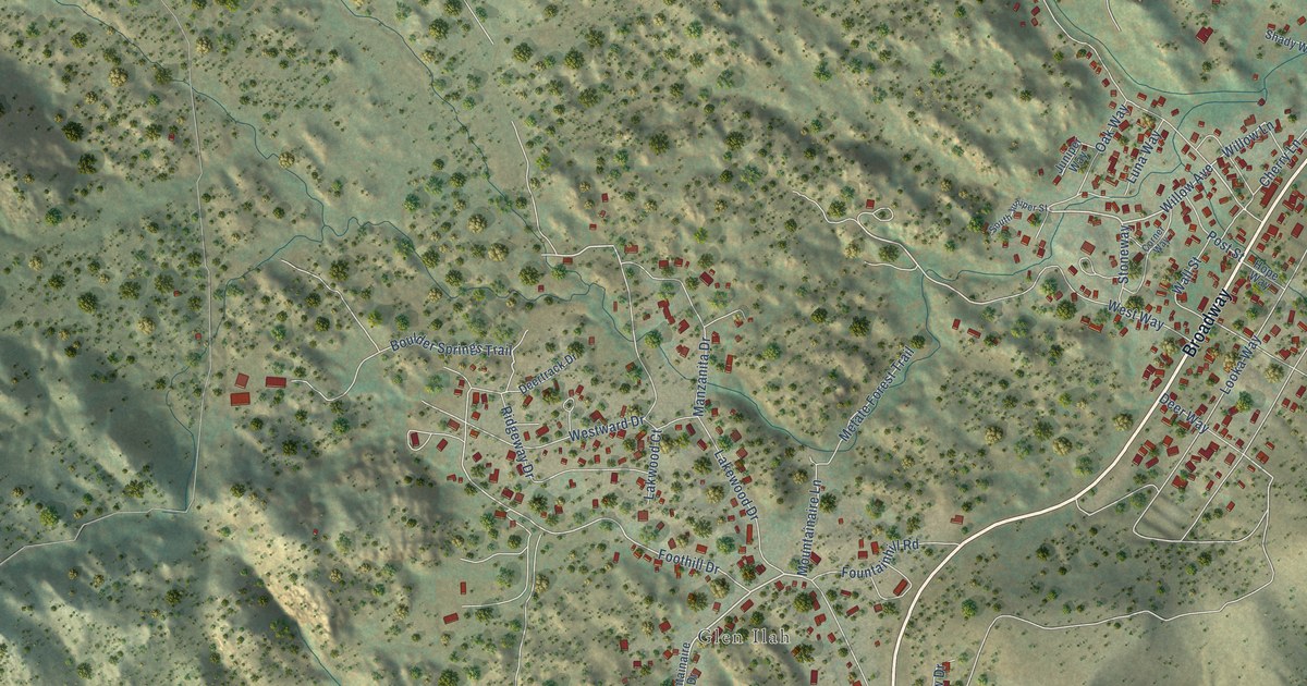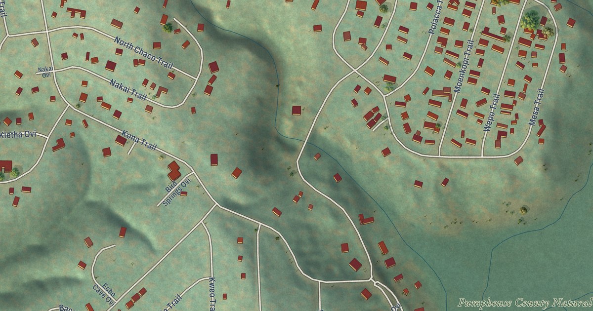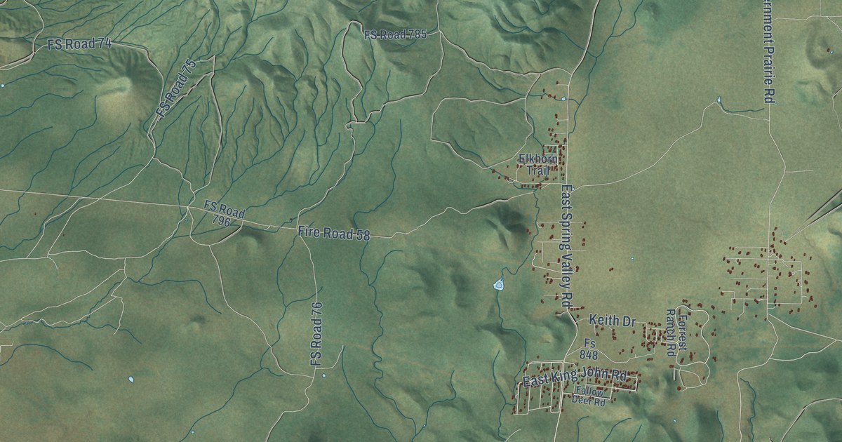
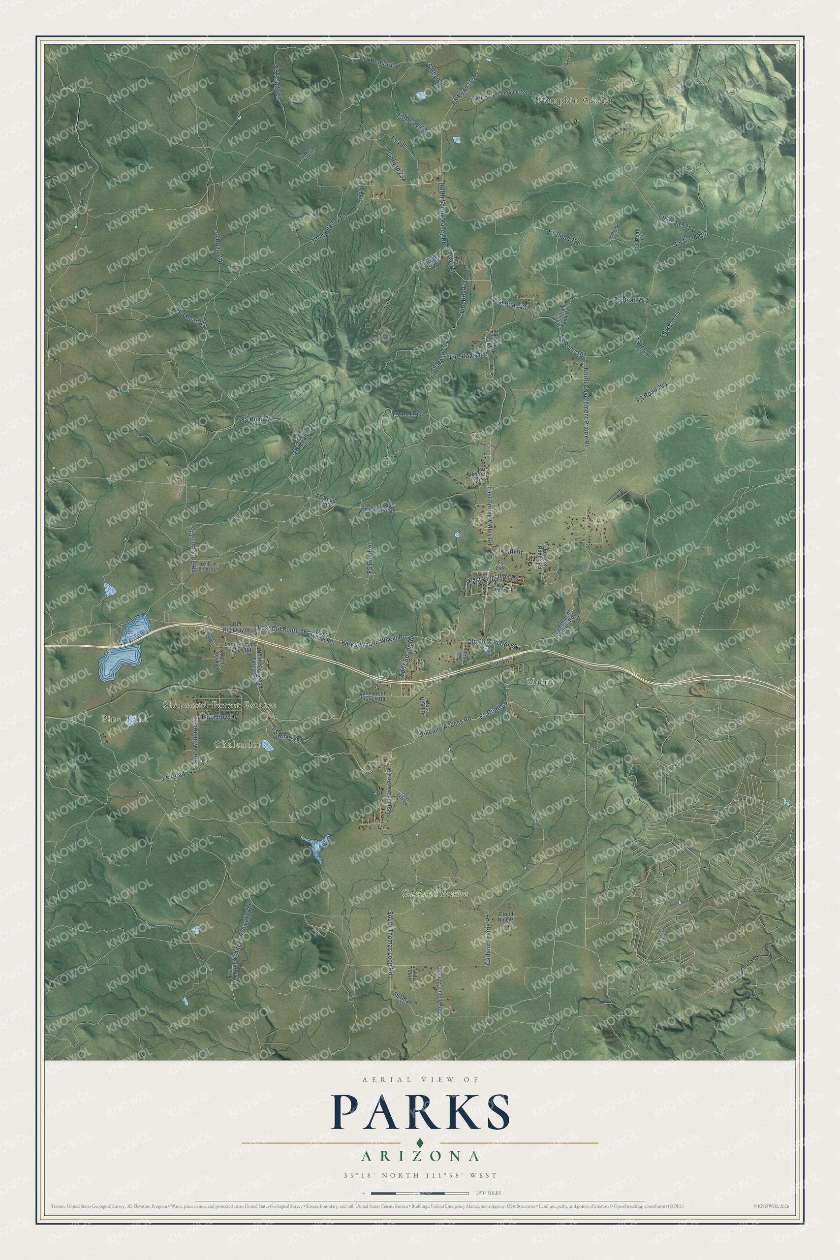
This beautifully detailed map of Parks, Arizona was created in 2026 using aerial imagery combined with modern topographical, census, street and landmark data. It’s a one-of-a-kind view of Parks that combines accurate data with a vintage aesthetic. The map shows every building in its true location, many of the roads carry their names, and the shaded topographic relief shows the shape of the land.
Explore an aerial view of Parks, Arizona
On the map you’ll find Pumpkin Center, Pine Tank, Sherwood Forest Estates, Chalender, Maine, Garland Praire, FS Road 25, and Old 66, along with Pineaire Access Road, Spitz Spring Road, East Old Route 66, Parks-Wagon Wheel Road, and more. Parks sits about 9 miles west of Bellemont, 12 miles east of Williams and 13 miles southeast of Red Lake. If you look closely you can even find your house accurately drawn in its correct location. Zoom in on the preview to look for yours.
Take a closer look at the Parks map
Names on this map
These names are printed on this map.
Places: Pumpkin Center, Pine Tank, Sherwood Forest Estates, Chalender, Maine and Garland Praire.
Streets and roads: Pineaire Access Road, FS Road 25, Spitz Spring Road, East Old Route 66, Parks-Wagon Wheel Road, Old 66, Garland Prairie Road, Old Route 66, North Spring Valley Road, East King John Road, North Government Prairie Road, FS Road 107.
More street names, A to Z
Arbor Lane, Boy Scout Camp Road, Canyon Breeze Lane, Carr Lane, Cloud Nine Place, Cool Pines Road, Dust Devil Drive, East Pittman Valley Road, East Spring Valley Road, Elkhorn Trail, Fallow Deer Road, Fergie Ranch Road, Fire Road 58, Fire Road 76, Fire Road 107, Fire Road 109, Fire Road 141, Fire Road 440, Forrest Ranch Road, Fs 297, Fs 848, FS Road 37, FS Road 62, FS Road 74, FS Road 75, FS Road 76, FS Road 88, FS Road 100, FS Road 135, FS Road 141, FS Road 144, FS Road 171, FS Road 194, FS Road 297, FS Road 438, FS Road 527, FS Road 707, FS Road 712, FS Road 713, FS Road 730, FS Road 734, FS Road 742, FS Road 743, FS Road 751, FS Road 753, FS Road 785, FS Road 786, FS Road 793, FS Road 796, Government Prairie Road, Keith Drive, Lake Street, Lakota Road, Long Bow Drive, Nash Road, North Forest Service 171 Road, North Good Lane, North Sherwood Forest Road, Obsidian Tank Road, Old Highway 66, Somerset Ranch Road, South Minstrel Lane, South Pine Aire Drive, South Thomas Loop Road, Spring Valley Lane, Spring Valley Road, Starlit Prairie Road, Wagon Wheel Road, West Park Road, White Horse Lake Road.
See it on a wall
The Parks map as a framed print. Swipe for more.


This beautifully detailed map of Parks makes an attractive addition to your office, library, or den, and it can even be used to teach children the geography and history of the area. It also makes a great gift for anyone with Parks roots. When you’re done exploring, click here to get your copy of the Parks map.