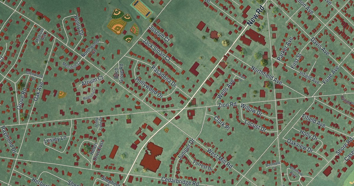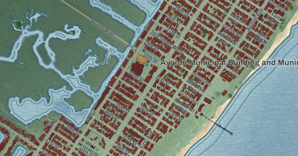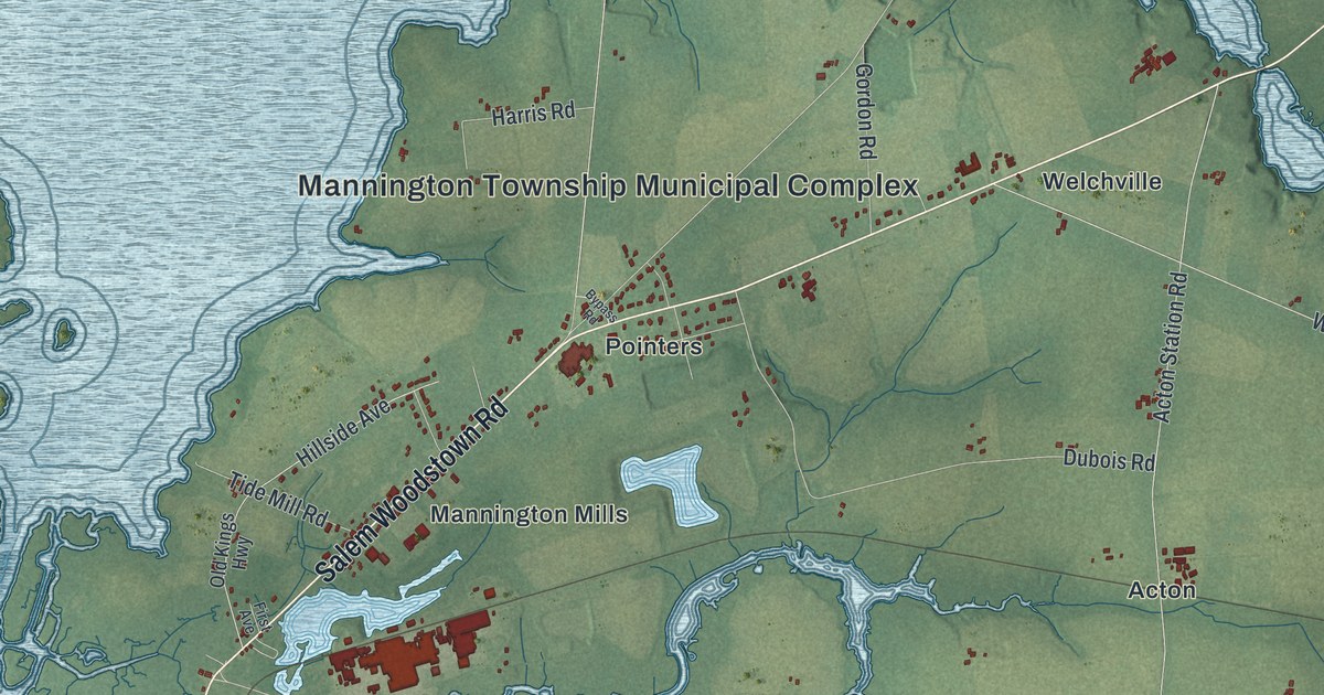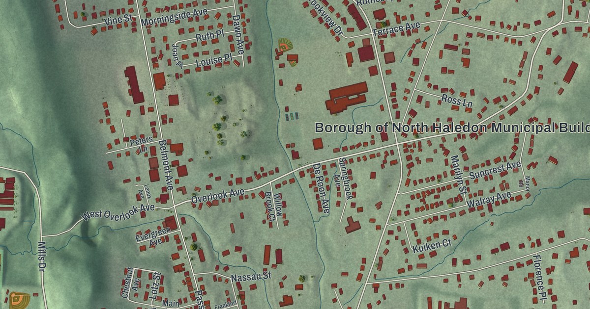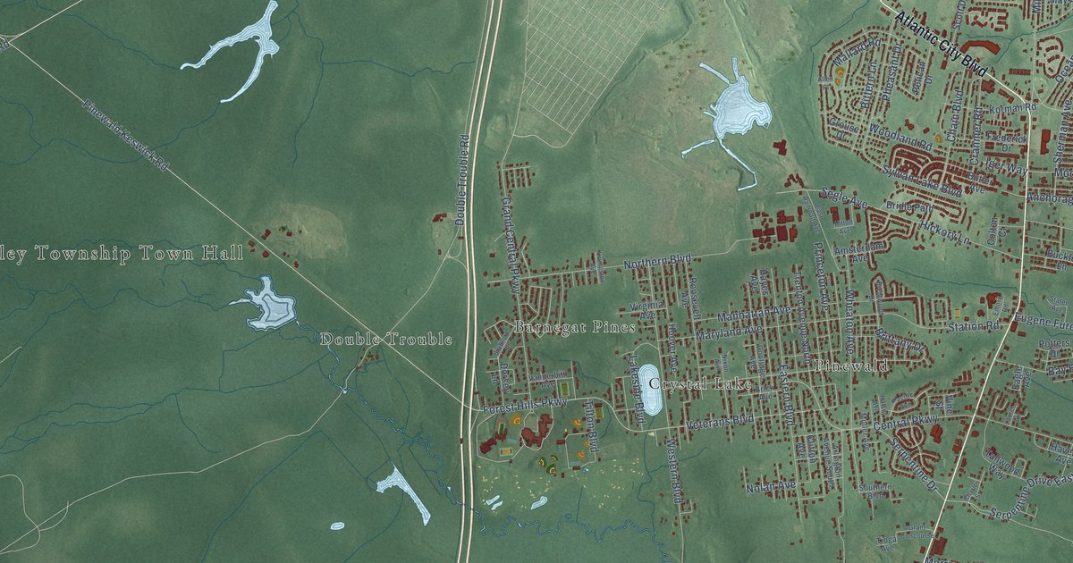
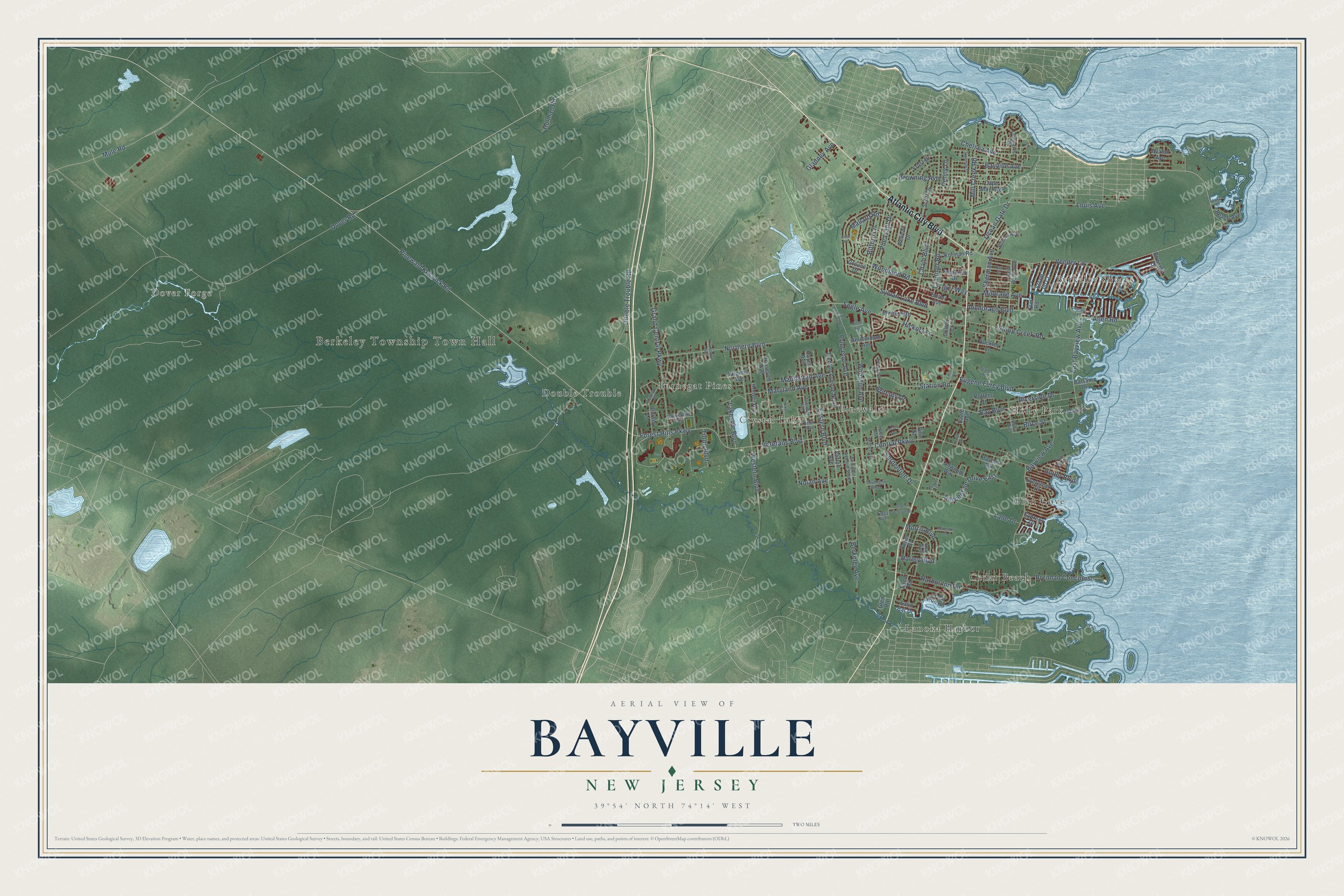
This beautifully detailed map of Bayville, New Jersey was created in 2026 using aerial imagery combined with modern topographical, census, street and landmark data. It’s a one-of-a-kind view of Bayville that combines accurate data with a vintage aesthetic. The map shows every building in its true location, many of the roads carry their names, and the shaded topographic relief shows the shape of the land.
Explore an aerial view of Bayville, New Jersey
On the map you’ll find Berkeley Township Town Hall, Dover Forge, Berkeley Shores, Cedar Beach, Holly Park, Crystal Lake, Lanoka Harbor, Glen Cove, Barnegat Pines, Pinewald, and Double Trouble, along with Atlantic City Boulevard, and more. If you look closely you can even find your house accurately drawn in its correct location. Zoom in on the preview to look for yours.
Did You Know?
From Internet Archive: "Jonathan Lewis, who settled near Bayville about close of last century, tradition says came from near Blue Ball."
Bayville is a community in Ocean County.
Take a closer look at the Bayville map
Names on this map
These names are printed on this map.
Places: Berkeley Township Town Hall, Dover Forge, Berkeley Shores, Cedar Beach, Holly Park, Crystal Lake, Lanoka Harbor, Glen Cove, Barnegat Pines, Pinewald and Double Trouble.
Streets and roads: Atlantic City Boulevard, Pinewald Keswick Road, Forest Hills Parkway, East Bayview Avenue, Bayview Avenue, Veterans Boulevard, Princeton Avenue, Serpentine Drive, Mill Creek Road, Chelsea Avenue, Veeder Lane, Mule Road.
More street names, A to Z
Allen Place, Allen Road, Amsterdam Avenue, Anchorage Boulevard, Arlington Avenue South, Avalon Avenue, Balsam Drive, Bay Boulevard, Bayville Avenue, Beach Avenue, Bell Street, Berkeley Avenue, Birch Street, Bittern Lane, Bowsprit Drive, Bradford Place, Brennan Concourse, Brentwood Drive, Brick Avenue, Bridle Path, Brittany Drive, Browning Avenue, Buckley Lane, Butler Avenue, Butler Boulevard, Cape May Avenue, Cedarcrest Drive, Cedar Run Road, Central Parkway, Chain Boulevard, Charles Street, Clifton Avenue, Colton Court, Coolidge Avenue, Cranmer Road, Cypress Drive, Dorsey Lane, Double Trouble Road, Dover Road, Eagle Avenue, Eastern Boulevard, East Railroad Avenue, Elm Road, Emory Road, Eugene Furey Boulevard, Evergreen Drive, Frederick Drive, Frost Drive, Gladney Avenue, Glen Road, Grand Central Parkway, Grant Concourse, Grouse Drive, Halsey Avenue, Harbor Inn Road, Harley Boulevard, Havens Avenue, Hayes Avenue, Hickory Lane, Hilton Avenue, Holman Road, Hoover Avenue, Huntley Avenue, Iger Way, Ivy Court, Jeanette Street, Keller Street, Korman Road, Lake Drive, Lakeside Boulevard, Lane Drive, Laurel Lane, Lee Avenue, Livingston Avenue, Louis Avenue, Main Street, Mallard Road, Manhattan Avenue, Maryland Avenue, Moorage Avenue, Morris Boulevard, Muller Avenue, Nixon Avenue, Nolan Avenue, North Bay Drive, Northern Boulevard, Ocean Gate Drive, Osprey Lane, Pacific Avenue, Pelican Drive, Penny Lane, Pheasant Drive, Potters Drive, Red Bank Avenue, Riverside Drive, Robin Avenue, Roosevelt Avenue, Sand Bar Drive, Sand Road, Scott Drive, Segle Avenue, Serpentine Drive East, Sherman Avenue, Sloop Creek Road, Southern Boulevard, Staten Avenue, Station Road, Stollman Street, Storm Jib Court, Sylvan Lake Boulevard, Tallwood Way, Tilton Boulevard, Tioga Avenue, Trenton Avenue North, Vanderbilt Avenue, Vine Street, Virginia Avenue, Western Boulevard, Wheaton Avenue, Woodland Road.
See it on a wall
The Bayville map as a framed print. Swipe for more.


This beautifully detailed map of Bayville makes an attractive addition to your office, library, or den, and it can even be used to teach children the geography and history of the area. It also makes a great gift for anyone who grew up in Bayville or moved away. When you’re done exploring, click here to get your copy of the Bayville map.