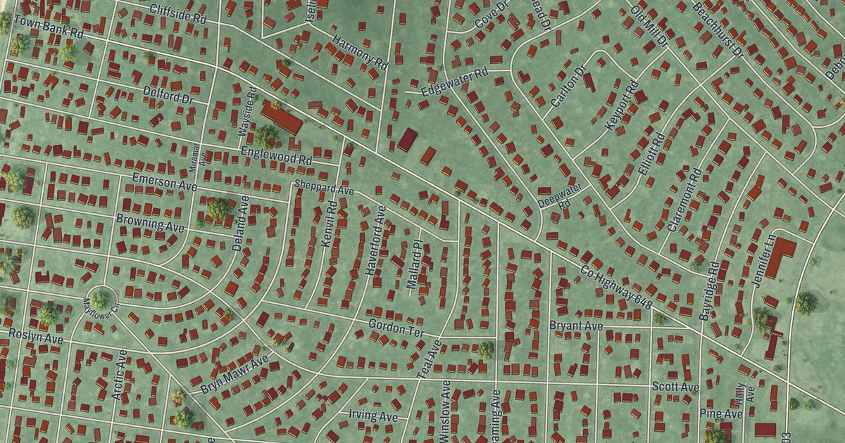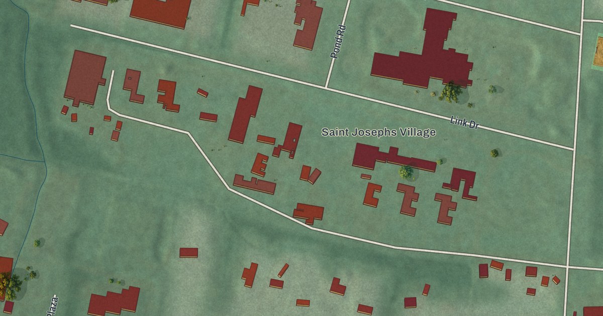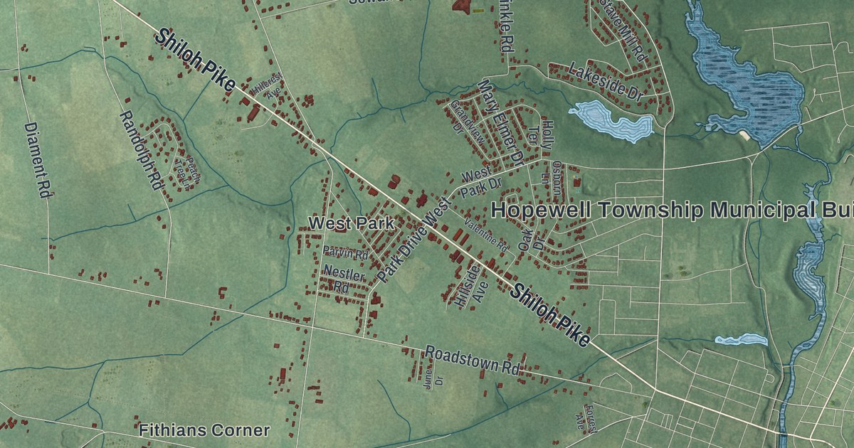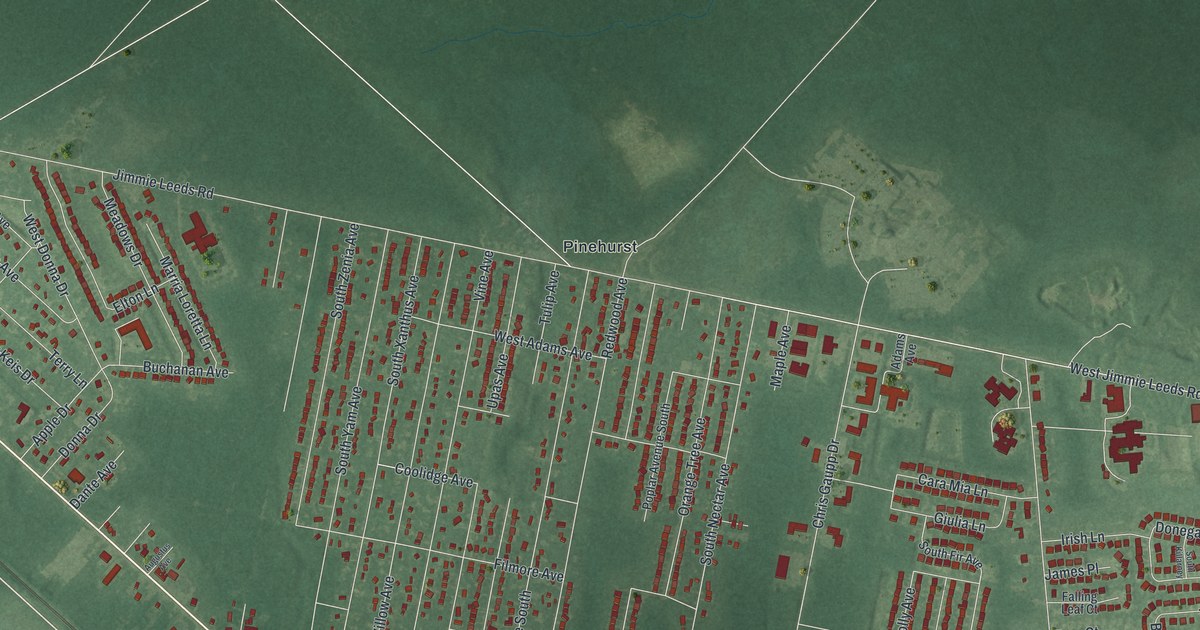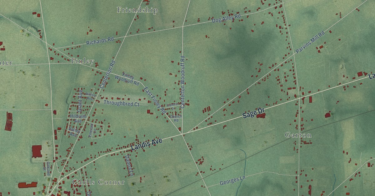
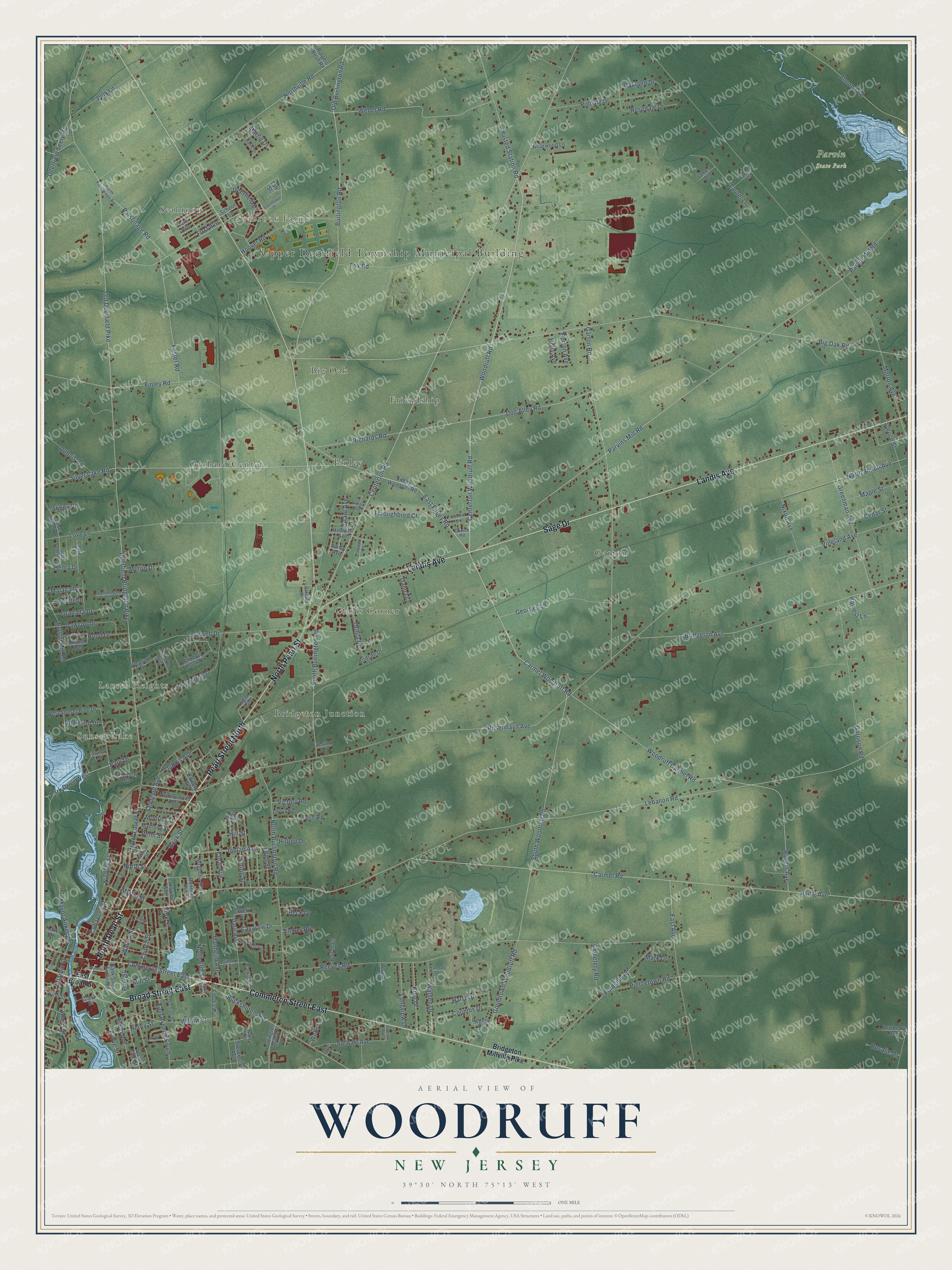
This beautifully detailed map of Woodruff, New Jersey was created in 2026 using aerial imagery combined with modern topographical, census, street and landmark data. It’s a one-of-a-kind view of Woodruff that combines accurate data with a vintage aesthetic. The map shows every building in its true location, many of the roads carry their names, and the shaded topographic relief shows the shape of the land.
Explore an aerial view of Woodruff, New Jersey
On the map you’ll find Upper Deerfield Township Municipal Building, Seabrook Farms, Sunset Lake, Laurel Heights, Parvin State Park, Garton, Orchard Center, Friendship, Carlls Corner, Finley, Big Oak, Bridgeton Junction, and more. If you look closely you can even find your house accurately drawn in its correct location. Zoom in on the preview to look for yours.
Did You Know?
From Internet Archive: "Joel Garrison has always been faithful in the discharge of religious obligations, and has been in the communion of the Methodist Episcopal church at Woodruff Station, of which he has served as steward."
Woodruff is a community in Cumberland County.
Take a closer look at the Woodruff map
Names on this map
These names are printed on this map.
Places: Upper Deerfield Township Municipal Building, Seabrook Farms, Sunset Lake, Laurel Heights, Parvin State Park, Garton, Orchard Center, Friendship, Carlls Corner, Finley, Big Oak, Bridgeton Junction and Seabrook.
Streets and roads: Commerce Street East, North Pearl Street, Pearl Street North, Broad Street East, Landis Avenue, Sage Drive, Centerton Woodruff Road, Woodruff Road, Buckshutem Road, East Finley Road, South Woodruff Road, Carmel Road.
More street names, A to Z
Abbey Road, Almond Road, American Avenue, Atlantic Street, Bank Street, Bank Street Extended, Beck Drive, Big Oak Road, Birch Street, Birdsall Drive, Briarwood Lane, Bridgeton Avenue, Bridgeton Millville Pike, Buirch Lane, Burlington Manor, Burlington Road, Button Mill Road, Carmel Woodruff Road, Casarow Drive, Cedar Street, Cemetery Road, Centerton Road, Chestnut Avenue, Church Road, Church Street, Cocelli Drive, Cohansey Street, Coombs Drive, Coral Avenue, Cornwell Drive, Cumberland Avenue, Danna Lane, Danna Terrace, Dare Avenue, Davis Drive, Dawson Drive, Deerfield Bridgeton Pike, Deerfield Drive, Deerfield Seely Road, Dewberry Avenue, Division Street, Dog Alley Road, Dogwood Drive, Dubois Avenue, Dubois Road, East Avenue, East Avenue South, East Broad Street, Edward Avenue, Eisenhower Drive, Emerald Lane, Ewing Street, Fern Road, Finley Road, Finley Woodruff Road, First Avenue, Flordia Avenue, Fordville Road, Foster Road, Fox Road, Franklin Street, Franmar Drive, Garrison Road, Garton Road, Georges Lane, Gilmore Street, Glamar Drive, Glass Street, Gouldtown Woodruff Road, Granada Drive, Grant Avenue, Greenman Avenue, Grove Street, Hannan Drive, Harrison Street, Hartz Drive, Harvest Lane, Haynes Avenue, Henry Drive, Henry Street, Hildreth Avenue, Hill Street, Hilltop Drive, Hilton Avenue, Holly Avenue, Hood Drive, Hoover Road, Horton Avenue, Husted Station Road, Indian Avenue, Irving Avenue, Jack Robert Drive, James Drive, King Drive, Kings Way, Lake Street, Lakeview Avenue, Laura Court, Laurel Heights Drive, Laurel Lane, Lebanon Road, Liberty Road, Logan Street, Longview Drive, Love Lane, Madison Street, Magnolia Avenue, Malaga Drive, Manheim Avenue, Maple Street, Marino Drive, Mark Drive, Martin Drive, Mayor Aitken Drive, Merlin Drive, Merritt Avenue, Mill Street, Monroe Street, Morton Avenue, Myrtle Street, Nichols Street, Nixon Avenue, North Burlington Road, North Elm Street, North Laurel Street, North Parsonage Road, North Shiloh Avenue, North Street, Northville Road, Oakland Drive, Oakland Street, Old Burlington Road, Old Deerfield Pike, Orillia Drive, Park Avenue, Park Drive, Park Drive West, Parker Street, Parkview Heights, Parsonage Road, Parvin Mill Road, Parvins Mill Road, Penn Street, Piercetown Road, Pindale Drive, Pine Street, Pleasant Drive, Polk Lane, Railroad Avenue, Reeves Road, Richards Road, Roberts Avenue, Rogers Avenue, Rogers Drive, Rosalie Drive, Rosedale Drive, Rosenhayn Avenue, Rutgers Resh Road, School Lane, Seville Drive, Shadow Brook Drive, Silver Brook Drive, Silver Lake Road, South Avenue, South Burlington Road, South Elm Street, South Pine Street, Spring Street, Spruce Street, Stevenson Avenue, Stewart Avenue, Sunset Avenue, Sunset Lane, Taft Street, Third Avenue, Throughbred Court, Timber Road, Tunbridge Drive, Twin Oaks Drive, Uhland Avenue, Union Street, Valley Avenue, Victory Road, Vineland Avenue, Vine Street, Walden Drive, Walnut Street, Warren Street, Water Street, Wayman Lane, Weber Road, Wells Lane, West Sunset Pine Drive, Willow Street, Woodruff Carmel Road, York Street.
See it on a wall
The Woodruff map as a framed print. Swipe for more.


This beautifully detailed map of Woodruff makes an attractive addition to your office, library, or den, and it can even be used to teach children the geography and history of the area. It also makes a great gift for someone who left Woodruff and still calls it home. When you’re done exploring, click here to get your copy of the Woodruff map.