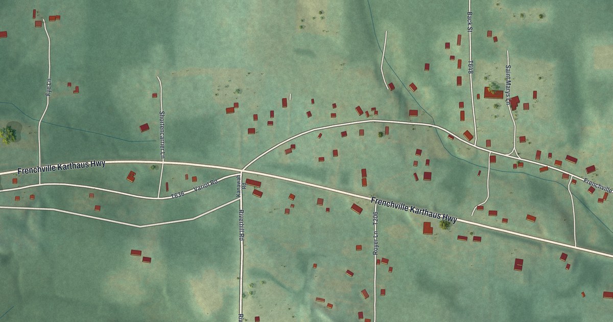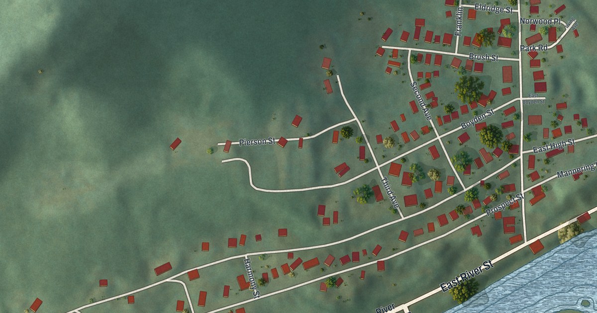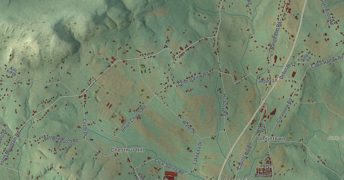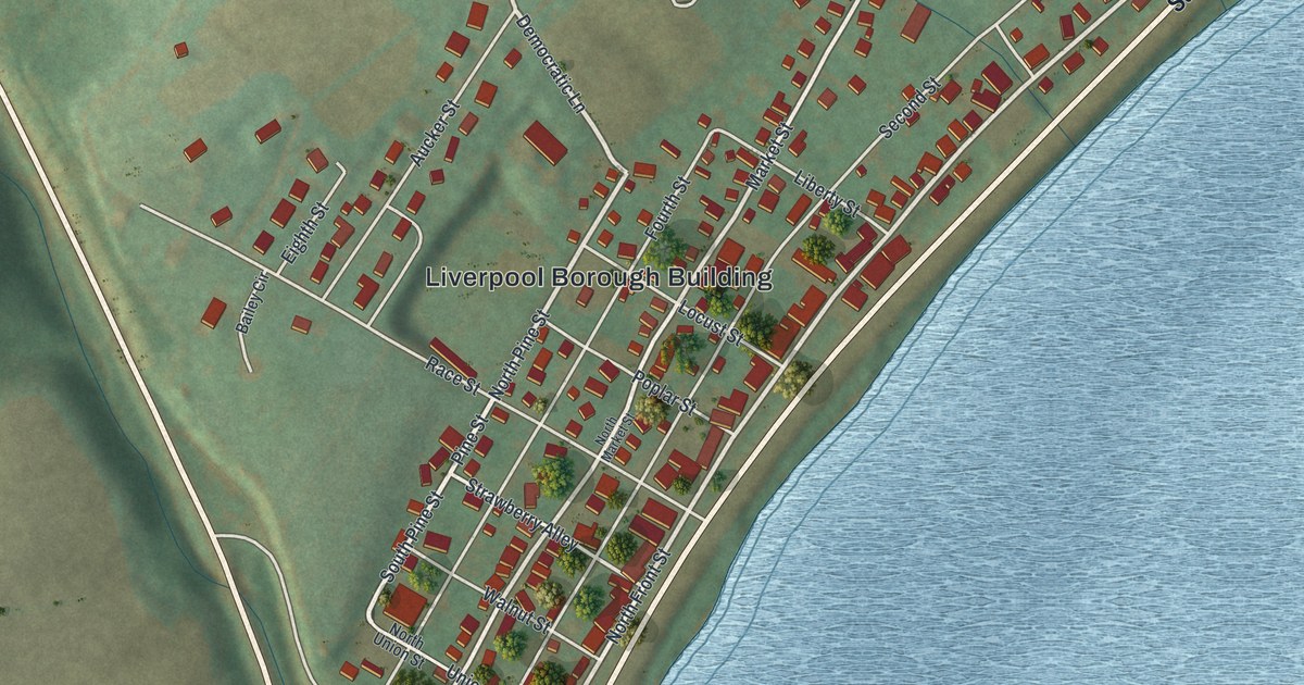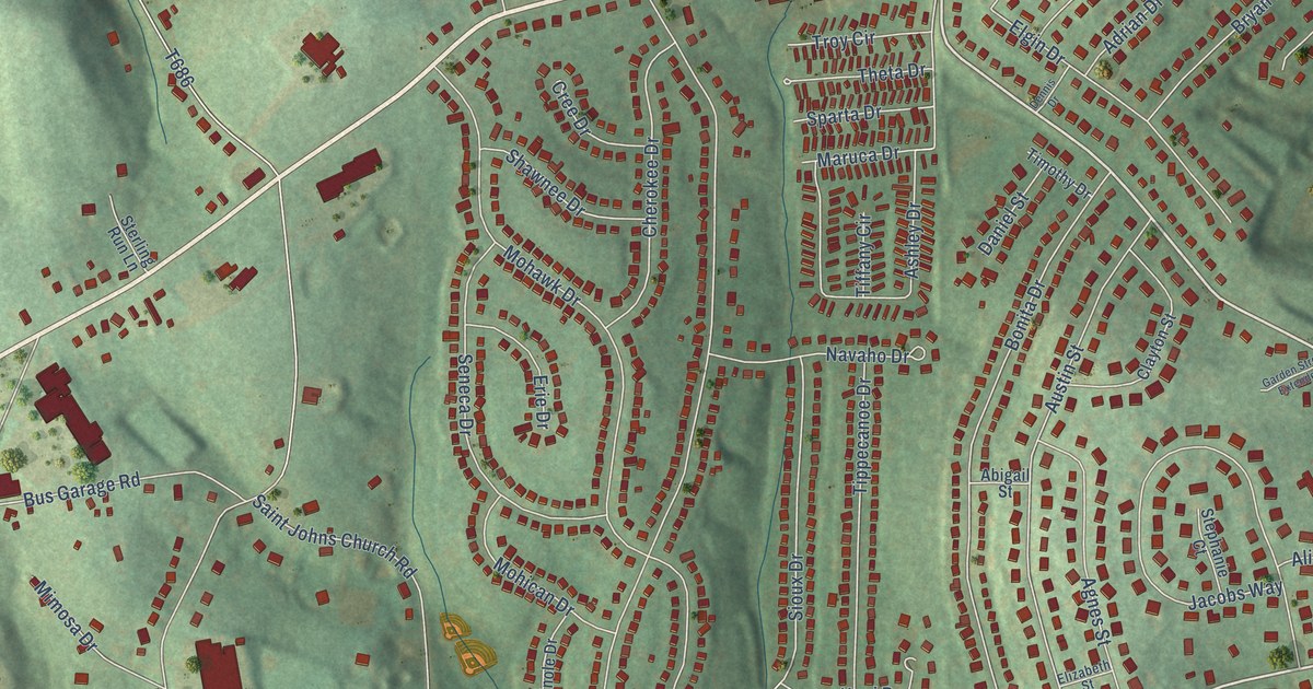
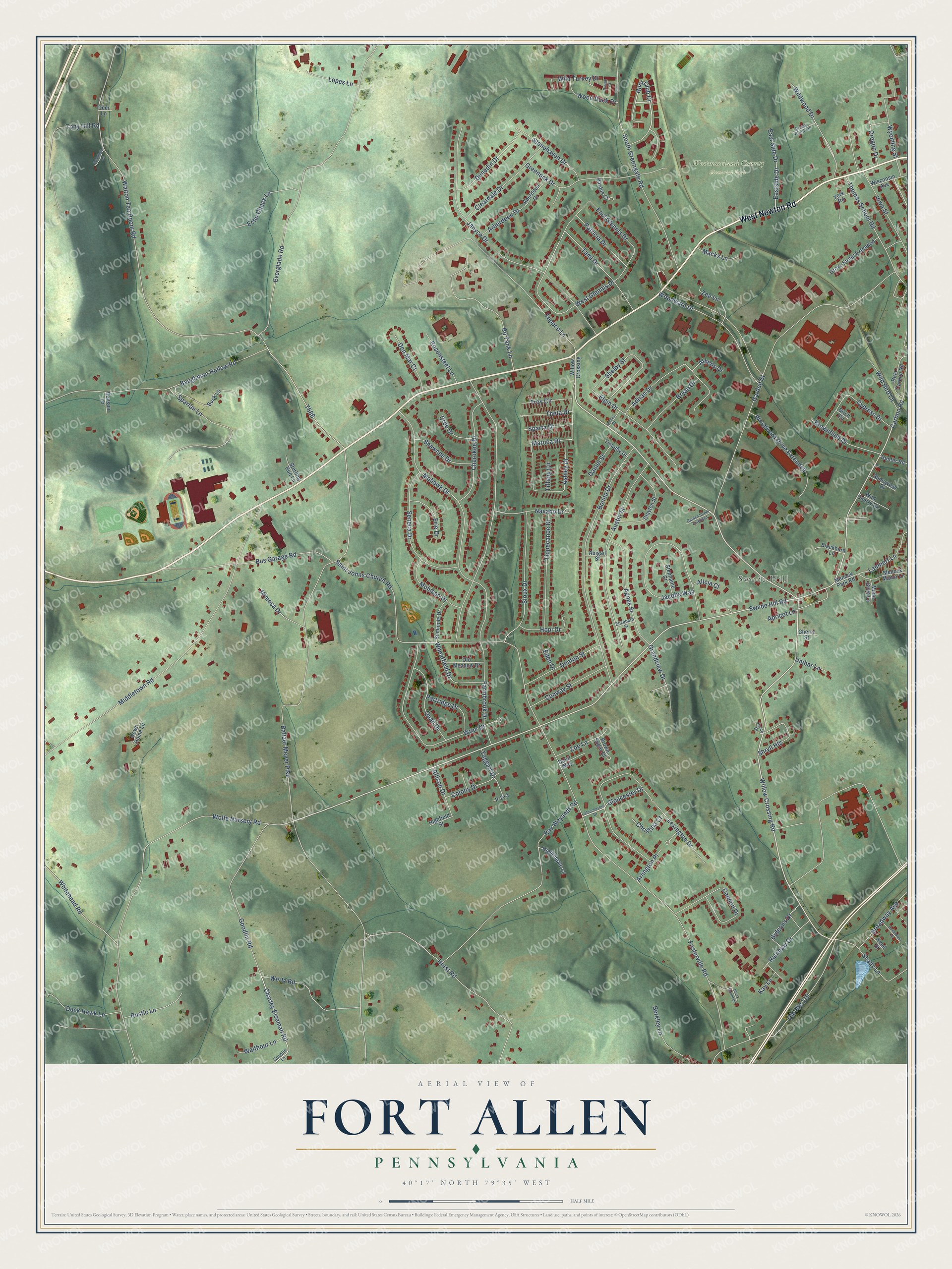
This beautifully detailed map of Fort Allen, Pennsylvania was created in 2026 using aerial imagery combined with modern topographical, census, street and landmark data. It’s a one-of-a-kind view of Fort Allen that combines accurate data with a vintage aesthetic. The map shows every building in its true location, many of the roads carry their names, and the shaded topographic relief shows the shape of the land.
Explore an aerial view of Fort Allen, Pennsylvania
On the map you’ll find Swede Hill and Westmoreland County Memorial Park, along with West Newton Road, Willow Crossing Road, Hunt Club Drive, Swede Hill Road, Charley Eiseman Road, Gideons Drive, Gloucester Drive, Wildwood Drive, Fosterville Road, Baltzer Meyer Pike, and more. If you look closely you can even find your house accurately drawn in its correct location. Zoom in on the preview to look for yours.
Did You Know?
From Internet Archive: "The fort erected opposite Gnadenhiitten was named Fort Allen, in honor of William Allen, chief justice of the Province."
Fort Allen is a community in Westmoreland County.
Take a closer look at the Fort Allen map
Names on this map
These names are printed on this map.
Places: Swede Hill and Westmoreland County Memorial Park.
Streets and roads: West Newton Road, Willow Crossing Road, Hunt Club Drive, Swede Hill Road, Charley Eiseman Road, Gideons Drive, Gloucester Drive, Wildwood Drive, Fosterville Road, Baltzer Meyer Pike, Walton Tea Room Road, Wolfe Nursery Road.
More street names, A to Z
Aberdeen Drive, Abigail Street, Adrian Drive, Agnes Street, Alicia Court, Allison Drive, Apricot Lane, Arberdeen Drive, Arlington Place, Arrow Point Lane, Ashley Drive, Athens Drive, Austin Street, Baughman Hollow Road, Benson Lane, Berkley Lane, Birch Circle, Blackburn Lane, Black Mountain, Bonita Drive, Bp Tank Lane, Broadway Avenue, Brownfield Drive, Brown Sugar Court, Bryan Drive, Buck Lane, Bus Garage Road, Cannon Drive, Carbon Road, Cherokee Drive, Cherry Street, Christina Court, Clayton Street, Cleardale Drive, Colony Drive, Conway Street, Cree Drive, Cypress Drive, Dalur Way, Daniel Street, Deer Lane, Den Mar Court, Dennis Drive, Denton Street, Donaldson Street, Down Home Lane, Duck Hawk Lane, Dunedin Drive, East Glennis Drive, East Side Drive, Eastside Drive, Echo Check Lane, Eden Drive, Elgin Drive, Elizabeth Street, Erie Drive, Everglade Road, Farmbrook Drive, Garden Street, Garden Street Extended, Glouchester Drive, Goodlin Lane, Goodlin Road, Grandview Drive, Greenock Drive, Grove Street Extended, Hassinger Lane, Head Street, Highfield Street, Hopi Drive, Hunter Road, Hurst Road, Iowa Street, Jacobs Way, Janyce Drive, Joyce Drive, Kay Lane, Lambert Lane, Lexington Drive, Lopes Lane, Macks Lane, Maruca Drive, Menock Manor Lane, Menock Park Road, Middletown Road, Mimosa Drive, Mohawk Drive, Mohican Drive, Moon Glow Lane, Navaho Drive, Nightingale Lane, Old Meadow Drive, Old Route 119, Oregon Drive, P-213, Pardus Court, Partridge Drive, Patricia Drive, Pintail Court, Quail Drive, Rainbow Drive, Ray Weyandt Road, Rear Carbon Road, Rosensteel Lane, Rustic Lane, Saint Johns Church Road, Seminole Drive, Seneca Drive, Shady Lane, Shawnee Drive, Shelby Street, Shryll Heights, Sioux Drive, South Greengate Road, Sparta Drive, Spartan Lane, Stephanie Court, Sterling Run Lane, Stonehaven Drive, Sunnyview Drive, Taggart Drive, Tami Drive, Teppco Lane, Theta Drive, Thomas School Road, Tiffany Circle, Timothy Drive, Tippecanoe Drive, Tony Hill Road, Troy Circle, Umbar Lane, Walthour Lane, Wertz Road, West Glennis Drive, Wheatfield Drive, Whitehead Road, Wild Bird Lane, Wild Cherry Drive, Wild Turkey Drive, Willow Crossing, Wisconsin Avenue, Wood Duck Drive, Woodward Drive, Woodward Drive Extended, Wren Drive, Wyoming Street, York Road, Zee Lane, Zoe Lane.
See it on a wall
The Fort Allen map as a framed print. Swipe for more.


This beautifully detailed map of Fort Allen makes an attractive addition to your office, library, or den, and it can even be used to teach children the geography and history of the area. It also makes a great gift for anyone with Fort Allen roots. When you’re done exploring, click here to get your copy of the Fort Allen map.