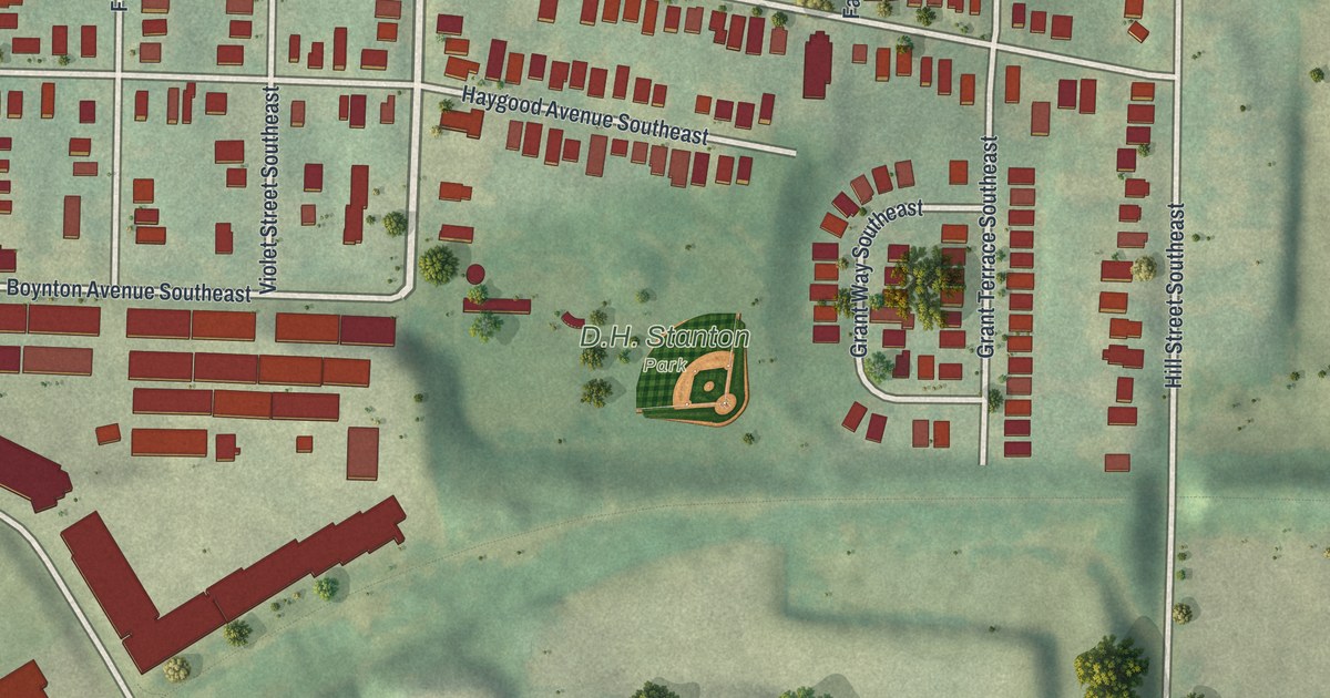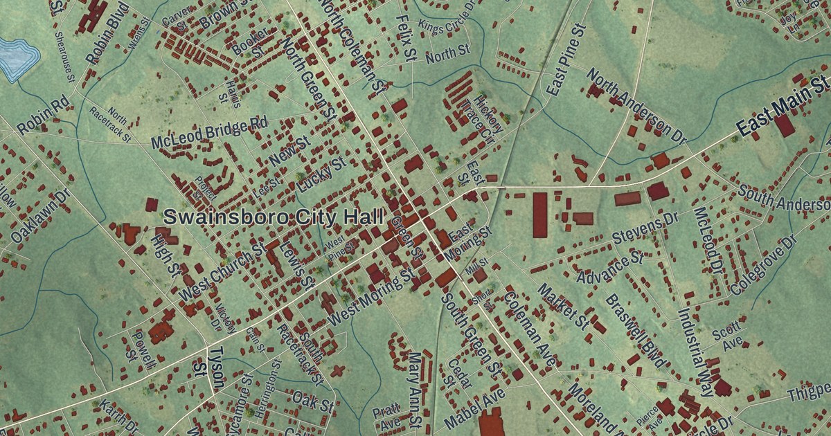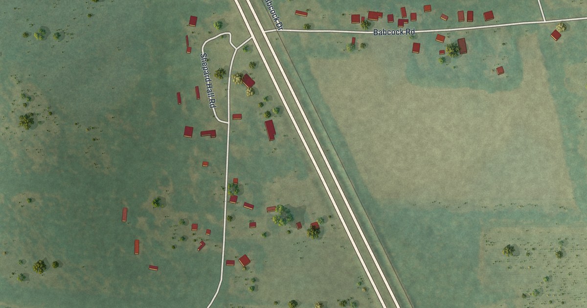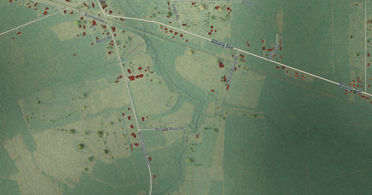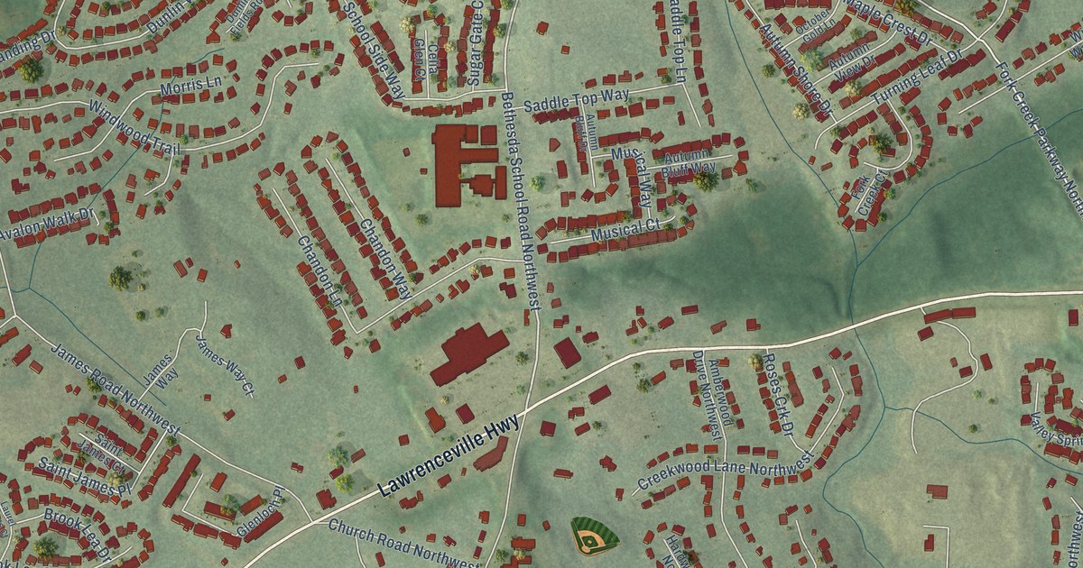
This beautifully detailed map of Bethesda, Georgia was created in 2026 using aerial imagery combined with modern topographical, census, street and landmark data. It’s a one-of-a-kind view of Bethesda that combines accurate data with a vintage aesthetic. The map shows every building in its true location, many of the roads carry their names, and the shaded topographic relief shows the shape of the land.
Explore an aerial view of Bethesda, Georgia
On the map you’ll find Sweet Water Park, along with Lawrenceville Highway, Jordan Drive Southwest, Jordan Drive Northwest, Dunlin Fields Drive, Gloster Road Northwest, Bethesda School Road Northwest, Gloster Road Southwest, East Cardinal Lane, Cruse Road Northwest, Bethesda Church Road, Paden Drive, and more. If you look closely you can even find your house accurately drawn in its correct location. Zoom in on the preview to look for yours.
Did You Know?
From Internet Archive: "THE GEORGIA HISTORICAL QUARTERLY. 51 The Union Society which, for many years, has had the management of the Bethesda Orphan House, is supposed to have been founded about the year 1750."
Bethesda is a community in Gwinnett County.
Take a closer look at the Bethesda map
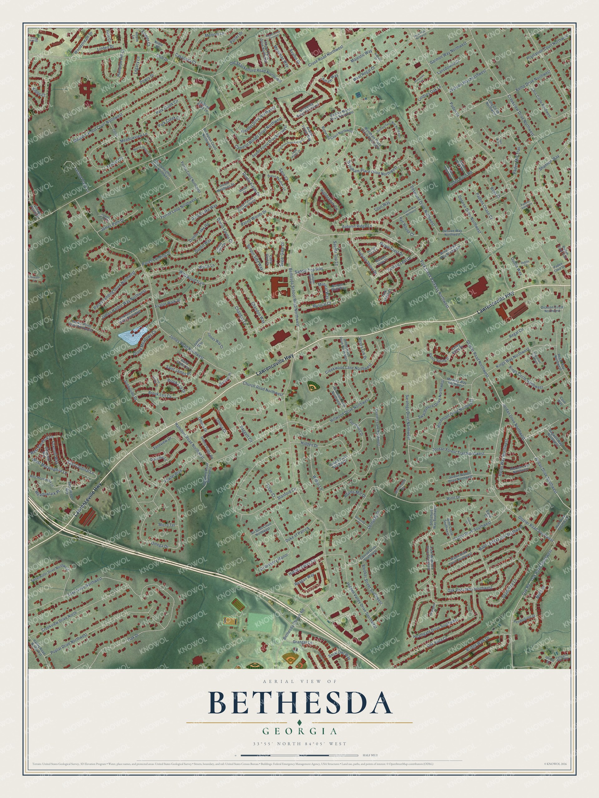
Names on this map
These names are printed on this map.
Places: Sweet Water Park.
Streets and roads: Lawrenceville Highway, Jordan Drive Southwest, Jordan Drive Northwest, Dunlin Fields Drive, Gloster Road Northwest, Bethesda School Road Northwest, Gloster Road Southwest, East Cardinal Lane, Cruse Road Northwest, Bethesda Church Road, Paden Drive, James Road Northwest.
More street names, A to Z
Adams Mill Drive, Amalfi Way, Amberwood Drive Northwest, Arendel Drive Northwest, Autumn Bluff Drive, Autumn Bluff Way, Autumn Ridge Lane, Autumn Shore Drive, Autumn View Drive, Avalon Drive, Avalon Forest Drive Northwest, Avalon Forest Way, Avalon Forrest Drive Northwest, Avalon Meadows Lane, Avalon Walk Drive, Baggett Circle, Bagwell Way Northwest, Barkley Manor Drive Northwest, Bethesda Court Northwest, Bleeker Street Southwest, Bridge Walk Drive, Brompton Court Northwest, Brook Lea Cv, Brook Lea Drive, Camelot Woods Drive Northwest, Camille Way Northwest, Casanova Court, Castle Drive Southwest, Celia Glen Court, Chandon Lane, Chandon Way, Chris Circle Northwest, Church Road Northwest, Clover, Club Drive, Conrad Drive Southwest, Cove Way, Creekview Drive North, Creekview Drive Northwest, Creekwood Lane Northwest, Deerfield Way, Dempsey Drive, Dempsey Place, Desiree Drive Northwest, Desiree Way Northwest, Desmond Drive Northwest, Dianthus Lane, Dickson Circle Northwest, Dowry Drive, Dublin Court, Dublin Way, Duke of Patrick, Duncan Court, Dunlin Court, Dunlin Farms Court, Dunlin Fields Road, Dunlin Lake Road, Dunlin Lake Way, Dunlin Meadows Drive, Dunlin Way, Earle Court, East Howell Drive, Empire Court, Fernview Drive, Ferrite Court Northwest, Ferrite Loop Northwest, Fescue Circle, Fork Creek Court, Fork Creek Parkway Northwest, Fowler Boulevard, Foxcroft Way, Garmon Way Northwest, Glenloch Place, Granger Lane, Grove Meadows Cv, Hamilton Road Northwest, Hammett Road Northwest, Hampton Hill Court, Harbor Point Court Northwest, Hardwood Lane Northwest, Harper Ferry Drive Northwest, Harpers Ferry Crossing, Heathgate Court, Heathgate Drive Southwest, Hidden Drive, Hidden Valley Circle, Hidden Valley Drive Southwest, Highbranch Circle, Hillwood Drive Northwest, Holly Circle, Howell Court Northwest, Huff Drive Southwest, Hulan Way Northwest, Jackson Way Northwest, James Harbor Way Northwest, James Path Court, James Path Drive, James Way, James Way Court, Jordan Forest Trail Northwest, Jordan Woods Drive Northwest, Jousters Lane Northwest, Kemp Drive Northwest, Kibbe Court, Kimbrooke Trail, Kings Circle Northwest, Kings Court Northwest, Kings Way Northwest, Lake Drive Northwest, Lansdowne Court, Laurel Springs Court, Lealand Place Lane, Legacy Lane, Leland Place Lane, Linden Drive, Lindsey Oak Lane, Longacre Park Way, Long Circle Northwest, Long Iron Drive, Loral Pines Court, Loral Pines Drive Northwest, Majestic Court, Majestic Way, Maple Crest Drive, Maple Vista Lane Southwest, Maple Walk Court Southwest, Martin Heights Drive, Martin Heights Drive Northwest, Meadowlark Place, Meadowview Lane, Meadow Wood Court Northwest, Memory Lane, Merrimac Way, Micro Terrace, Mirandy Way Northwest, Molly Drive, Morris Lane, Musical Court, Musical Way, Noble Court, Normandy Ridge Northwest, Oak Drive, Oak Road, Oak Road Southwest, Oaktree Park Drive Northwest, Oak Vista Court, Oak Vista Way Southwest, October Gold Lane, Old Shackelford Road Northwest, Omega Drive, Omnia Court, Omnia Drive, Omnia Ridge Road, Paces Landing Drive, Paces Landing Drive Northwest, Paces Woods Drive, Paden Birch Road, Paden Bluff Way, Paden Cove Drive, Paden Cove Trail, Paden Mill Trail, Paden Ridge Way, Padens Chase Court, Padens Valley Lane, Park Creek Circle, Park Creek Court, Park Meadows Drive Southwest, Pendergrast Drive, Plantation Court Northwest, Plennie Lane Northwest, Poplar Drive Northwest, Porter Drive, Reagan Way, Realm Lane, Regal Circle, Regal Court Northwest, Regal Way Northwest, Rosemont Drive Northwest, Roses Crk Drive, Roys Court, Rye House Court, Sace Court, Saddle Top Lane, Saddle Top Way, Saint James Court, Saint James Place, Saratoga Drive Northwest, School Side Way, Shadetree Lane, Shannon Way, Sir Gregory Manor, Sir Scott Court Northwest, Snow Owl Way, Spill Way Court, Stanford Circle, Stillwater Lane, Stonehurst Way Southwest, Sugar Gate Court, Summerfield Way Northwest, Sunnyside Drive, Swarthmore Drive Northwest, Sweetwater Drive Northwest, Sweetwater Way, Titon Way, Tolan Court, Turning Leaf Drive, Ulrich Drive, Valley Road Northwest, Valley Sping Drive, Valley Spring Drive, Vintage Pointe Drive, West Cardinal Lane, West Meadowlark Lane, West Mockingbird Lane, West Regal Court, Wilbur Lane, Windstream Way Northwest, Windwood Trail, Winncastle Drive, Winn Circle Southwest, Winn Drive, Woodstream Drive, Wyndham Place Circle Northwest, Wyndham Place Drive Northwest.
See it on a wall
The Bethesda map as a framed print. Swipe for more.


This beautifully detailed map of Bethesda makes an attractive addition to your office, library, or den, and it can even be used to teach children the geography and history of the area. It also makes a great gift for someone who left Bethesda and still calls it home. When you’re done exploring, click here to get your copy of the Bethesda map.