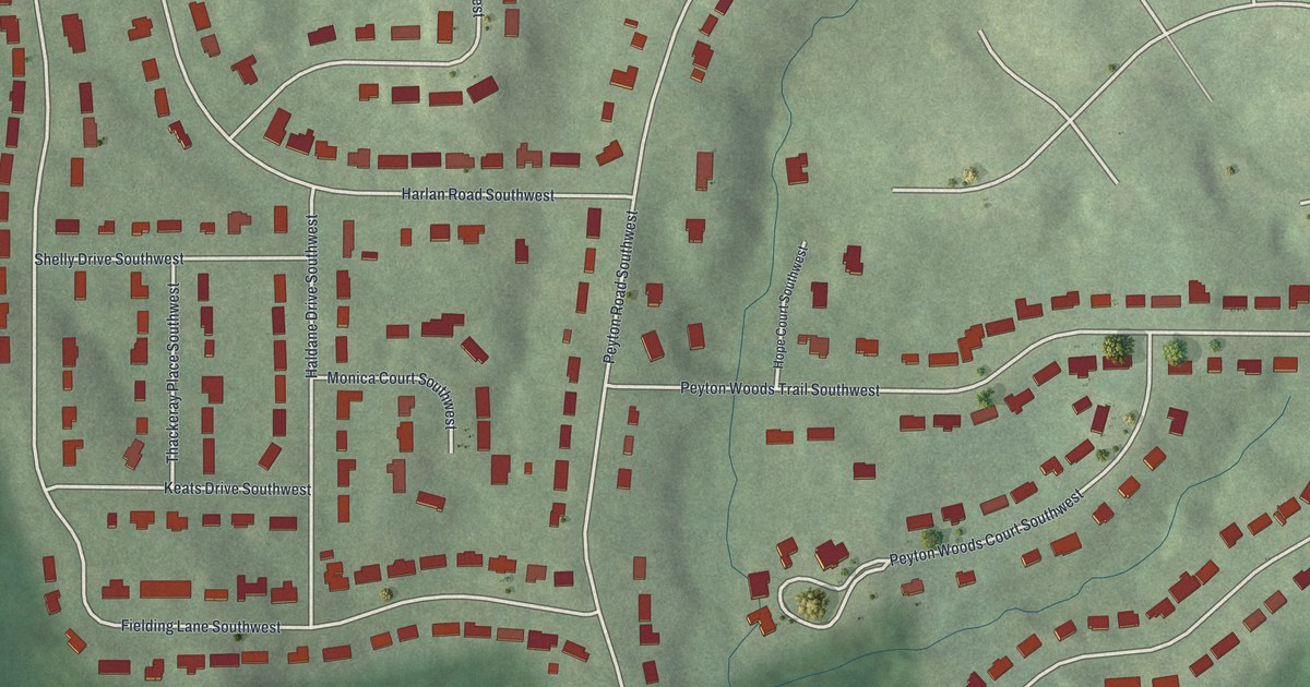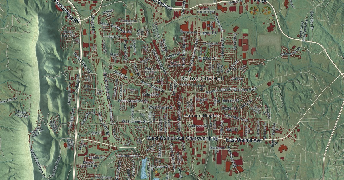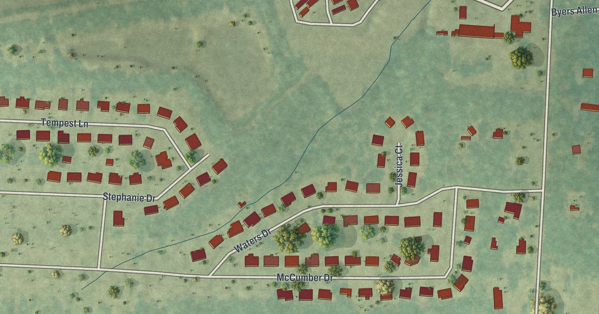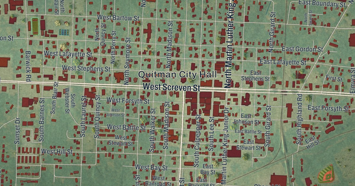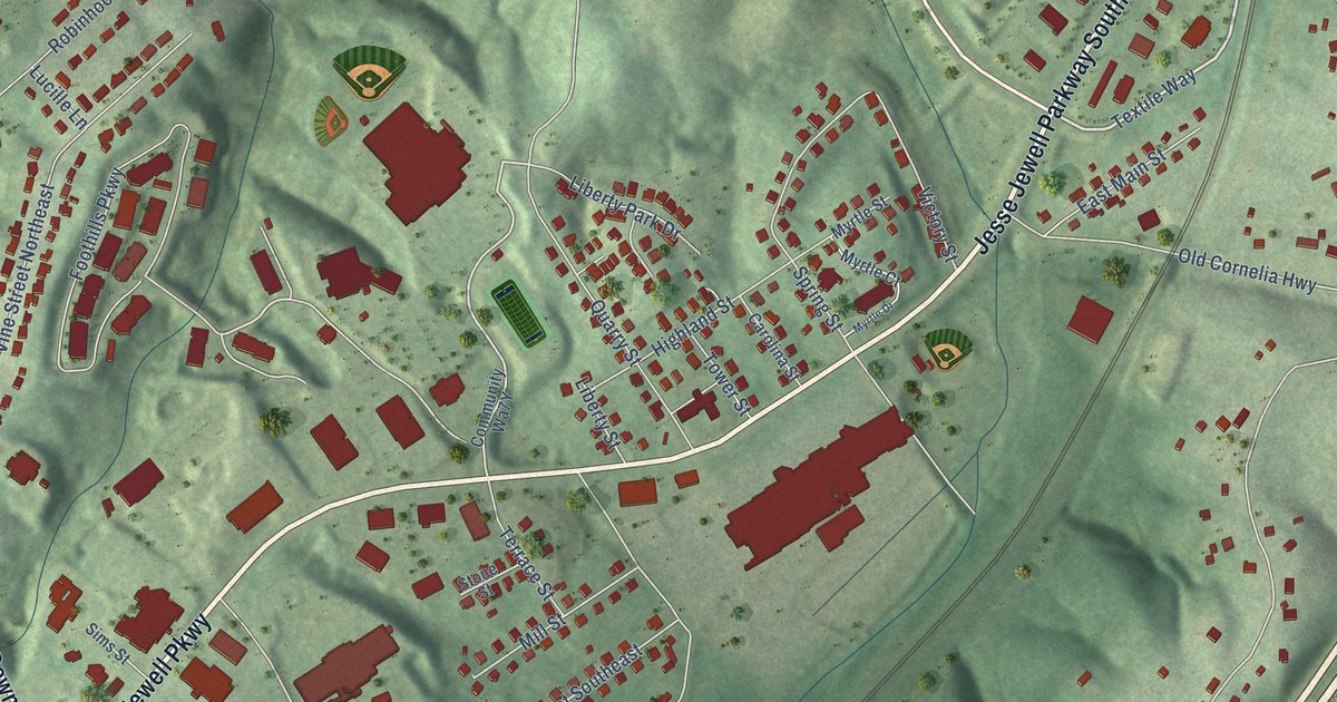
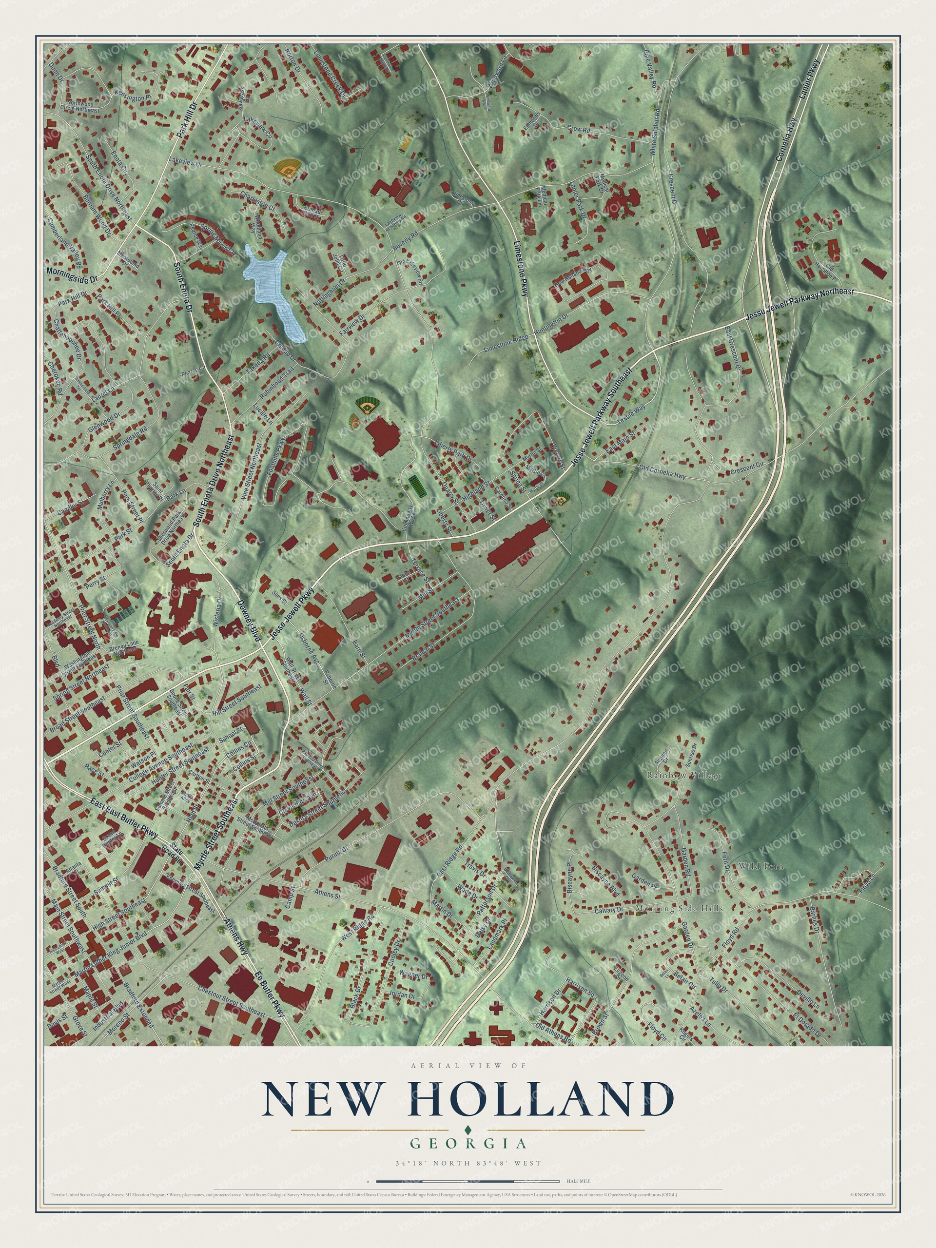
This beautifully detailed map of New Holland, Georgia was created in 2026 using aerial imagery combined with modern topographical, census, street and landmark data. It’s a one-of-a-kind view of New Holland that combines accurate data with a vintage aesthetic. The map shows every building in its true location, many of the roads carry their names, and the shaded topographic relief shows the shape of the land.
Explore an aerial view of New Holland, Georgia
On the map you’ll find Morning Side Hills, Rainbow Village, and Wild Fern, along with Downey Boulevard, Myrtle Street Southeast, Jesse Jewell Parkway Southeast, Jesse Jewell Parkway, Jesse Jewell Parkway Northeast, South Enota Drive, South Enota Drive Northeast, Limestone Parkway, Athens Highway, and more. If you look closely you can even find your house accurately drawn in its correct location. Zoom in on the preview to look for yours.
Did You Know?
From Internet Archive: "Two miles east of Gainesville, on the Air-Line Railroad, are the New Holland Springs, also well fitted up for the accommodation of visitors."
New Holland is a community in Hall County.
Take a closer look at the New Holland map
Names on this map
These names are printed on this map.
Places: Morning Side Hills, Rainbow Village and Wild Fern.
Streets and roads: Downey Boulevard, Myrtle Street Southeast, Jesse Jewell Parkway Southeast, Jesse Jewell Parkway, Jesse Jewell Parkway Northeast, South Enota Drive, South Enota Drive Northeast, Limestone Parkway, Athens Highway, East East Butler Parkway, Ee Butler Parkway, Cornelia Highway.
More street names, A to Z
Academy Street Northeast, Athens Street, Atlanta Street, Autumn Drive, Azelea Lane, Barnes Drive, Barn Street, Belair Circle, Belair Lane, Beverly Road, Biscayne Boulevard, Biscayne Drive, Biscayne Place, Black Drive, Boone Street Southeast, Boulevard, Bradford Extended, Bradford Street South, Branch Street, Brenau Lane Northeast, Brenau Point Drive, Broad Street Southeast, Brown Street, Burnam Wood Drive, Calvary Drive, Camp Street, Candler Street, Carlton Street, Carolina Street, Center Street, Charleston Court, Chattahoochee Drive, Cherokee Road, Chestnut Street Southeast, Cloverdale Avenue, College Avenue Southeast, Collins Circle, Collins Street, Cooley Drive, Crescent Circle, Crescent Drive, Crow Road, Crudup Drive, Cumberland Valley Road, Daisy Drive, Davis Street, Desota Street Southeast, Deville Lane, Dunn Drive, East Crescent Drive, East Main Street, East Ridge Road, Eberhart Street Southeast, Edmonds Drive, El Dorado Drive, Enota Circle, Eugene Drive, Fair Street, Fairview Drive, Fern Drive, Floyd Circle, Floyd Lane, Floyd Road, Foothills Parkway, Garden Drive, Garden Place, Garden Road, Glenwood Drive, Green Hunter Lane, Grove Street, Harrison Drive, Harrison Square, Highland Street, High Street, High Street Southeast, High Street West, Hill Street Southeast, Hobbs Alley, Hunter Street Southeast, Huntington Drive, Industrial Boulevard, Jordan Drive, Kensington Place, Lakeview Academy Road, Lakeview Circle, Lakeview Drive, Landmark Place, Lanier Park Drive, Lanier Parkway, Laurel Lane, Liberty Park Drive, Liberty Street, Lighthouse Manor Drive, Limestone Circle, Limestone Creek Drive, Limestone Ridge, Little John Circle, Lucille Lane, Main Street Southwest, Maple Street, Martin Drive, Martin Luther King Junior Boulevard, McDonald Street Southeast, Medical Park Drive, Medical Park Lane, Mill Street, Mill Street Southeast, Mooreland Drive, Moreno Street, Morningside Drive, Mulberry Lane, Myrtle Court, Myrtle Drive, Myrtle Street, Myrtle Street West, New Holland Way, Northwood Circle Northeast, Norton Drive, Nottingham Drive, Old Athens Road, Old Cornelia Highway, Old Hamilton Place, Old Lakeview Road, Osborne Avenue, Park Hill Drive, Park Hill Place, Park Lane, Park Street, Park Street Place, Patricia Drive Southeast, Patterson Drive, Pearce Circle, Pearce Way, Perry Street, Pine Valley Road, Prior Street North, Prior Street Southeast, Psborne Street, Purina Drive, Quarry Street, Race Street, Robinhood Trail, Rogers Circle, Saint Charles Place, Sawgrass Cv, School Street, Sherwood Park Drive Northeast, Sims Street, Smithgall Lane Northeast, Springdale Road, Spring Marsh Court, Spring Street, Spring Street Northeast, State Road 60, Stone Street, Summerfield Terrace, Summit Street, Summit Street Southeast, Sunrise Drive, Takeda Road, Terrace Street, Textile Way, Tower Street, Travis Drive, Tulip Drive, Victory Street, Vine Street Northeast, Wade Drive, Wagner Drive, Wall Street, Wall Street Southeast, Washington Street Southeast, Watson Place, West Ridge Road, White Sulphur Road, Windward Lane, Windward Way, Wisteria Drive, Woodland Way.
See it on a wall
The New Holland map as a framed print. Swipe for more.


This beautifully detailed map of New Holland makes an attractive addition to your office, library, or den, and it can even be used to teach children the geography and history of the area. It also makes a great gift for someone who left New Holland and still calls it home. When you’re done exploring, click here to get your copy of the New Holland map.