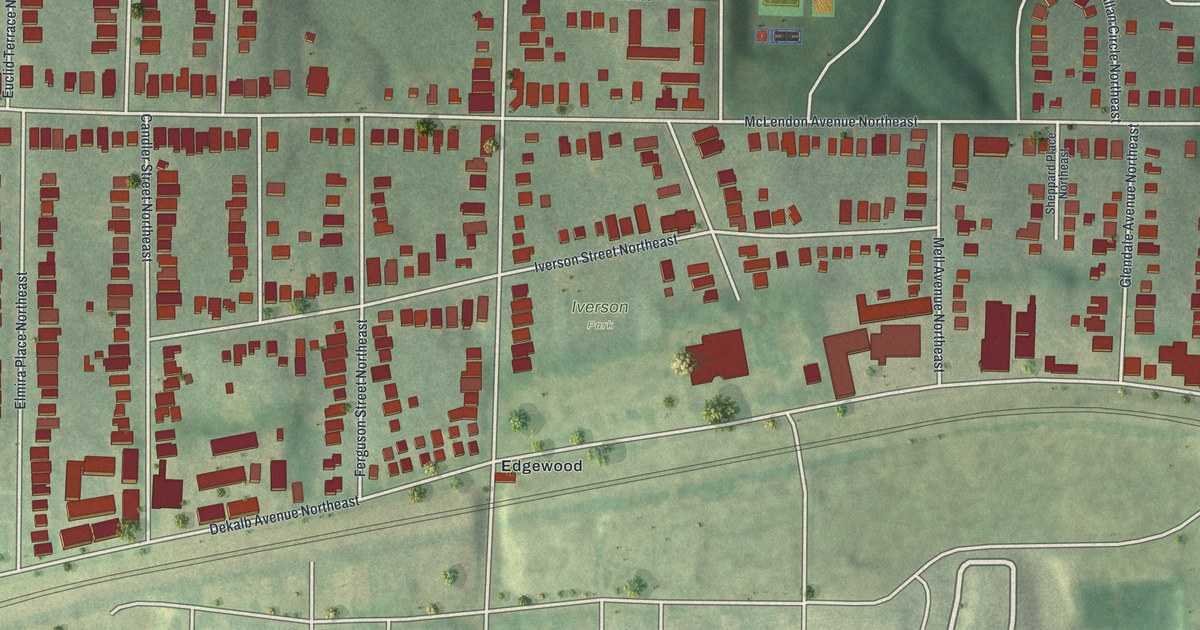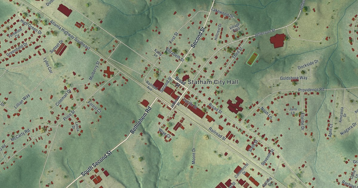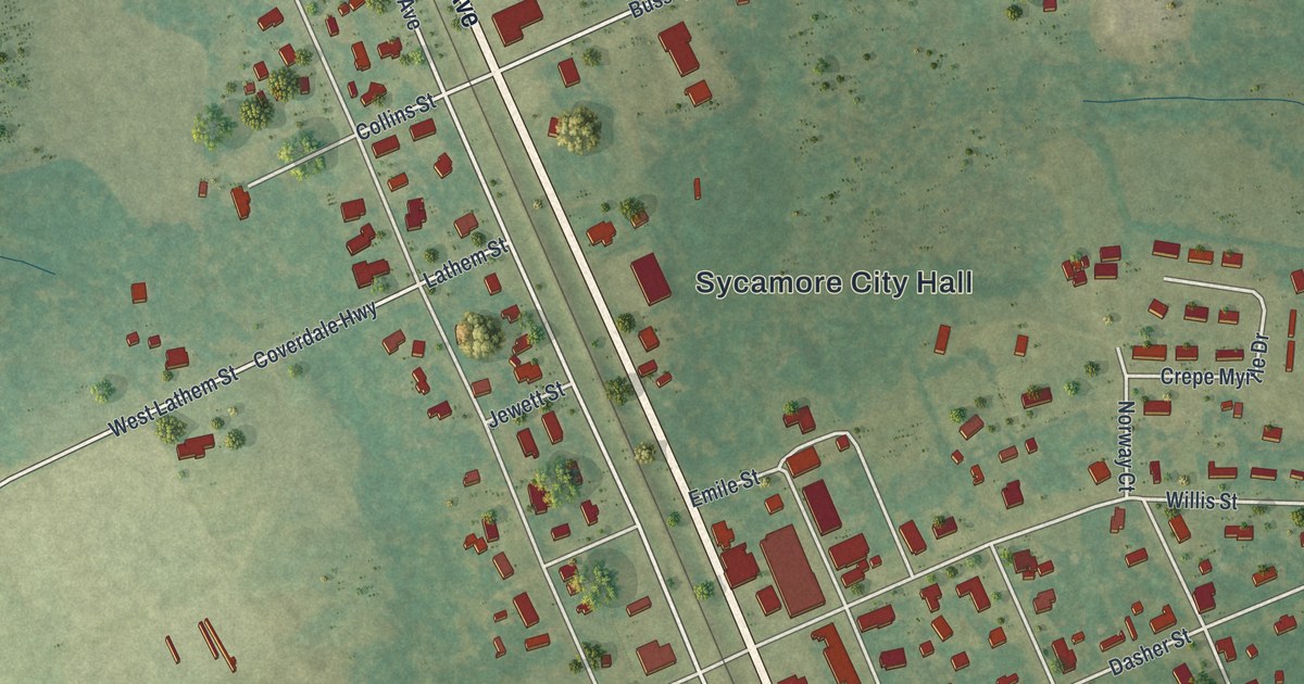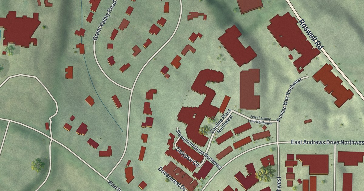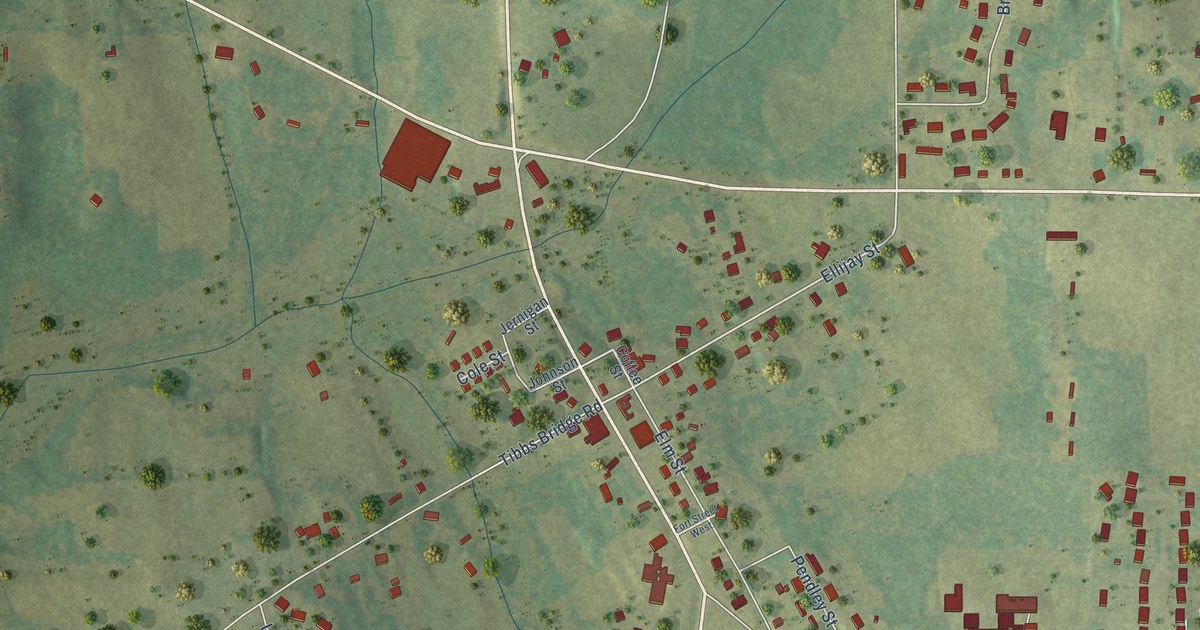
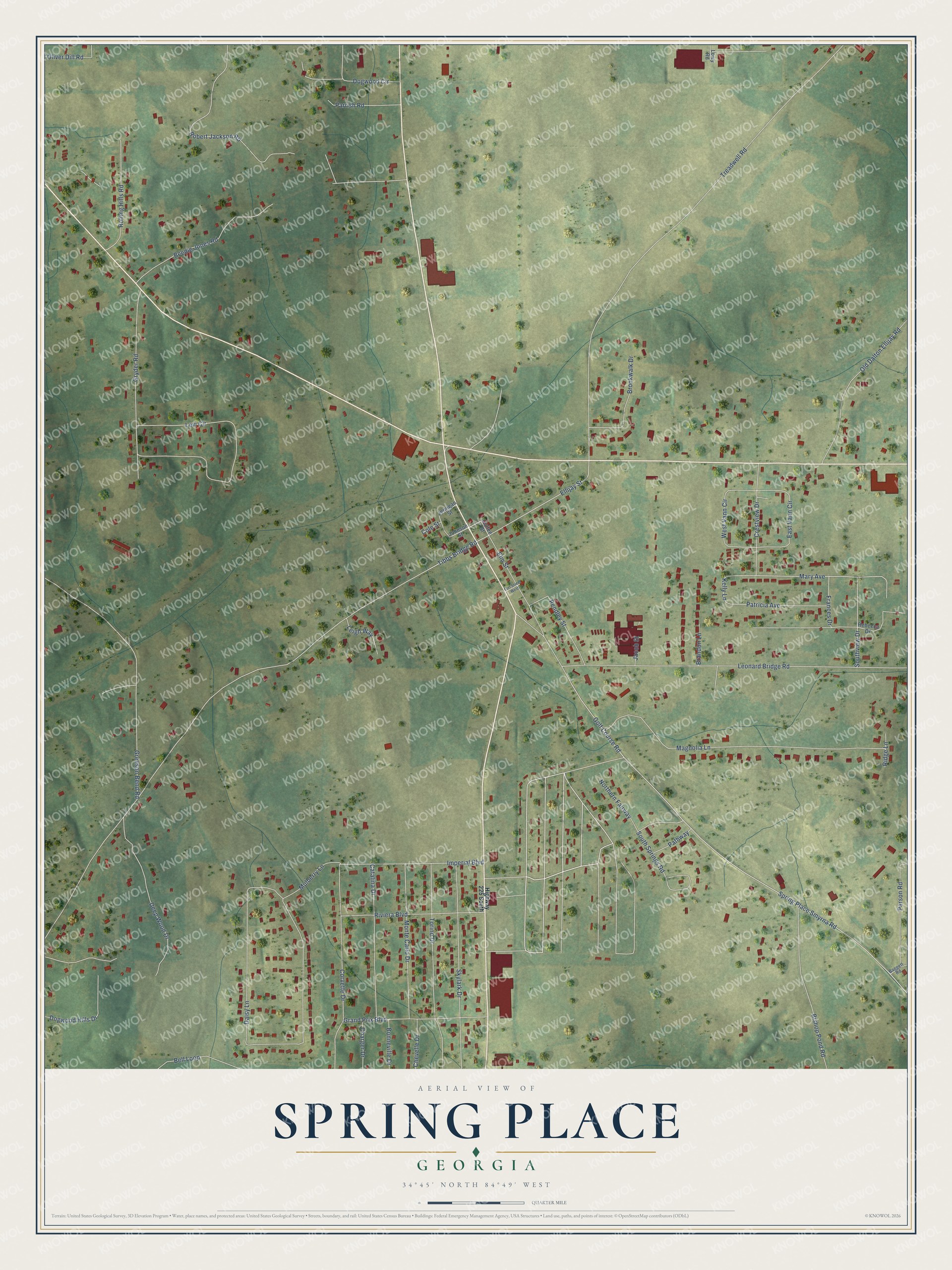
This beautifully detailed map of Spring Place, Georgia was created in 2026 using aerial imagery combined with modern topographical, census, street and landmark data. It’s a one-of-a-kind view of Spring Place that combines accurate data with a vintage aesthetic. The map shows every building in its true location, many of the roads carry their names, and the shaded topographic relief shows the shape of the land.
Explore an aerial view of Spring Place, Georgia
On the map you’ll find Mary Avenue, Ellijay Street, Kelly Lane, Tibbs Bridge Road, Spring Place Smyrna Road, Treadwell Road, Golf Course Road, Daisy Lane, Leonard Bridge Road, Magnolia Lane, Levi Circle, Greeson Bend Road, and more. If you look closely you can even find your house accurately drawn in its correct location. Zoom in on the preview to look for yours.
Did You Know?
From Internet Archive: "Vann was one of the two chiefs who befriended the Moravian mil- Bionaries who, in 1901, established the Moravian mission at Spring Place, the first mission to the Cherokee Indians."
Spring Place is a community in Murray County.
Take a closer look at the Spring Place map
Names on this map
These names are printed on this map.
Streets and roads: Mary Avenue, Ellijay Street, Kelly Lane, Tibbs Bridge Road, Spring Place Smyrna Road, Treadwell Road, Golf Course Road, Daisy Lane, Leonard Bridge Road, Magnolia Lane, Levi Circle, Greeson Bend Road.
More street names, A to Z
Baggett Road, Beedie Jones Road, Bell Loop, Bishop Pond Road, Bonneville Drive, Brandon Lane, Brookwalk Drive, Catalina Drive, Charger Drive, Chevelle Drive, Coffee Street, Cole Street, Corvette Drive, Crestview Drive, Deep Wood Drive, Dogwood Circle, Dogwood Hills Drive, East Vann Circle, Elm Street, Fort Street West, Frances Drive, Grand Prix Boulevard, Gryder Road, Highway 225 South, Imperial Boulevard, Jacob Street, Jernigan Street, Johnson Street, Leigh Way, Lowy Road, Monte Carlo Drive, Mulberry Lane, Northern Fairway, Old Dalton Ellijay Road, Oliver Dill Road, Parrish Road, Parson Road, Pathway, Patricia Avenue, Pendley Street, Rebecca Drive, Ridge Lane, Riviera Boulevard, Robert Jackson Road, Rolling Hills Road, Skylark Drive, South Springs Road, Southview Drive, Torino Drive, West Vann Circle.
See it on a wall
The Spring Place map as a framed print. Swipe for more.


This beautifully detailed map of Spring Place makes an attractive addition to your office, library, or den, and it can even be used to teach children the geography and history of the area. It also makes a great gift for anyone with Spring Place roots. When you’re done exploring, click here to get your copy of the Spring Place map.