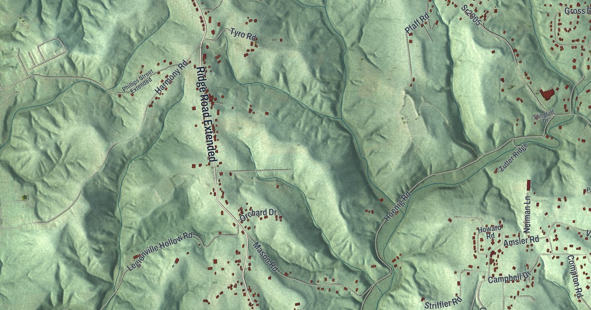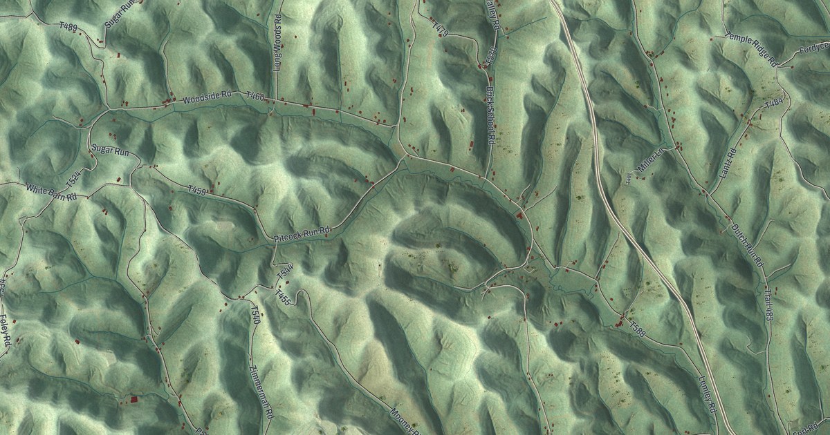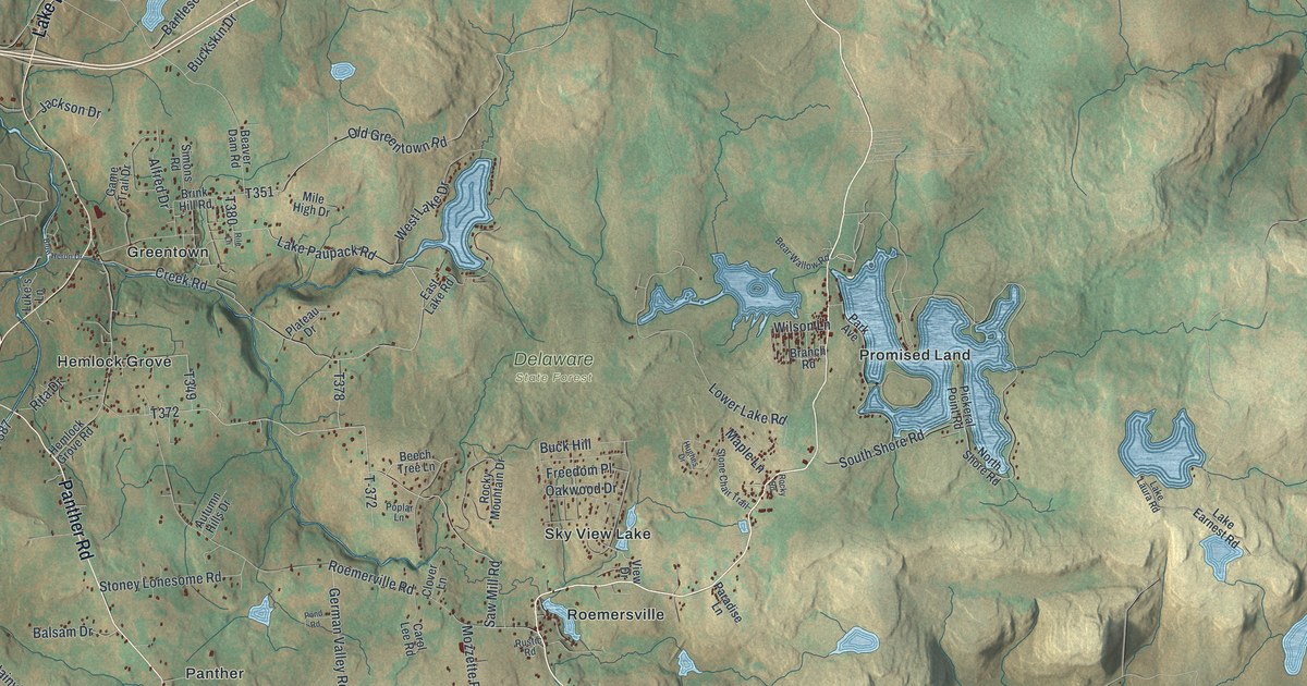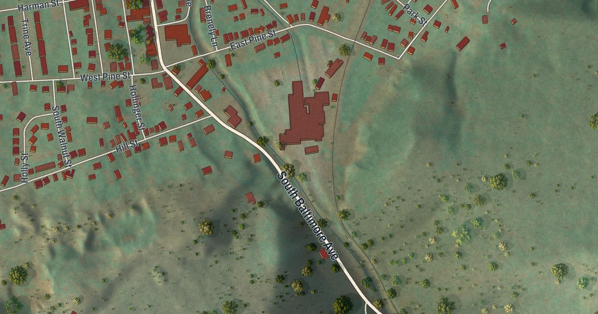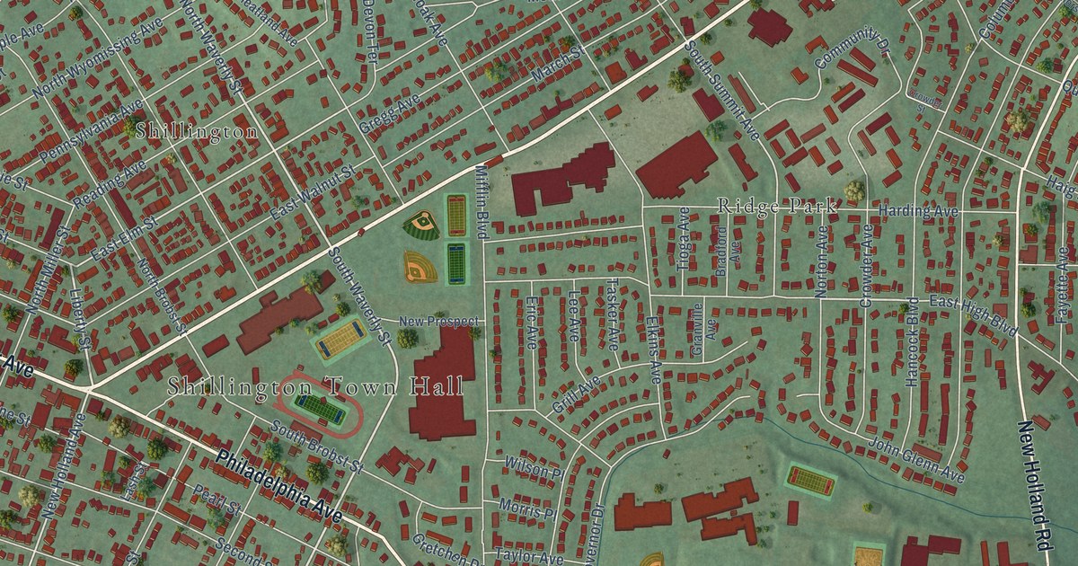
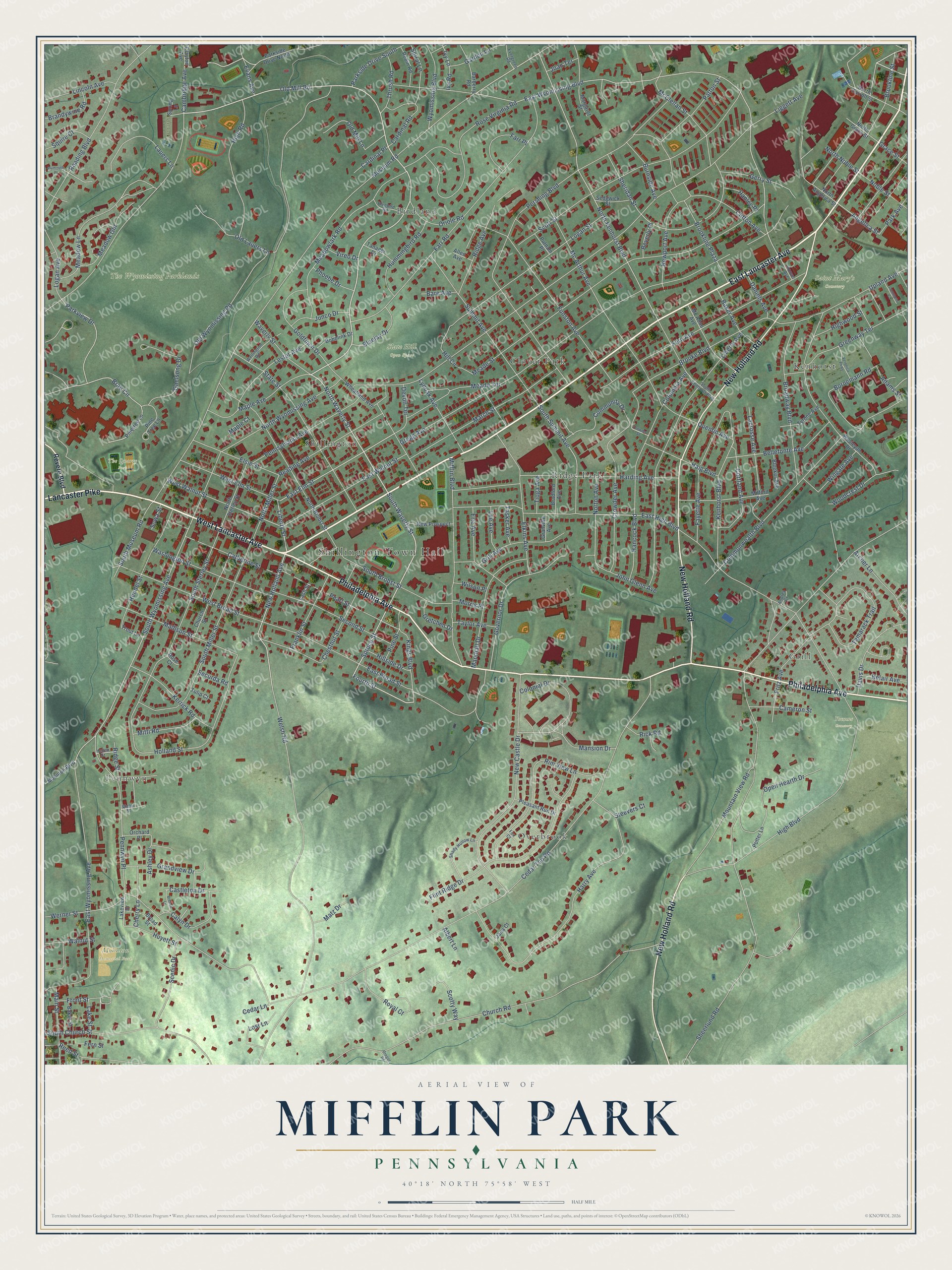
This beautifully detailed map of Mifflin Park, Pennsylvania was created in 2026 using aerial imagery combined with modern topographical, census, street and landmark data. It’s a one-of-a-kind view of Mifflin Park that combines accurate data with a vintage aesthetic. The map shows every building in its true location, many of the roads carry their names, and the shaded topographic relief shows the shape of the land.
Explore an aerial view of Mifflin Park, Pennsylvania
On the map you’ll find Shillington Town Hall, Mohnton Memorial Park, Saint Mary’s Cemetery, Slate Hill Open Space, The Wyomissing Parklands, The Quarry Park, Yocums Cemetery, Overbrook, Pennwyn, Birdland, Shillington, Ridge Park, and more. If you look closely you can even find your house accurately drawn in its correct location. Zoom in on the preview to look for yours.
Take a closer look at the Mifflin Park map
Names on this map
These names are printed on this map.
Places: Shillington Town Hall, Mohnton Memorial Park, Saint Mary's Cemetery, Slate Hill Open Space, The Wyomissing Parklands, The Quarry Park, Yocums Cemetery, Overbrook, Pennwyn, Birdland, Shillington, Ridge Park, Kenhorst, Clover Park and Grill.
Streets and roads: East Lancaster Avenue, Lancaster Pike, Philadelphia Avenue, New Holland Road, West Lancaster Avenue, Old Mill Road, North Waverly Street, Fourth Street, South Waverly Street, Spruce Street, Liberty Street, East Wyomissing Boulevard.
More street names, A to Z
Adams Street, Albert Lane, Allen Avenue, Andrea Court, Angelica Street, Archer Lane, Ashley Drive, Baker Avenue, Baker Street, Barberry Road, Bare Avenue, Belair Avenue, Bellefonte Avenue, Beverly Place, Bleeker Avenue, Bluebird Road, Bluejay Drive, Bobolink Drive, Bornemann Road, Bradford Avenue, Brae Circle, Brandywine Road, Brecon Lane, Broad Street, Broadway Boulevard, Brooke Boulevard, Brookline Plaza, Brookline Street, Burnside Avenue, Calyn Drive, Cambridge Avenue, Cameron Street, Cardinal Place, Cardinal Road, Castleton Drive, Catherine Street, Cedar Lane, Cedar Top Road, Cherry Lane, Chestnut Street, Church Road, Church Street, Clayton Avenue, Clifton Avenue, Colonial Drive, Columbia Avenue, Commons Court, Commonwealth Boulevard, Community Drive, Cortland Avenue, Crowder Avenue, Crowder Street, Daniels Avenue, Davis Drive, Devon Terrace, East Broad Street, East Elm Street, East High Boulevard, East Walnut Street, East Wyomissing Avenue, Elkins Avenue, Elsie Street, Eric Avenue, Evans Avenue, Evergreen Road, Farr Place, Farr Road, Fayette Avenue, Fern Avenue, Fern Street, Flint Ridge Drive, Fox Court, Franklin Street, Fritz Avenue, Front Street, Funston Avenue, Gaelsong Drive, Garden Lane, Gerry Street, Goldfinch Drive, Governor Drive, Grace Street, Grandview Drive, Granville Avenue, Greenway Terrace, Gregg Avenue, Gretchen Drive, Grill Avenue, Haig Boulevard, Hancock Boulevard, Hanley Place, Harding Avenue, Harry Avenue, Hellen Street, Hendel Street, High Boulevard, High Road, Highwood Street, Hill Circle, Hillside Drive, Holland Street, Hoover Avenue, Hummingbird Road, Huyett Street, Ivy Lane, Ivy Road, Jana Court, Joan Terrace, John Glenn Avenue, Junco Drive, Kenhorst Boulevard, Kerrick Road, Kings Boulevard, Lacrosse Avenue, Lake Street, Lakeview Drive, Lash Street, Lauers Lane, Lee Avenue, Lester Avenue, Liberty Avenue, Liggett Avenue, Lincoln Avenue, Logan Avenue, Logan Street, Lost Lane, Lynoak Avenue, Madison Street, Main Street, Mansion Drive, Maple Avenue, Maple Court, March Street, Margaret Street, Marshall Drive, Matz Drive, Mc Adoo Avenue, Mc Arthur Avenue, McClellan Street, Meade Street, Meade Terrace, Meadow Gln, Meadow Lane, Meadowlark Road, Mifflin Boulevard, Milford Avenue, Mitti Road, Mohnton Boulevard, Morris Place, Mountain View Road, Museum Road, New Castle Drive, New Holland Avenue, Newport Avenue, New Prospect, Noble Street, North Angelica Street, North Brobst Street, North Carroll Street, North Grace Street, North Kenhorst Boulevard, North Miller Street, North Noble Street, North Sterley Street, North Wyomissing Avenue, Norton Avenue, Old Lauers Lane, Old Mill Lane, Old Wyomissing Road, Open Hearth Drive, Orchard Place, Oregon Road, Oriole Road, Park Avenue, Parkside Drive North, Parkside Drive South, Parkview Drive, Patton Street, Pearl Street, Pennsylvania Avenue, Pennwyn Place, Pershing Boulevard, Phoebe Drive, Pine Street, Pinetree Lane, Pine Tree Lane, Pleasant Run Drive, Plymouth Place, Potter Lane, Putnam Place, Quentin Avenue, Reading Avenue, Reading Boulevard, Reed Street, Revere Boulevard, Rick Road, Ridge Avenue, Ridge Street, Rim View Lane, Robin Road, Rose Court, Rose Virginia Road, Royal Court, Scenic Drive, Scott Street, Scotty Way, Second Street, Securda Road, Sedgwick Street, Shady Hollow Lane, Sheerlund Road, Sheridan Street, South Brobst Street, South Church Street, South Kenhorst Boulevard, South Miller Street, South Museum Road, South Sterley Street, South Summit Avenue, South Wyomissing Avenue, Sowa Street, Spiral Lane, Spring Lane, Squire Court, State Street, Steevers Court, Summit Avenue, Tamarack Trail, Tanager Drive, Tasker Avenue, Taylor Avenue, Thrush Road, Tioga Avenue, Trout Lane, Tulip Court, Tyrone Avenue, Upland Avenue, Veronica Parkway, Vireo Drive, Walnut Street, Washington Street, Water Street, Waverly Street, Wellington Road, Welsh Road, Werner Street, Wesleyan Drive, West Broad Street, West Elm Street, West Walnut Street, Wheatland Avenue, Wilson Place, Wingate Avenue, Woodcrest Drive, Wyomissing Boulevard.
See it on a wall
The Mifflin Park map as a framed print. Swipe for more.


This beautifully detailed map of Mifflin Park makes an attractive addition to your office, library, or den, and it can even be used to teach children the geography and history of the area. It also makes a great gift for anyone with Mifflin Park roots. When you’re done exploring, click here to get your copy of the Mifflin Park map.