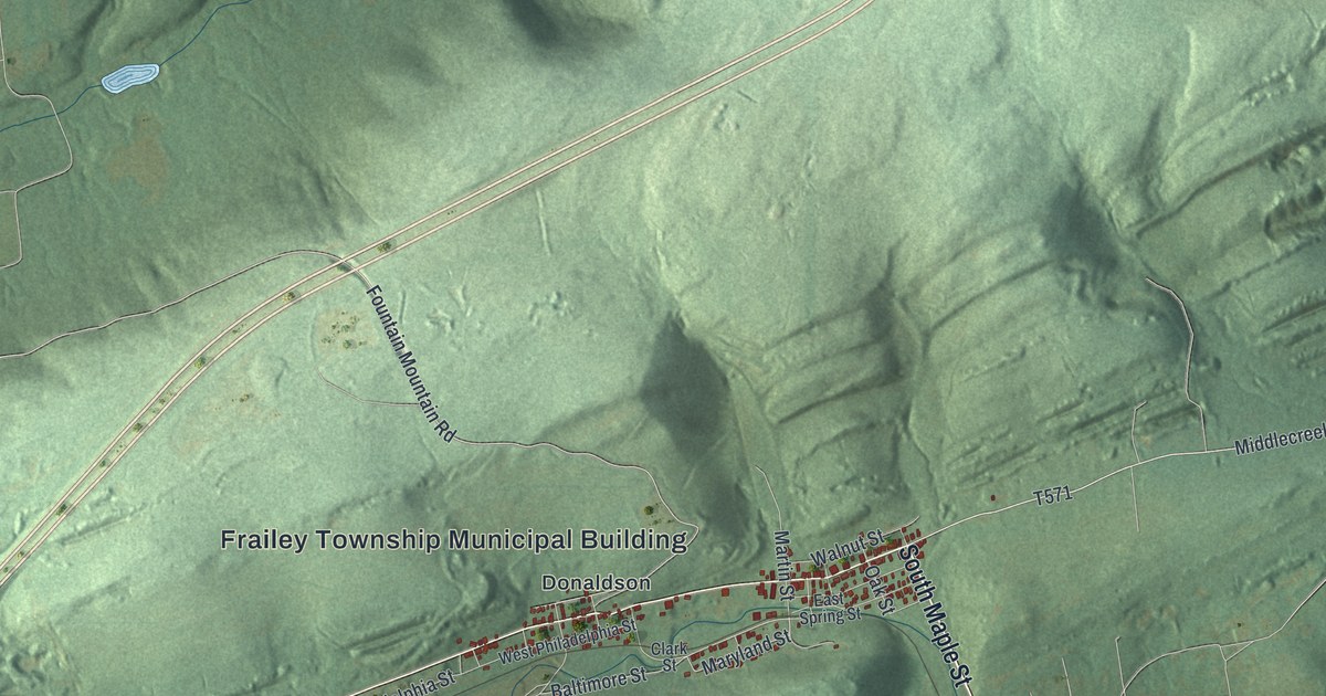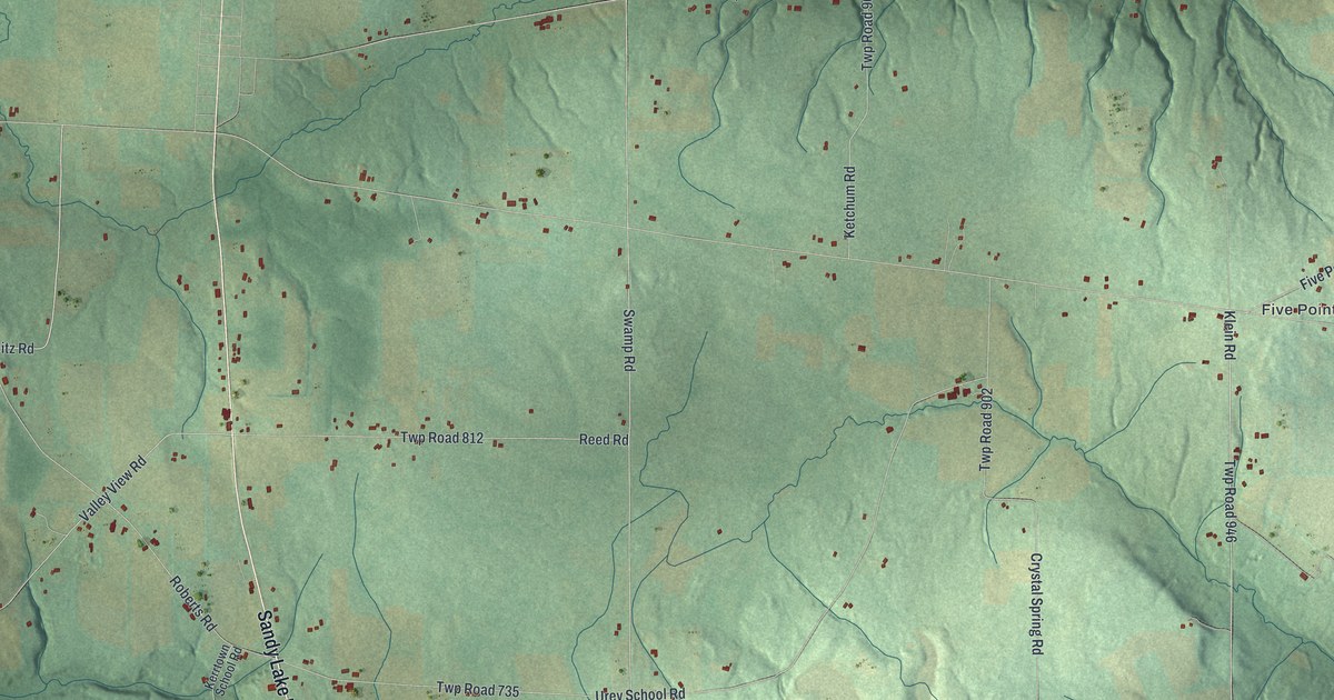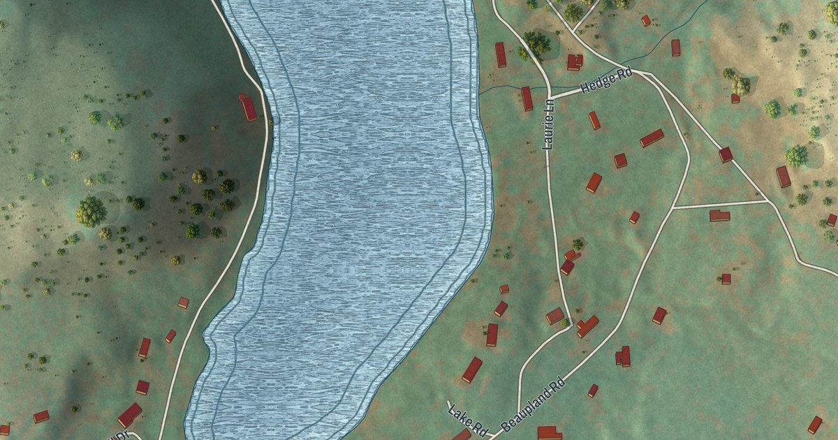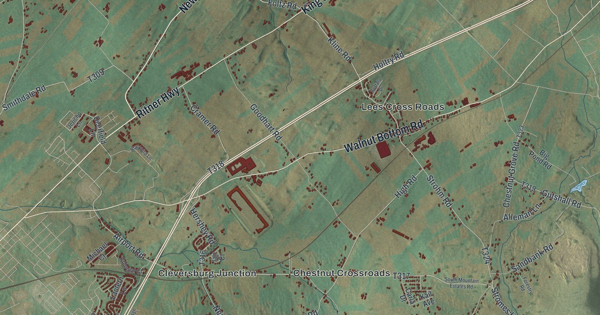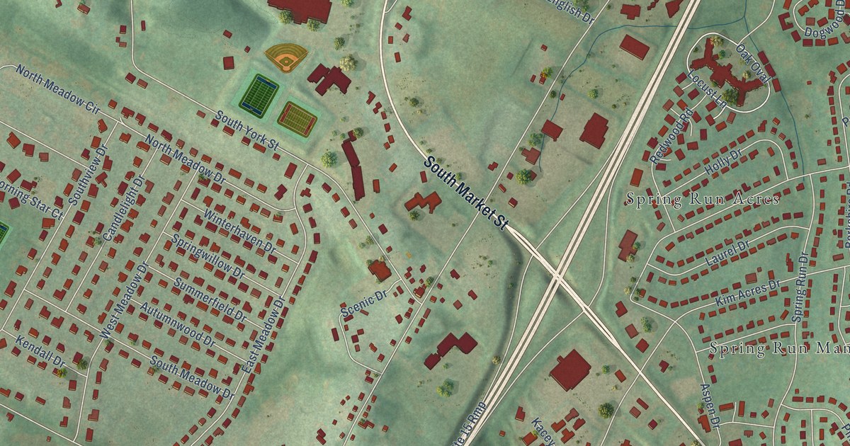
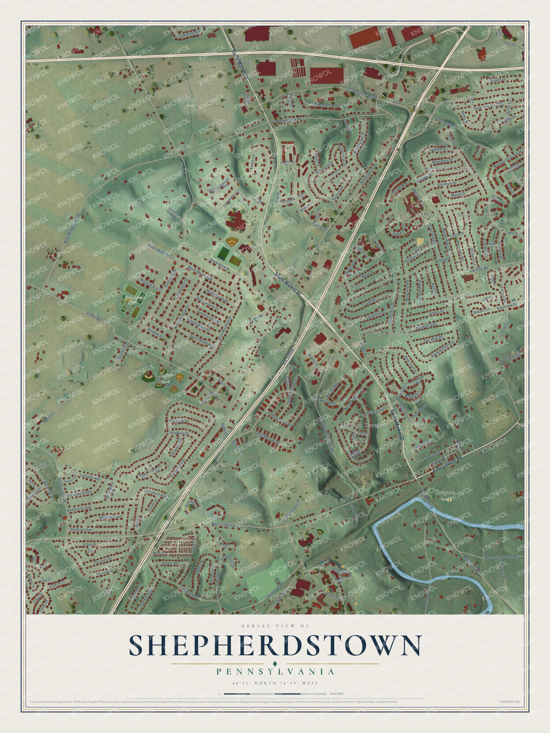
This beautifully detailed map of Shepherdstown, Pennsylvania was created in 2026 using aerial imagery combined with modern topographical, census, street and landmark data. It’s a one-of-a-kind view of Shepherdstown that combines accurate data with a vintage aesthetic. The map shows every building in its true location, many of the roads carry their names, and the shaded topographic relief shows the shape of the land.
Explore an aerial view of Shepherdstown, Pennsylvania
On the map you’ll find Fisher Park, Friendship Park, Simpson Park, Loop Park, Kimberly Meadows, Spring Run Manor, Mount Allen, Mount Allen Estates, Winding Hill, Spring Run Acres, and Reservoir Hill, along with Orchard Terrace, and more. If you look closely you can even find your house accurately drawn in its correct location. Zoom in on the preview to look for yours.
Did You Know?
From Internet Archive: "About 1840 there settled at Shepherdstown, Allen township, Cumberland county, a young man named Daniel Maust."
Shepherdstown is a community in Cumberland County.
Take a closer look at the Shepherdstown map
Names on this map
These names are printed on this map.
Places: Fisher Park, Friendship Park, Simpson Park, Loop Park, Kimberly Meadows, Spring Run Manor, Mount Allen, Mount Allen Estates, Orchard Terrace, Winding Hill, Spring Run Acres and Reservoir Hill.
Streets and roads: South Market Street, East Lisburn Road, Gray Drive, Lake Drive, Emlyn Lane, West Lisburn Road, Mount Allen Drive, Messiah Circle, Allenview Drive, Vista Drive, Locust Lane, Hawthorn Avenue.
More street names, A to Z
Allegheny Drive, Andes Drive, Appalachian Avenue, Arbor Court, Arlington Drive, Ascott Way, Aspen Drive, Atland Drive, Autumnwood Drive, Barbara Lane, Beacon Circle, Beilman Court, Belvedere Drive, Berkshire Road, Big Horn Avenue, Bishop Road, Bonny Lane, Boxwood Lane, Bradford Court, Bradford Drive, Braeburn Drive, Broadmoor Drive, Buckingham Avenue, Bumble Bee Hollow Road, Candlelight Drive, Canterbury Drive, Cascade Road, Center Drive, Cherry Street, Chestnut Ridge Drive, Chestnut Street, Circle Drive, Clover Drive, Cockleys Drive, Cocklin Court, College Avenue, College Crossing, Colonial View Road, Conway Drive, Cope Circle, Cope Drive, Coventry Court, Coventry Drive, Cumberland Parkway, Dartmouth Court, Deerview Drive, Derbyshire Avenue, Dewberry Court, Diehl Road, Dogwood Drive, Dover Court, Drayton Court, East Meadow Drive, East Winding Hill Road, Elgin Circle, Ellesmere Lane, Elstar Lane, Emily Drive, English Drive, Fairmont Drive, Fenwick Avenue, Fisher Road, Fleming Drive, Fowlers Hollow Road, Foxfire Circle, Foxfire Drive, Gettysburg Pike, Glendale Drive, Glime Drive, Grantham Road, Green Lane, Greenway Drive, Harvest Drive, Hastings Drive, Hawthorne Avenue, Hellam Drive, Hemlock Road, Hereford Drive, Herman Drive, Hertzler Road, Hillcrest Drive, Hilltop Circle, Holly Drive, Kacey Court, Keefer Way, Kendall Drive, Kent Drive, Kim Acres Drive, Kower Court, Lancelot Avenue, Laurel Drive, Lavina Drive, Lavynndon Lane, Leyton Way, Louise Drive, Lynnbrook Way, Mallard Way, Manor Drive, Market Plaza Way, Mayfield Road, Merrimac Avenue, Mill Road, Morning Star Court, Mowery Road, Nittany Drive, Norfolk Court, North Lewisberry Road, North Meadow Circle, North Meadow Drive, North York Road, Nursery Drive North, Nursery Drive South, Oak Oval, Oakwood Avenue, Oakwood Hills Drive, Old Hollow Road, Old Schoolhouse Lane, Orchard Boulevard, Orchard Lane, Park Hill Drive, Park Hills Drive, Park Ridge Drive, Paul Circle, Pennington Drive, Pheasant Drive, Pine Meadow, Pine Tree Drive, Pocono Drive, Quail Hollow Road, Redwood Road, Reservoir Road, Reynolds Street, Ricky Road, Rider Lane, Riders Lane, Ritter Road, Rolling Hills Drive, Rolo Court, Round Ridge Road, Route 15 Rmp, Roxbury Court, Rye Circle, San Juan Drive, Scenic Drive, Second Street, Seedling Court, Sheffield Avenue, Sholly Drive, Sleepy Hollow Drive, Slover Road, South Meadow Drive, Southvier Drive, Southview Drive, South York Street, Spring Run Drive, Spring Valley Lane, Springwillow Drive, Standlake Way, Stoner Drive, Stumpstown Road, Summerfield Drive, Surrey Court, Susan Lane, Thornton Drive, Tower Road, Wakefield Avenue, Wayne Drive, West Meadow Drive, West Winding Hill Road, Willow Way, Winding Hill Drive, Windrush Lane, Wineberry Drive, Wingert Drive, Winterhaven Drive, Wister Circle, Wolley Hollow Court, Woodside Drive, Wyncot Court, Wyncote Court.
See it on a wall
The Shepherdstown map as a framed print. Swipe for more.


This beautifully detailed map of Shepherdstown makes an attractive addition to your office, library, or den, and it can even be used to teach children the geography and history of the area. It also makes a great gift for someone who left Shepherdstown and still calls it home. When you’re done exploring, click here to get your copy of the Shepherdstown map.