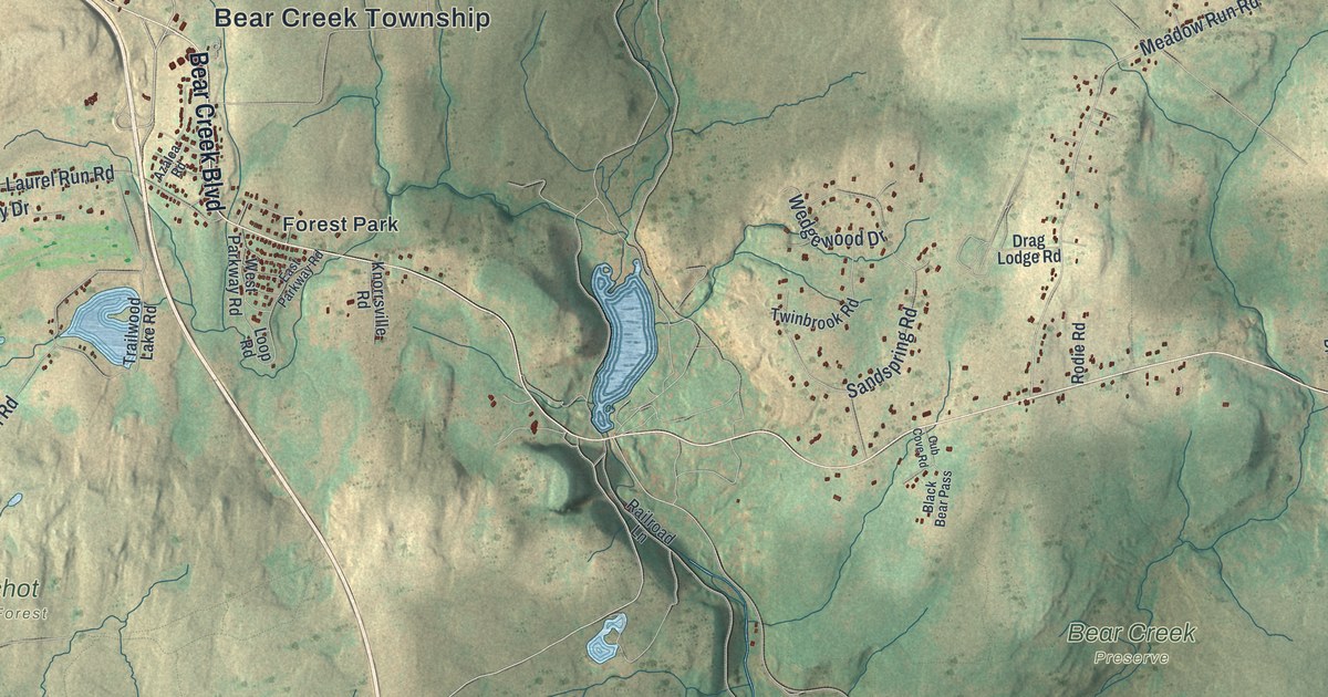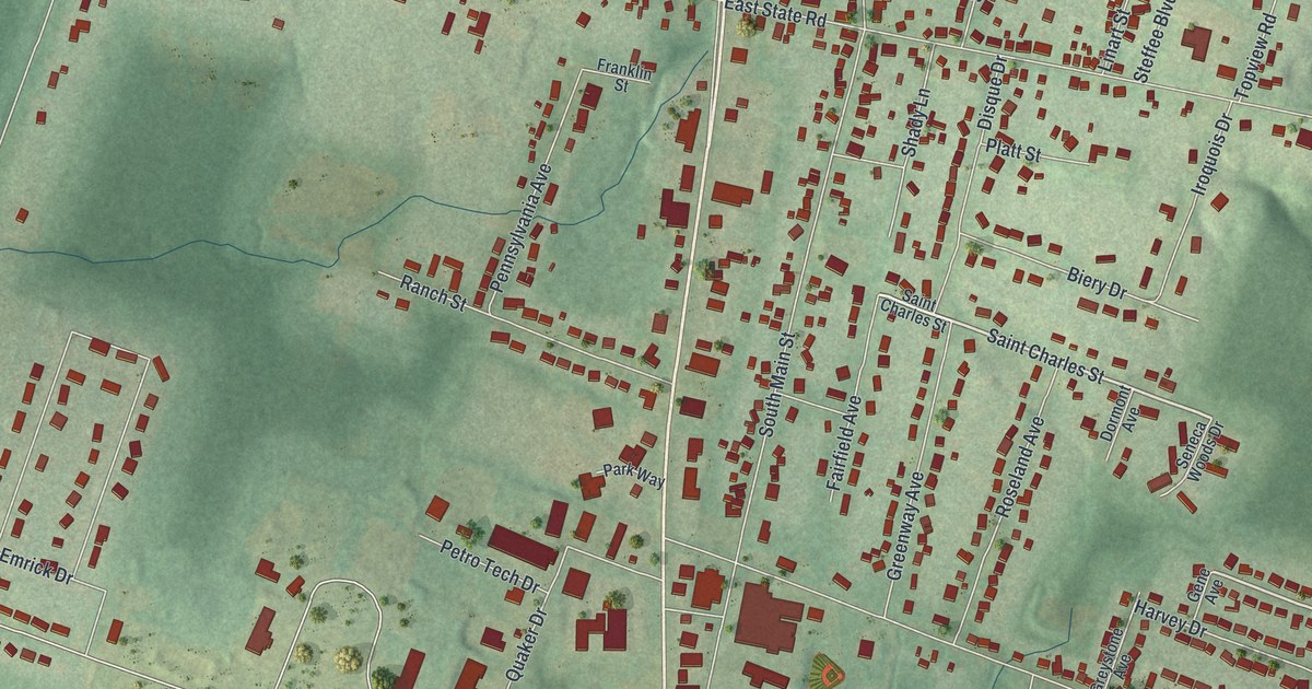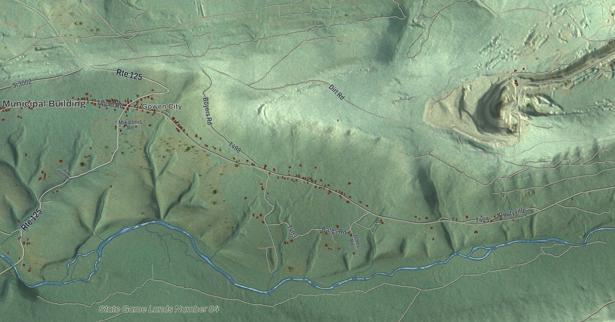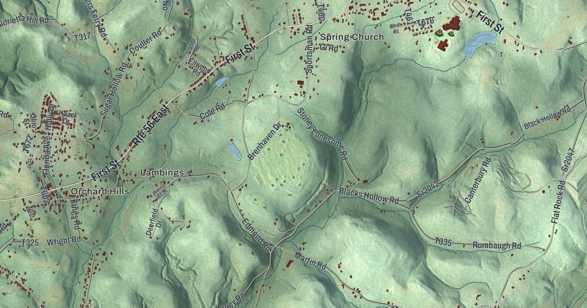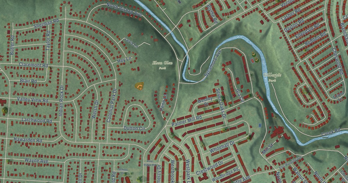
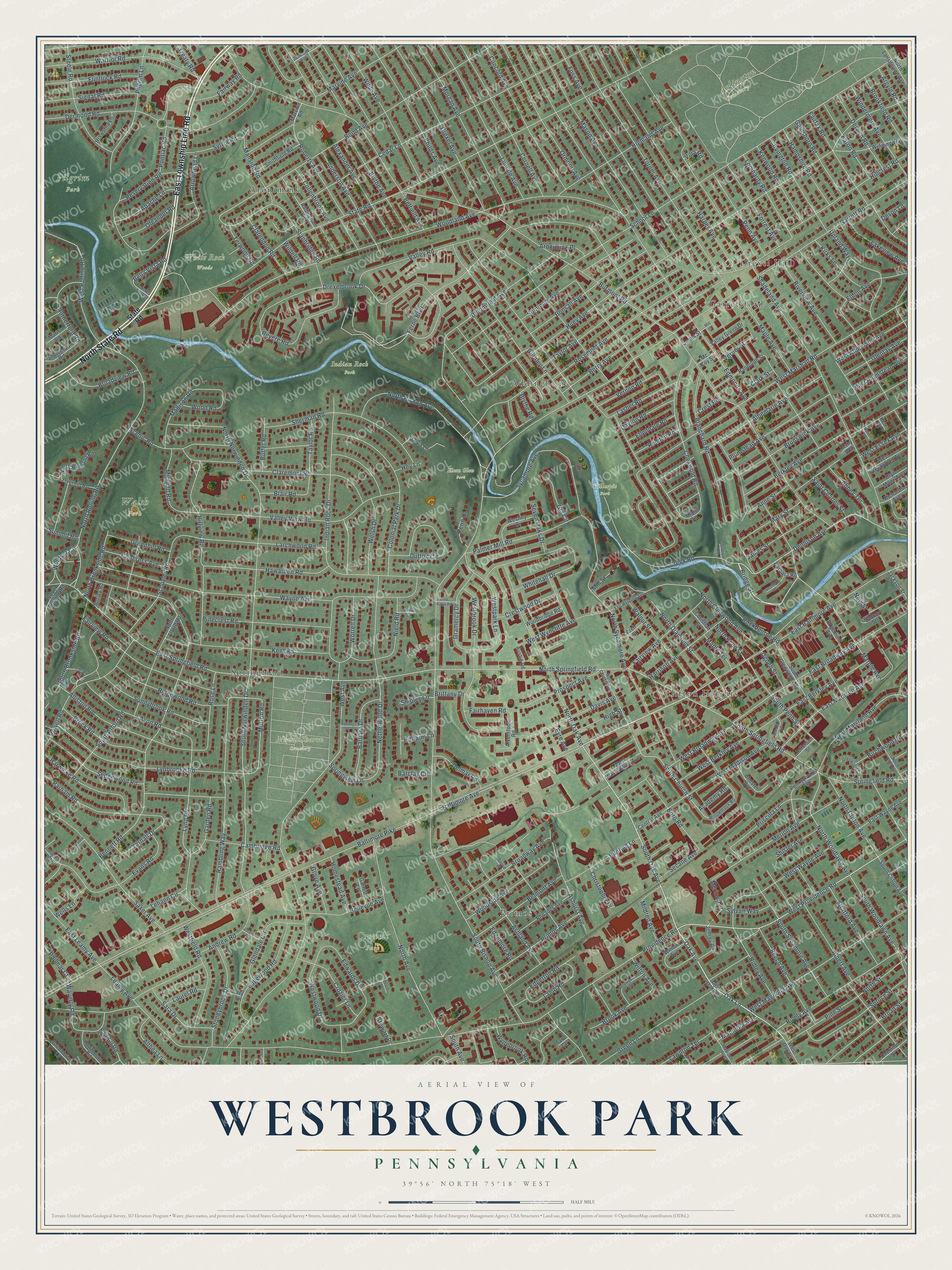
This beautifully detailed map of Westbrook Park, Pennsylvania was created in 2026 using aerial imagery combined with modern topographical, census, street and landmark data. It’s a one-of-a-kind view of Westbrook Park that combines accurate data with a vintage aesthetic. The map shows every building in its true location, many of the roads carry their names, and the shaded topographic relief shows the shape of the land.
Explore an aerial view of Westbrook Park, Pennsylvania
On the map you’ll find Arlington Cemetery, Crowell Park, Elson Glen Park, Gillespie Park, Indian Rock Park, Mount Sharon Cemetery, Pilgrim Park, Walsh Park, White Rock Woods, Garrettford, Clifton Heights, Primos, and more. If you look closely you can even find your house accurately drawn in its correct location. Zoom in on the preview to look for yours.
Take a closer look at the Westbrook Park map
Names on this map
These names are printed on this map.
Places: Arlington Cemetery, Crowell Park, Elson Glen Park, Gillespie Park, Indian Rock Park, Mount Sharon Cemetery, Pilgrim Park, Walsh Park, White Rock Woods, Garrettford, Clifton Heights, Primos, Aronimink, Drexel Hill, Springfield and Addingham.
Streets and roads: East Township Line Road, North State Road, South Oak Avenue, Oak Lane, Baltimore Avenue, West Providence Road, Oak Avenue, Bridge Street, Dennison Avenue, North Springfield Road, Springfield Road, Ferne Boulevard.
More street names, A to Z
Abbey Terrace, Academy Road, Addingham Avenue, Albemarle Avenue, Albert Avenue, Aldan Avenue, Alexander Avenue, Alliston Road, Althea Lane, Alverstone Road, Anderson Avenue, Andrew Road, Anne Street, Apache Lane, Arch Street, Argyle Road, Aronimink Place, Arrowhead Lane, Ashland Avenue, Ashurst Avenue, Ashy Way, Austin Road, Avon Road, Baltimore Pike, Barbara Drive, Barbara Road, Barclay Circle, Beech Avenue, Beech Terrace, Belfield Avenue, Bella Vista Road, Belle Vista Road, Bellevue Avenue, Belmont Avenue, Bennett Road, Berkley Avenue, Berry Avenue, Birchwood Road, Blair Road, Blanchard Road, Bloomfield Avenue, Blythe Avenue, Blythe Road, Bond Avenue, Bonsall Avenue, Boro Road, Boxwood Lane, Brittany Drive, Broad Street, Broadview Road, Broadway Avenue, Brock Road, Brook Avenue, Brookfield Road, Brunswick Avenue, Bryn Mawr Avenue, Bunting Lane, Burmont Road, Burnley Lane, Butler Road, Cambridge Road, Cedar Lane, Central Avenue, Chester Avenue, Chestnut Street, Cheswold Road, Childs Avenue, Christian Street, Christopher Place, Claremont Road, Clarendon Road, Clark Street, Collenbrook Avenue, Colonial Park Drive, Concord Avenue, Congress Avenue, Cornell Avenue, Country Lane, Creek Road, Crest Road, Crestwood Drive, Crozier Lane, Davis Avenue, Dayton Road, Delmar Road, Dermond Avenue, Dermond Road, Derwyn Road, Devon Lane, Drexel Avenue, Drexelbrook Drive, Dutton Circle, East Baltimore Avenue, East Berkley Avenue, East Broadway Avenue, East Leamy Avenue, East Madison Avenue, East Oak Lane, East Springfield Road, East Wayne Avenue, East Wyncliffe Avenue, Eaton Road, Edgemont Avenue, Edgemore Road, Edgerton Road, Edgewood Road, Edmonds Avenue, Edwards Drive, Eldon Avenue, Ellendale Road, Evans Lane, Evans Road, Eyre Avenue, Fairfax Road, Fairhaven Road, Fairhill Road, Fairview Avenue, Fairview Road, Fairway Road, Flintlock Road, Forrest Avenue, Foss Avenue, Franklin Avenue, Gainsboro Road, Garden Road, Garrett Lane, Garrett Road, Gia Circle, Glendale Circle, Glentay Avenue, Glenwood Circle, Gramercy Drive, Greenbriar Lane, Greenhill Road, Green Lane, Grove Avenue, Grove Place, Hampshire Road, Harper Avenue, Harrison Avenue, Harwicke Road, Hawarden Road, Hawthorne Avenue, Hawthorne Road, Hey Lane, Hiawatha Lane, Highland Avenue, High Street, Hillcrest Road, Hillfarm Lane, Hillview Road, Homestead Avenue, Huey Avenue, Indian Rock Drive, Irvington Road, Ivy Lane, Jackson Street, James Street, Jefferson Street, Jeffrey Road, Jones Street, Joseph Place, Kent Road, Kenwood Road, Kerr Place, Kirks Lane, Lakeview Avenue, Lamb Road, Larchwood Road, Lasher Road, Laurel Road, Lawnton Terrace, Leamy Avenue, Lehann Circle, Levis Lane, Library Lane, Lindale Avenue, Lombardy Road, Lynbrooke Road, Lynn Road, Madison Avenue, Madison Road, Magnolia Avenue, Mansion Road, Maple Avenue, Maple Terrace, Maris Road, Marple Avenue, Marvine Avenue, Marvine Road, Mary Street, Mason Avenue, Mc Coy Street, Merion Avenue, Merion Terrace, Midland Road, Mildred Avenue, Mill Lane, Mill Street, Morgan Avenue, Morton Road, Netherwood Drive, New Street, Nield Road, North Alford Road, North Avenue, North Bishop Avenue, North Brookside Road, North Church Avenue, North Clifton Avenue, North Diamond Street, North Elm Avenue, North Glenwood Avenue, North Highland Road, North Lansdowne Avenue, North Norwinden Drive, North Oak Avenue, North Penn Street, North Rolling Road, North Street, North Sycamore Avenue, North Woodlawn Avenue, Ogden Street, Oleander Road, Ormond Avenue, Overhill Road, Palmer Mill Road, Parham Road, Penn Avenue, Penn Lane, Pennsylvania Avenue, Philmar Court, Pilgrim Lane, Pinecrest Road, Pine Ridge Road, Pine Street, Plumstead Avenue, Pontiac Road, Powell Road, Primos Avenue, Priscilla Lane, Prospect Avenue, Providence Road, Radnor Street, Rambling Way, Randolph Street, Redden Road, Reservation Road, Revere Road, Rhoades Avenue, Richards Avenue, Ridgewood Road, Ridley Avenue, Rively Avenue, Riverview Avenue, Roberts Avenue, Rockbourne Road, Rodney Lane, Rose Lane, Rosemont Avenue, Rutherford Road, Saint Charles Street, Sara Drive, Saxer Avenue, Scenic Road, School Drive, School Lane, Schuyler Road, Secane Avenue, Sedgewood Road, Seven Oaks Drive, Shadeland Avenue, Sherman Road, Shipley Lane, Shisler Avenue, Signal Road, Smithfield Road, Sommers Avenue, South Alford Road, South Avenue, South Bishop Avenue, South Brookside Road, South Church Street, South Clifton Avenue, Southcroft Road, South Glenwood Avenue, South Norwinden Drive, South Penn Street, South Rolling Road, South Springfield Road, South Sycamore Avenue, South Woodlawn Avenue, Springview Lane, Spruce Street, Stanbridge Road, State Road, Station Road, Steele Road, Stewart Place, Stoneybrook Drive, Stratford Avenue, Stratford Road, Summit Road, Sunnybrook Road, Surrey Road, Sycamore Avenue, Sylvan Way, Sylvia Road, Tara Court, Taylor Avenue, Taylor Road, Terwood Road, Treaty Road, Turner Avenue, Upland Way, Valley Green Drive, Valley Road, Valley View Road, Verner Street, Vernon Road, Villa Road, Walnut Street, Walton Place, Warrior Road, Waverly Road, Wayne Avenue, Wells Lane, Welsh Drive, West Albemarle Avenue, West Avenue, West Berkley Avenue, West Broadway Avenue, Westbrook Drive, West Essex Avenue, Westfield Road, West Greenwood Avenue, Westley Drive, West Madison Avenue, West Magnolia Avenue, West Marshall Road, West Maryland Avenue, West Oak Lane, Westpark Lane, West Plumstead Avenue, West Rolling Road, West Washington Avenue, West Wayne Avenue, Westwood Drive, West Wyncliffe Avenue, Whitehall Drive, Wilde Avenue, Wildell Road, Willow Avenue, Willowbrook Road, Wilton Avenue, Windermere Avenue, Winding Way, Windsor Circle, Windsor Lane, Woodbridge Road, Woodland Avenue, Wood Road, Woodside Avenue, Worrell Drive, Wynnbrook Road, Yarnall Drive.
See it on a wall
The Westbrook Park map as a framed print. Swipe for more.


This beautifully detailed map of Westbrook Park makes an attractive addition to your office, library, or den, and it can even be used to teach children the geography and history of the area. It also makes a great gift for someone who left Westbrook Park and still calls it home. When you’re done exploring, click here to get your copy of the Westbrook Park map.