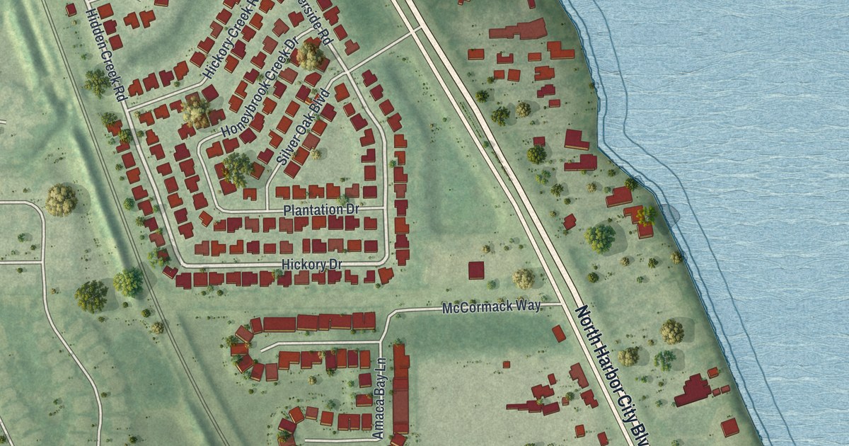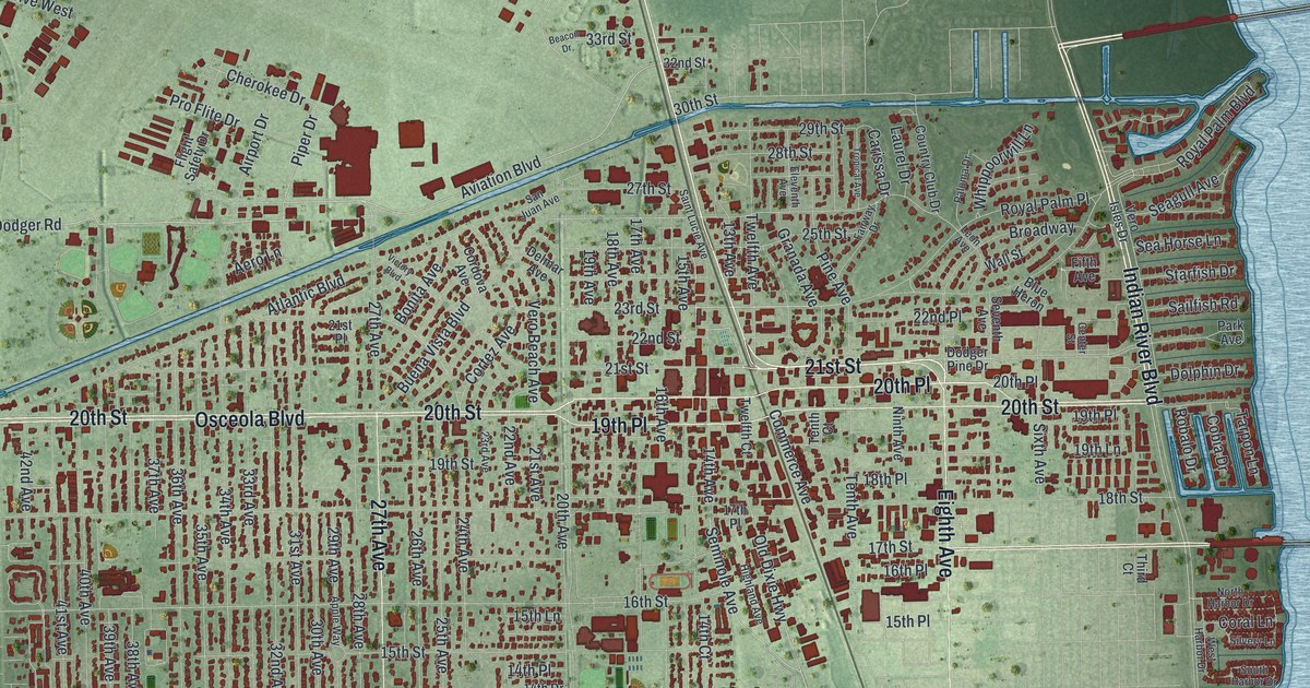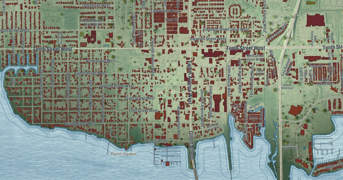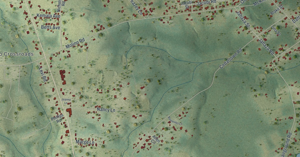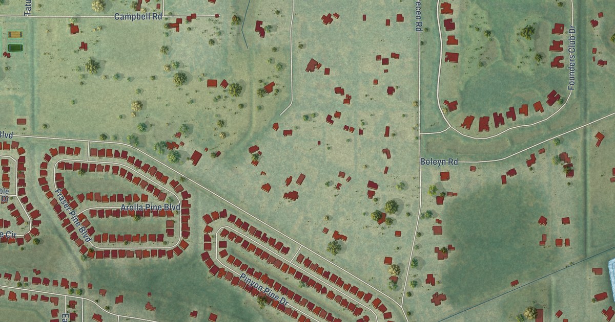
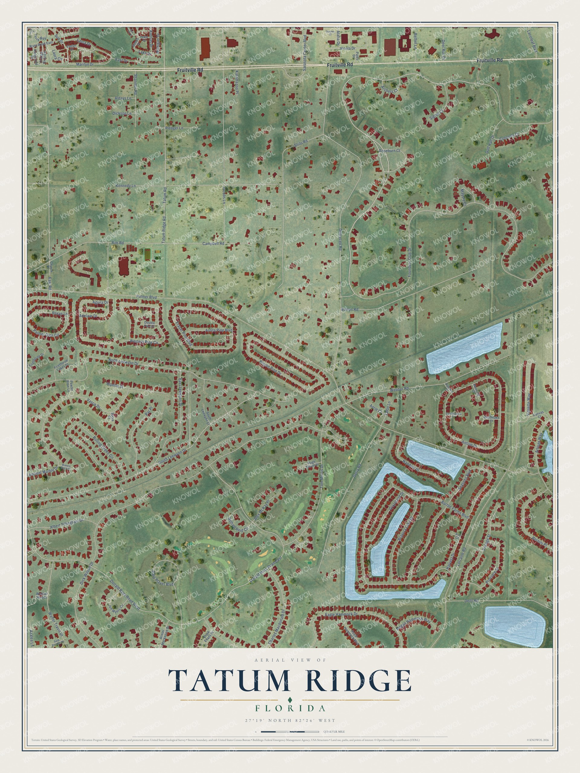
This beautifully detailed map of Tatum Ridge, Florida was created in 2026 using aerial imagery combined with modern topographical, census, street and landmark data. It’s a one-of-a-kind view of Tatum Ridge that combines accurate data with a vintage aesthetic. The map shows every building in its true location, many of the roads carry their names, and the shaded topographic relief shows the shape of the land.
Explore an aerial view of Tatum Ridge, Florida
On the map you’ll find Fruitville Road, Palmer Glen Circle, Founders Club Drive, Lake Drive, Western Pine Circle, Palmer Boulevard, Dick Wilson Drive, Debrecen Road, Lorraine Road, North Leewynn Drive, Barton Farms Boulevard, Tatum Road, and more. If you look closely you can even find your house accurately drawn in its correct location. Zoom in on the preview to look for yours.
Take a closer look at the Tatum Ridge map
Names on this map
These names are printed on this map.
Streets and roads: Fruitville Road, Palmer Glen Circle, Founders Club Drive, Lake Drive, Western Pine Circle, Palmer Boulevard, Dick Wilson Drive, Debrecen Road, Lorraine Road, North Leewynn Drive, Barton Farms Boulevard, Tatum Road.
More street names, A to Z
Adelaar Drive, Aerie Court, Aguila Drive, Alafia Drive, Albert Tillinghast Drive, Aldays Lane, Alex McKay Place, Alister Mackenzie Drive, Ancient Marble Drive, Antrim Drive, Archers Court, Arolla Pine Boulevard, Artisan Way, Azalea Lane, Beechlake Court, Bernini Place, Bethel Lane, Bianco Duck Court, Boleyn Road, Bravura Lake Drive, Campbell Road, Candlewood Court, Canvas Court, Charles Macdonald Drive, Chick Evans Place, Church Street, Ciboney Court, Colonels Court, Deer Run Drive, Delft Road, Dickson Lane, Donald Ross Road East, Donald Ross Road West, Double Pine Drive, Eagle Hammock Drive, East Drive, East Leewynn Drive, East Road, Evelyn Drive, Firethorne Drive, Firethorne Lakes Drive, Fraser Pine Boulevard, Gary Player Boulevard, Gerry Road, Golf Hall Drive, Grazeland Drive, Harvest Drive, Highview Place, Holly Street, Hugh Alison Place, Illinois Drive, Iowa Drive, Jacobs Lane, Jeff Myers Circle, Kalamazoo Place, Kansas Drive, Kennedy Lane, Laceleaf Boulevard, Laura Circle, Laura Drive, Manning Court, Marilyn Drive, Mayors Court, Megan Hammock Way, Michigan Drive, Nandina Drive, New York Drive, Orange Blossom, Paleo Drive, Par Place, Pewter Rose Lane, Pinyon Pine Drive, Pledger Lane, Province Street, Rim Road, Ripetta Street, River Road East, Rolling Green Circle, Roseburn Court, Rosewood Road, Roxye Lane, Royal Hammock Boulevard, Sacra Court, Sarasota Center Boulevard, Seasons Boulevard, Seth Raynor Place, Shannon Road, Shilo Road, Signet Court, Silo Court, South Leewynn Court, South Leewynn Drive, Sun Drive, Talon Lane, Tatum Ridge Road, Terry Way, Tom Morris Drive, Vasca Drive, Vicela Drive, Vignette Way, Vintage Street, Walter Travis Drive, Webber Road, Webber Woods, Wilfred Reid Circle.
See it on a wall
The Tatum Ridge map as a framed print. Swipe for more.


This beautifully detailed map of Tatum Ridge makes an attractive addition to your office, library, or den, and it can even be used to teach children the geography and history of the area. It also makes a great gift for anyone with Tatum Ridge roots. When you’re done exploring, click here to get your copy of the Tatum Ridge map.