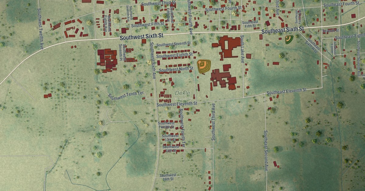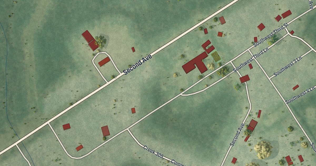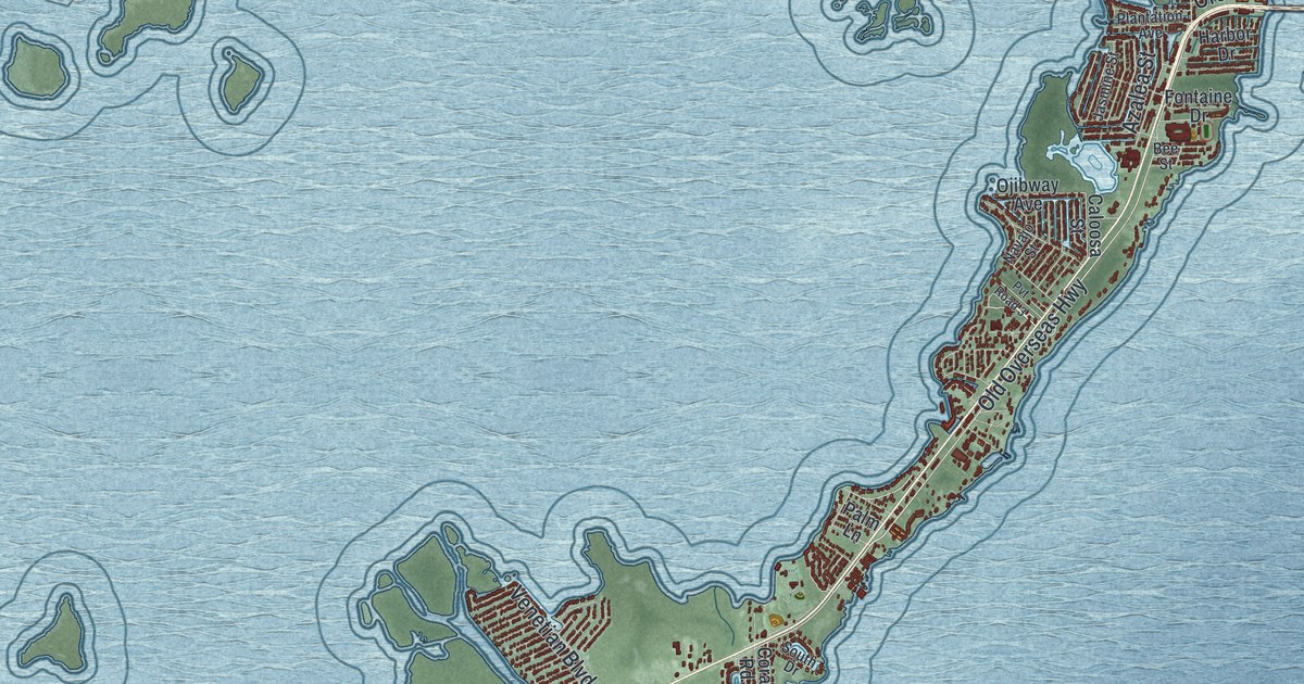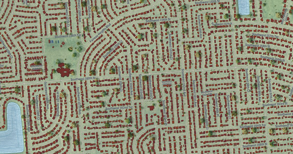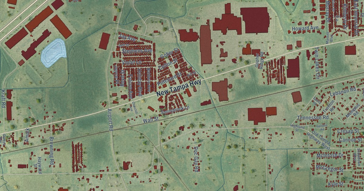
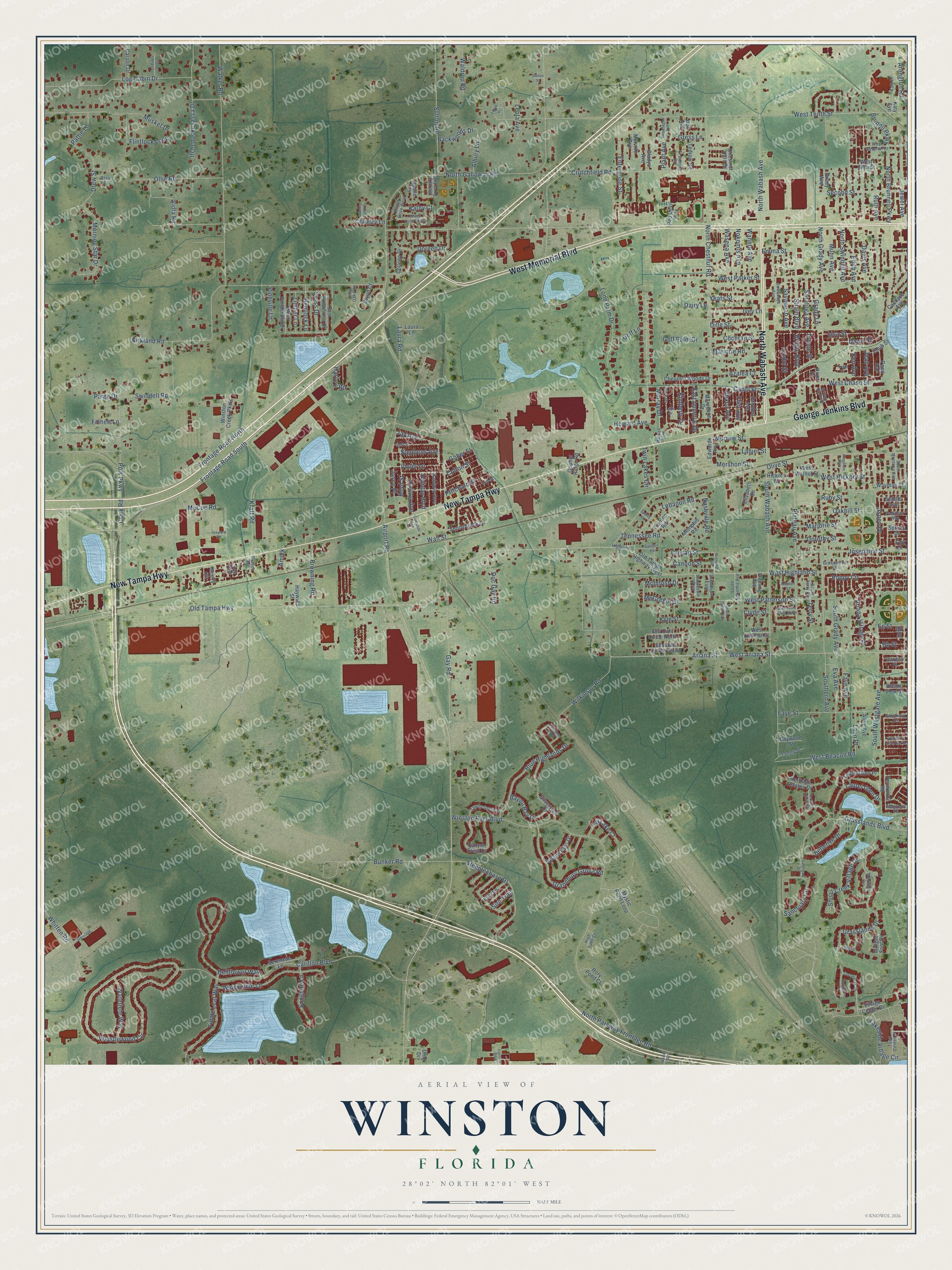
This beautifully detailed map of Winston, Florida was created in 2026 using aerial imagery combined with modern topographical, census, street and landmark data. It’s a one-of-a-kind view of Winston that combines accurate data with a vintage aesthetic. The map shows every building in its true location, many of the roads carry their names, and the shaded topographic relief shows the shape of the land.
Explore an aerial view of Winston, Florida
On the map you’ll find West Memorial Boulevard, New Tampa Highway, North Wabash Avenue, George Jenkins Boulevard, Whistlewood Circle, West Chase Street, Flint Avenue, Old Tampa Highway, Swindell Road, North Galloway Road, Airport Road, Frontage Road South, and more. If you look closely you can even find your house accurately drawn in its correct location. Zoom in on the preview to look for yours.
Did You Know?
From Internet Archive: "THE WALKER Mission was established by the Alabama Conference Dec. 11, 1833, and embraced Walker County, which then included what is now Winston County, together with some churches in adjacent counties."
Winston is a community in Polk County.
Take a closer look at the Winston map
Names on this map
These names are printed on this map.
Streets and roads: West Memorial Boulevard, New Tampa Highway, North Wabash Avenue, George Jenkins Boulevard, Whistlewood Circle, West Chase Street, Flint Avenue, Old Tampa Highway, Swindell Road, North Galloway Road, Airport Road, Frontage Road South.
More street names, A to Z
Albury Lane, Alice Avenue, Alice Drive, Amick, Apollo Court, Arapahoe Avenue, Ariana Street, Ariana Village Place, Arlene Street, Arlington Road, Aspen Drive, Azalea Court, Backwoods Drive, Baldwin Avenue, Bayou Bay Drive, Baywood Street, Bb Street, Bell Avenue, Bellerive Drive, Bellflower Way, Blue Highlands Drive, Boyd Street, Bridge Boulevard, Brittany Nicole Drive, Brookway Terrace, Browning Road, Brunell Parkway, Bryon Court, Bunker Road, Camden Avenue, Canal Street, Candyce Avenue, Cannon Street, Canyon Crest Drive, Carillon Boulevard, Carson Drive, Century Boulevard, Chestnut Hills Drive, Chestnut Woods Drive, Chub Street, Churchill Avenue, Clark Road, Clyde Street, Cochran Street, Colleen Drive, Colt Lane, Colton Street, Country Lane, Country Lane Court, Cresap Street, Crutchfield Road, Dairy Lane, Dalton Street, Davis Avenue, Dawn Street, Dd Street, Dille Street, Dmg Drive, Doc Gay Road, Doreen Drive, Dorothy Street, Drew Court, Drew Street, East Imperial Drive, East Ponderosa Drive, Edith Avenue, Edwards Avenue, Ee Street, El Camino Road, Elizabeth Street, Emma Street, Enterprise Street, Eva Avenue, Falcon Avenue, Faye Avenue, Faye Street, Fichett Lane, Fiddle Leaf Way, Filly Lane, Fleming Avenue, Flintlock Loop, Frontage Road North, Gallatin Road, Garden Place, Gateland, Gay Road, Gentry Circle, Glades Avenue, Gladys Avenue, Gober Street, Golf Lane, Golf Palm Drive, Gopher Ridge Road, Grady Avenue, Grady Lane, Grandbury Grove Road, Grasslands Boulevard, Grasslands Drive, Greenwood Street, Gress Lane, Harvey Road, Hayward Street, Hemlock Lane, Heritage Estates Drive, Heritage Lakes Drive, Hickory Street, High Falls Court, Highland Street, Hill Street, Holiday Boulevard, Howard Avenue, Hunter Street, Itchepackesassa Drive, Ithaca Avenue, Ivey Lane, Ivy Lake Court, Jay Avenue, Jean Avenue, Jeff Street, Jewel Avenue, Josephine Street, Joyce Place, Kathy Court, Katy Avenue, Katy Drive, Ken Avenue, Kimberly Drive, Kirkland Road, Kraft Road, Kyle Street, Lake Drive, Lakeside Village Circle, Lanier Street, Laun Place, Laura Lane, Laura Road, Laurel Glen Drive, Laurel Glen Place, Lazy Oaks Lane, Lebanon Road, Lee Avenue, Legends Circle, Leola Avenue, Limber Lane, Lisa Street, Log Cabin Drive, Lone Palm Drive, Lyndol Street, Magnolia Road, Marjorie Road, Marjorie Street, Markell Boulevard, Marveline Drive, McCue Road, McGregor Street, McIntosh Drive, Medinah Circle, Melville Avenue, Memphis Road, Mercury Drive East, Mershon Street, Milner Drive South, Milner Drive West, Minnehaha Avenue, Morning Star Drive, Morrow Street, Munn Avenue, Murray Drive, Musket Drive, Mystic Pond Loop, Nashville Road, Nobel Court, Nokomis Avenue, North Brunnell Parkway, North Chestnut Road, North Grady Avenue, North Parkway Frontage Road, North Swindell Avenue, Oakhill Street, Old Tampa Highway West, Olive Street, Ollie Road, Paige Drive, Palamino Way, Pattie Lane, Pearl Avenue, Periwinkle Road, Pineville Lane, Plant Avenue, Plateau Avenue, Polk Parkway, Poppy Circle, Pristine Loop, Pritchard Street, Red Devil Way, River Circle, Rory Pond Court, Ruby Street, Ruth Avenue, Ryland Falls Drive, Saddle Trail, Sanctuary Circle, Sanctuary Drive, Saratoga Avenue, Savannah Avenue, Scenic View Drive, Sea Oats Circle North, Sea Oats Circle South, Second Street, Serenade Lane, Shoal Creek Village Drive, Silverview Drive, Sire Trail, Skowhegan Avenue, Snowdown East, Snowdown West, Somerville Drive North, Songbird Lane, Southern Avenue, South Grady Avenue, South Montana Avenue, South Nokomis Avenue, South Smith Avenue, South Terry Avenue, South Wabash Avenue, South Westgate Avenue, Sparta Road, Spruce Drive, Steeplechase Drive, Stephens Avenue, Steward Road, Strain Boulevard, Sunnybrook Lane, Sutton Road, Suwannee Avenue, Swiss Drive, Tall Pines Trail, Tammy Street, Tawny Grove Place, Tedrow Road, Tennessee Road, Tenth Street, Terry Street, Town Center Drive, Trenton Road, Turnberry Drive, Turnberry Lane, Twin Lakes Circle, Village Center Drive, Viola Road, Violet Lane, Waldrup Road, Walker Road, Wall Street, Waneta Avenue, Waring Road, Wasena Avenue, Waterlute Way, Wayman Street, West Ariana Street, West Beacon Road, West Belmar Street, West Fifth Street, West Hickory Street, West Highland Street, West Parker Street, West Patterson Street, West Ponderosa Drive, West Seventh Street, West Tenth Street, West Walnut Street, Whitten Road, Wilkinson Road, Windchime Lane, Winged Foot Drive, Winston Creek Parkway, Winston Park Boulevard, Woodhill Drive North, Yeats Street.
See it on a wall
The Winston map as a framed print. Swipe for more.


This beautifully detailed map of Winston makes an attractive addition to your office, library, or den, and it can even be used to teach children the geography and history of the area. It also makes a great gift for anyone with Winston roots. When you’re done exploring, click here to get your copy of the Winston map.