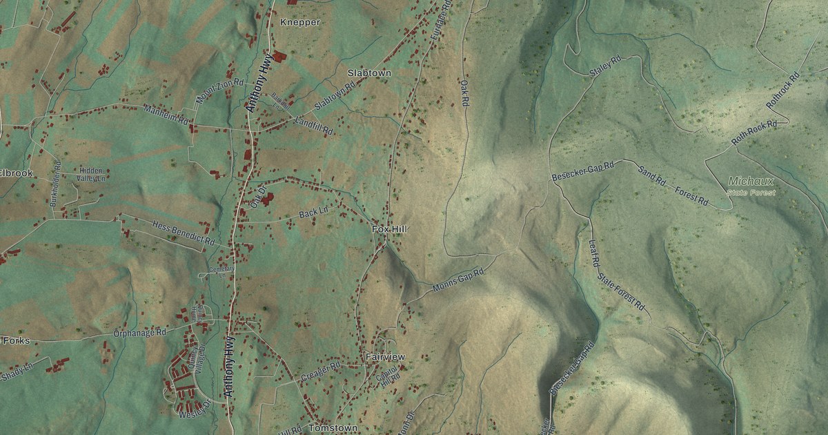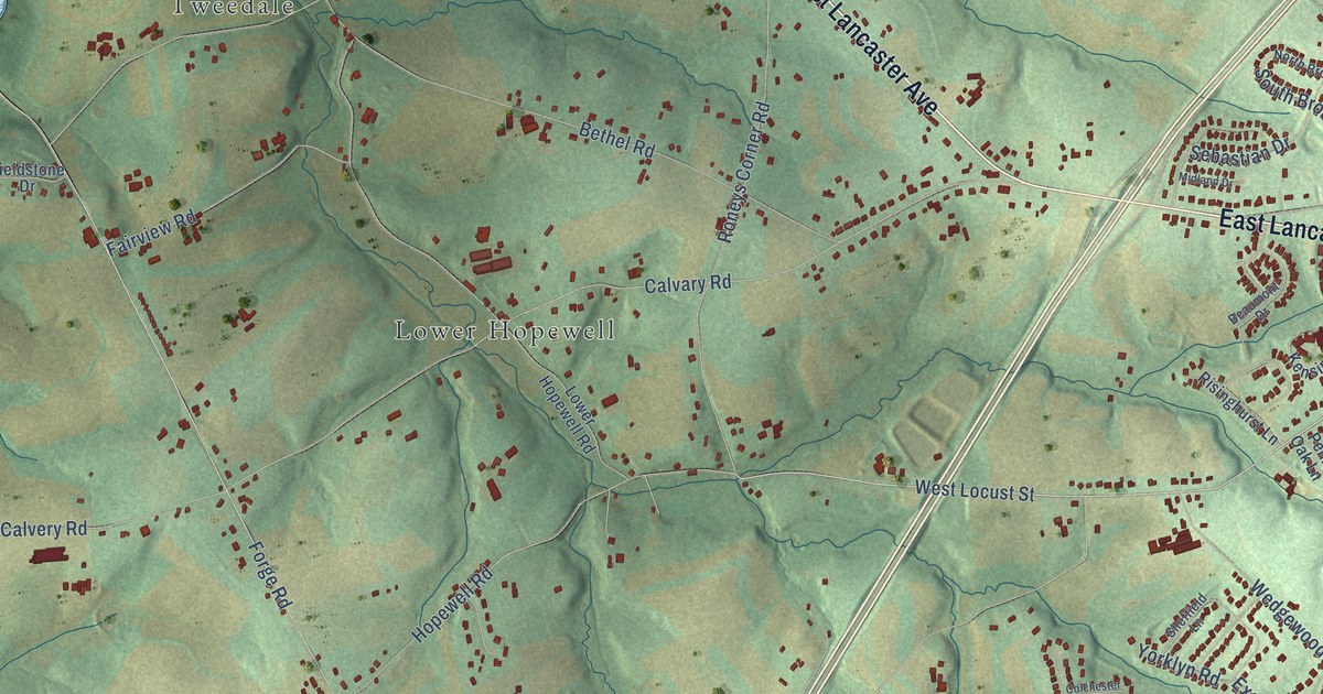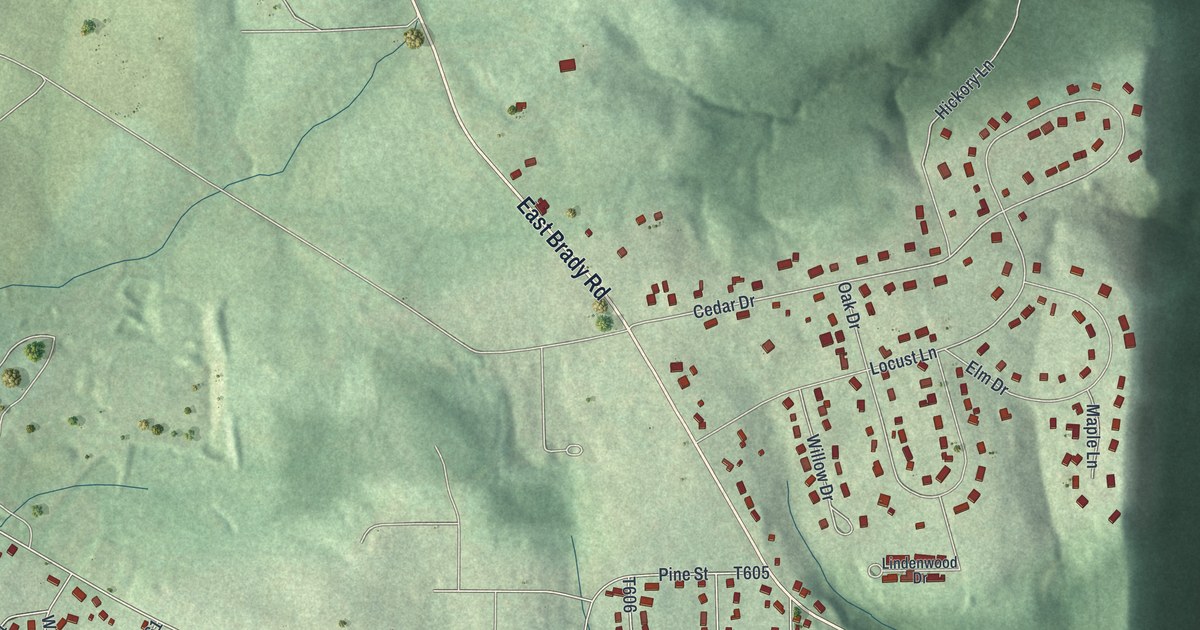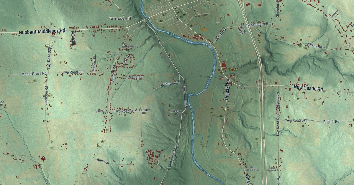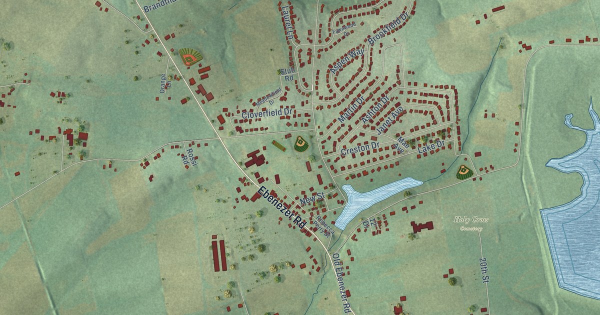
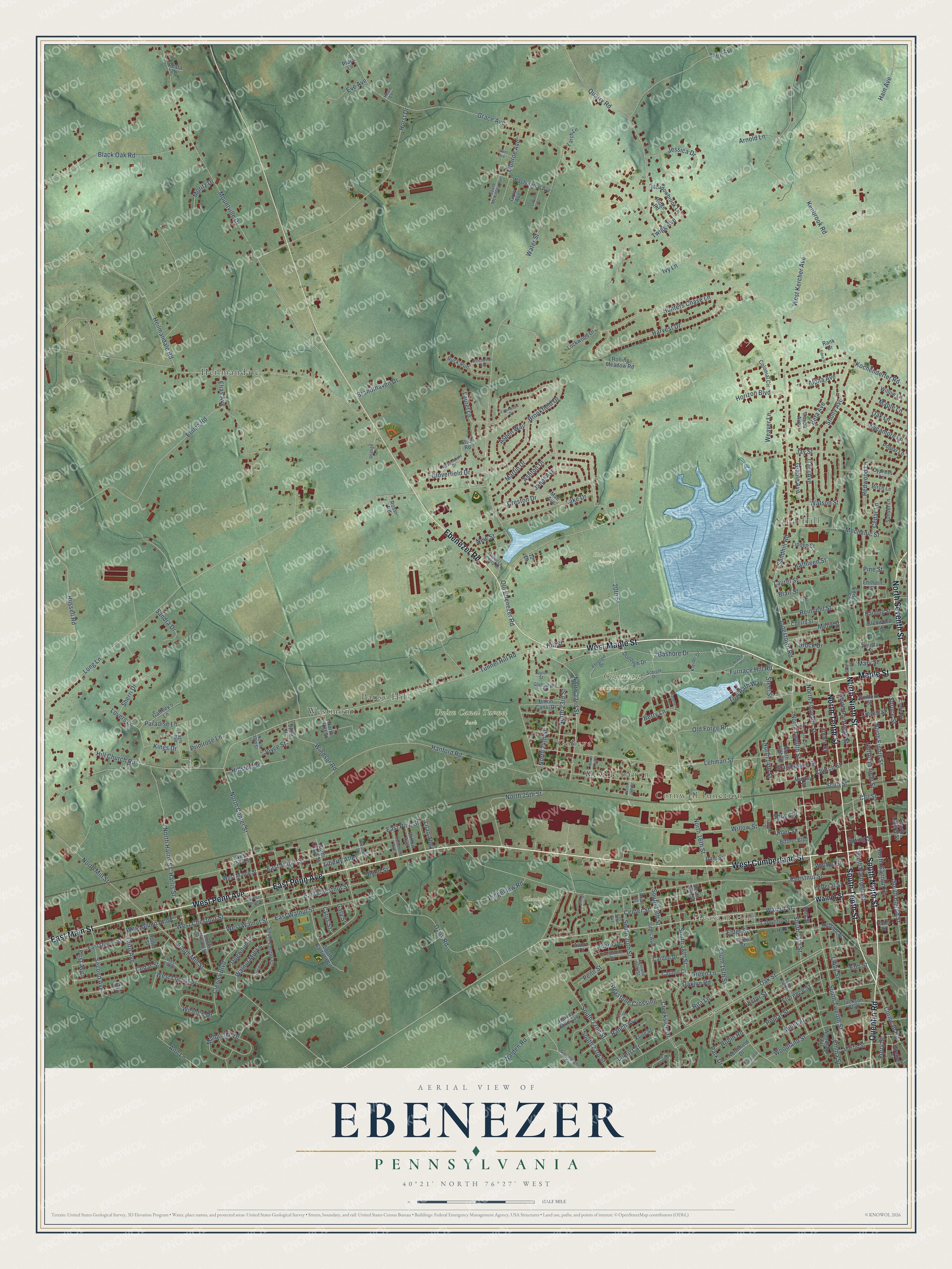
This beautifully detailed map of Ebenezer, Pennsylvania was created in 2026 using aerial imagery combined with modern topographical, census, street and landmark data. It’s a one-of-a-kind view of Ebenezer that combines accurate data with a vintage aesthetic. The map shows every building in its true location, many of the roads carry their names, and the shaded topographic relief shows the shape of the land.
Explore an aerial view of Ebenezer, Pennsylvania
On the map you’ll find Pleasant Hill, Coleman Memorial Park, Gloninger Park, Holy Cross Cemetery, Union Canal Tunnel Park, Heilmandale, Sand Hill, Westmont, Cornwall Junction, Coheva, Pansy Hill, West Lebanon, and more. If you look closely you can even find your house accurately drawn in its correct location. Zoom in on the preview to look for yours.
Did You Know?
From Internet Archive: "The first council meeting was held in the Old Court House on Washington street on April 28, at which Ebenezer Johnson was elected Mayor, also a city treasurer and a clerk."
Ebenezer is a community in Lebanon County.
Take a closer look at the Ebenezer map
Names on this map
These names are printed on this map.
Places: Pleasant Hill, Coleman Memorial Park, Gloninger Park, Holy Cross Cemetery, Union Canal Tunnel Park, Heilmandale, Sand Hill, Westmont, Cornwall Junction, Coheva, Pansy Hill and West Lebanon.
Streets and roads: West Cumberland Street, West Maple Street, North Ninth Street, South Ninth Street, North Seventh Street, Maple Street, East Penn Avenue, East Main Street, North Tenth Street, South Tenth Street, Ebenezer Road, West Penn Avenue.
More street names, A to Z
12' Drive, 20th Street, 21st Street, 32nd Street, Acorn Court, Acorn Drive, Alpha Avenue, Amelia Street, Ann Lane, Arch Street, Arnold Lane, Ashton Drive, Aspen Way, Bashore Drive, Berry Lane, Beta Avenue, Birch Lane, Bittner Boulevard, Black Oak Road, Blair Street, Brandthaven Drive, Brandywine Street, Brock Drive, Brookfield Drive, Buck Run, C&l Street, Cappa Avenue, Carlton Court, Carlton Drive, Cedar Lane, Cedar Street, Center Street, Chapel Street, Cherry Street, Chestnut Street, Church Street, Cleona Boulevard, Cloverfield Drive, Colonial Circle, Cornwall Road, Creekside Drive, Creston Drive, Crowell Street, Cypress Lane, Cyrus Street, Dairy Road, Dale Street, Decatur Street, Dogwood Lane, Donough Drive, Eagle Avenue, East Chestnut Street, East Maple Street, East Pine Street, East Queen Street, East Walnut Street, Edison Street, Edna Street, Ehrgood Drive, Ehrhorn Street, Elder Street, Elias Avenue, Elizabeth Street, Elm Street, Emma Road, Emma Street, Eve Avenue, Fawnwood Drive, Federal Street, Fieldcrest Road, First Avenue, Florence Street, Forry Street, Furnace Hill Road, Gaffney's Lane, Gary Avenue, Gary Street, Gibble Avenue, Glenwood Street, Glonninger Street, Goose Street, Grace Avenue, Grant Avenue, Green Lane, Greiner Street, Greystone Crossing, Greystone Drive, Groy Avenue, Guilford Street, Hain Avenue, Hanford Road, Harding Street, Harris Street, Harvest Drive, Harvey John Avenue, Hazel Street, Heart Lane, Heilmandale Road, Highland Glen Street, Hill Church Road, Hillside Drive, Hillside Street, Hill Street, Hoffer Street, Horizon Boulevard, Horst Drive, Hunters Chase Lane, Ivy Lane, Jackson Boulevard, Janet Avenue, Jay Street, Jean Street, Jessica Drive, John Avenue, Johns Avenue, Jones Street, Jonestown Road, Joyce Street, Kathleen Street, Kenbrook Road, Kings Drive, Kline Street, Kochenderfer Road, Krause Drive, Kreider Drive, Lafayette Street, Lake Drive, Larch Lane, Laurel Lane, Laurel Street, Lehman Street, Libby Street, Liberty Alley, Lilac Alley, Lincoln Street, Linden Street, Lockwood Drive, Locust Street, Long Lane, Lovers Lane, Mae Avenue, Maple Lane, Martin Drive, Martin Street, Mary Street, Meadowbrook Lane, Meadowfield Drive, Mechanic Street, Meily Street, Millbridge Drive, Miller Street, Monroe Avenue, Moritz Drive, Mountville Drive, Murray Street, Natalie Lane, New Street, North 13th Street, North 14th Street, North 16th Street, North 19th Street, North 21st Street, North 22nd Street, North 23rd Street, North 24th Street, North 25th Street, North 31st Street, North 33rd Street, North Center Street, North Cyrus Street, North Eighth Street, North Eleventh Street, Northfield Drive, North Gannon Street, North Harris Street, North Liberty Street, North Mill Street, North Partridge Street, North Twelfth Street, Oak Knoll Circle, Oak Lane, Oaklyn Road, Oak Street, Old Ebenezer Road, Old Forge Road, Orange Lane, Paradise Lane, Park Drive, Penn Street, Pesta Lane, Pine Street, Plum Lane, Poplar Lane, Poplar Street, Primrose Lane, Quarry Road, Quentin Road, Ranch Avenue, Rank Drive, Raspberry Lane, Rebecca Perry Street, Redwood Lane, Reed Street, Reinoehl Street, Ridge Road, Ridgeview Road, Rita Lane, Robin Road, Rolling Meadow Road, Rosemont Avenue, Rossi Road, Russell Road, Ruth Street, Sandhill Road, Sandra Drive, Schroff Drive, Scull Street, Second Avenue, Sherri Drive, Sholly Avenue, Shuey Street, South 13th Street, South 14th Street, South 16th Street, South 17th Street, South 18th Street, South 19th Street, South 20th Street, South 22nd Street, South 23rd Street, South Center Street, South Eighth Street, South Gannon Street, South Garfield Street, South McKinley Avenue, South Mill Street, South Partridge Street, South Twelfth Street, South Wilson Street, Spring Street, Spruce Street, Steel Street, Stoneleigh Drive, Stub Road, Sunset Lane, Sycamore Lane, Taylor Street, Third Avenue, Todd Court, Tow Path Way, Troy Avenue, Tunnel Hill Road, Twigg Avenue, Union Canal Drive, Union Street, Unler Street, Victor Street, Village Court, Walden Road, Walnut Mill Lane, Walnut Street, Walton Street, Washington Avenue, Water Street, Watson Street, Weaver Lane, West Chestnut Street, West Elm Street, West Kercher Avenue, West Locust Street, West Pine Street, West Union Alley, West Union Street, West Walnut Street, Willow Avenue, Willow Lane, Willow Street, Wilshire Drive, Winchester Circle, Windsor Road, Woodland Ests, Woodland Street.
See it on a wall
The Ebenezer map as a framed print. Swipe for more.


This beautifully detailed map of Ebenezer makes an attractive addition to your office, library, or den, and it can even be used to teach children the geography and history of the area. It also makes a great gift for someone who left Ebenezer and still calls it home. When you’re done exploring, click here to get your copy of the Ebenezer map.