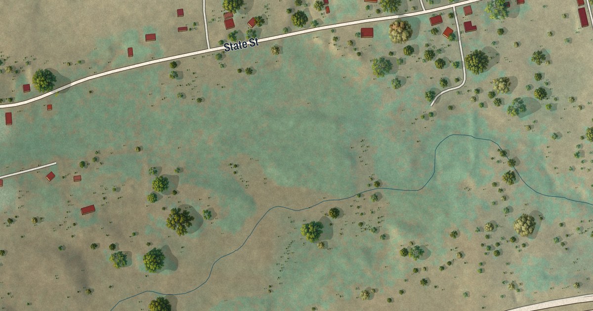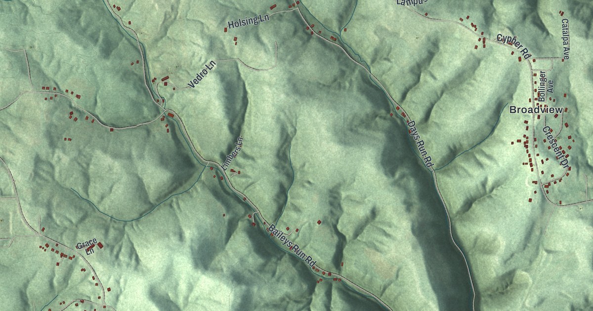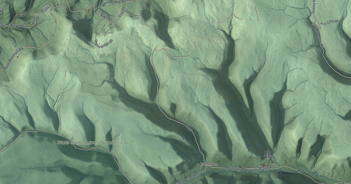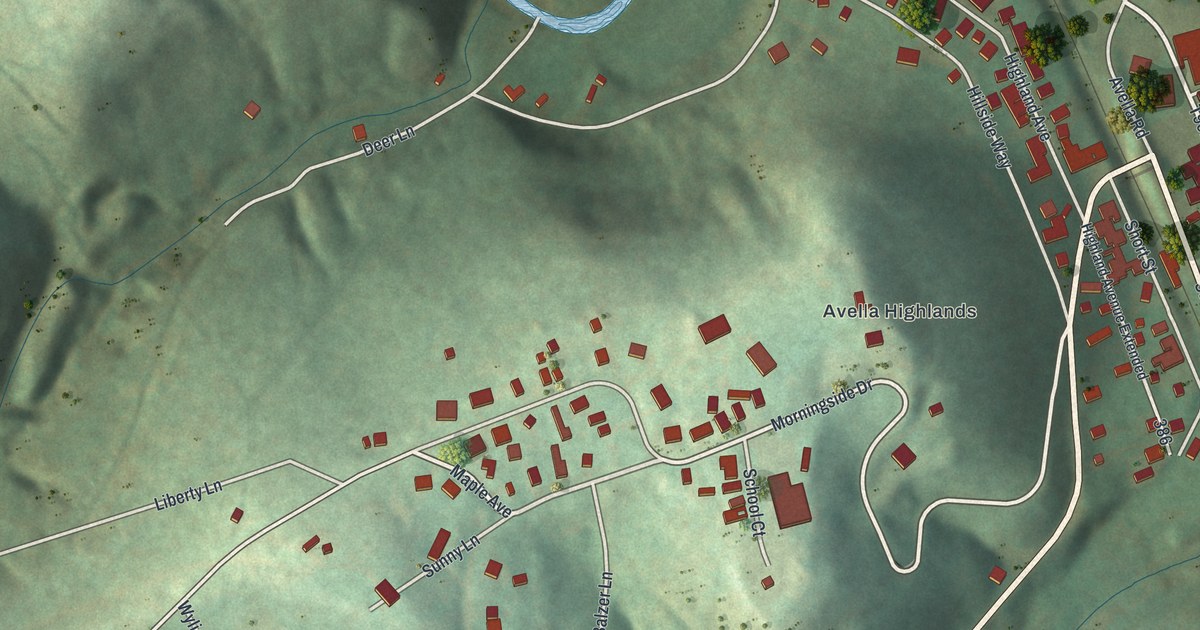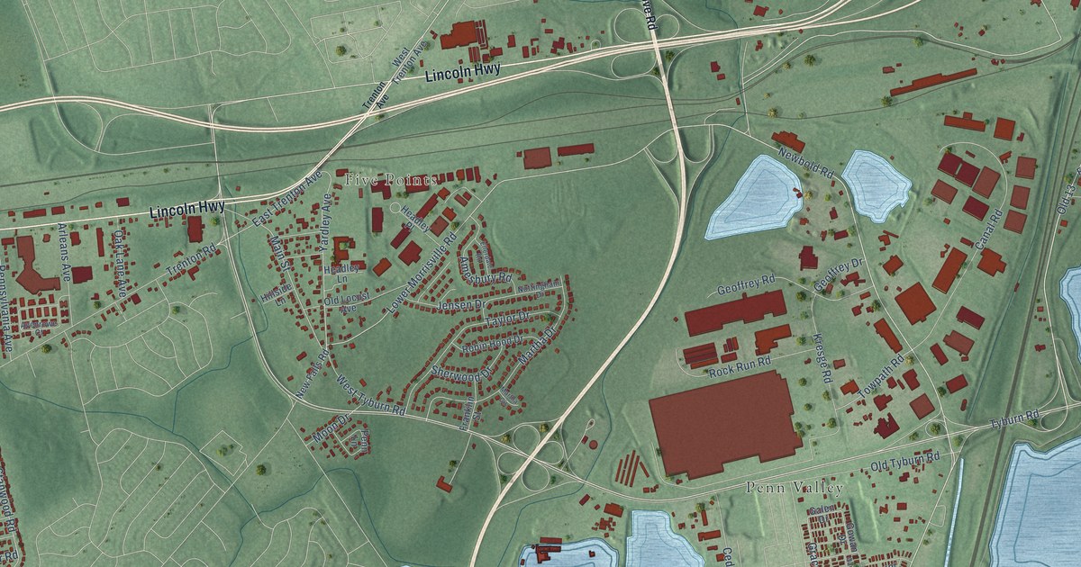
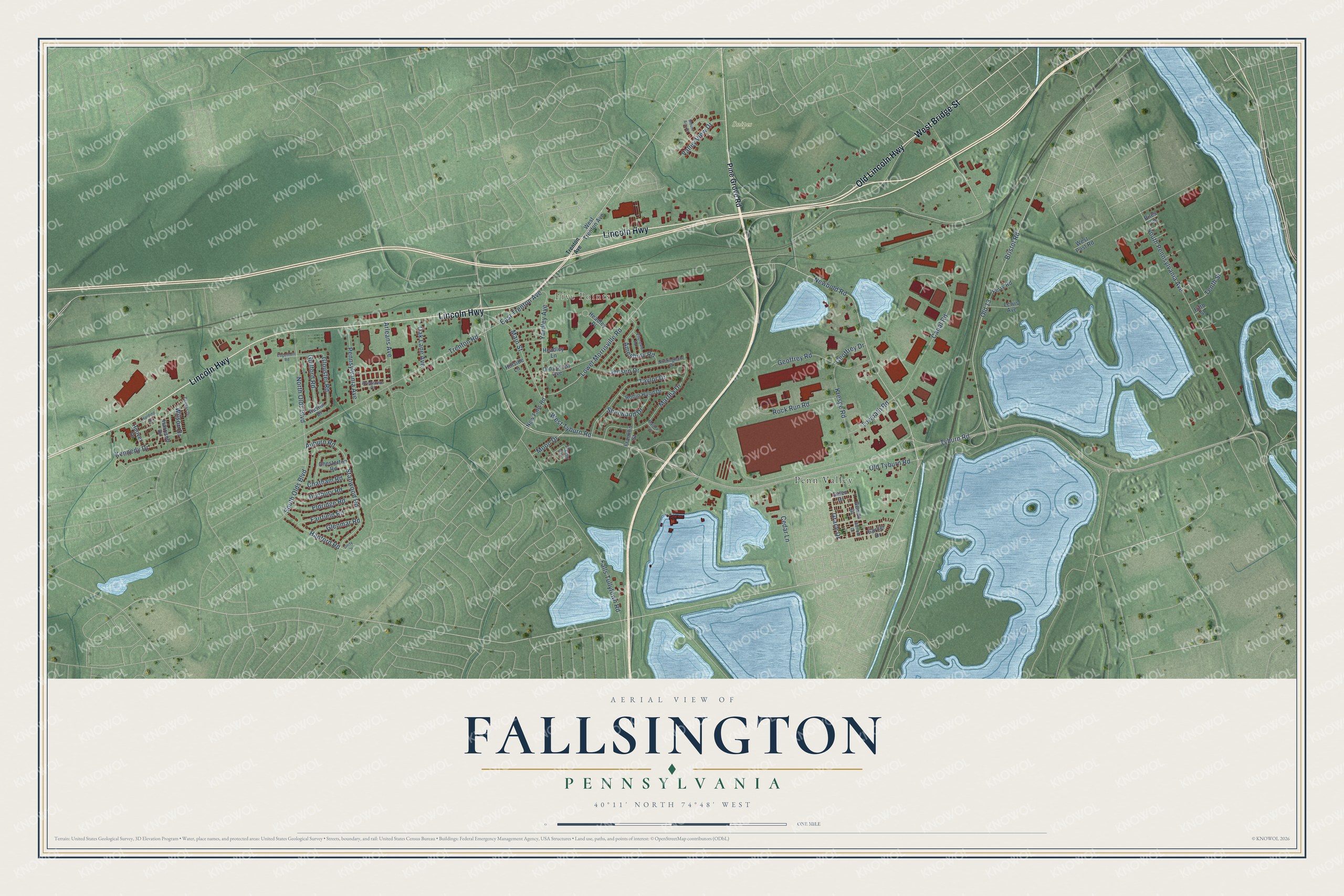
This beautifully detailed map of Fallsington, Pennsylvania was created in 2026 using aerial imagery combined with modern topographical, census, street and landmark data. It’s a one-of-a-kind view of Fallsington that combines accurate data with a vintage aesthetic. The map shows every building in its true location, many of the roads carry their names, and the shaded topographic relief shows the shape of the land.
Explore an aerial view of Fallsington, Pennsylvania
On the map you’ll find Five Points, Snipes, Penn Valley, and Old 13, along with Old Lincoln Highway, Lincoln Highway, West Bridge Street, Tyburn Road, Newbold Road, Lower Morrisville Road, Bristol Road, Grace Drive, and more. If you look closely you can even find your house accurately drawn in its correct location. Zoom in on the preview to look for yours.
Did You Know?
From the 1876 History of Bucks County, Pennsylvania: "The postoffices in Falls are Fallsington, established in 1849, and James Thompson appointed postmaster; Tullytown in 1829, and Joseph Hutchinson postmaster; and Oxford VallejT, established in 1849, when John Gr."
Fallsington is a community in Bucks County.
Take a closer look at the Fallsington map
Names on this map
These names are printed on this map.
Places: Five Points, Snipes and Penn Valley.
Streets and roads: Old Lincoln Highway, Lincoln Highway, West Bridge Street, Tyburn Road, Newbold Road, Lower Morrisville Road, Bristol Road, Old 13, Grace Drive, Stanwood Road, Yardley Avenue, Main Street.
More street names, A to Z
Amesbury Road, Arleans Avenue, Auburn Road, Austin Drive, Avenrowe Court, Biles Lane, Canal Road, Cedar Lane, Chatham Road, Chesterton Road, Dunbury Road, East Trenton Avenue, Edgemont Road, Eldridge Road, Ellerdale Road, Fairfield Road, Falls Tullytown Road, Ferry Road, Fifth Street, Franklin Street, Galen Drive, Gambol Drive, Garner Drive, Geoffrey Drive, Geoffrey Road, Glenmar Road, Glouster Road, Gowan Drive, Guilford Road, Hanford Road, Harding Drive, Harrison Drive, Headley Lane, Headley Place, Hillside Lane, Hoover Drive, Jensen Drive, Kennedy Drive, Kresge Road, Lewis Avenue, Martha Circle, Martha Drive, Moon Drive, Mount Airy Drive, New Falls Road, North Olds Boulevard, Nottingham Drive, Oak Lane Avenue, Old Locust Avenue, Old Tyburn Road, Penn Lane, Pennsylvania Avenue, Pine Grove Road, Reagan Drive, Robin Hood Drive, Rock Run Road, Sherwood Drive, South Olds Boulevard, South Pennsylvania Avenue, Taylor Drive, Tenth Street, Towpath Road, Trenton Avenue, Trenton Road, Unity Drive, Valley View Drive, West Post Road, West Trenton Avenue, West Tyburn Road, Wilson Drive.
See it on a wall
The Fallsington map as a framed print. Swipe for more.


This beautifully detailed map of Fallsington makes an attractive addition to your office, library, or den, and it can even be used to teach children the geography and history of the area. It also makes a great gift for anyone with Fallsington roots. When you’re done exploring, click here to get your copy of the Fallsington map.