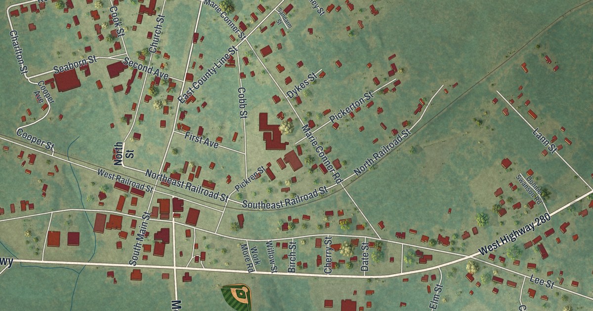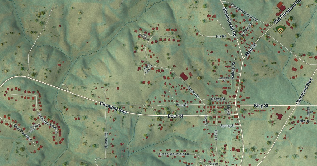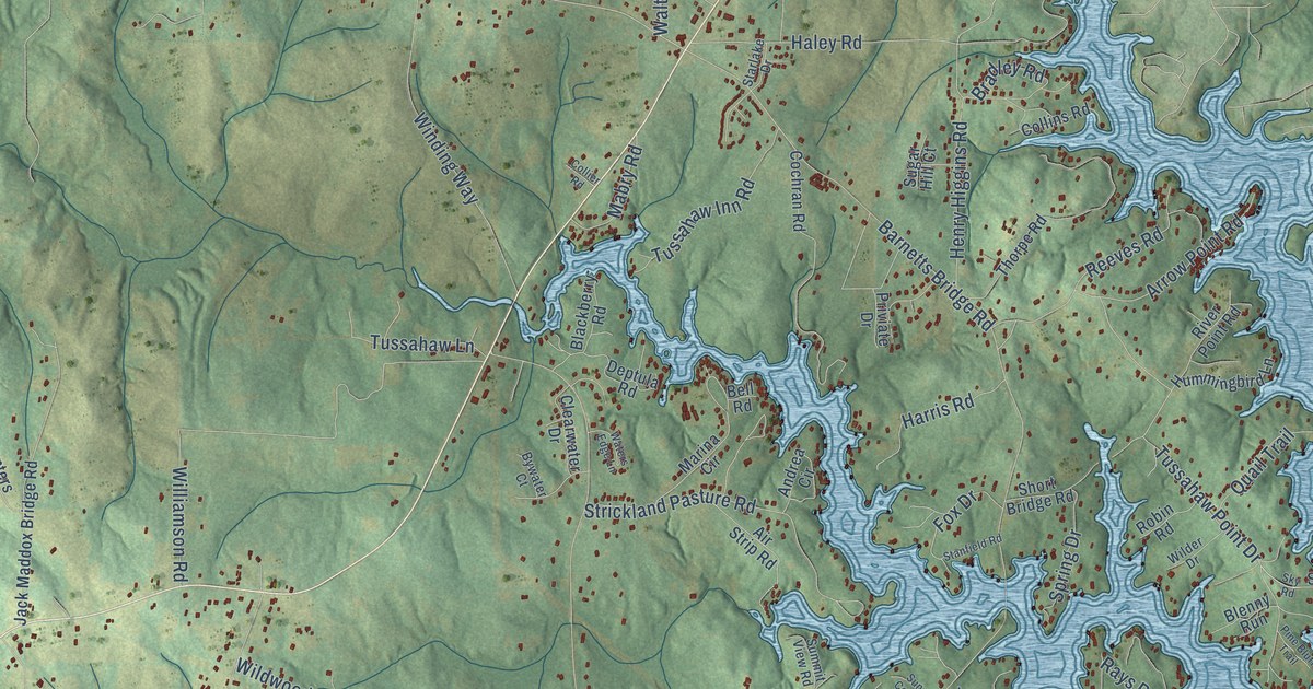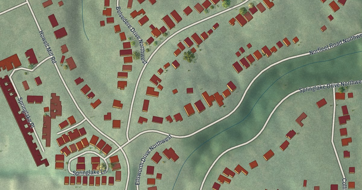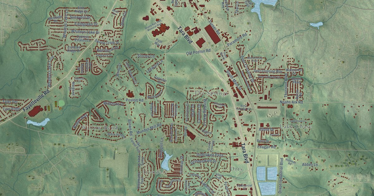
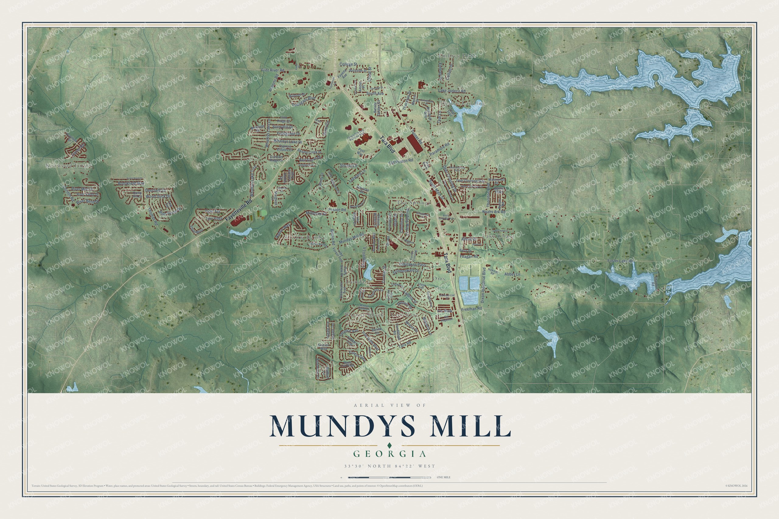
This beautifully detailed map of Mundys Mill, Georgia was created in 2026 using aerial imagery combined with modern topographical, census, street and landmark data. It’s a one-of-a-kind view of Mundys Mill that combines accurate data with a vintage aesthetic. The map shows every building in its true location, many of the roads carry their names, and the shaded topographic relief shows the shape of the land.
Explore an aerial view of Mundys Mill, Georgia
On the map you’ll find The Springs, Kenwood Forest, Embrey Hills, Walnut Creek, Orrs, Willow Bend, Lake Chase, Drakes Landing, Irondale, and Iron Gate, along with Tara Boulevard, Fayetteville Road, and more. If you look closely you can even find your house accurately drawn in its correct location. Zoom in on the preview to look for yours.
Take a closer look at the Mundys Mill map
Names on this map
These names are printed on this map.
Places: The Springs, Kenwood Forest, Embrey Hills, Walnut Creek, Orrs, Willow Bend, Lake Chase, Drakes Landing, Irondale and Iron Gate.
Streets and roads: Tara Boulevard, Fayetteville Road, South Main Street, Iron Gate Boulevard, Flint River Road, Turner Road, Mundys Mill Road, Freeman Road, Noahs Ark Road, Poston Road, Brown Road, Foster Lake Road.
More street names, A to Z
Abbey Lane, Alford Drive, Almosa Lane, Arnold Place, Augustus Court, Autumn Court, Batiste Garden Circle, Bell Grove Drive, Berry Drive, Betty Talmadge Avenue, Blue Heron Drive, Bonita Circle, Braxley Way, Brookfield Way, Burnside Street, Byrne Drive, Byrom Parkway, Byrom Road, Camp Hill Lane, Candlelight Road, Carolina Drive, Carter Road, Chappell Lane, Chason Woods Court, Chestnut Street, Clearwater Trail, Cloud Street, College Street, Collins Drive, Commercial Court, Commons Court, Commons Crossing, Corinth Road, Cormac Street, Crimson Ridge Drive, Curries Crossing, Cypress Estates Cv, Dahlia Drive, Deer Crossing Circle, Deer Crossing Drive, Deer Crossing Lane, Deer Crossing Point, Deer Crossing Way, Deerfield Drive, Deputy Rick Daly Memorial Boulevard, Dixon Industrial Boulevard, Dunivin Drive, Embrey Drive, Ethan Moor, Even View Drive, Fayette Avenue, Feagan Road, Fieldgreen Drive, Flint Ridge Court, Forest Glen, Forest Knoll Drive, Foxfire Terrace, Garrison Court, Grindenwald Drive, Haley Court, Hickman Road, Interlaken Pass, Iris Walk, Ivey Ridge Circle, Ivygate Avenue, Ivygate Terrace, Jenni Circle, Jenni Lane, Kaden Drive, Labelle Street, Lake Chase Lane, Lake Forest Trce, Lake Jodeco Road, Lantana Trail, Leeward Lane, Maple Leaf Ridge, Margaret Lane, Mercer Drive, Millstone Drive, Old Dogwood, Old Poston Road, Orr Road, Overlook Drive, Owen Parkway, Paramore Road, Point View Drive, Port Royal Court, Post Way, Rabun Way, Red Briar Way, Redbud Lane, River Bend Drive, River Mist Drive, River Valley Drive, Roberts Road, Rosewood Circle, Sedgwick Drive, Shamrock Road, Silent Trail, Silverstone Trail, Sinclair Way, South Avenue, South Main Court, Stormy Lane, Sunnybrook Drive, Sunnyhill Drive, Swamp Creek Drive, Tara Road, Teal Lane, Teal Terrace, Teal Trail, Terance Avenue, Thomas Road, Thornton Boulevard, Thornton Drive, Tobano Trail, Todiway Court, Towngate Boulevard, Tyler Ridge, Tyler Terrace, Utah Drive, Vermont Court, Walnut Creek Lane, Washington Circle, Watercrest Drive, Westside Drive, Whaleys Lake Drive, Whaleys Lake Lane, Whaleys Lake Trce, Willow Bend Drive, Wilmont Drive, Winding Way Lane, Windy Court, Wisteria Lane, Wood Duck Drive, Wrens Drive, Wynnbrook Lane.
See it on a wall
The Mundys Mill map as a framed print. Swipe for more.


This beautifully detailed map of Mundys Mill makes an attractive addition to your office, library, or den, and it can even be used to teach children the geography and history of the area. It also makes a great gift for anyone who grew up in Mundys Mill or moved away. When you’re done exploring, click here to get your copy of the Mundys Mill map.