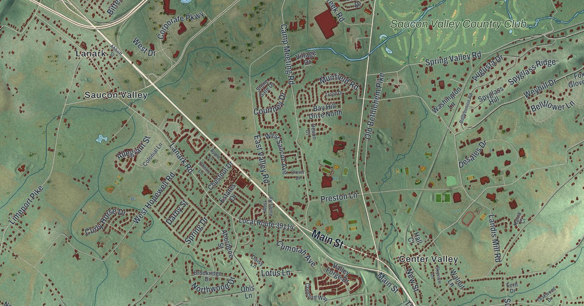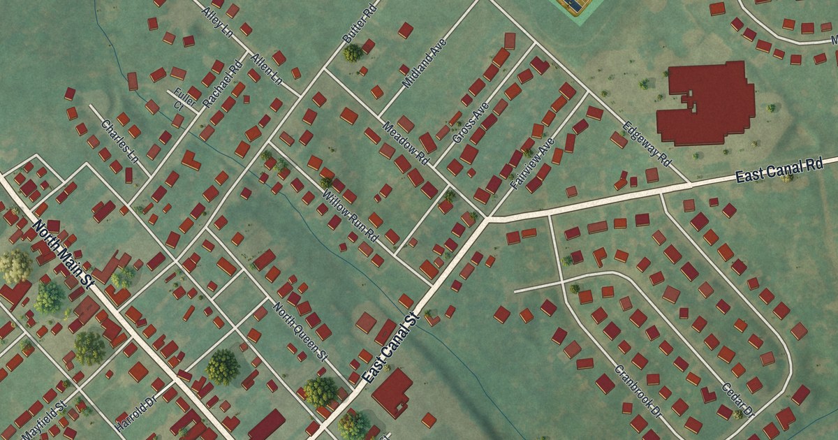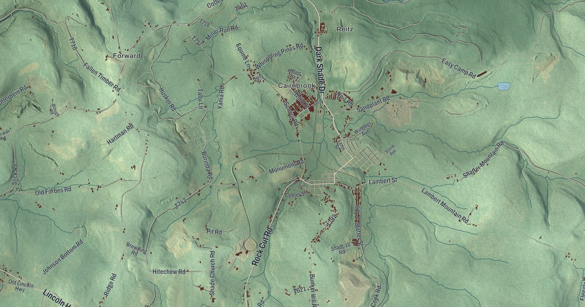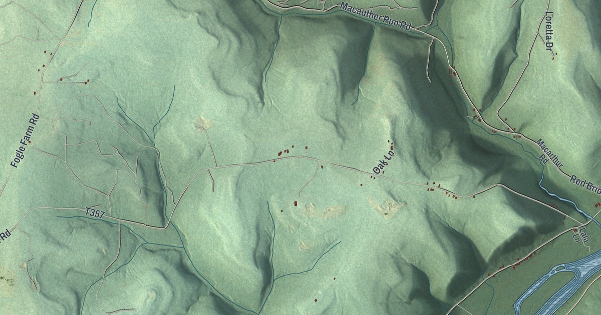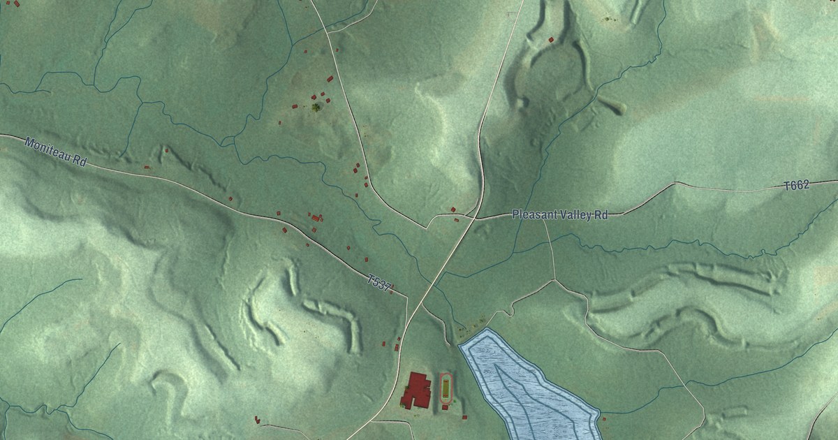
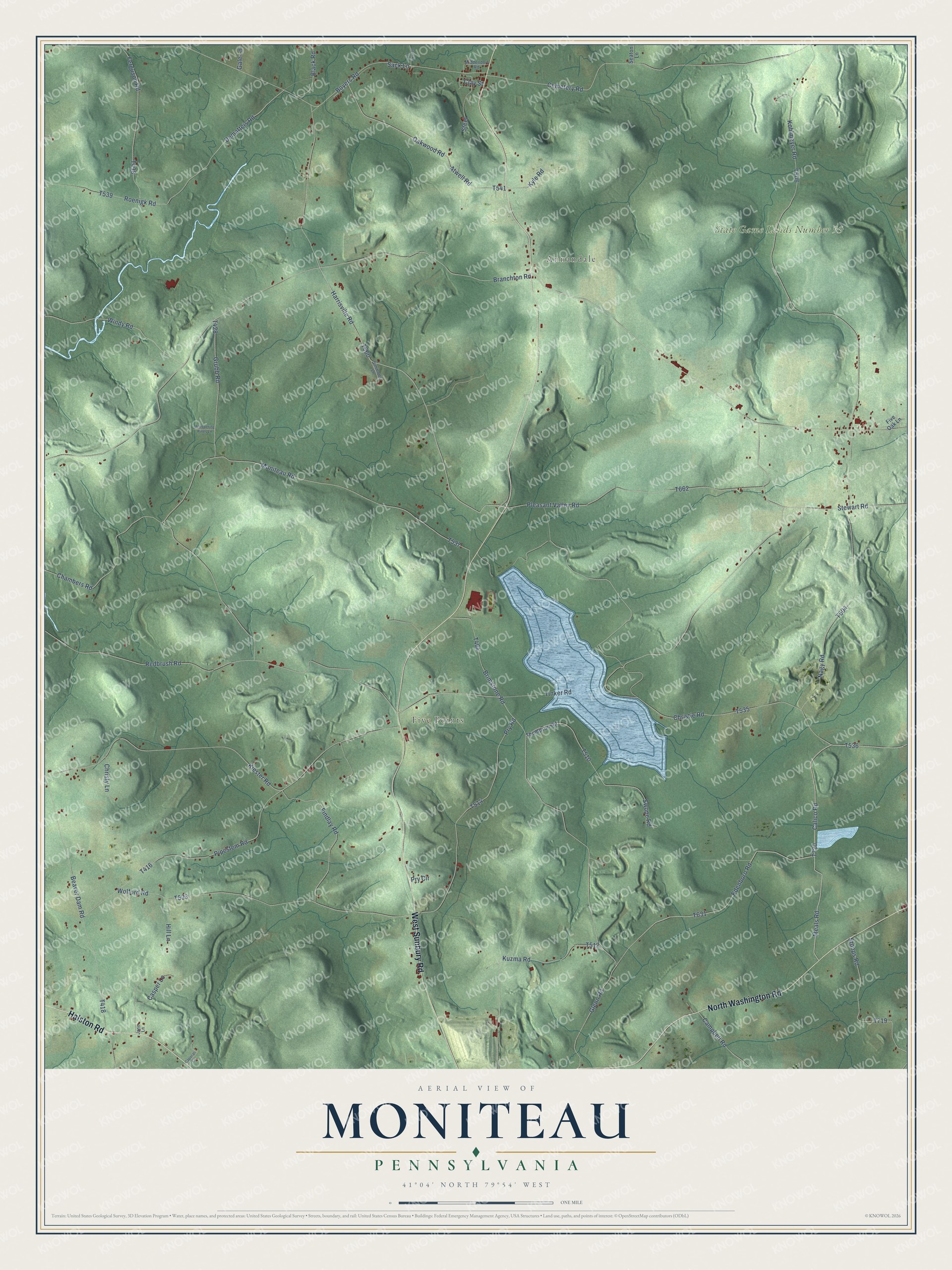
This beautifully detailed map of Moniteau, Pennsylvania was created in 2026 using aerial imagery combined with modern topographical, census, street and landmark data. It’s a one-of-a-kind view of Moniteau that combines accurate data with a vintage aesthetic. The map shows every building in its true location, many of the roads carry their names, and the shaded topographic relief shows the shape of the land.
Explore an aerial view of Moniteau, Pennsylvania
On the map you’ll find Annandale, Five Points, and State Game Lands Number 95, along with West Sunbury Road, North Washington Road, Halston Road, Calico Road, Meals Road, Atwell Road, and more. If you look closely you can even find your house accurately drawn in its correct location. Zoom in on the preview to look for yours.
Did You Know?
From Internet Archive: "In 1869, accomjianied by the wife and some of the children, he em. to and settled in Moniteau Co., AIo., and in 1879, into Lafayette Co., where Margaret d. 8, 29, 1885, and was bur. there in the cemetery at Odessa."
Moniteau is a community in Butler County.
Take a closer look at the Moniteau map
Names on this map
These names are printed on this map.
Places: Annandale, Five Points and State Game Lands Number 95.
Streets and roads: West Sunbury Road, North Washington Road, Halston Road, Calico Road, Meals Road, Atwell Road, Harrisville Road, Pleasant Valley Road, Dematteis Road, Branchton Road, Christie Road, Boyers Road.
More street names, A to Z
Beaver Dam Road, Black Road, Brimstone Road, Campbell Road, Caporali Lane, Casper Lane, Cemetery Road, Chambers Road, Christy Lane, Clay Street, Edenboro Road, Ferguson Road, Findlay Road, Five Oak Lane, Gale Lane, Glenn Road, Grubb Road, Hill Lane, Issacco Lane, Jane Lane, Kiester Road, Kohlmeyer Road, Kuzma Road, Kyle Road, Middendorf Road, Moniteau Road, Nagy Road, Oakwood Road, Pipestem Road, Pry Circle, Pry Road, Redbrush Road, Roenigk Road, Sack Lane, Seaton Lane, Simmons Lane, Steel, Stewart Road, Stoops Road, Swope Road, Thompson Road, Tinker Road, Whispering Pines Lane, Windy Road, Wolford Road.
See it on a wall
The Moniteau map as a framed print. Swipe for more.


This beautifully detailed map of Moniteau makes an attractive addition to your office, library, or den, and it can even be used to teach children the geography and history of the area. It also makes a great gift for someone who left Moniteau and still calls it home. When you’re done exploring, click here to get your copy of the Moniteau map.